Chanzy Market
Experience the vibrant atmosphere and fresh regional products at this popular local market.
Plizio Visual Lab
Stop by any local artisanal boulangerie early in the morning.
Explore the cheese stalls at the local outdoor market.
Try a classic plat du jour at a neighborhood brasserie.
Great for seasonal fruits, vegetables, and regional delicacies.
The main thoroughfare offering various small shops and bakeries.
A tranquil spot for a morning jog or a peaceful riverside stroll.
A small but well-kept green space for a short rest.
Water temperature…
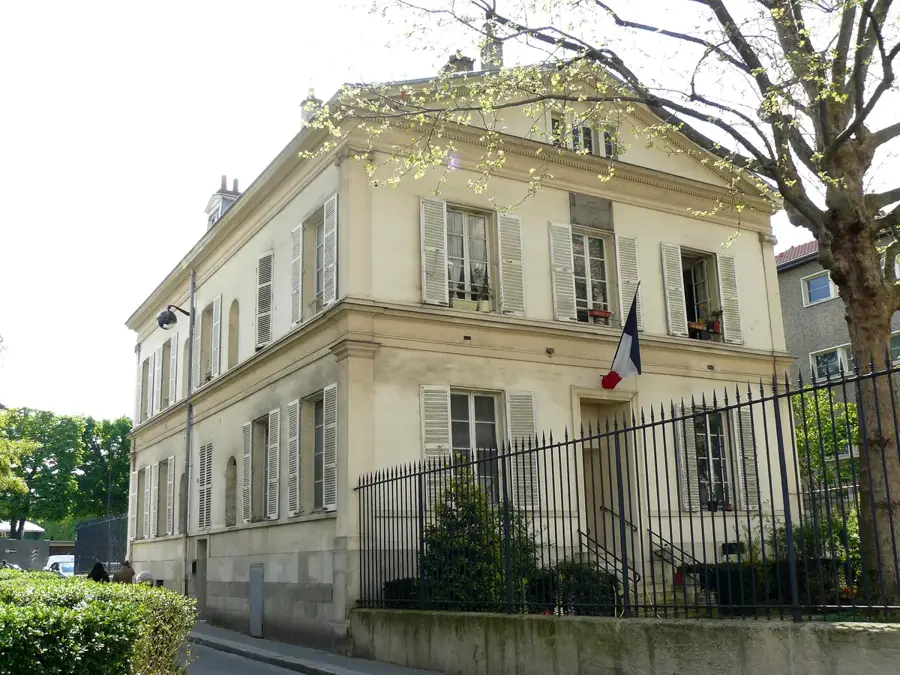
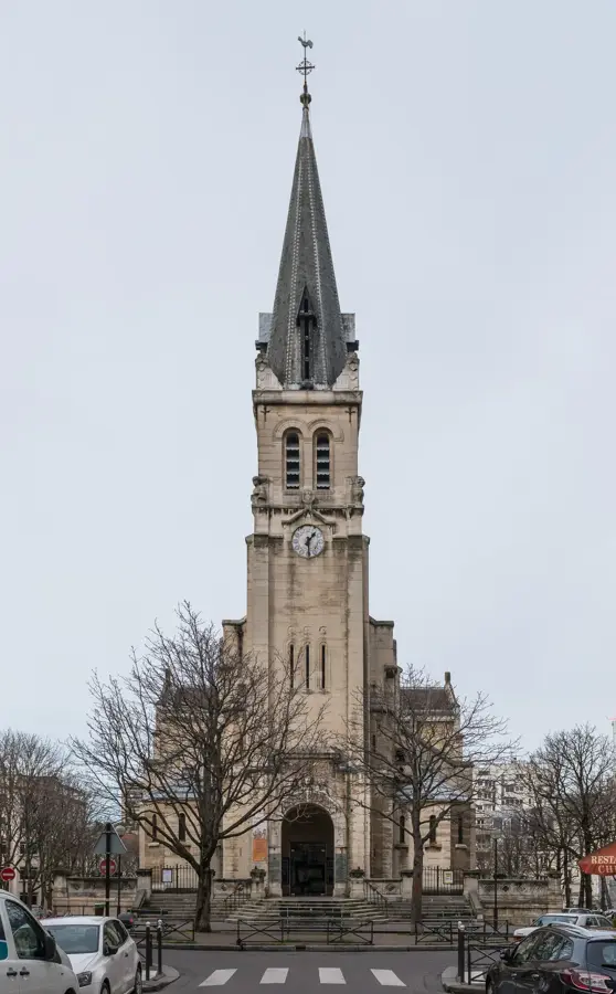
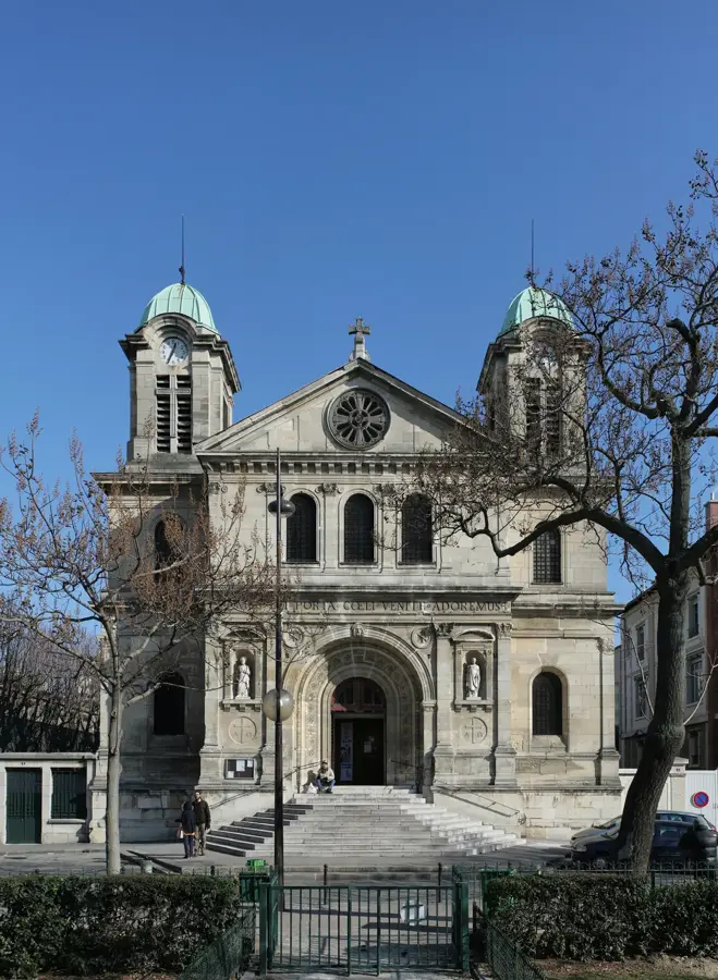
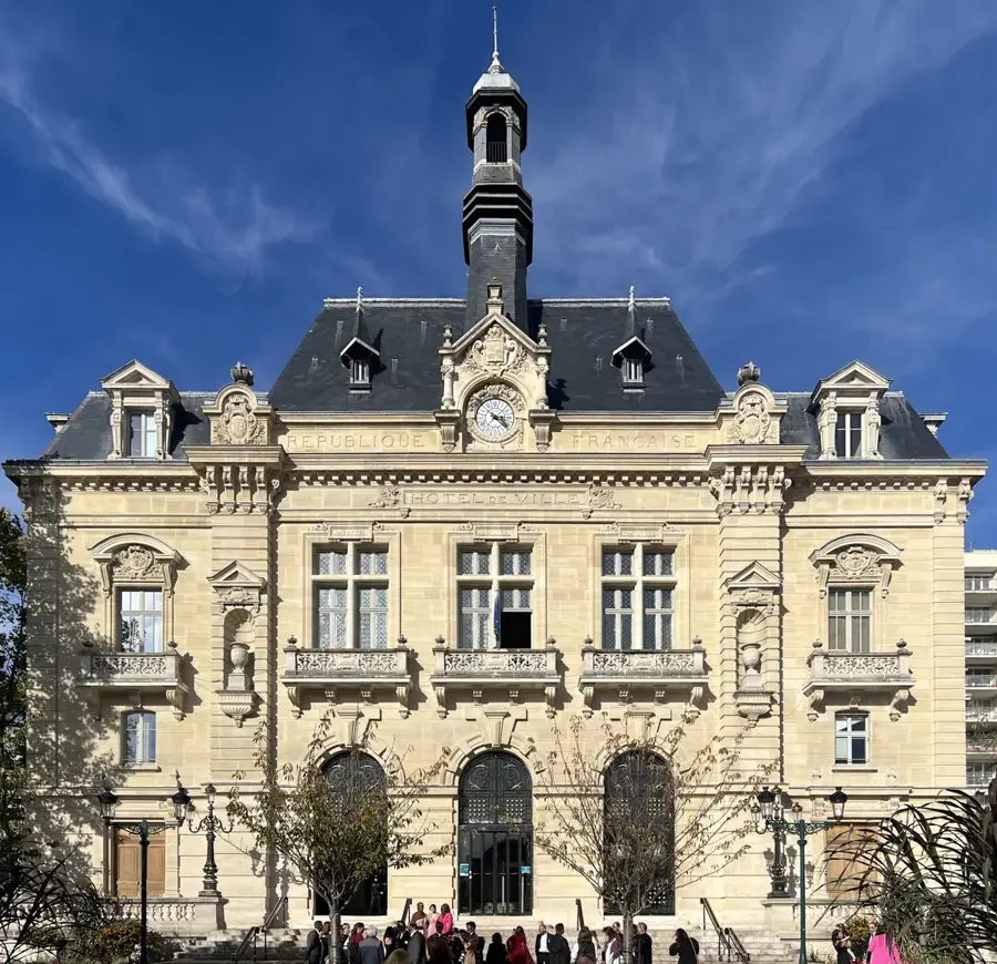
Located in the Seine-Saint-Denis department, Les Pavillons-sous-Bois stretches as a narrow urban corridor along the scenic banks of the Canal de l'Ourcq. The municipality was only officially established in 1905, when it administratively separated from the neighboring town of Bondy. Its name originates from two historical guard pavilions built in the 18th century at the entrance of a massive aristocratic estate; one of these original stone structures still stands today at the Place de la Fourche, serving as the town's architectural emblem. The Canal de l'Ourcq forms the green backbone of the community. Its paved towpaths, historically used by horses to pull heavily loaded cargo barges toward Paris, have been converted into shaded, highly popular trails for cyclists, inline skaters, and casual walkers. In the town center, the Church of Notre-Dame-de-Lourdes, constructed in the 1920s, features a simple yet perfectly proportioned facade. The residential districts are largely composed of small single-family homes surrounded by lush private gardens, giving the area a distinctly tranquil, suburban character. With the T4 tram line seamlessly connecting residents to major RER railway hubs, the neighborhood has become an increasingly attractive destination for young families relocating from the capital.
The most pleasant time to visit is Jun–Aug.
| Jan | Feb | Mar | Apr | May | Jun | Jul | Aug | Sep | Oct | Nov | Dec | |
|---|---|---|---|---|---|---|---|---|---|---|---|---|
| Avg °C | 3 | 4 | 7 | 10 | 14 | 17 | 19 | 19 | 16 | 12 | 7 | 4 |
| Rain mm | 54 | 50 | 52 | 39 | 64 | 60 | 55 | 59 | 42 | 57 | 61 | 69 |
Notable places around
Where do you start? We build the route here, with stops and country notes along the way.
© OpenStreetMap contributors · OpenRouteService
Micro-Folie in Les Pavillons-sous-Bois is an innovative digital art and cultural center.