Flea Market in Bergues
A market for everyone with various stalls, food, and drinks. Free entry and accessible for all in a festive atmosphere.
Plizio Visual Lab
A hearty Flemish beef and beer stew, best enjoyed in a traditional estaminet in the wider area.
A cold potted meat dish typical of French Flanders, available at local brasseries.
Flemish-style waffles, a well-suited sweet treat from the local bakeries.
Look out for 'vente à la ferme' signs to buy fresh local vegetables and dairy directly from producers.
Great for picking up regional Flemish pastries and fresh bread.
A beautiful local lake area with walking paths, excellent for a peaceful afternoon.
A quiet canal path where you can enjoy the characteristic polder scenery.
Water temperature…
A market for everyone with various stalls, food, and drinks. Free entry and accessible for all in a festive atmosphere.
A 50km digital treasure hunt by bike! Use the free 'Geogaming' app to explore the heritage of linen and the Flemish countryside.
Discover local plants through artistic practices like clay modeling and plant prints in the heart of the historic ramparts of Bergues.
Explore the rich flora and fauna that have settled in the corners and canals of Bergues' ancient fortifications.
Don't fear the eight legs! Discover the fascinating and harmless life of Flemish spiders in their natural habitat.
Discover the incredible biodiversity of ladybugs in the region and learn all about their fascinating life cycle.
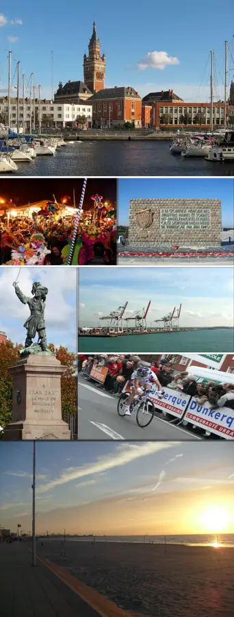
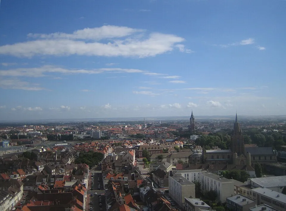
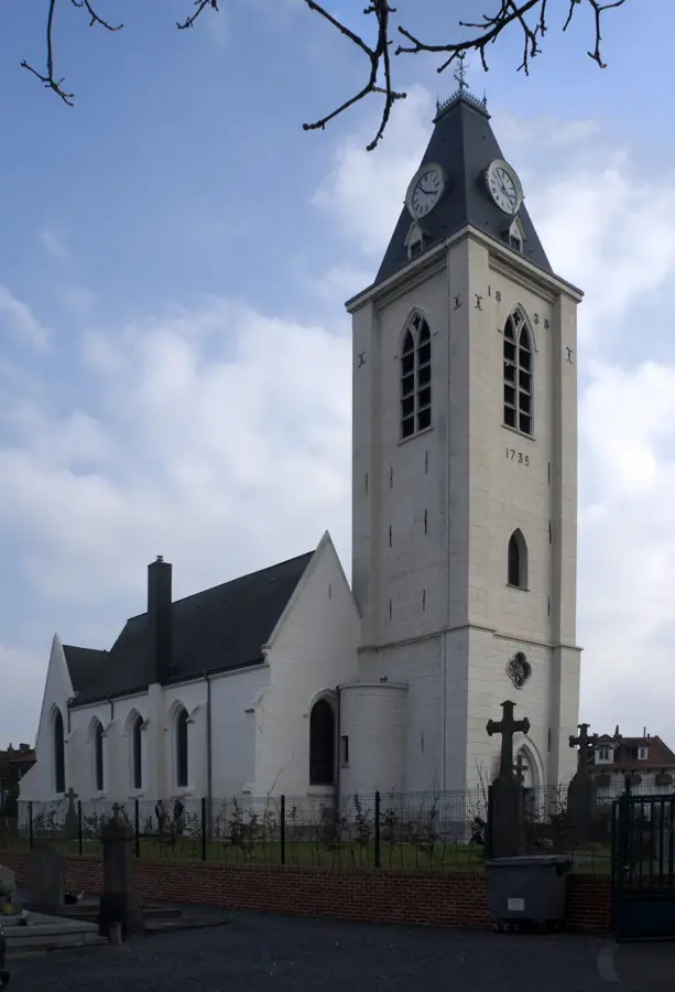
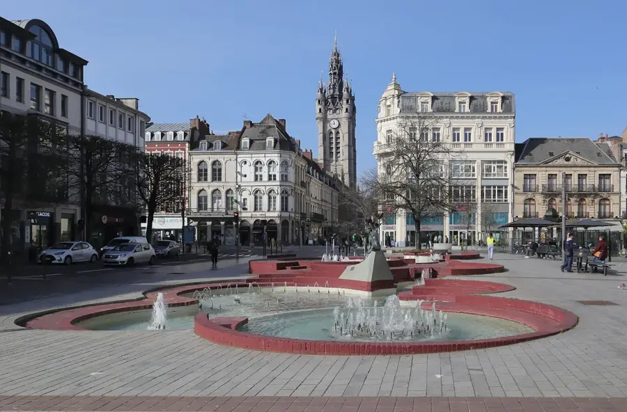
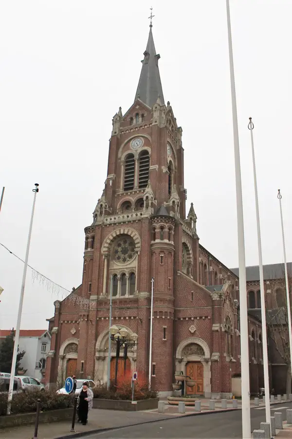
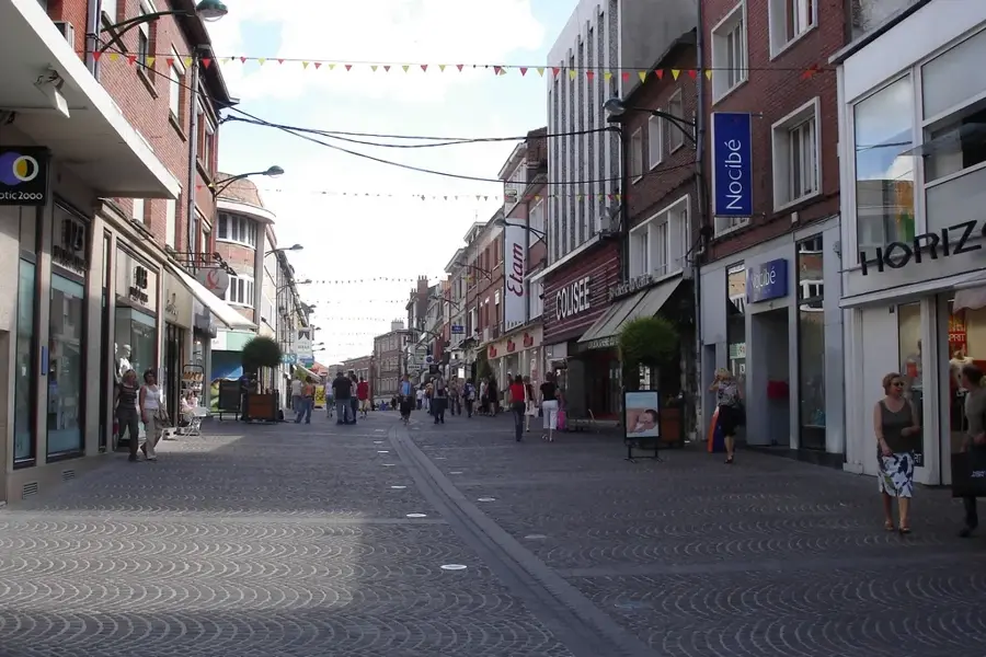
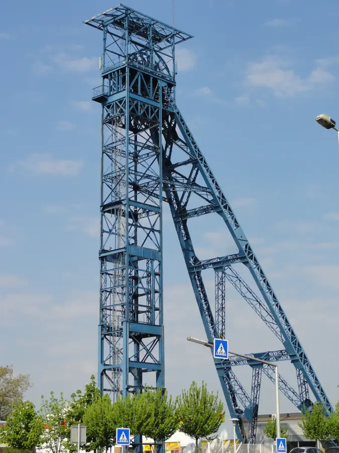
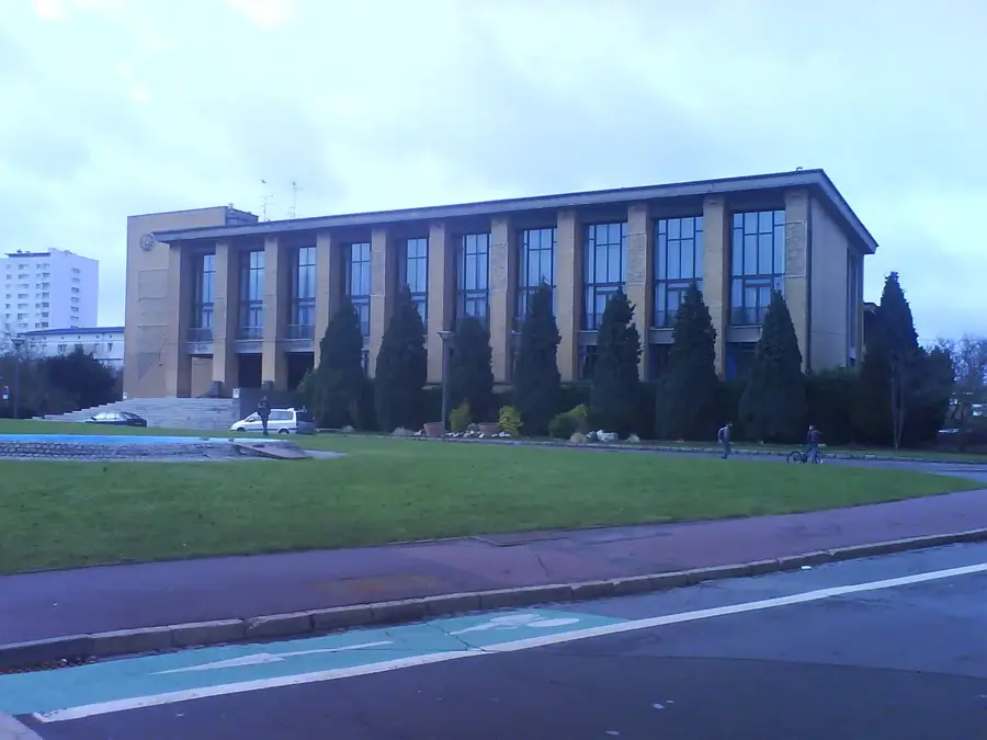
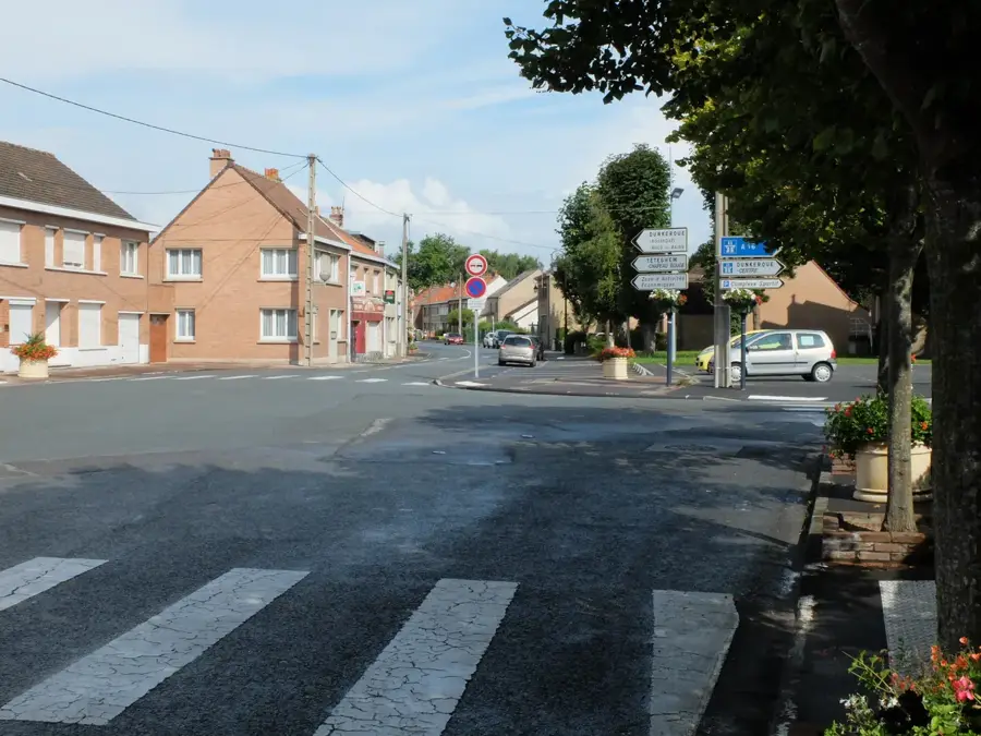
Téteghem is a town in the Nord department of northern France, recently merged to form Téteghem-Coudekerque-Village. It is situated on the eastern edge of Dunkirk, within the coastal plain of French Flanders. The geography of the area is defined by polders, land reclaimed from the sea through an intricate network of drainage ditches known as 'watergangs'. This unique environment has shaped the town's history, moving from a rural marshy village to a vital part of the Dunkirk urban area. During World War II, Téteghem was a strategic location during the Siege of Dunkirk, witnessing significant military action. Today, it serves as a desirable residential area, balancing its proximity to the heavy industry and port of Dunkirk with high-quality green spaces. The town is committed to preserving its Flemish heritage, which is visible in the local brick architecture and the annual festivals featuring 'giants'. Its natural surroundings, particularly the wetland areas, are protected as important biodiversity sites in the Hauts-de-France region.
The most pleasant time to visit is Jun–Aug.
| Jan | Feb | Mar | Apr | May | Jun | Jul | Aug | Sep | Oct | Nov | Dec | |
|---|---|---|---|---|---|---|---|---|---|---|---|---|
| Avg °C | 4 | 5 | 6 | 9 | 13 | 16 | 18 | 18 | 15 | 12 | 8 | 5 |
| Rain mm | 65 | 56 | 51 | 38 | 55 | 58 | 69 | 74 | 57 | 74 | 80 | 79 |
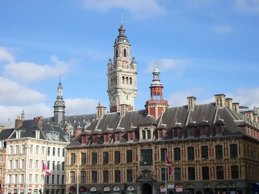
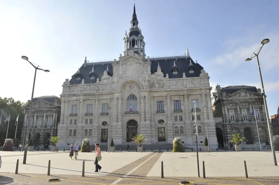
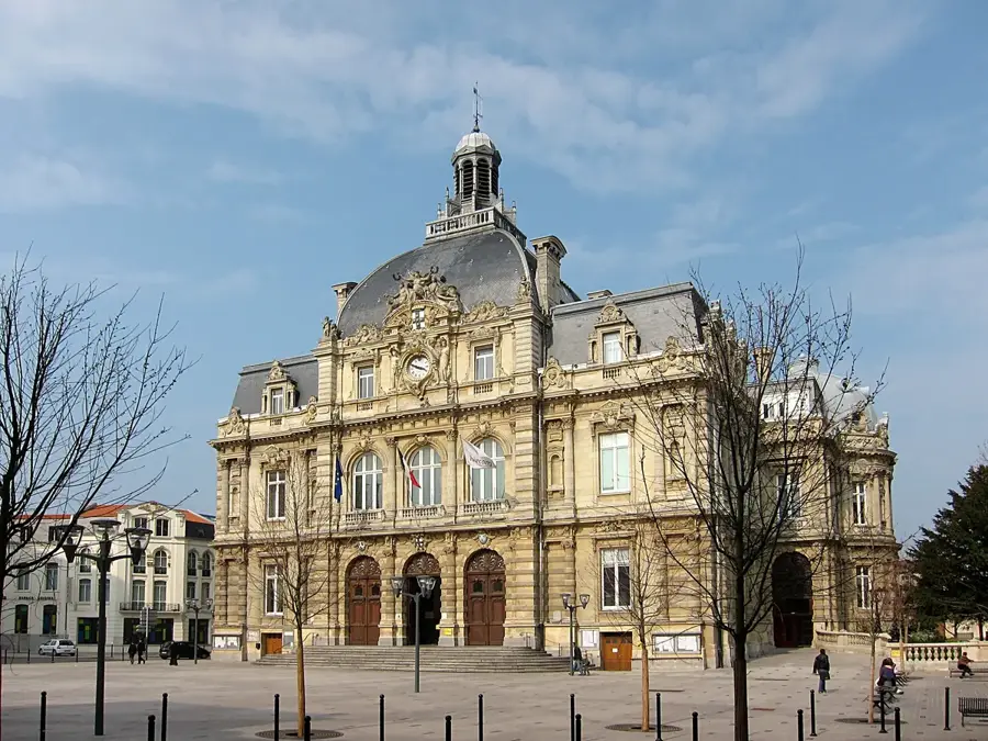
Notable places around
Where do you start? We build the route here, with stops and country notes along the way.
© OpenStreetMap contributors · OpenRouteService