Plizio Visual Lab
Téteghem-Coudekerque-Village
ℹ️Practical info — Téteghem-Coudekerque-Village
▾
🌤 Weather — 5 days
📍 Nearby
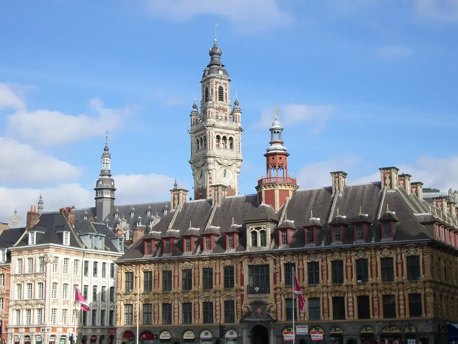
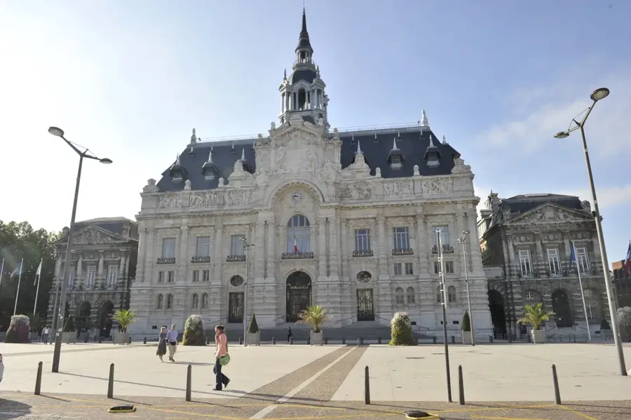
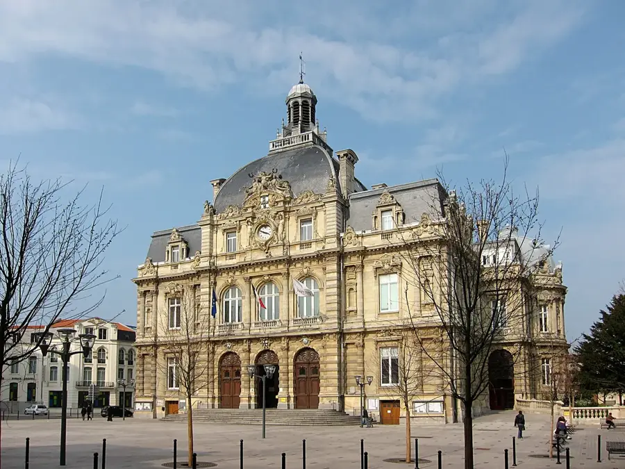
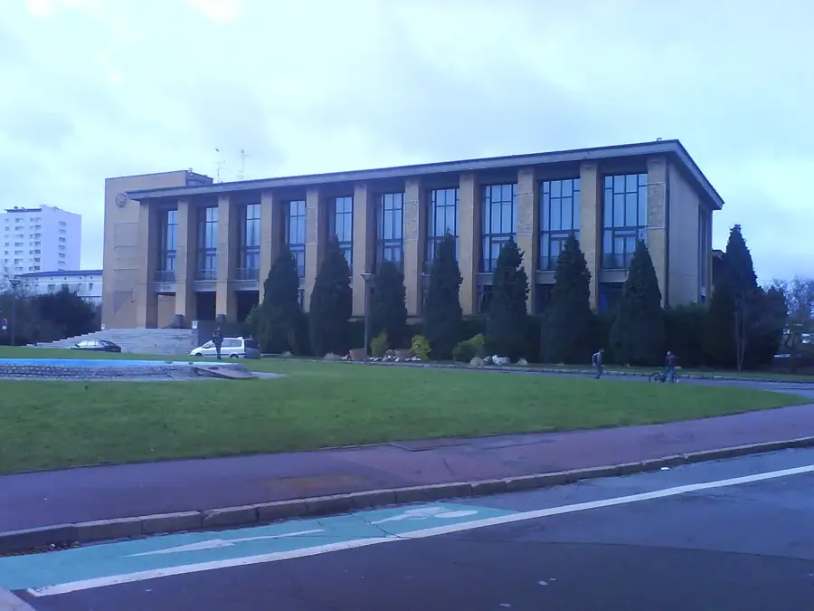
Sights nearby
💡 Tips
- The polder landscapes are very flat and exposed to the wind, so bring a windbreaker for outdoor activities.
- Renting a bicycle is the best way to explore the extensive network of paths connecting the villages.
- If you visit in early spring, look out for the spirited local carnival traditions of the Dunkirk area.
- Some rural farm shops have specific afternoon opening hours, so check ahead before driving out.
🍽 Food
A traditional Flemish meat jelly dish served cold with fries in local estaminets.
Beef stewed in local beer, a comforting classic found in regional taverns.
Grab a sweet waffle from local bakeries for a first-rate afternoon treat.
🛍 Shopping · 🧘 Quiet spots
Stop by local polder farms for fresh dairy, eggs, and seasonal vegetables.
Look for small-batch Flemish beers in independent grocery shops.
A serene lake area with walking paths and spots for picnicking.
Enjoy a quiet walk along the water with views of the flat Flemish landscape.
Water temperature…
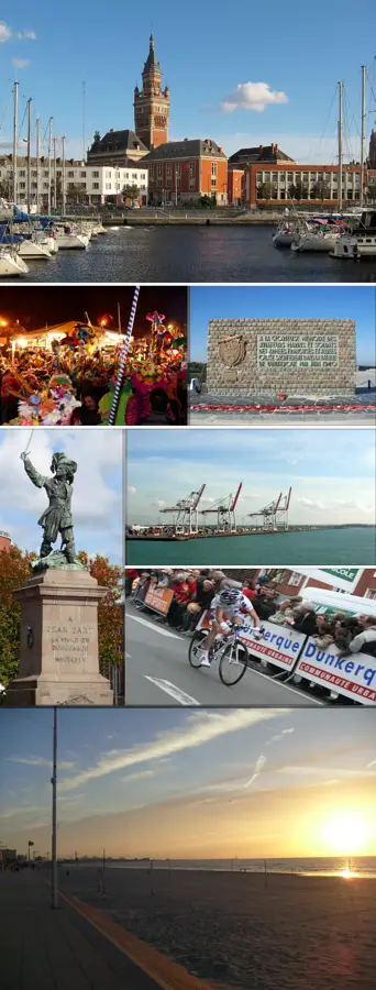
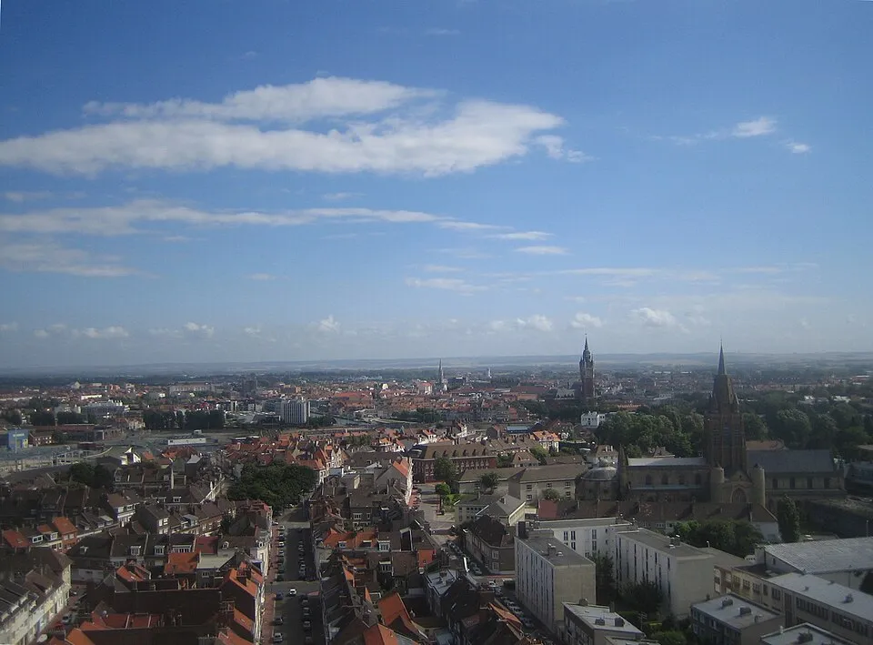
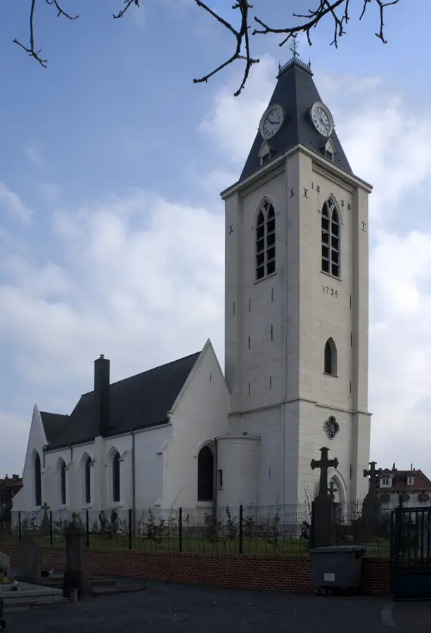
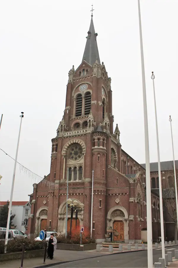
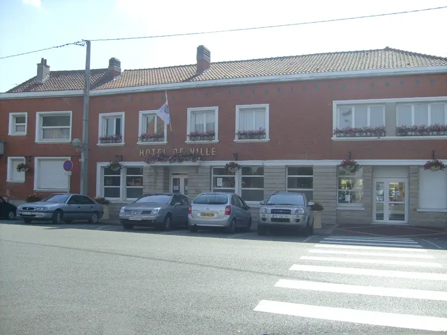
Téteghem-Coudekerque-Village is located in the Nord department, just southeast of Dunkirk in French Flanders. The municipality was created on January 1, 2016, by merging the urbanized Téteghem with the pastoral Coudekerque-Village. The geography of the area is defined by its position on the coastal polders, flat lands reclaimed from the sea that are maintained by an intricate system of drainage canals. Historically, the area was part of the defensive belt surrounding the strategic port of Dunkirk, and today the 'Bois des Forts' stands as a major public park and nature reserve built on the remains of 19th-century fortifications. The town's architecture is quintessentially Flemish, featuring red brick buildings and historic churches like Saint-Pierre. The local economy is tied to the industrial and shipping activities of Dunkirk, while Coudekerque-Village maintains its agricultural roots. Cultural life is rich with local folklore, including traditional carnivals and 'Géants' (giant puppets) processions. Its location gives a peaceful suburban atmosphere with easy access to the North Sea beaches and the Belgian border, making it a unique crossroads of cultures.
- Location: Hauts-de-France, France
- Top sights: Fort Louis · Bois des Forts · Canal de la Basse Colme
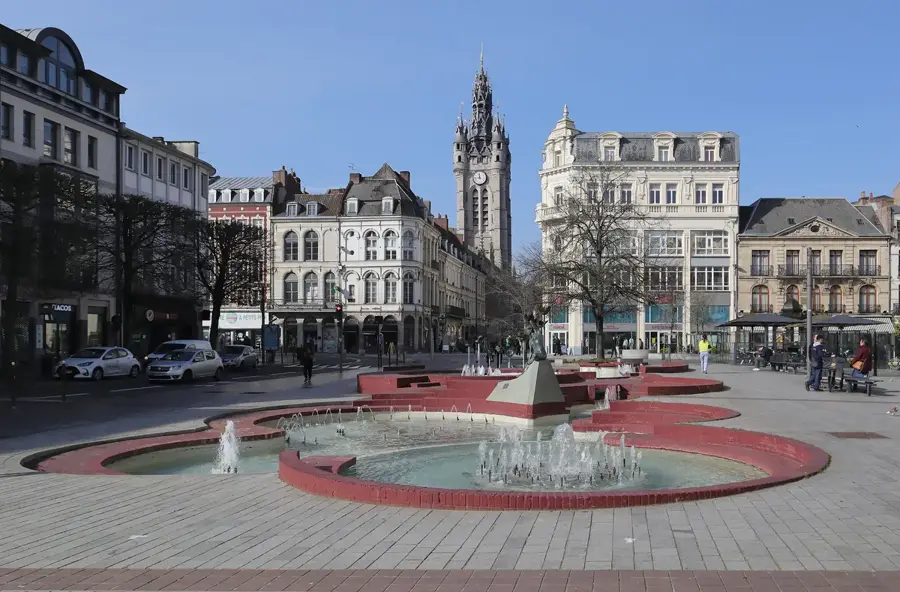
- Nearby: Dunkerque (5 km)
- Population: ~8.384
Best time to visit & climate
The most pleasant time to visit is Jun–Aug.
| Jan | Feb | Mar | Apr | May | Jun | Jul | Aug | Sep | Oct | Nov | Dec | |
|---|---|---|---|---|---|---|---|---|---|---|---|---|
| Avg °C | 4 | 5 | 6 | 9 | 13 | 16 | 18 | 18 | 15 | 12 | 8 | 5 |
| Rain mm | 65 | 56 | 51 | 38 | 55 | 58 | 69 | 74 | 57 | 74 | 80 | 79 |
Geography
Facts
- Total area of approximately 30.44 km²
- Established by decree on September 23, 2015
- Home to the 'Bois des Forts' landscape park
- Part of the Dunkirk Urban Community
- Maximum altitude is just 10 meters above sea level
- Features the prominent Saint-Pierre brick church
Explore nearby
Notable places around
Route planner — Car & Motorhome
Where do you start? We build the route here, with stops and country notes along the way.
© OpenStreetMap contributors · OpenRouteService
Sights in the town Téteghem-Coudekerque-Village (5)
Frequently asked questions
Where is Teteghem-Coudekerque-Village located?
What is a historical sight there?
Is the area good for cycling?
What culinary influences are there?
How close is the beach of Malo-les-Bains?
Téteghem-Coudekerque-Village: where is it located?
Téteghem-Coudekerque-Village: what is there to see?
Téteghem-Coudekerque-Village: when is the best time to visit?
Téteghem-Coudekerque-Village: why is it worth visiting?

Nearby cities