Plizio Visual Lab
Le Conquet
ℹ️Practical info — Le Conquet
▾
🌤 Weather — 5 days
📍 Nearby
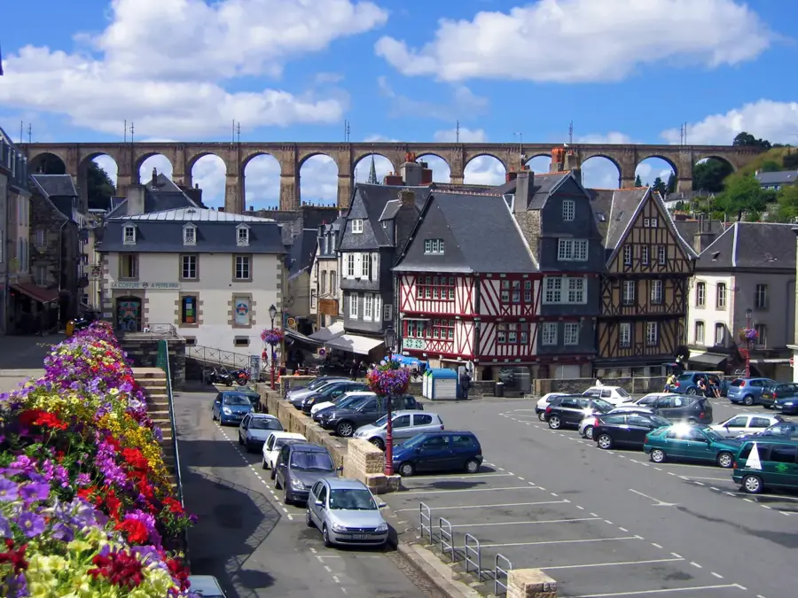
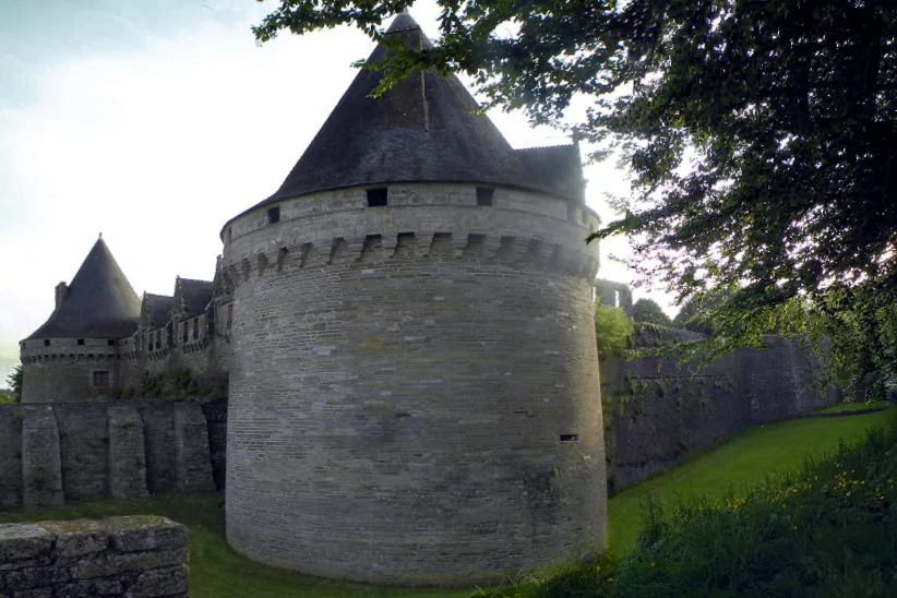
Sights nearby
💡 Tips
- Book ferry tickets to Ouessant or Molène well in advance during summer.
- Parking near the port can be difficult; use the large car parks at the town entrance.
- Watch the fishing boats return in the late afternoon to see the fresh catch.
- Walk the GR34 coastal path towards the Pointe de Kermorvan for sunset views.
🍽 Food
Find them in authentic crêperies near the port or village center.
Enjoy locally caught crab, lobster, and fish at the portside restaurants.
A buttery Breton pastry available at local bakeries.
🛍 Shopping · 🧘 Quiet spots
Buy locally made butter cookies and cider at specialized biscuiteries in town.
Head to Place de la Mairie for fresh produce and regional specialties.
Walk out to the lighthouse for sweeping, peaceful views of the sea and islands.
A long, wild sandy beach first-rate for a calming coastal walk.
Water temperature…
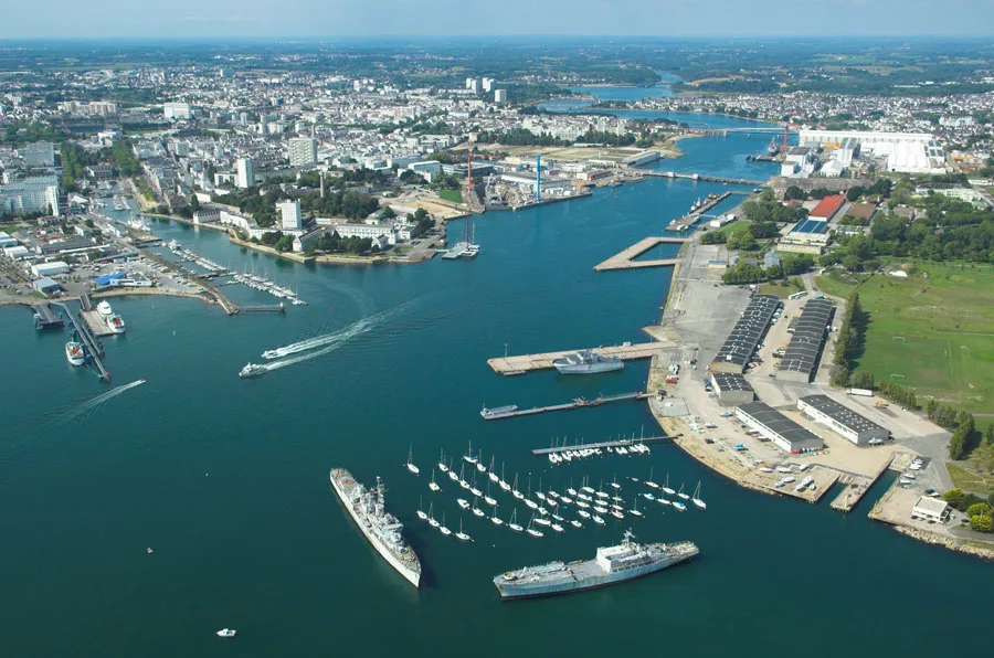
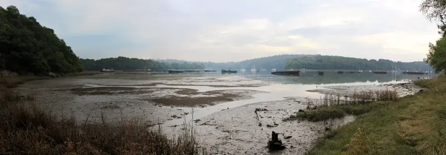
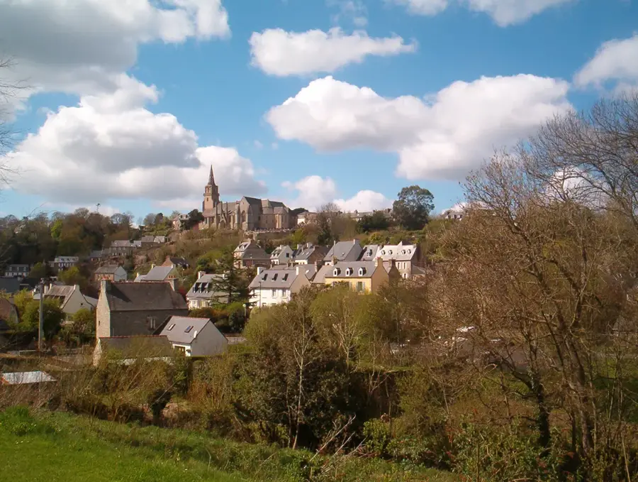
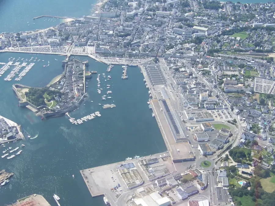
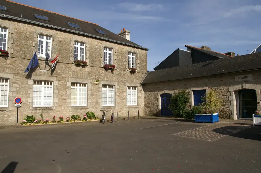
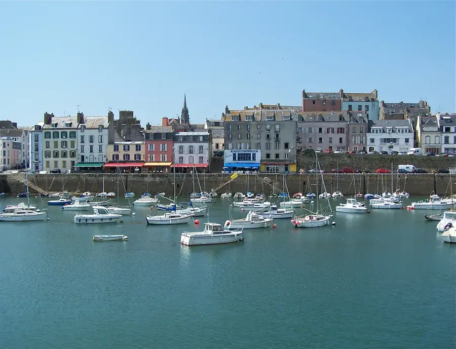
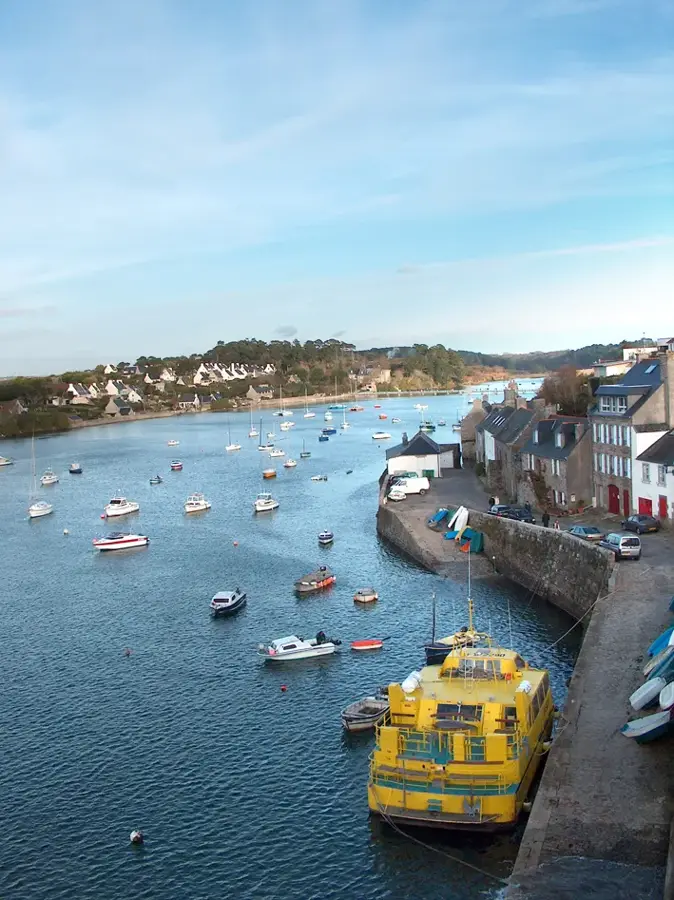
Located at the very western edge of the Finistère department, Le Conquet is a traditional Breton maritime town defined by its active fishing industry. The harbor is specialized in the catch of edible crabs and lobsters, with narrow streets of 16th-century granite houses reflecting the area's long-standing connection to the sea. The local coastline is jagged and exposed to the Atlantic, interspersed with high-quality beaches. Just north of the harbor lies the expansive Plage des Blancs Sablons, a 2.5-kilometer stretch popular for surfing. Closer to the town center, visitors can access Plage de Portez, Plage de Porz Liogan, and Plage de Porz Pabu. Plage de la Grève Bleue and Plage du Bilou complete the coastal offerings, connected by coastal trails. Le Conquet is heavily utilized as the main ferry terminal for reaching the rugged islands of the Iroise Sea, primarily Ouessant and Molène. The nearby Pointe de Kermorvan features a photogenic lighthouse and provides views across the harbor entrance and the open ocean.
- Location: Bretagne, France
- Top sights: Plage de Perzic · Plage des Blancs Sablons · Allée couverte
- Nearby: Plougonvelin (4 km)
- Population: ~2.516
Live webcam – Le Conquet
See what it looks like near Le Conquet right now.
Le Conquet · 1.4 km · Open webcam on Windy · Webcams provided by Windy.com
Geography
Facts
- Westernmost mainland French town
- In the Finistère department
- Active crab fishing port
- Gateway to Ouessant island
- 16th-century granite houses
- Near Kermorvan lighthouse
- Extensive surfing beaches
- Located on the Iroise Sea
Explore nearby
Notable places around
Route planner — Car & Motorhome
Where do you start? We build the route here, with stops and country notes along the way.
© OpenStreetMap contributors · OpenRouteService
Morning: Start at the Passerelle over the ria, stepping towards the wild beauty of the Kermorvan Peninsula. Enjoy the fresh maritime air and panoramic views. Midday: Discover the ancient Cromlech and the Allée couverte, ancient stones whispering tales of prehistoric Brittany amidst the rugged coastal heathland. Afternoon: Reach the iconic Lighthouse Kermorvan and explore the massive ruins of the Fort, guarding the jagged coastline against the fierce Atlantic waves. Evening: Conclude your walking adventure relaxing on the expansive Plage des Blancs Sablons, watching the breathtaking Breton sunset paint the horizon.
Passerelle
Cromlech de Kermorvan
Allée couverte
Lighthouse Kermorvan
Fort de Kermorvan
Plage des Blancs Sablons
The morning starts with mist on the footbridge and the scent of salt. By noon, we explore the Kermorvan peninsula as the rain intensifies. In the afternoon, the fort's thick walls provide a welcome break from the coastal wind. In the evening, we find shelter in the town's cozy cafes, listening to the rain.
Passerelle
Cromlech de Kermorvan
Allée couverte
Lighthouse Kermorvan
Fort de Kermorvan
Plage des Blancs Sablons
Enjoy the crisp winter air on the bridge. At noon, the ancient stones look majestic in the low winter sun. In the afternoon, the lighthouse is bathed in golden light before the early sunset. By 5 PM, head back to the charming town center as darkness falls.
Passerelle
Cromlech de Kermorvan
Allée couverte
Lighthouse Kermorvan
Fort de Kermorvan
Plage des Blancs Sablons
Morning: Pedal to the quiet Chapelle Saint-Michel and Phare de Lochrist to grasp the local maritime heritage before gliding across the ria. Midday: Enjoy cycling along the coastal paths towards the Redoute des Blancs-Sablons, embracing the salty breeze and the dramatic ocean vistas. Afternoon: Continue up the peninsula to the stoic Lighthouse Kermorvan, stopping by hidden sandy coves like Plage de Porz Pabu for a peaceful break. Evening: End your ride at the spectacular Fort de l'Îlette on the western edge, experiencing the raw power of the Atlantic as twilight approaches.
Chapelle Saint-Michel
Phare de Lochrist
Passerelle
Redoute des Blancs-Sablons
Lighthouse Kermorvan
Plage de Porz Pabu
Fort de l'Îlette
Cycling in the rain requires extra caution on the coastal paths. In the morning, visit the chapel under heavy clouds. At noon, battle the wind across the bridge. In the afternoon, find temporary shelter in the fort ruins before returning in the evening.
Chapelle Saint-Michel
Phare de Lochrist
Passerelle
Redoute des Blancs-Sablons
Lighthouse Kermorvan
Plage de Porz Pabu
Fort de l'Îlette
Winter cycling is invigorating but requires warm gear. In the morning, enjoy clear views at the chapel. At noon, cycle through the fresh coastal breeze. In the afternoon, reach the lighthouse in the warm winter light before returning as darkness falls by 5 PM.
Chapelle Saint-Michel
Phare de Lochrist
Passerelle
Redoute des Blancs-Sablons
Lighthouse Kermorvan
Plage de Porz Pabu
Fort de l'Îlette
Morning: Drive to the southern coastal edges at Plage de la Grève Bleue, then visit the inland sentinel, Phare de Lochrist, capturing early maritime charm. Midday: Head north towards the harbor entrance to explore the impressive Fort Saint-Louis and enjoy the serene sandy stretch of Plage de Perzic. Afternoon: Drive out to the Kermorvan peninsula to visit the iconic square Lighthouse, leaving your vehicle for a scenic walk out to the rocky point. Evening: Wrap up your coastal drive by wandering through the grand ruins of Fort de Kermorvan, soaking in the panoramic sea views at golden hour.
Plage de la Grève Bleue
Phare de Lochrist
Fort Saint-Louis
Plage de Perzic
Lighthouse Kermorvan
Fort de Kermorvan
Explore the coastline comfortably from the warmth of your car. In the morning, watch the stormy sea from the beach. At noon, visit the fort during the rain. In the afternoon, drive to the lighthouse for dramatic views before ending the day in town.
Plage de la Grève Bleue
Phare de Lochrist
Fort Saint-Louis
Plage de Perzic
Lighthouse Kermorvan
Fort de Kermorvan
In winter, the car provides a perfect escape from the coastal cold. In the morning, drive along the coast in the crisp light. At noon, visit the historic forts. In the afternoon, catch the sunset at the lighthouse before warming up in town.
Plage de la Grève Bleue
Phare de Lochrist
Fort Saint-Louis
Plage de Perzic
Lighthouse Kermorvan
Fort de Kermorvan
Sights in the town Le Conquet (16)
Frequently asked questions
What is Le Conquet known for?
Which is the best beach in Le Conquet?
What can you see in the old town?
How do you get to Ouessant?
Is Le Conquet good for hiking?
Le Conquet: where is it located?
Le Conquet: what is there to see?
Le Conquet: why is it worth visiting?

Nearby cities