Terrenoire Covered Market
A traditional market in Terrenoire offering a wide variety of food products and manufactured goods.
Plizio Visual Lab
A traditional potato pancake from the region; find it in cozy local restaurants.
Try this herbed fromage blanc spread, often served with potatoes.
These sweet, fried pastries are a local favorite, especially around carnival time, available in bakeries.
Look for locally made ribbons and textiles, a nod to the area's rich weaving heritage.
Visit the weekly market for fresh produce and regional cheeses.
Take a hike up to this peak in the nearby Pilat Regional Nature Park for a peaceful escape and vast views.
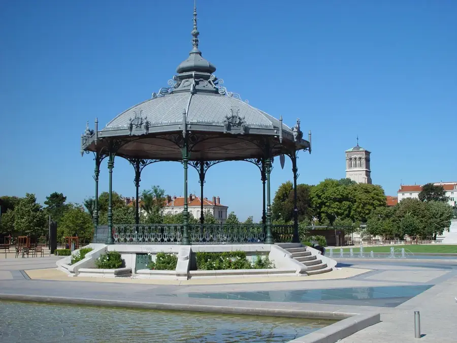
Relax in one of the small, well-kept parks scattered throughout the town.
Water temperature…
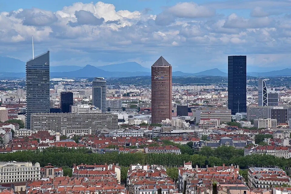
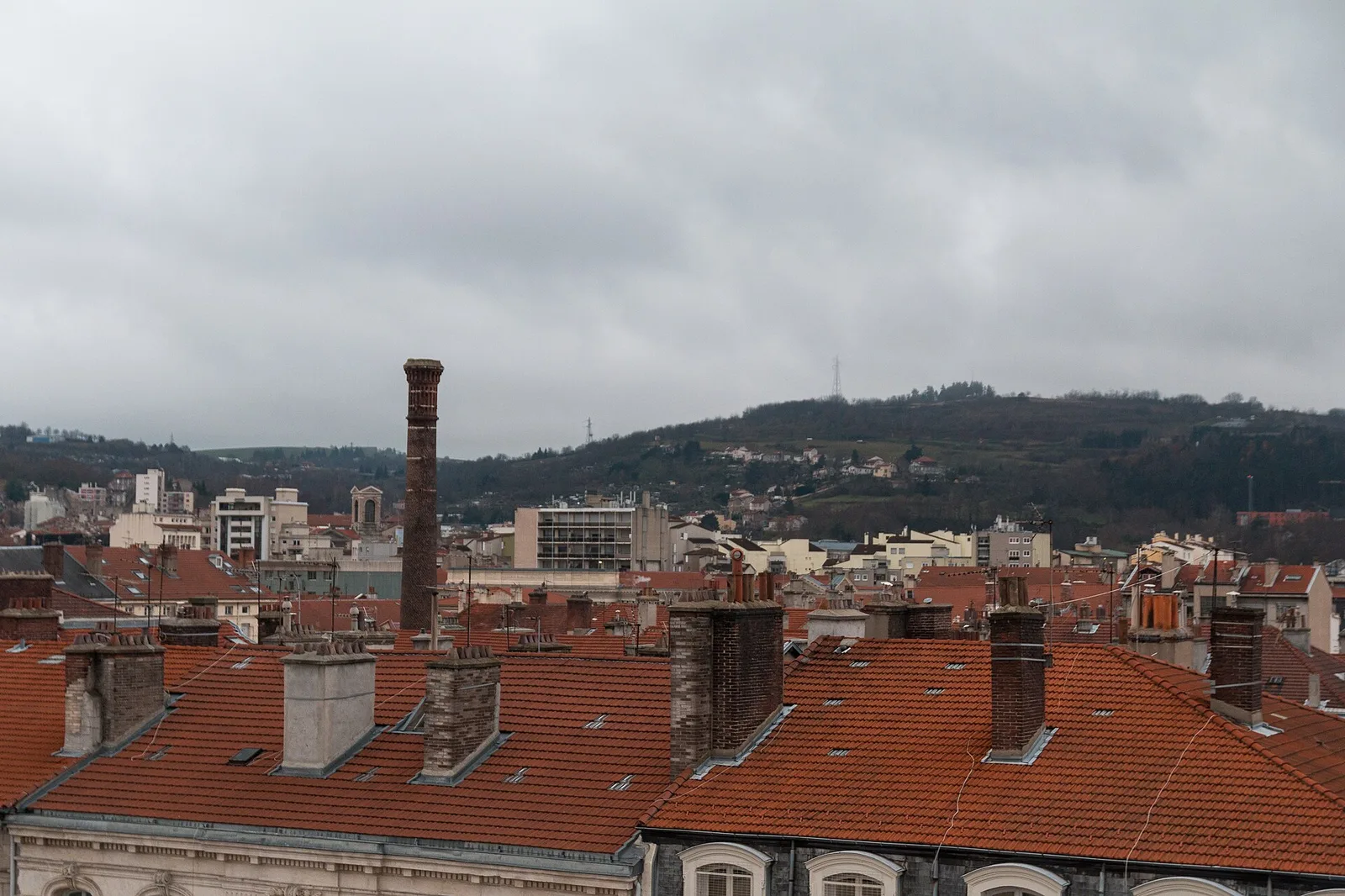
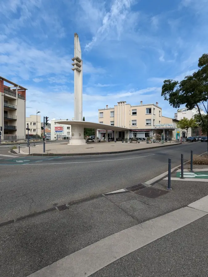
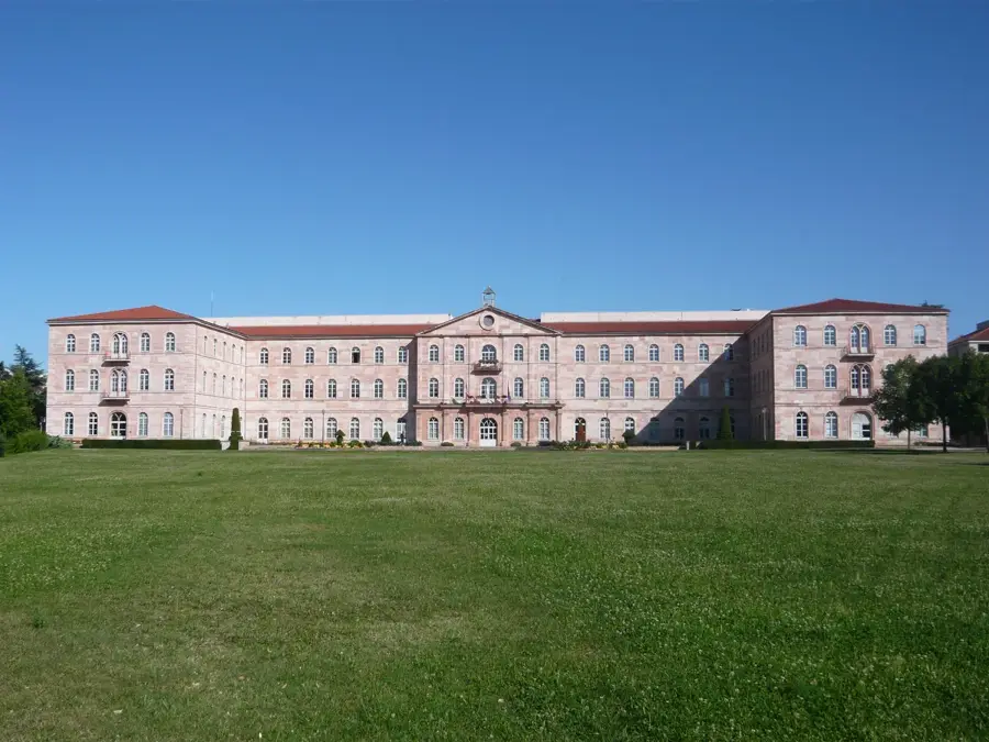
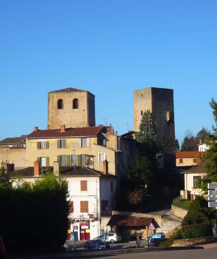
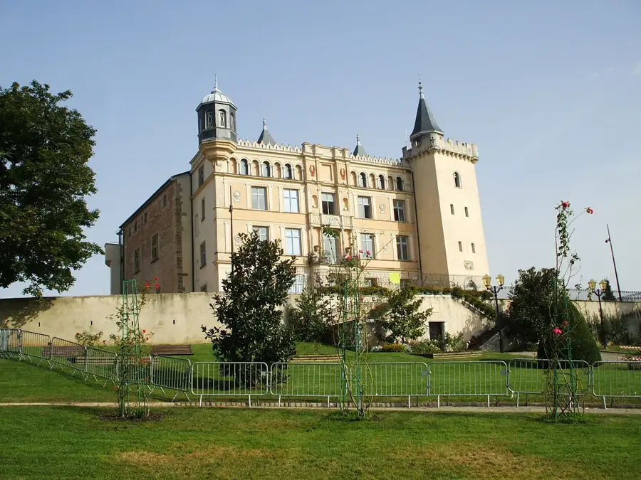
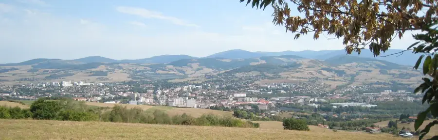
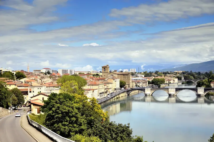
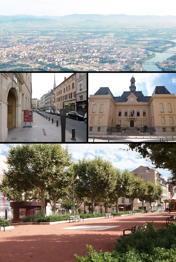
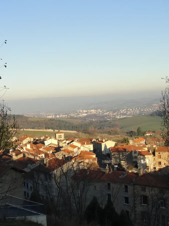
Saint-Jean-Bonnefonds is located in the Loire department, forming an essential part of the Saint-Étienne urban area. Historically, the town was a cornerstone of the regional coal mining industry and a center for high-quality silk ribbon weaving, known as passementerie. This dual heritage is celebrated at the Maison du Passementier, a museum that showcases the intricate looms and craftsmanship that once defined local life. Geographically, the town sits on a plateau overlooking the Saint-Étienne basin, located between the urban center and the rolling hills of the Forez. In recent years, Saint-Jean-Bonnefonds has successfully navigated the transition from heavy industry to a knowledge-based economy, exemplified by the 'Metrotech' business park, which hosts numerous innovative firms and startups. The community maintains a rich cultural calendar, featuring events that blend historical remembrance with modern festivities. Residents benefit from the town's extensive network of parks and its strategic position at the gateway to the Pilat Regional Natural Park, offering a first-rate balance between city amenities and outdoor recreation opportunities.
The most pleasant time to visit is Jun–Aug.
| Jan | Feb | Mar | Apr | May | Jun | Jul | Aug | Sep | Oct | Nov | Dec | |
|---|---|---|---|---|---|---|---|---|---|---|---|---|
| Avg °C | 1 | 2 | 5 | 9 | 13 | 18 | 20 | 20 | 15 | 11 | 6 | 2 |
| Rain mm | 42 | 35 | 43 | 57 | 75 | 64 | 65 | 64 | 56 | 72 | 73 | 50 |
Notable places around
Where do you start? We build the route here, with stops and country notes along the way.
© OpenStreetMap contributors · OpenRouteService