Plizio Visual Lab
Montluel
ℹ️Practical info — Montluel
▾
🌤 Weather — 5 days
📍 Nearby
Sights nearby
💡 Tips
- Climb up to the Chapelle Saint-Barthélemy for the best panoramic view of the town and the Rhône plain.
- The town is the gateway to the Dombes plateau; renting a bike to explore the nearby thousand ponds is highly recommended.
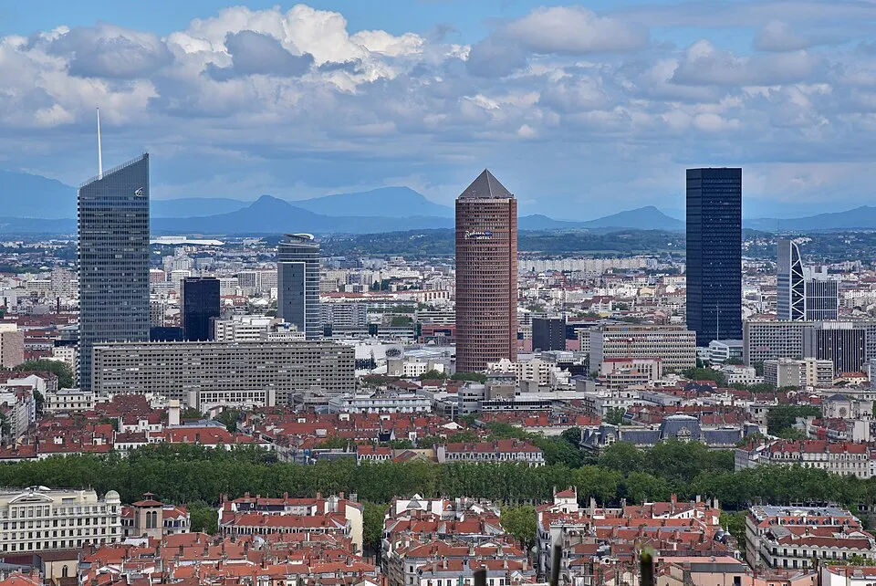
- Since Lyon is very close, you can easily use regional TER trains to commute back and forth, avoiding Lyon's city traffic.
- Visit on a Friday morning to catch the lively weekly market on Place Carnot.
🍽 Food
Look for traditional auberges towards the Dombes plateau serving locally sourced frog legs cooked with parsley and garlic.
A staple of the Dombes ponds, often served pan-fried in local restaurants.
A pink praline tart, famously Lyonnaise, available in bakeries along the main street.
🛍 Shopping · 🧘 Quiet spots
Place Carnot hosts stalls with fresh regional produce, cheeses, and charcuterie.
Look for local epiceries carrying honey produced from the diverse flora of the pond region.
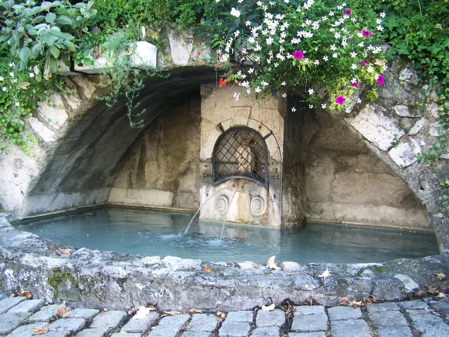
A relaxing walking path along the small Sereine river passing through the town.
A peaceful hilltop spot with a few benches, excellent for watching the sunset.
Water temperature…
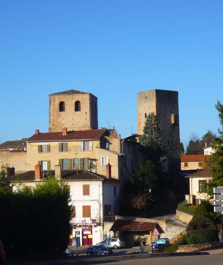
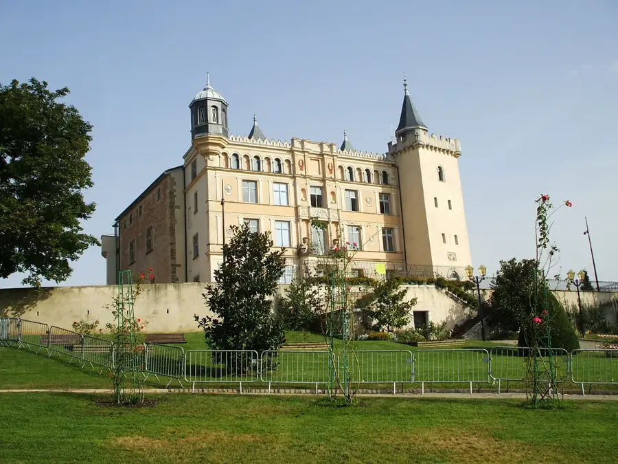
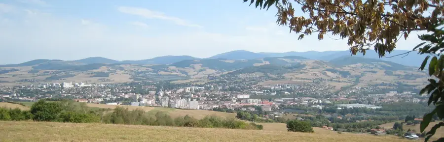
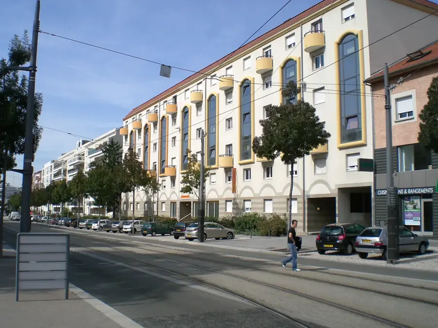
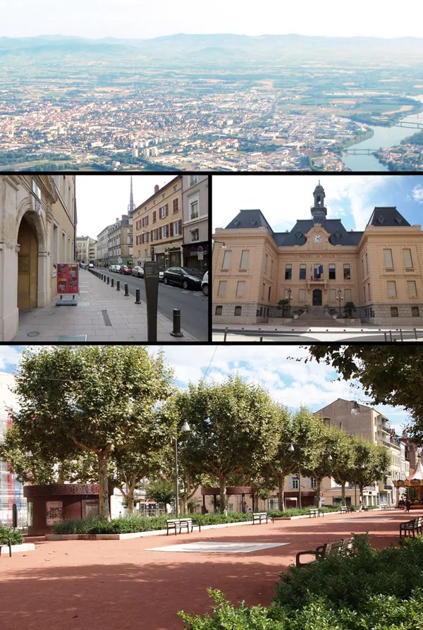
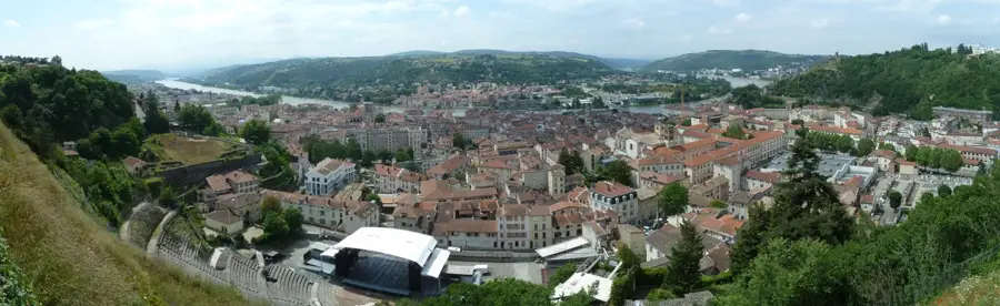
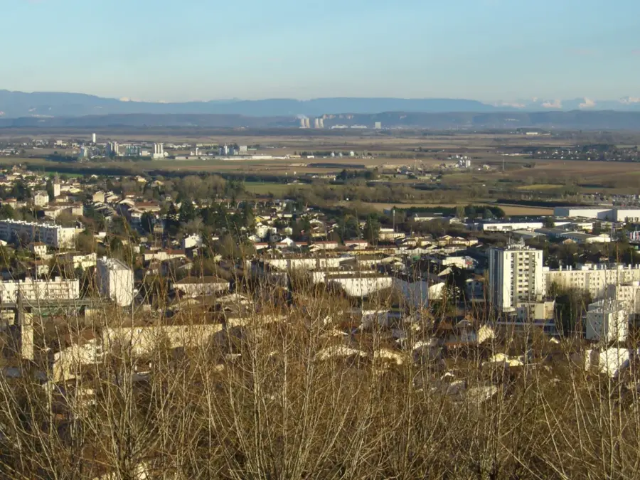
Montluel is a historic town in the Ain department, situated northeast of Lyon within the Auvergne-Rhône-Alpes region. It occupies a unique geographical position between the hills of the Côtière and the plateau of the Dombes, famous for its numerous ponds. During the Middle Ages, Montluel was the seat of a powerful seigniory, and the remains of its strategic castle still overlook the town today. The historic core preserves several notable landmarks, including the Saint-Barthélémy Chapel and the Church of Notre-Dame-des-Marais. The Sereine river flows through the heart of the commune, enhancing its scenic appeal. Today, Montluel's economy is characterized by its vitality, driven by its proximity to the A42 motorway and the Lyon-Geneva railway line, making it a hub for logistics and industrial companies. Despite its modern economic development, the town maintains a traditional atmosphere with lively local markets and a rich cultural life. It serves as a key administrative and service center for the surrounding Val de Saône area, blending historical heritage with modern infrastructure.
- Location: Auvergne-Rhône-Alpes, France
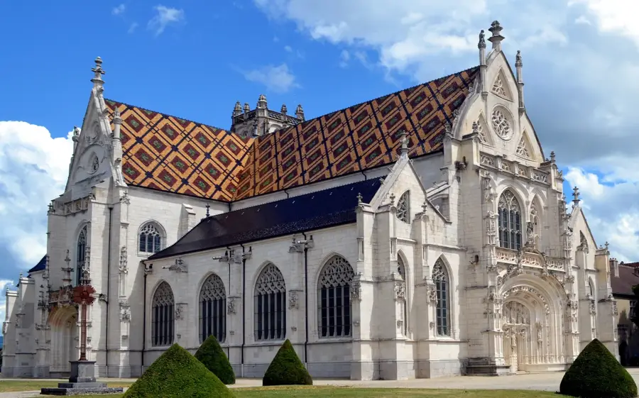
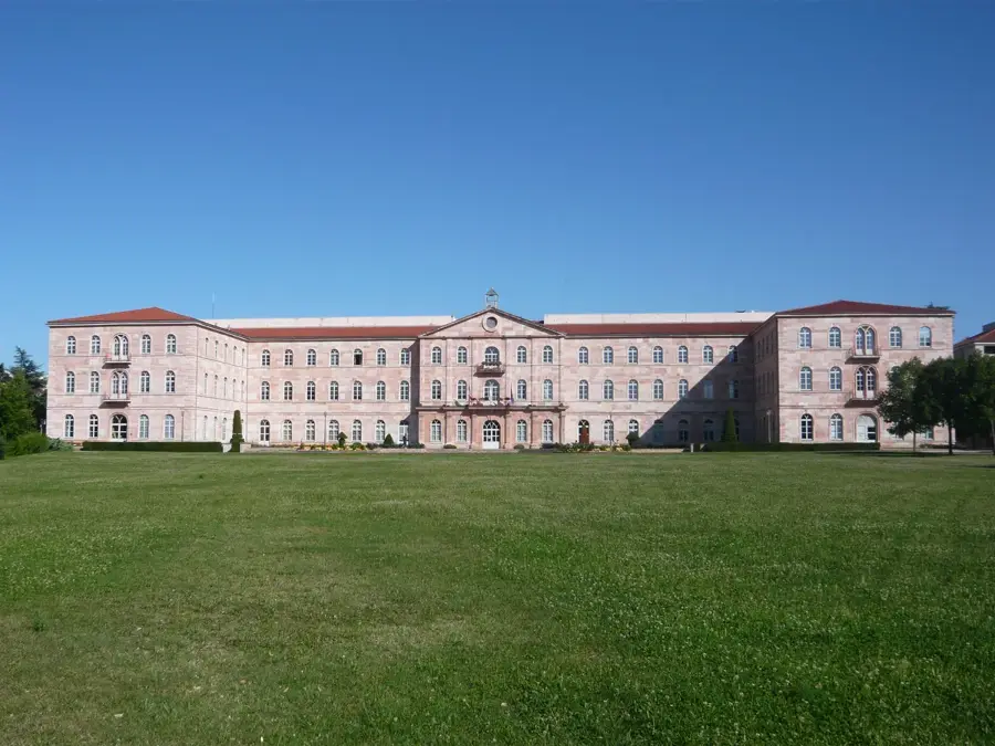
- Top sights: Église Notre-Dame-des-Marais · Musée d'Art et d'Histoire locale · Chapelle Saint-Barthélémy
- Nearby: Beynost (4 km)
- Population: ~7.112
Best time to visit & climate
The most pleasant time to visit is Jun–Aug.
| Jan | Feb | Mar | Apr | May | Jun | Jul | Aug | Sep | Oct | Nov | Dec | |
|---|---|---|---|---|---|---|---|---|---|---|---|---|
| Avg °C | 2 | 3 | 7 | 11 | 15 | 19 | 22 | 21 | 17 | 12 | 7 | 3 |
| Rain mm | 62 | 50 | 61 | 66 | 84 | 71 | 69 | 74 | 60 | 85 | 87 | 73 |
Live webcam – Montluel
See what it looks like near Montluel right now.
Beynost: Saint-Maurice-de - Péage de St Maurice de - sur l'A42, à l'est de Lyon, vue orientée vers Bourg en Bresse · 6.1 km · Open webcam on Windy · Webcams provided by Windy.com
Geography
Facts
- Population: 7,112 inhabitants
- River: Sereine
- Former capital of the Montluel seigniory
- Transport: proximity to A42 motorway
- Commune area: 40.23 km²
- Key monument: Church of Notre-Dame-des-Marais
Explore nearby
Notable places around
Route planner — Car & Motorhome
Where do you start? We build the route here, with stops and country notes along the way.
© OpenStreetMap contributors · OpenRouteService
Start the day in Montluel's center exploring deep history at the local museum and the gothic church. Midday invites you to wander up to the Chapelle Saint-Barthélémy for medieval vibes. In the afternoon, follow the Promenade de la Sereine for a tranquil riverside walk. Cap off the evening with modern fun at the OnlyVR center, offering a stark contrast to the morning's history.
Museum of Art and Local History
Église Notre-Dame-des-Marais
Chapelle Saint-Barthélémy
Promenade de la Sereine
OnlyVR
Start your morning indoors at the museum and seek shelter from the rain in the historic churches. A midday stroll along the Sereine requires a good umbrella as the paths get quite wet. End your rainy afternoon perfectly with exciting indoor virtual reality entertainment at OnlyVR.
Museum of Art and Local History
Église Notre-Dame-des-Marais
Chapelle Saint-Barthélémy
Promenade de la Sereine
OnlyVR
Enjoy the wonderfully heated museum and historic churches on a crisp winter morning. The midday walk by the Sereine is very brisk, demanding thick warm layers. Head over to OnlyVR in the late afternoon to stay cozy, as the sun sets completely by 5 PM and temperatures drop.
Museum of Art and Local History
Église Notre-Dame-des-Marais
Chapelle Saint-Barthélémy
Promenade de la Sereine
OnlyVR
Cycle first to the charming Saint-Barthélémy chapel, then glide down to explore Montluel's historical museum. Midday is perfect for admiring Notre-Dame-des-Marais before pedaling to the scenic outskirts. In the afternoon, rest your legs among the vibrant flowers at Jardin du Val Cottey. End your ride at Lac Neyton, where the gentle breeze makes for a perfect twilight conclusion.
Chapelle Saint-Barthélémy
Museum of Art and Local History
Église Notre-Dame-des-Marais
Jardin du Val Cottey
Lac Neyton
Morning rain showers are easily dodged by visiting the indoor chapel and museum first. Biking wet streets to the church requires extra caution. In the afternoon, wear a highly solid raincoat to enjoy the garden and lake, as dirt paths get quite slippery.
Chapelle Saint-Barthélémy
Museum of Art and Local History
Église Notre-Dame-des-Marais
Jardin du Val Cottey
Lac Neyton
Bundle up in several warm layers for a frosty morning ride to the local historic sites; the cycling will keep you nicely warm. The afternoon pedal to the lake offers stark, beautiful winter scenery, but definitely plan to finish your day by 5 PM before it gets freezing and pitch black.
Chapelle Saint-Barthélémy
Museum of Art and Local History
Église Notre-Dame-des-Marais
Jardin du Val Cottey
Lac Neyton
Drive straight into the town's heritage by visiting the central church and the comprehensive local art museum. Midday offers a short drive out to Jardin du Val Cottey, a beautiful garden oasis. In the afternoon, continue your road trip to Lac Neyton for expansive natural landscapes. Finish the evening at Gravières La Chaume, a stunning natural reserve showcasing local ecosystems.
Église Notre-Dame-des-Marais
Museum of Art and Local History
Jardin du Val Cottey
Lac Neyton
Gravières La Chaume
Your car makes hopping between the morning's church and museum wonderfully effortless and entirely dry. During the rainy afternoon, take only very short umbrella walks at the garden and lake. The gravel pits at La Chaume are visually fascinating in the rain but absolutely demand waterproof boots.
Église Notre-Dame-des-Marais
Museum of Art and Local History
Jardin du Val Cottey
Lac Neyton
Gravières La Chaume
Enjoy the highly comfortable heated seats of your car as you drive to the historic church and museum on a bitterly frosty morning. The nature spots in the afternoon look beautifully stark in the winter chill. Arrive at the gravel pits quite early, as the winter sun will set completely by 5 PM.
Église Notre-Dame-des-Marais
Museum of Art and Local History
Jardin du Val Cottey
Lac Neyton
Gravières La Chaume
Sights in the town Montluel (8)
Frequently asked questions
What is the historical core of Montluel?
How do you reach Lyon from Montluel?
What can you visit at the Apothicairerie?
Is the Dombes region nearby?
When is market day in Montluel?
Montluel: where is it located?
Montluel: what is there to see?
Montluel: when is the best time to visit?
Montluel: why is it worth visiting?

Nearby cities