Musical Evenings: Funk, Salsa, Disco
Every Friday and Saturday night, Samsonnet turns into a vibrant bar with funk, salsa, disco, and hits from the 80s to the 2000s.
Plizio Visual Lab
A must-try regional specialty: tiny pasta parcels filled with cheese and herbs, usually served in a rich cream sauce in traditional restaurants.
Grab a slice of this traditional brioche flavored with orange blossom from a local bakery.
If visiting in summer, buy fresh local apricots from a roadside farm stand or market.
Explore the small farm shops on the outskirts to buy local honey, nuts, and fresh seasonal vegetables.
For fashion and shoes, take a short drive to Marques Avenue in Romans-sur-Isère, famous for its shoe outlets.
A short drive away, this large wooded park has shaded walking trails excellent for a peaceful afternoon.
Drive towards the mountains for quiet hiking paths with scenic views of the Rhône valley.
Water temperature…
Every Friday and Saturday night, Samsonnet turns into a vibrant bar with funk, salsa, disco, and hits from the 80s to the 2000s.
Join the Bouquinade association for a friendly evening of board games. Bring your favorites and discover new ones!
Visit the farm, pet the young donkeys, and learn all about donkey breeding and traditional soap making.
On the second Friday of each month, Samsonnet hosts a karaoke night. Ready to step up to the mic and sing along?
Join us for a great gathering of vintage and classic vehicles – a must for all automotive enthusiasts!
An eco-friendly event featuring trail running and hiking in the foothills of the Vercors Park, organized by local sports clubs and the town of Rochefort-Samson.
The village of Hostun invites you to a festive evening to celebrate the World Music Day. Join the local community for a night of fun!
Join us for a festive evening with 4 stages and 12 local bands ready to make you dance! Enjoy pop-rock, French variety, and Corsican songs in a unique atmosphere.
Explore the history of Jaillans, a village built around a 12th-century Benedictine priory. Its church is a precious example of Romanesque architecture in the region.
Nestled between two rocks, Barbières evolved around the water of the Barberolle. Learn how water was the village's main energy source until the mid-19th century.
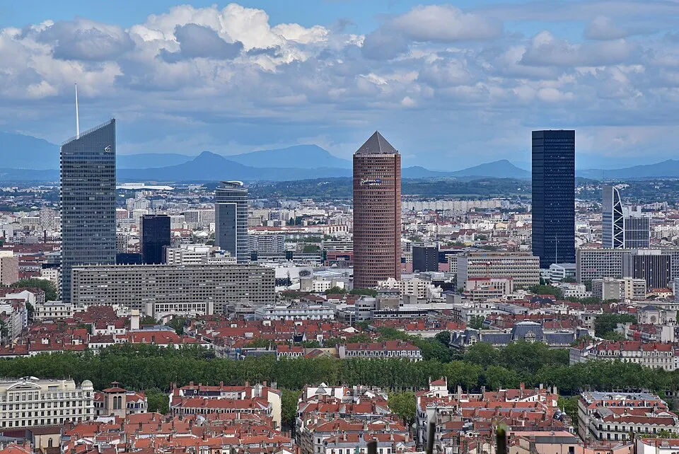
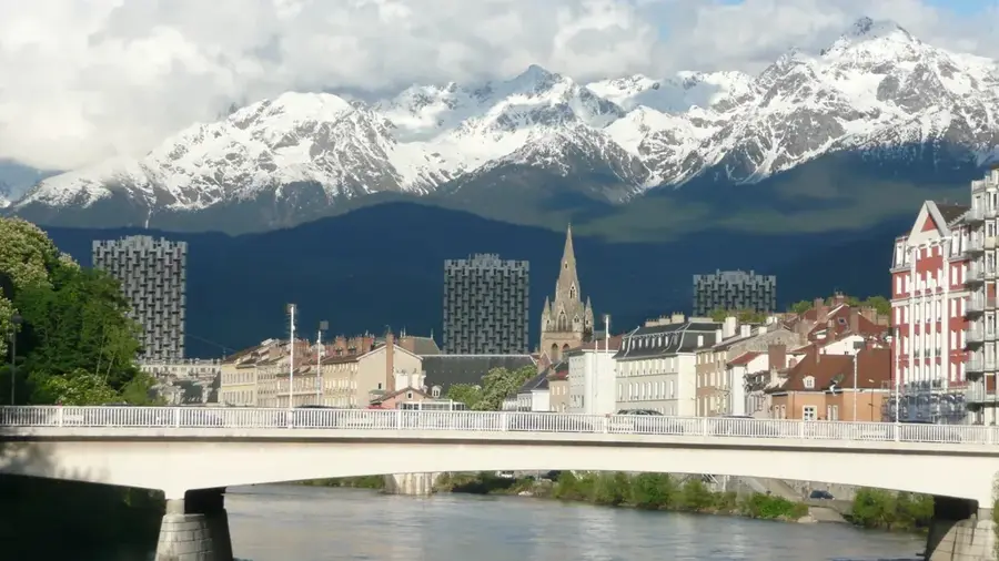
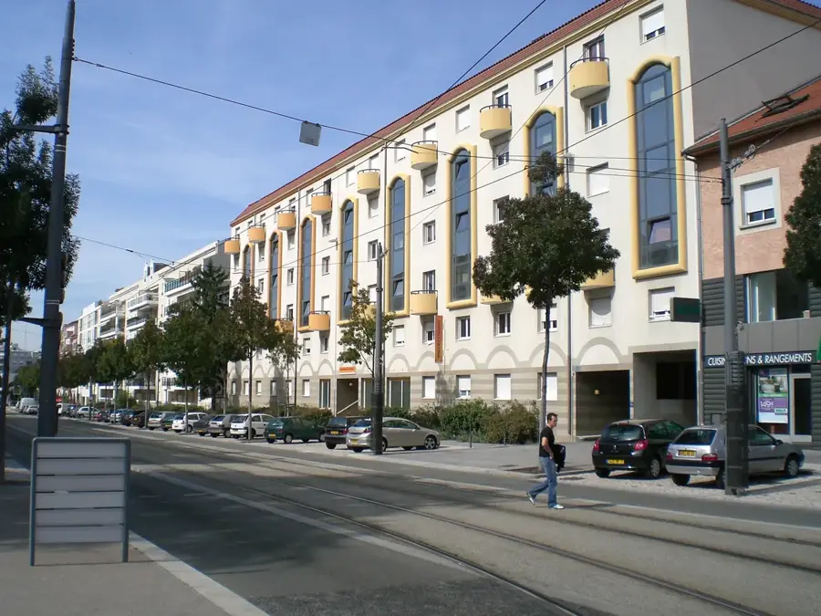
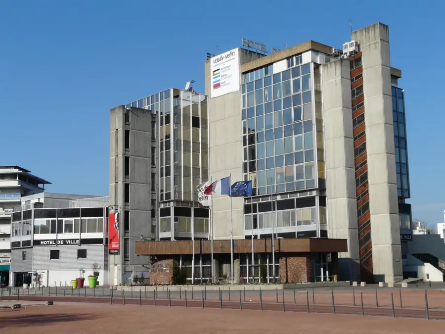
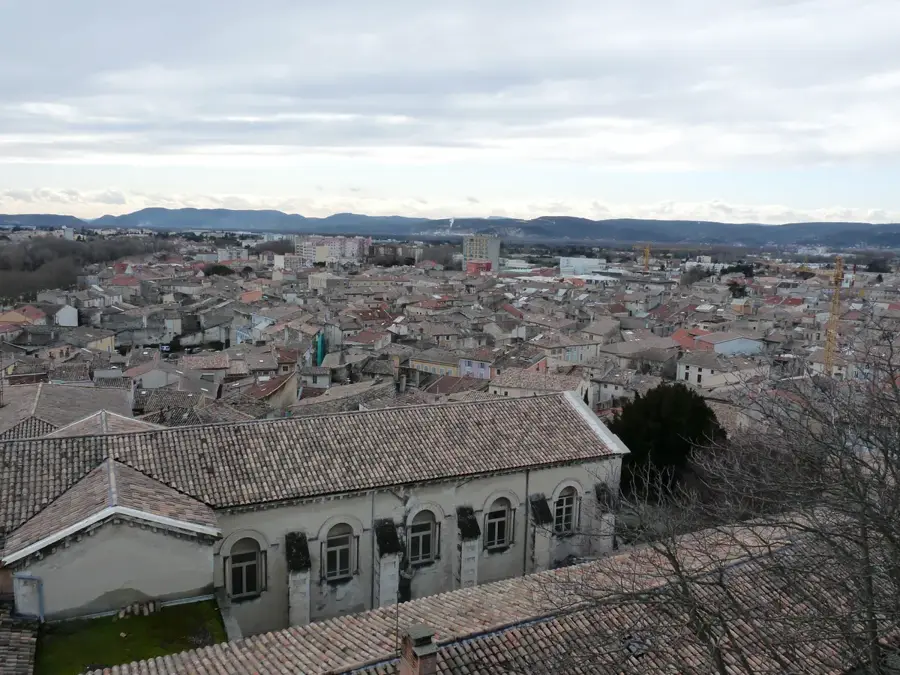
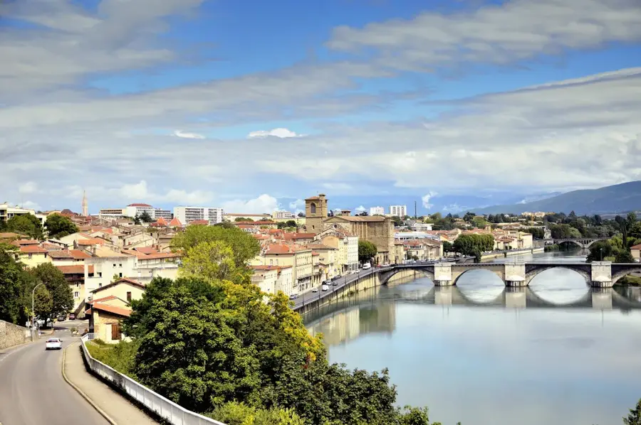
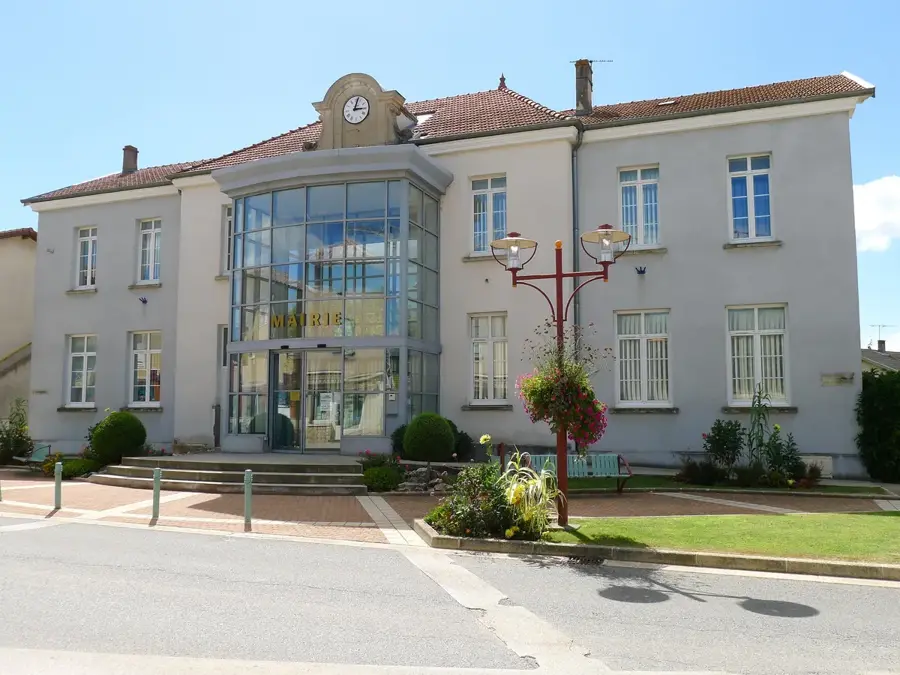
Chatuzange-le-Goubet is a flourishing municipality in the Drôme department of southeastern France, situated between Valence and Romans-sur-Isère. Formed by the union of two distinct villages, Chatuzange and Le Goubet, the commune has evolved into a key residential and economic hub within the Valence Romans Agglo. Its geography is marked by its location on the edge of the fertile Valence plain, with the dramatic limestone cliffs of the Vercors Massif providing a remarkable backdrop to the east. Historically an agricultural community focused on walnut orchards and cereal production, the town has seen significant industrial and commercial growth in recent decades due to its proximity to major highways. The local heritage is represented by landmarks such as the Saint-Sébastien church and traditional stone farmhouses. Chatuzange-le-Goubet has an excellent quality of life, balancing modern residential developments with ample green spaces and recreational facilities. It serves as a handy base for exploring the Vercors Regional Natural Park, offering residents and visitors easy access to world-class hiking, cycling, and winter sports while remaining close to urban amenities.
The most pleasant time to visit is Jun–Aug.
| Jan | Feb | Mar | Apr | May | Jun | Jul | Aug | Sep | Oct | Nov | Dec | |
|---|---|---|---|---|---|---|---|---|---|---|---|---|
| Avg °C | 2 | 3 | 7 | 11 | 15 | 19 | 22 | 21 | 17 | 12 | 7 | 3 |
| Rain mm | 54 | 46 | 53 | 62 | 78 | 57 | 54 | 56 | 69 | 92 | 101 | 60 |
Notable places around
Where do you start? We build the route here, with stops and country notes along the way.
© OpenStreetMap contributors · OpenRouteService