Plizio Visual Lab
Kvarken

Weather…
Water temperature…
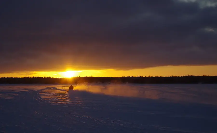
The Kvarken Archipelago on Finland's west coast has been a UNESCO World Heritage site since 2006, shared with Sweden's High Coast. The area is renowned for the world's fastest post-glacial land uplift, where the ground rises by approximately 8 to 9 millimeters annually. This geological phenomenon causes new islands to continuously emerge from the sea while bays gradually transform into inland lakes. The landscape is characterized by De Geer moraines, long and narrow ridges of rock formed during the retreat of glaciers around 10,000 years ago. The region spans over 194,000 hectares, the vast majority of which is marine area. For local flora and fauna, the constant habitat change requires continuous ecological adaptation. The Valsörarna lighthouse, designed by Gustave Eiffel's engineering firm, stands as a cultural landmark amidst this dynamic maritime environment.
- Location: Finland
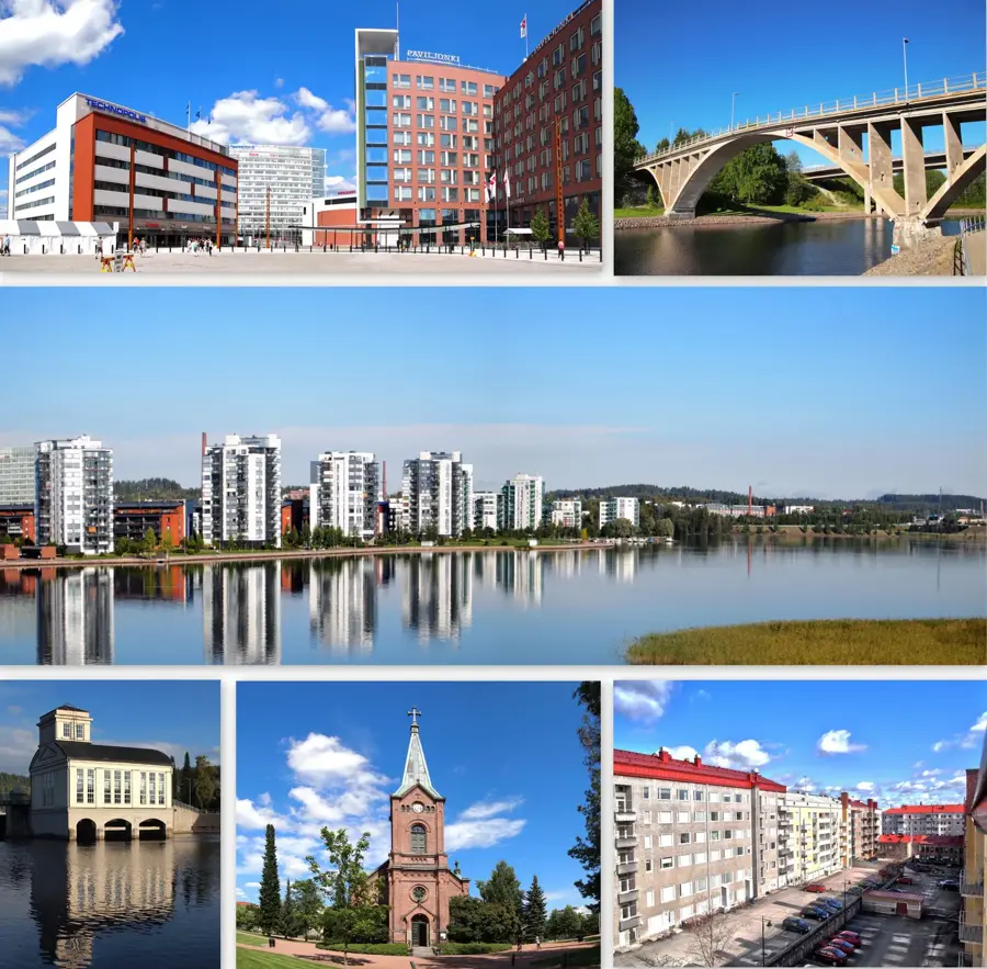
- Nearby: Björköby (5 km)
Best time to visit & climate
The most pleasant time to visit is Jul–Sep.
| Jan | Feb | Mar | Apr | May | Jun | Jul | Aug | Sep | Oct | Nov | Dec | |
|---|---|---|---|---|---|---|---|---|---|---|---|---|
| Avg °C | -3 | -5 | -3 | 1 | 6 | 11 | 15 | 16 | 12 | 7 | 3 | 0 |
| Rain mm | 52 | 39 | 37 | 40 | 57 | 47 | 63 | 72 | 68 | 77 | 68 | 59 |
📋 Practical info
Geography
Facts
- UNESCO Heritage since: 2006
- Land uplift rate: 8-9 mm per year
- Total area: approx. 194,400 hectares
- Main features: De Geer moraines
- Number of islands: approx. 5,600
- Valsörarna lighthouse designer: Gustave Eiffel's firm
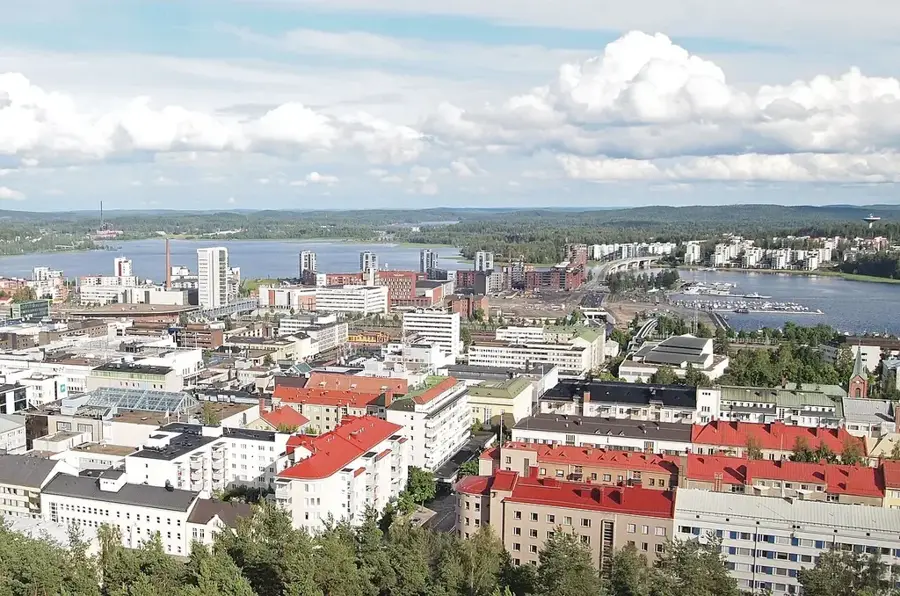
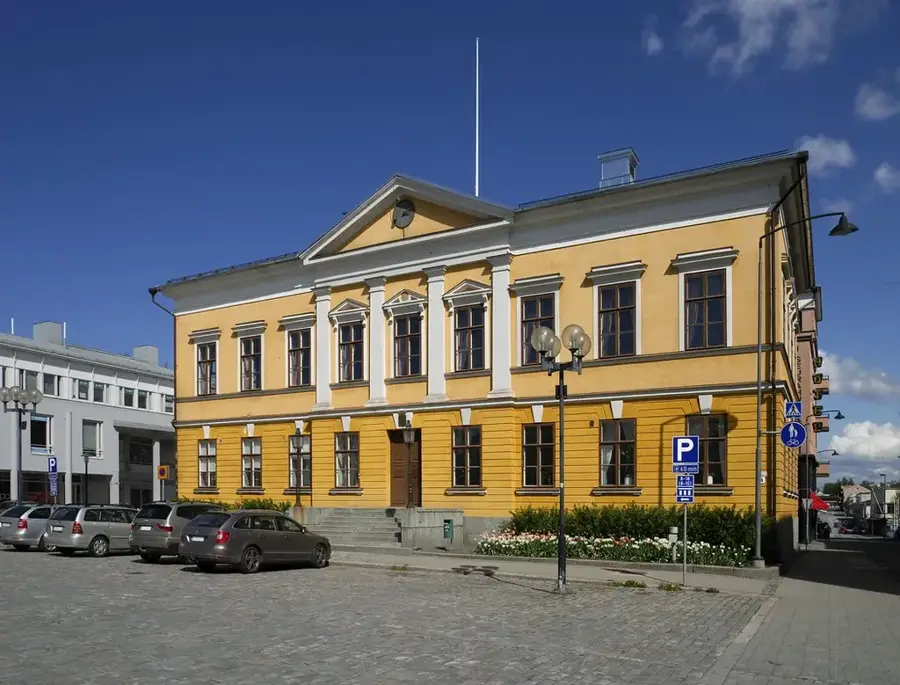
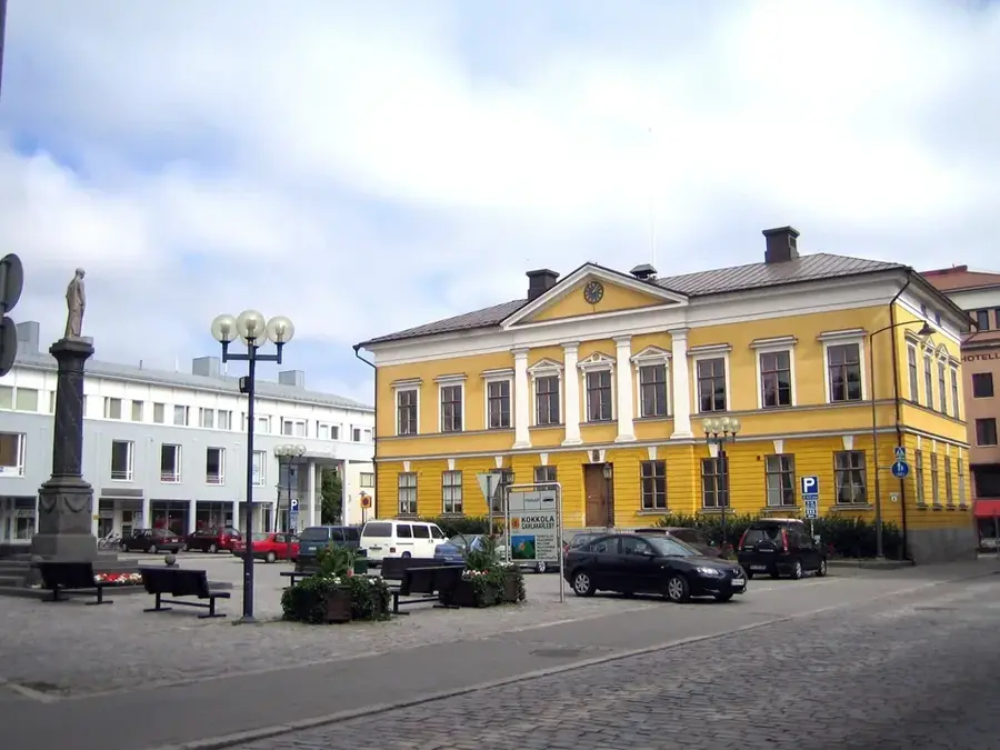
Explore nearby
Notable places around
Route planner — Car & Motorhome
Where do you start? We build the route here, with stops and country notes along the way.
© OpenStreetMap contributors · OpenRouteService
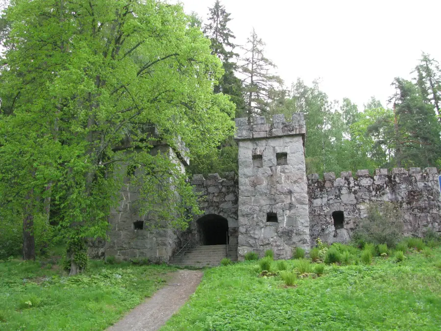
Sights nearby
Frequently asked questions
What is the Kvarken archipelago?
How fast is the land rising?
What are De Geer moraines?
Is there a bridge?
Can you see the land uplift phenomenon?
Kvarken: where is it located?
Kvarken: when is the best time to visit?
Kvarken: why is it worth visiting?

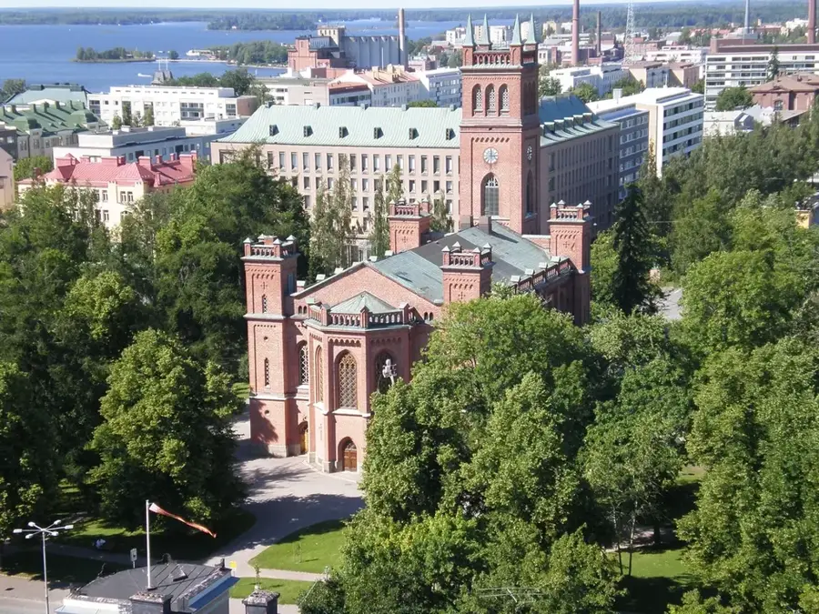
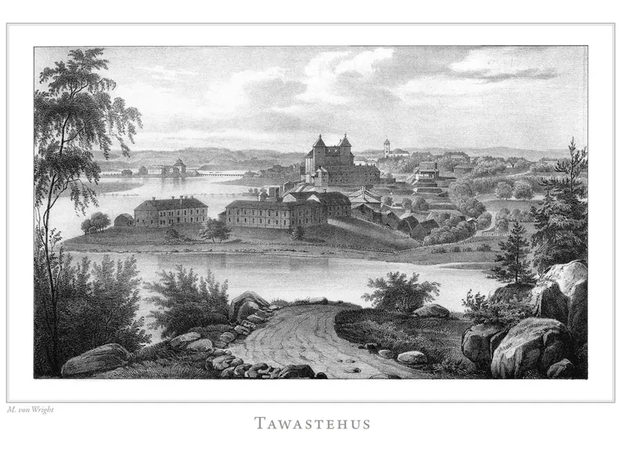
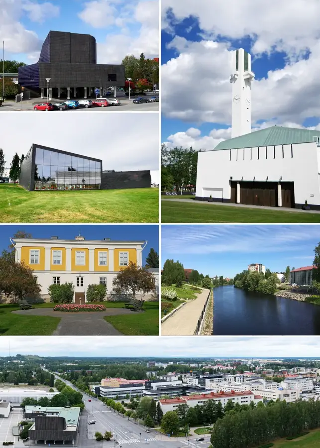
Nearby cities