Plizio Visual Lab
Brändö
ℹ️Practical info — Brändö
▾
🌤 Weather — 5 days
📍 Nearby
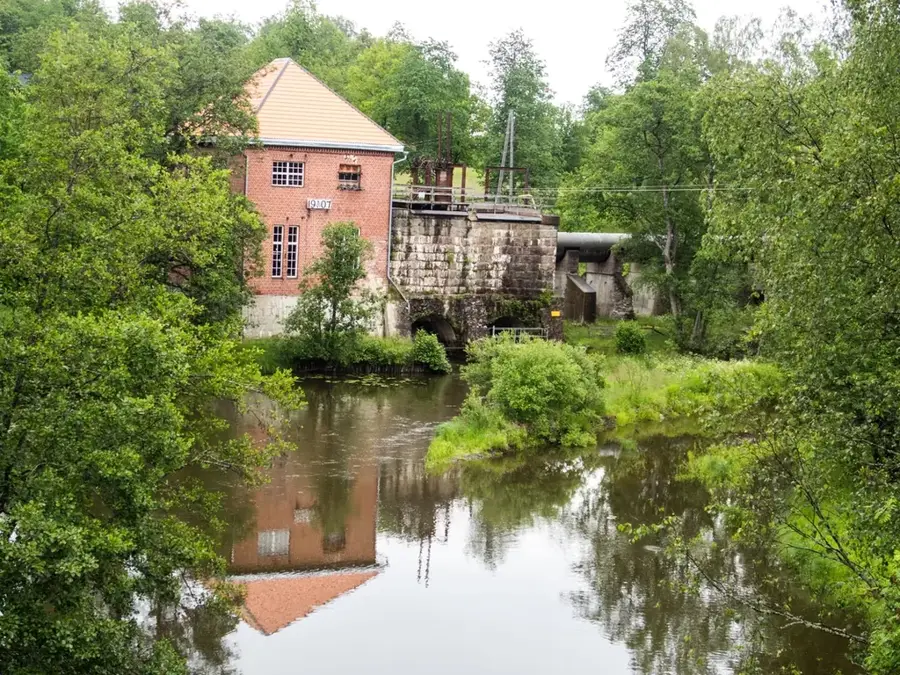
Sights nearby
💡 Tips
- Travel between the islands via the scenic archipelago ferries; check the Ålandstrafiken schedules in advance.
- Biking is the best way to explore the flat terrain and numerous bridges.
- Bring cash, as some smaller island vendors might not accept cards.
- Be prepared for rapidly changing coastal weather by dressing in layers.
- Ensure you book your accommodation early in the summer as island capacity is limited.
🍽 Food
A semolina or rice-based dessert you must try, served with plum jam and whipped cream at local guesthouses.
Pick up fresh smoked fish directly from local fishermen in the harbors.
Enjoy this dark, sweet malt bread, often served alongside fish dishes.
🛍 Shopping · 🧘 Quiet spots
Look for honesty-box roadside stalls selling local honey and fresh vegetables.
Find unique, sea-inspired souvenirs in the small summer shops of the villages.
Take a local ferry to this remote, peaceful island in Brändö where highland cattle roam.
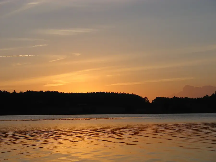
Find a secluded rock by the sea, listen to the waves, and watch the sunset over the Baltic Sea.
Water temperature…
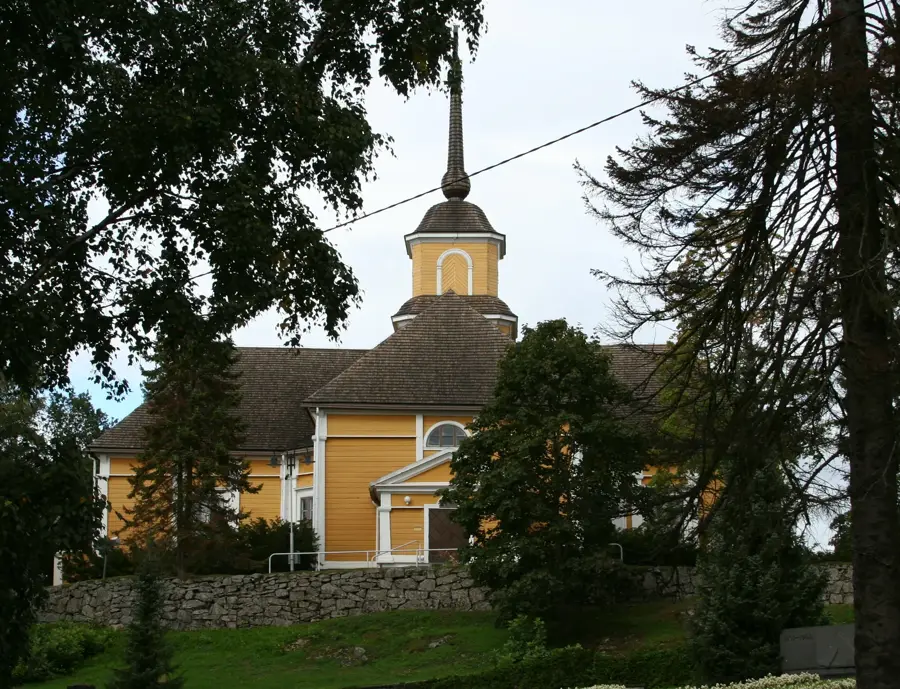
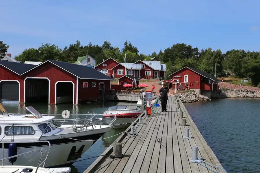
Brändö is an island municipality located in the northeastern part of the Åland Islands, consisting of a vast archipelago with thousands of islands and skerries. The municipality is strategically positioned between the Åland mainland and the Finnish mainland, maintaining close links with the Southwest Finland region via ferries and bridges. Historically, Brändö was a significant hub for fishing and maritime trade, which fundamentally shaped the development of its local settlements. The population is predominantly Swedish-speaking, reflecting the autonomous status of the Åland province. The landscape is defined by rugged granite rocks, coastal meadows, and a unique marine ecosystem, making it a key location for ecological tourism and birdwatching. Economically, fish farming has become a dominant industry alongside traditional fishing and tourism-related services. The local church, dedicated to Saint James, was originally built in the late 18th century and serves as a major cultural landmark. Despite its small population, Brändö maintains a sophisticated infrastructure to support its isolated island communities.
- Location: Finland
- Nearby: Iniö (19 km)
- Population: ~515 (2014)
Best time to visit & climate
The most pleasant time to visit is Jun–Aug.
| Jan | Feb | Mar | Apr | May | Jun | Jul | Aug | Sep | Oct | Nov | Dec | |
|---|---|---|---|---|---|---|---|---|---|---|---|---|
| Avg °C | -1 | -2 | -1 | 3 | 8 | 13 | 17 | 17 | 13 | 8 | 4 | 1 |
| Rain mm | 59 | 45 | 40 | 38 | 45 | 58 | 59 | 71 | 68 | 78 | 73 | 69 |
Geography
Facts
- Brändö comprises more than 1,200 islands and skerries.
- About 80% of the total area of the municipality is water.
- It is one of the easternmost municipalities in the Åland Islands.
- The wooden Church of Saint James was completed in 1793.
- Fish farming is the most significant economic industry in Brändö.
- Swedish is the primary language spoken by the vast majority of residents.
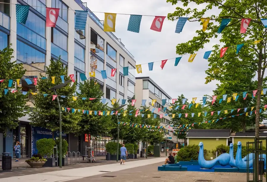
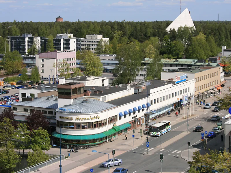
Explore nearby
Notable places around
Route planner — Car & Motorhome
Where do you start? We build the route here, with stops and country notes along the way.
© OpenStreetMap contributors · OpenRouteService
Sights in the town Brändö (1)
Frequently asked questions
Where is Brändö located?
How to get to Brändö?
Which activities are popular on the islands?
Is there accommodation on Brändö?
When is the best time to visit?
Brändö: where is it located?
Brändö: when is the best time to visit?
Brändö: why is it worth visiting?

Nearby cities