Plizio Visual Lab
Aegviidu Forest Area
Weather…
Water temperature…
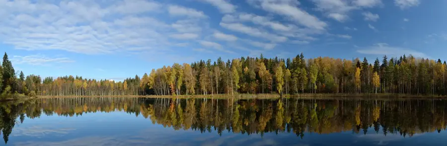
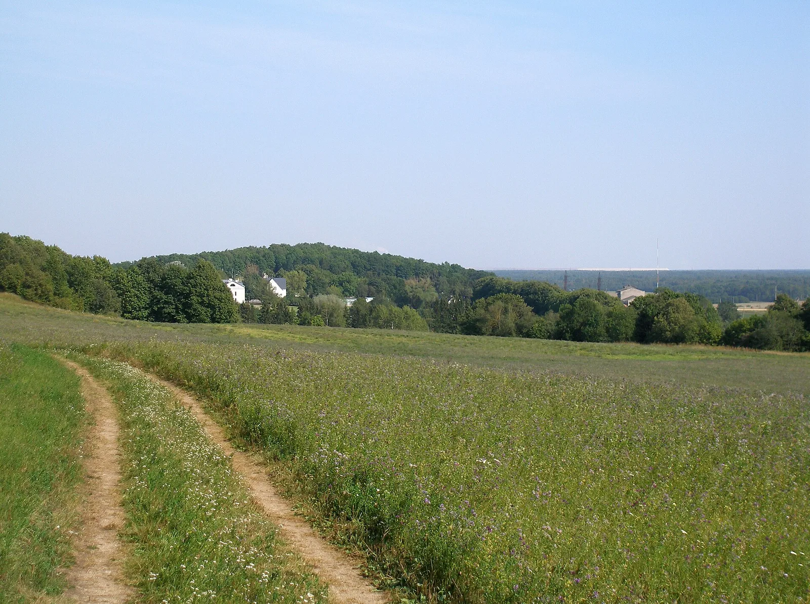
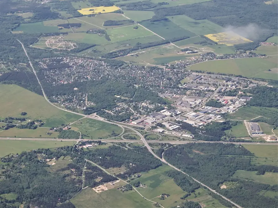
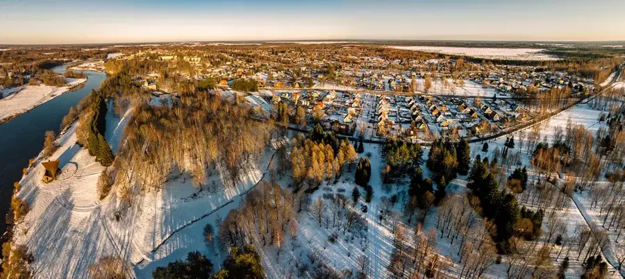
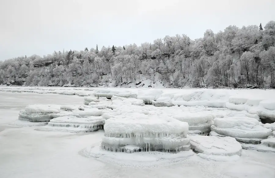
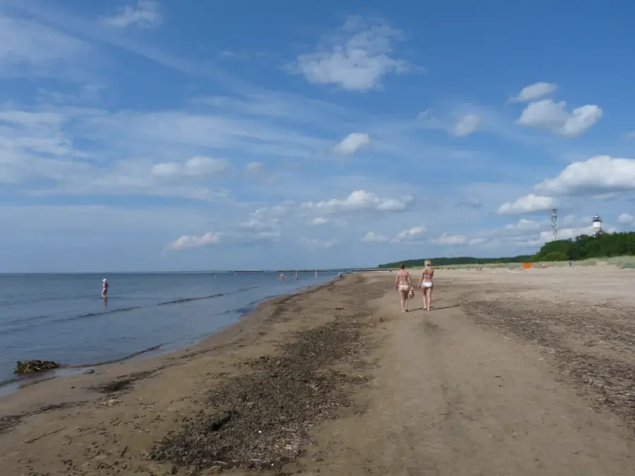
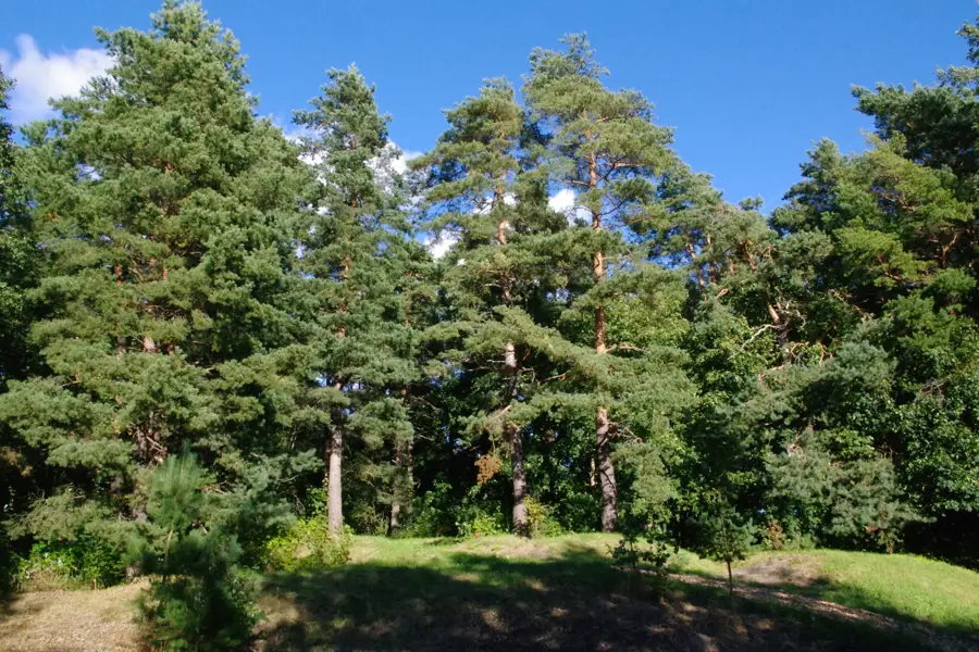
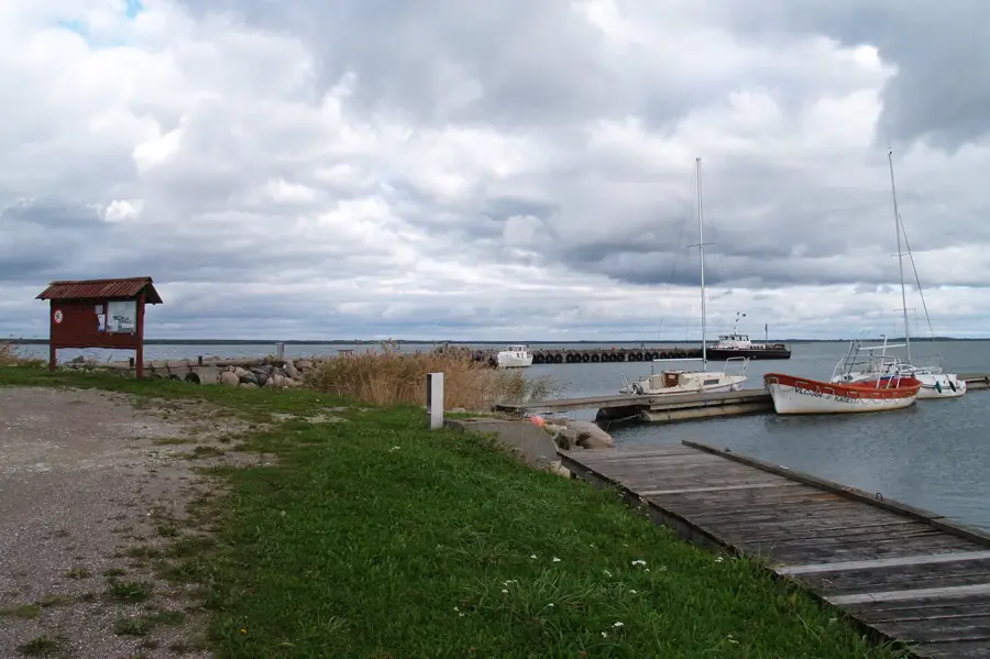
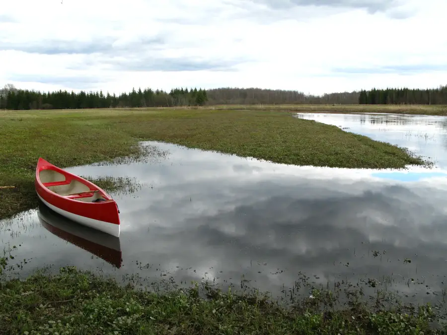
The Aegviidu forest area, located in northern Estonia, is widely regarded as the country's hiking capital. It forms part of the Kõrvemaa landscape, a region defined by its diverse terrain of dense forests, pristine bogs, and numerous glacial lakes. The area's topography was shaped during the last Ice Age, resulting in a series of prominent eskers and kames that break the horizon. Aegviidu serves as a primary hub for the State Forest Management Centre (RMK) long-distance hiking trails, which stretch across the entire nation. The forests are predominantly composed of pine and spruce, providing a secure habitat for large mammals like moose and lynx, as well as various bird species. Historically, the region gained popularity as a recreational resort in the early 20th century due to its natural beauty and railway accessibility.
- Location: Estonia
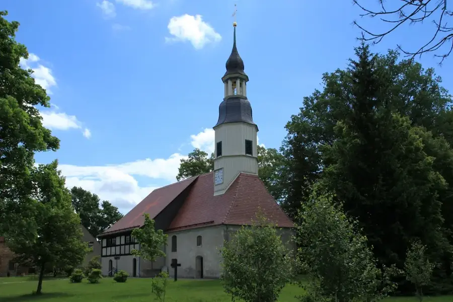
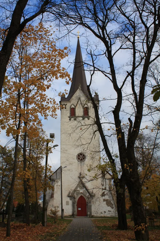
- Top sights: Nikerjärve supelrand · Purgatsi järve supelrand · Aegviidu Aleksandri kirik
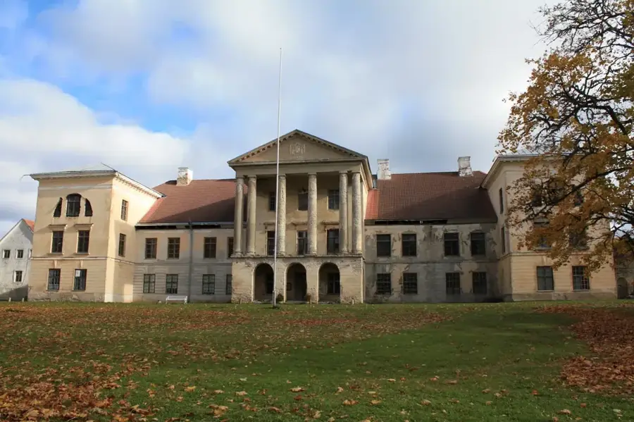
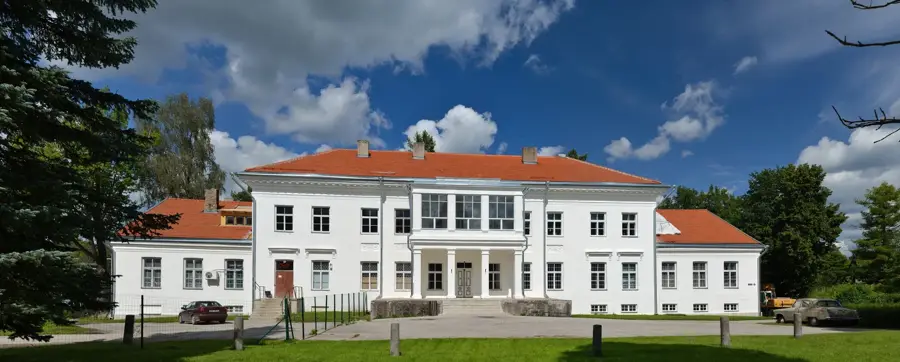
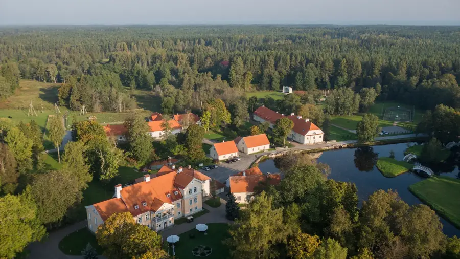
- Nearby: Vihula Manor (44 km)
Best time to visit & climate
The most pleasant time to visit is Jun–Aug.
| Jan | Feb | Mar | Apr | May | Jun | Jul | Aug | Sep | Oct | Nov | Dec | |
|---|---|---|---|---|---|---|---|---|---|---|---|---|
| Avg °C | -4 | -5 | -2 | 4 | 10 | 14 | 18 | 18 | 13 | 7 | 2 | -2 |
| Rain mm | 51 | 42 | 40 | 40 | 49 | 77 | 65 | 73 | 57 | 71 | 67 | 56 |
📋 Practical info
Geography
Facts
- Aegviidu is known as the hiking capital of Estonia
- Located within the 200-square-kilometer Kõrvemaa region
- The first RMK hiking trail was opened here in 1962
- The surrounding area contains over 100 lakes
- Important habitat for the rare Black Stork
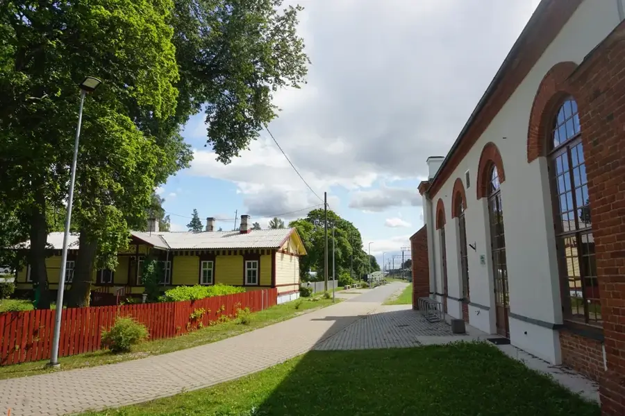
- The Tallinn-Narva railway line passes through the area
Explore nearby
Notable places around
Route planner — Car & Motorhome
Where do you start? We build the route here, with stops and country notes along the way.
© OpenStreetMap contributors · OpenRouteService
Sights in the town Aegviidu Forest Area (3)
Sights nearby
Frequently asked questions
What is Aegviidu known for?
Can you go there by train?
Are there lakes for swimming?
Is skiing possible?
Is there a visitor center?
Aegviidu Forest Area: where is it located?
Aegviidu Forest Area: what is there to see?
Aegviidu Forest Area: when is the best time to visit?
Aegviidu Forest Area: why is it worth visiting?

Nearby cities
History & landmarks
Nature
More places