Plizio Visual Lab
Jägala River
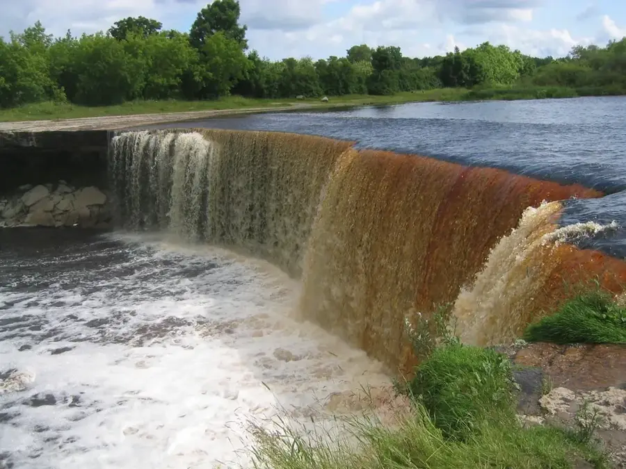
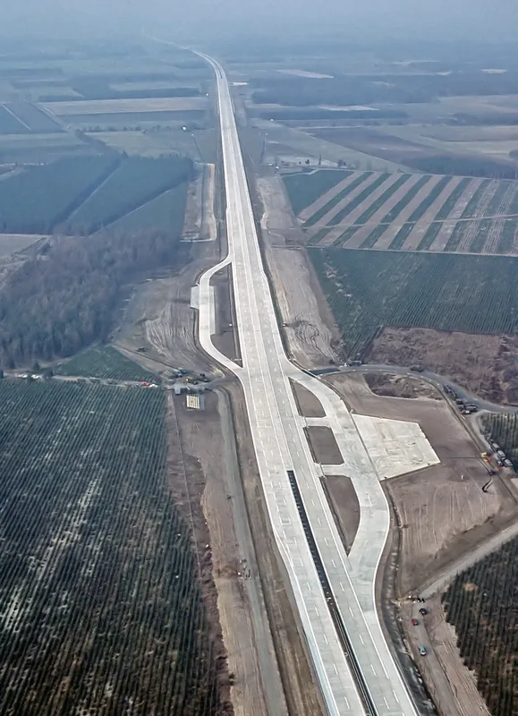
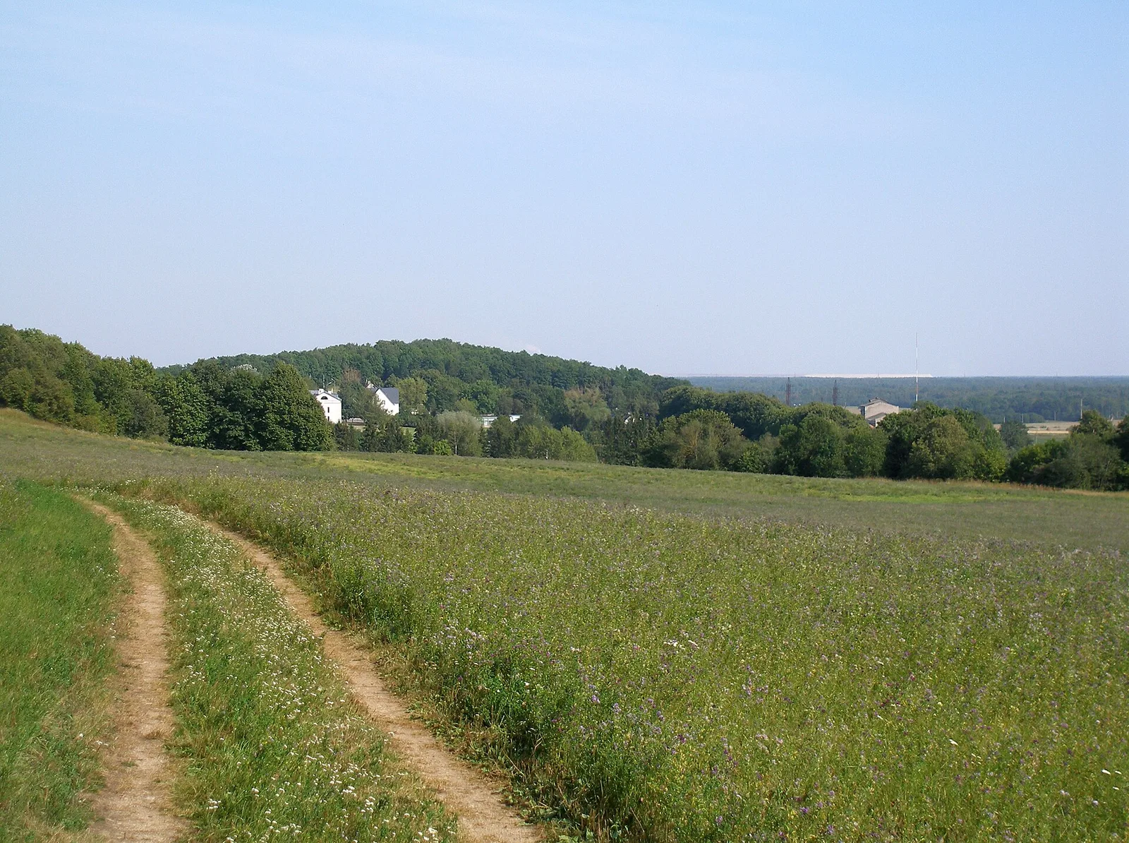
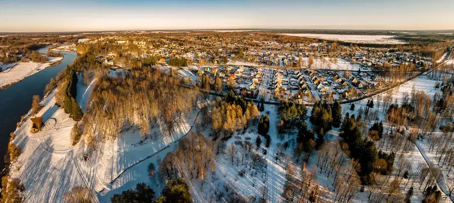
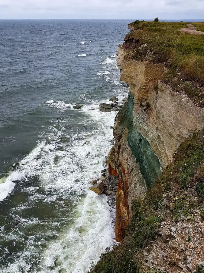
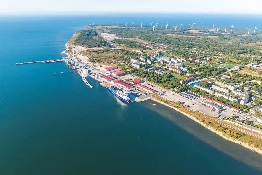
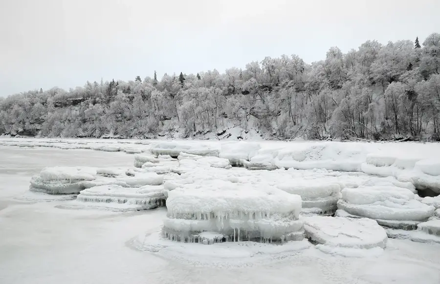
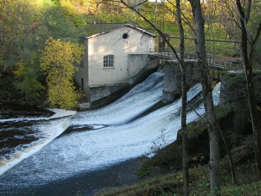
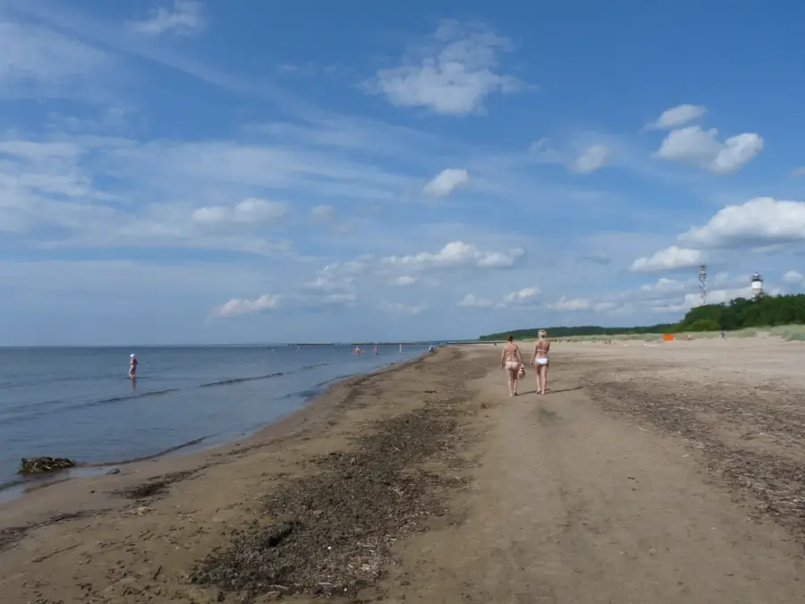
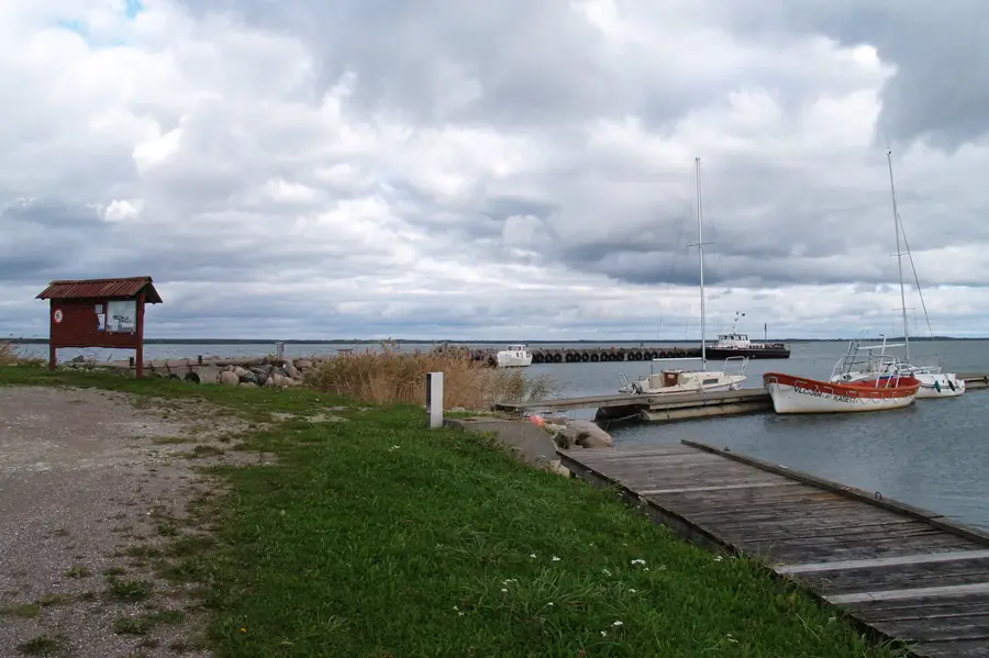
The Jägala River is best known for the Jägala Waterfall, the highest natural waterfall in Estonia, but the river itself features a varied landscape along its 97 kilometers. It originates in the Pandivere Upland and flows through northern Estonia before emptying into Ihasalu Bay in the Gulf of Finland. Over the millennia, the river has cut a deep limestone valley into the North Estonian Klint, which is particularly visible in the lower reaches. Historically, the river was of great importance for industry; as early as the 13th century, water mills were built here, and later pulp mills and power stations were established. The surroundings of the river are rich in archaeological sites, including ancient settlements and places of worship of the early Estonians. Today, the Jägala River is an important spawning ground for salmon and trout, which is why great efforts are being made to enable fish migration despite historical weirs.
- Location: Estonia
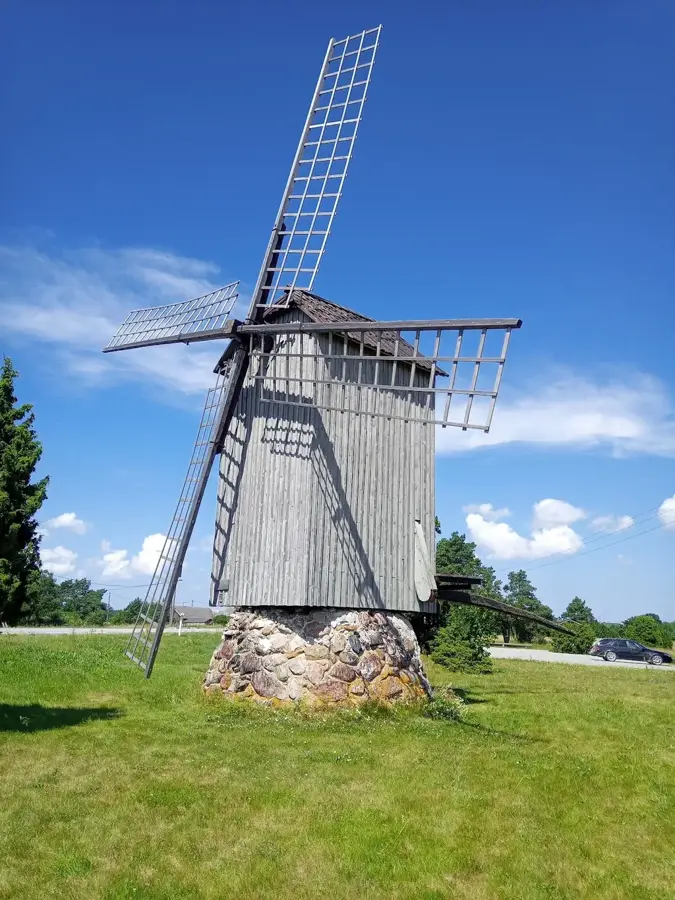
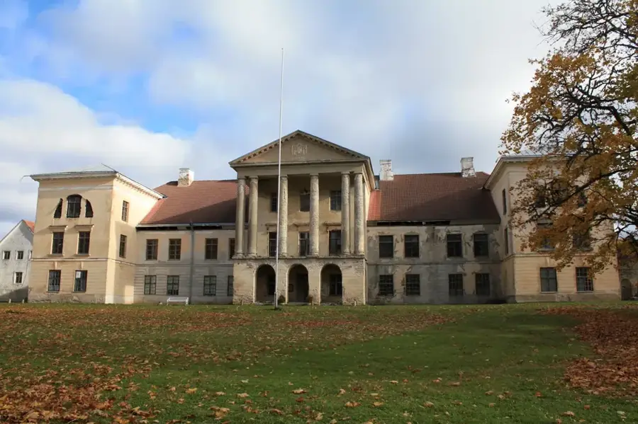
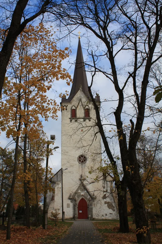
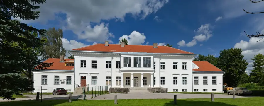
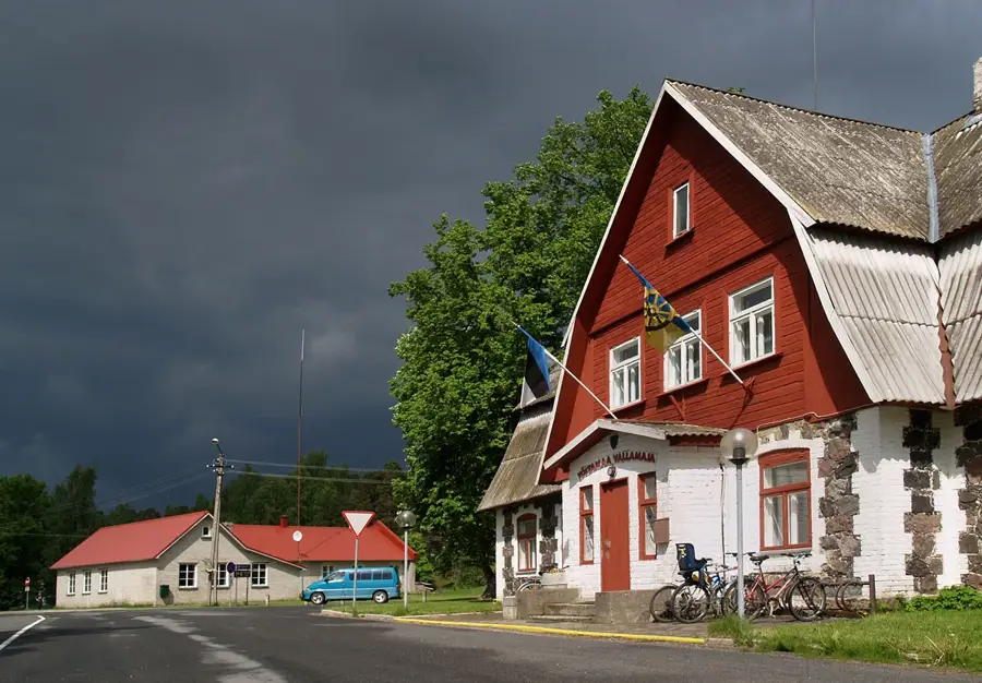
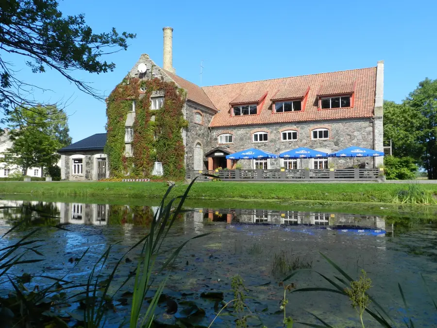
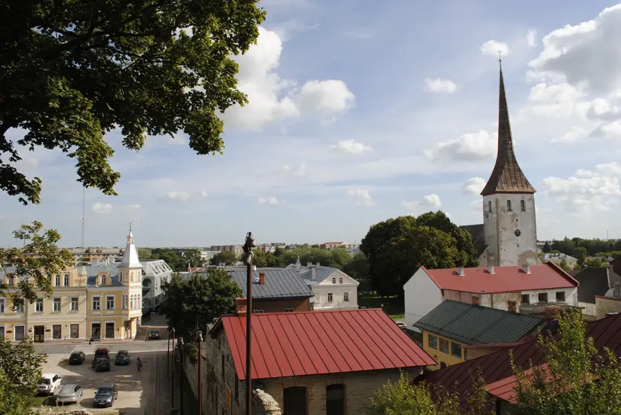
- Top sights: Pärnamäe hiis · Haljava mõisa peahoone · Harju-Jaani kirik
- Nearby: Kohila (37 km)
Best time to visit & climate
The most pleasant time to visit is Jun–Aug.
| Jan | Feb | Mar | Apr | May | Jun | Jul | Aug | Sep | Oct | Nov | Dec | |
|---|---|---|---|---|---|---|---|---|---|---|---|---|
| Avg °C | -4 | -5 | -2 | 4 | 10 | 14 | 18 | 18 | 13 | 7 | 3 | -1 |
| Rain mm | 52 | 42 | 40 | 40 | 48 | 72 | 65 | 72 | 57 | 71 | 68 | 57 |
📋 Practical info
Geography
Facts
- 97 kilometers total length
- Features an 8-meter high waterfall
- Flows into the Gulf of Finland
- Energy source since the Middle Ages
- Important salmon spawning ground
- Cuts through the limestone klint
Explore nearby
Notable places around
Route planner — Car & Motorhome
Where do you start? We build the route here, with stops and country notes along the way.
© OpenStreetMap contributors · OpenRouteService
Sights in the town Jägala River (3)
Sights nearby
Frequently asked questions
How high is Jägala Waterfall?
How far is the waterfall from Tallinn?
Can you go behind the waterfall?
Are there restaurants there?
Is it worth a visit in winter?
Jägala River: where is it located?
Jägala River: what is there to see?
Jägala River: when is the best time to visit?
Jägala River: why is it worth visiting?

Nearby cities
History & landmarks
More places