Plizio Visual Lab
Semien-Bahri Mountains
Weather…
Water temperature…
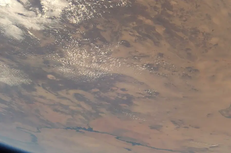
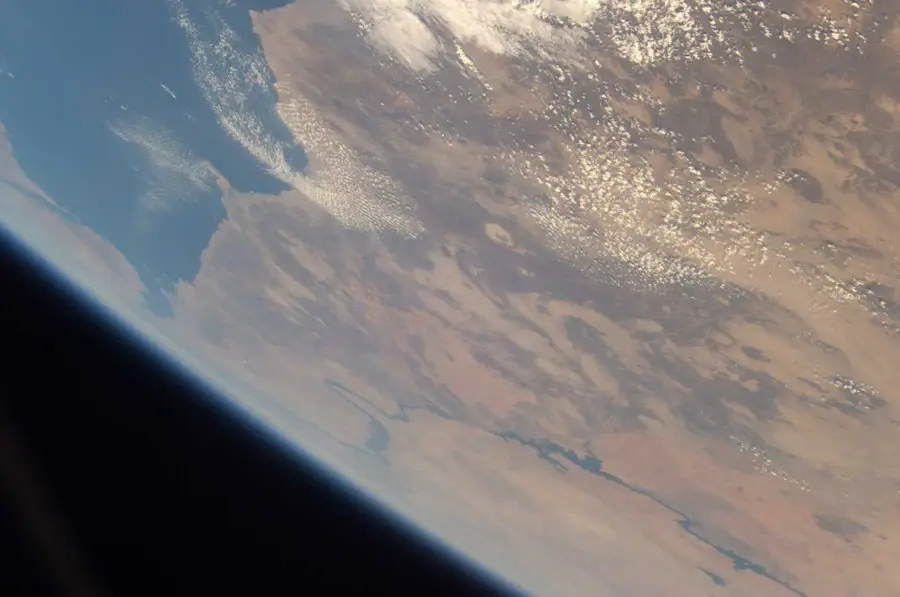
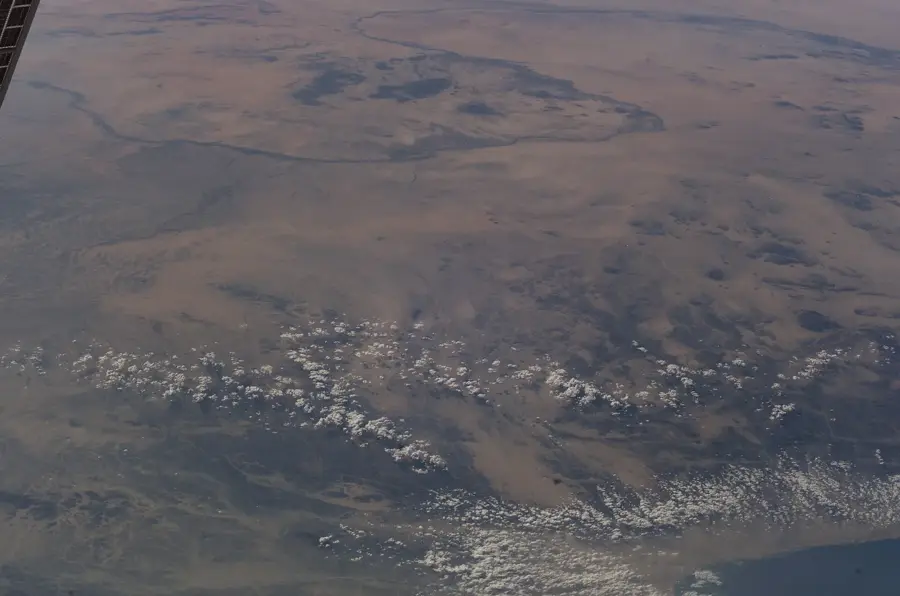
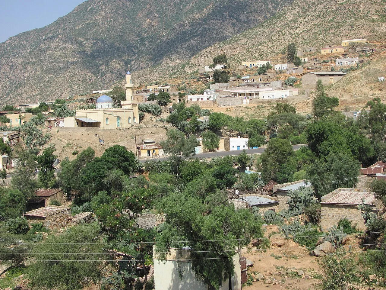
The Semien-Bahri Mountains, often referred to as Eritrea's Green Belt, form a spectacular escarpment dropping from the central highlands down to the Red Sea coastal plain. This region is unique in the country, receiving an exceptionally high amount of rainfall for Eritrean standards, up to 1,000 mm per year, due to orographic lift and frequent mist formation. The landscape is defined by dense cloud forests where juniper, wild olive trees, and various ferns flourish. Geologically, the escarpment consists of Precambrian metamorphic rocks exposed by the tectonic uplift of the plateau. Historically, the region served as a sanctuary for endangered wildlife and a center for coffee cultivation. The Semien-Bahri Mountains function as a vital watershed, feeding numerous streams that irrigate the agricultural lands below. The flora and fauna of this region host many endemic species, making it one of Eritrea's most critical ecological conservation areas.
- Location: Eritrea
- Nearby: Mendefera (42 km)
Best time to visit & climate
The most pleasant time to visit is Feb, Oct, Nov.
| Jan | Feb | Mar | Apr | May | Jun | Jul | Aug | Sep | Oct | Nov | Dec | |
|---|---|---|---|---|---|---|---|---|---|---|---|---|
| Avg °C | 19 | 21 | 23 | 24 | 25 | 24 | 21 | 20 | 21 | 21 | 20 | 19 |
| Rain mm | 3 | 6 | 9 | 27 | 26 | 41 | 143 | 162 | 42 | 13 | 5 | 4 |
📋 Practical info
Geography
Facts
- The region receives the highest annual rainfall amounts in all of Eritrea.
- The mountains host some of the last tropical cloud forests in the Horn of Africa.
- The elevation drops sharply from over 2,000 to 500 meters within a short distance.
- Specific tree species like the African Juniper (Juniperus procera) are indigenous here.
- Mist formation occurs most frequently during the winter rainy season.
- The area serves as a critical sanctuary for rare birds and primate species.
Explore nearby
Notable places around
Route planner — Car & Motorhome
Where do you start? We build the route here, with stops and country notes along the way.
© OpenStreetMap contributors · OpenRouteService
Sights nearby
Frequently asked questions
What are the Semien-Bahri mountains?
Is it suitable for hiking?
When to visit?
Do I need a guide?
Is there camping?
Semien-Bahri Mountains: where is it located?
Semien-Bahri Mountains: when is the best time to visit?
Semien-Bahri Mountains: why is it worth visiting?

Nearby cities
History & landmarks
More places