Plizio Visual Lab
San Pedro Plain

Weather…
Water temperature…
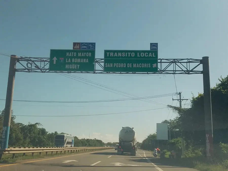
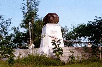
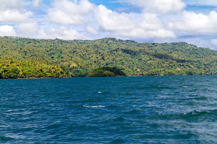
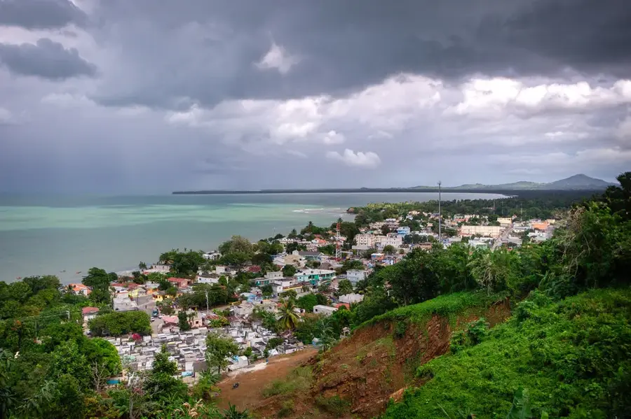
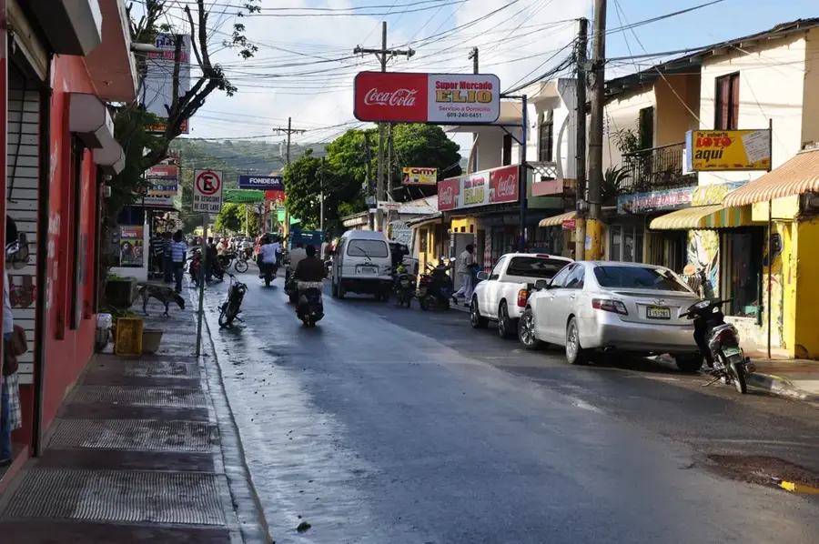
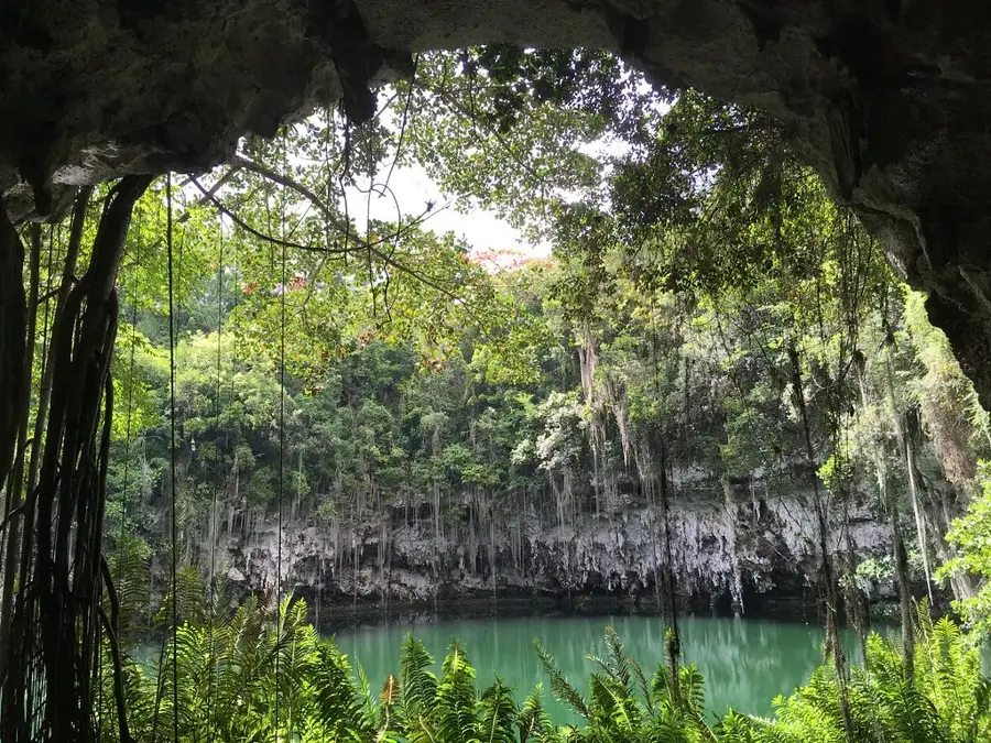
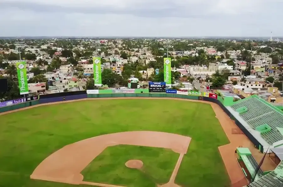
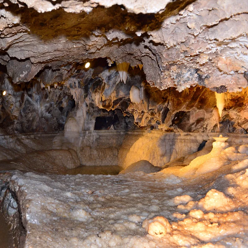
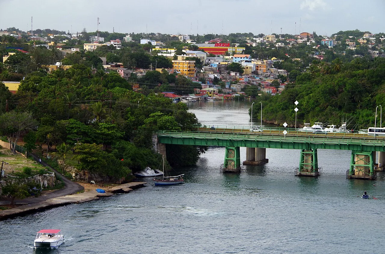
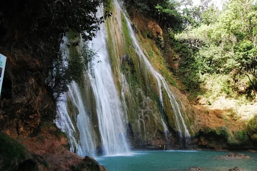
The San Pedro Plain, also known as part of the Caribbean Coastal Plain (Llanura Costera del Caribe), stretches along the southern coast of the Dominican Republic in the San Pedro de Macorís province. Geologically, this vast plain is characterized by coralline limestone that emerged during the Pleistocene epoch as sea levels receded. The topography is remarkably flat, making it one of the most important centers for the country's sugarcane industry. Numerous historic sugar mills, known as 'ingenios,' have shaped the landscape and the region's economy since the late 19th century. In addition to sugarcane, the plain is extensively used for cattle ranching. Several major rivers, including the Rio Higüamo and the Rio Soco, flow across the plain into the Caribbean Sea. The region also features impressive cave systems, such as the Cueva de las Maravillas, which contains significant Taíno rock art.
- Location: Dominican Republic
- Nearby: Juan Dolio (14 km)
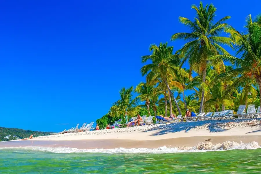
Best time to visit & climate
The most pleasant time to visit is Jan–Mar.
| Jan | Feb | Mar | Apr | May | Jun | Jul | Aug | Sep | Oct | Nov | Dec | |
|---|---|---|---|---|---|---|---|---|---|---|---|---|
| Avg °C | 25 | 26 | 26 | 27 | 28 | 28 | 28 | 29 | 28 | 28 | 27 | 26 |
| Rain mm | 31 | 24 | 22 | 41 | 72 | 48 | 58 | 64 | 67 | 61 | 73 | 43 |
📋 Practical info
Geography
Facts
- Core region for the Dominican sugar industry.
- Composed of coralline limestone from the Pleistocene.
- Home to the famous Cueva de las Maravillas cave system.
- Drained by the Higüamo and Soco rivers.
- Key area for cattle ranching on the southeastern coast.
- San Pedro de Macorís, the provincial capital, is located here.
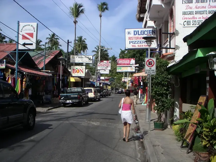
Explore nearby
Notable places around
Route planner — Car & Motorhome
Where do you start? We build the route here, with stops and country notes along the way.
© OpenStreetMap contributors · OpenRouteService
Sights nearby
Frequently asked questions
What is grown in the San Pedro Plain?
Is the plain developed for tourism?
What is the terrain like?
Are there rivers nearby?
When should you visit the plain?
San Pedro Plain: where is it located?
San Pedro Plain: when is the best time to visit?
San Pedro Plain: why is it worth visiting?

Nearby cities
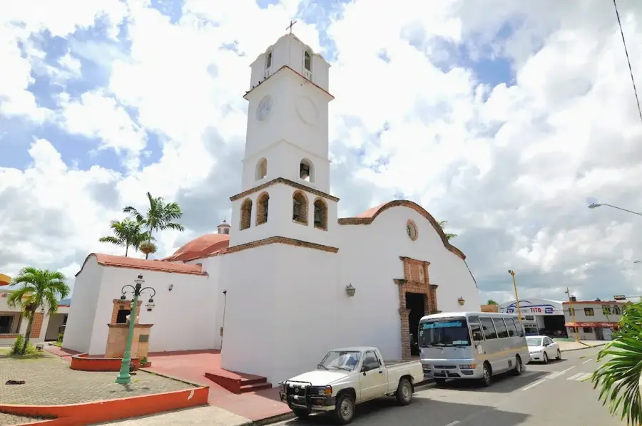
History & landmarks
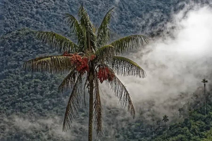
Nature

More places