Plizio Visual Lab
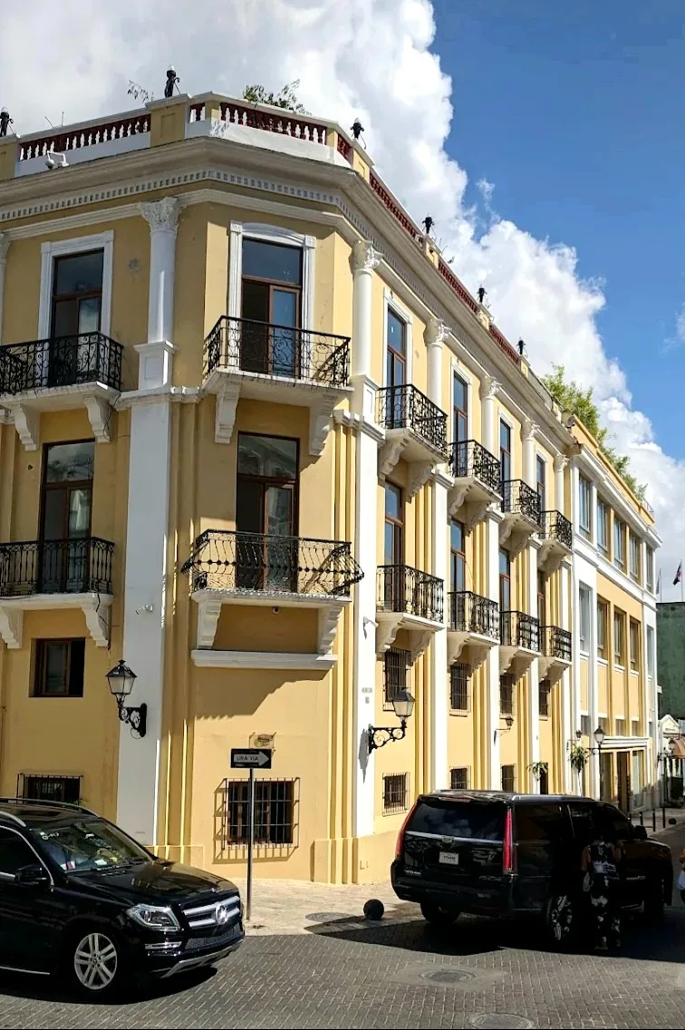
Port of San Pedro de Macorís

Weather…
Water temperature…
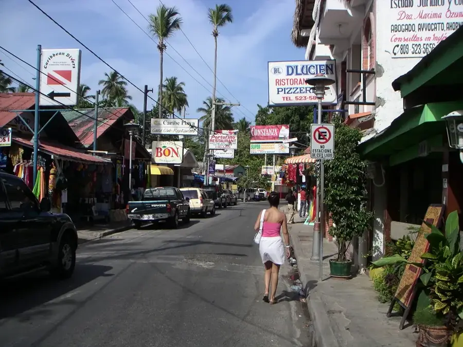
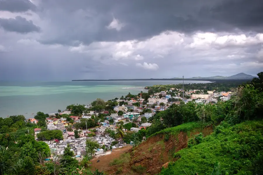
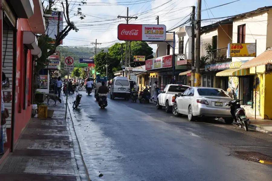
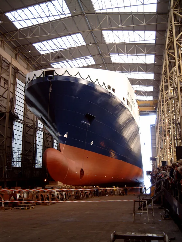
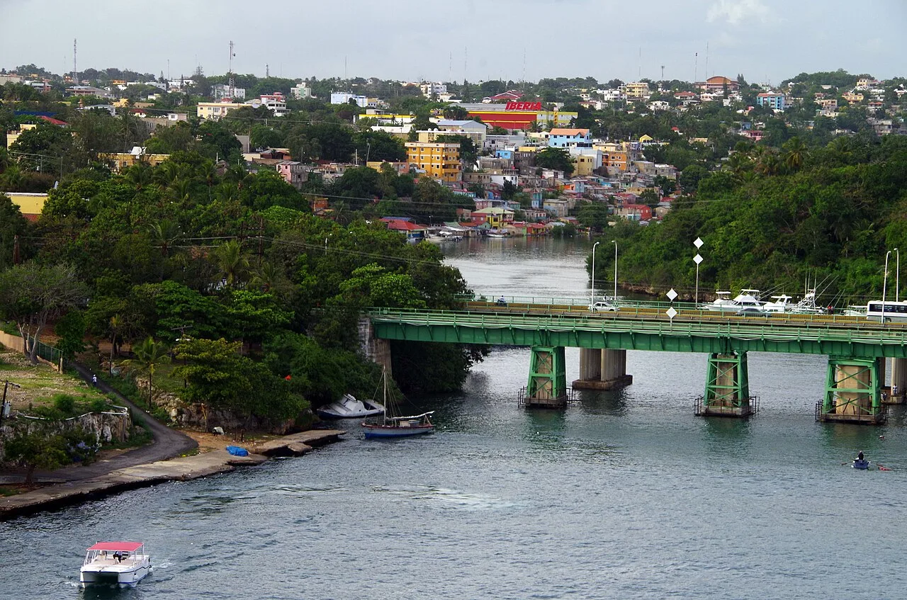
The Port of San Pedro de Macorís is situated at the mouth of the Higuamo River on the southeastern coast of the Dominican Republic. Historically, this maritime terminal played a pivotal role during the late 19th and early 20th centuries, serving as the primary exit point for the nation's burgeoning sugar industry, which earned the city the nickname "The Sultan of the East." In the modern era, the port has diversified its operations and currently handles a significant volume of bulk cargo, including cement, clinker, fertilizers, and petroleum products. The infrastructure includes several wharves that accommodate medium-sized vessels, facilitating trade for the surrounding industrial free zones and the large Cemex cement plant nearby. Its strategic location near the capital, Santo Domingo, and the eastern tourist corridors makes it a vital logistics hub for the regional economy. The port's development is closely linked to the industrialization of the San Pedro province, maintaining its relevance through the export of manufactured goods and the import of essential raw materials.
- Location: Dominican Republic
- Top sights: Estadio Tetelo Vargas · Universidad Central del Este · San Pedro de Macorís
- Nearby: Hato Mayor del Rey (13 km)
Best time to visit & climate
The most pleasant time to visit is Jan–Mar.
| Jan | Feb | Mar | Apr | May | Jun | Jul | Aug | Sep | Oct | Nov | Dec | |
|---|---|---|---|---|---|---|---|---|---|---|---|---|
| Avg °C | 25 | 26 | 26 | 27 | 28 | 28 | 28 | 29 | 28 | 28 | 27 | 26 |
| Rain mm | 31 | 24 | 22 | 41 | 72 | 48 | 58 | 64 | 67 | 61 | 73 | 43 |
📋 Practical info
Geography
Facts
- The port is located at one of the deepest estuaries in the country on the Higuamo River.
- In the early 20th century, it was the most important export port for cane sugar.
- The facility has a total wharf length of over 500 meters.
- It serves as the primary terminal for the largest cement plant in the Caribbean.
- The port is managed by the state port authority, APORDOM.
- Regular shipments of liquid fuel supply local power generation plants.
Explore nearby
Notable places around
Route planner — Car & Motorhome
Where do you start? We build the route here, with stops and country notes along the way.
© OpenStreetMap contributors · OpenRouteService
Sights in the town Port of San Pedro de Macorís (3)
Sights nearby
Frequently asked questions
What is the Port of San Pedro de Macorís known for?
Where exactly is the port located?
What are the floating power plants?
Are there museums nearby?
Can you book fishing tours?
Port of San Pedro de Macorís: where is it located?
Port of San Pedro de Macorís: what is there to see?
Port of San Pedro de Macorís: when is the best time to visit?
Port of San Pedro de Macorís: why is it worth visiting?

Nearby cities
History & landmarks

Nature

More places