Plizio Visual Lab
Yoboki
ℹ️Practical info — Yoboki
▾
🌤 Weather — 5 days
📍 Nearby
Sights nearby
💡 Tips
- The climate is extremely hot and dry; always carry plenty of water.
- The town is a transit hub for travel to Ethiopia, with basic infrastructure.
- Always ask for permission before taking photographs of locals or buildings.
- Options for accommodation and dining are very basic.
🍽 Food
A Somali rice and meat dish offered in transit eateries.
Available at small roadside stalls along the main route.
🛍 Shopping · 🧘 Quiet spots
The best place to stock up on travel supplies and snacks.
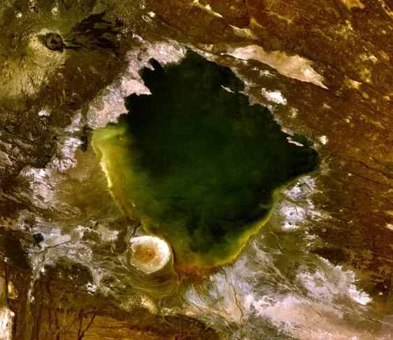
Experience the vast, silent landscapes just beyond the settlement.
Water temperature…
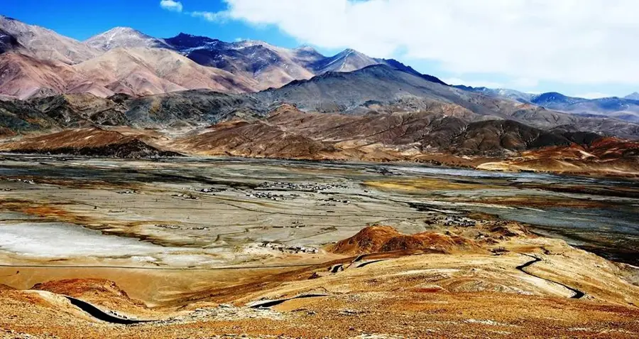
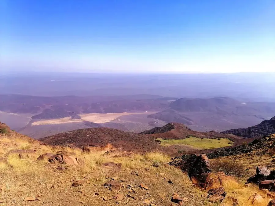
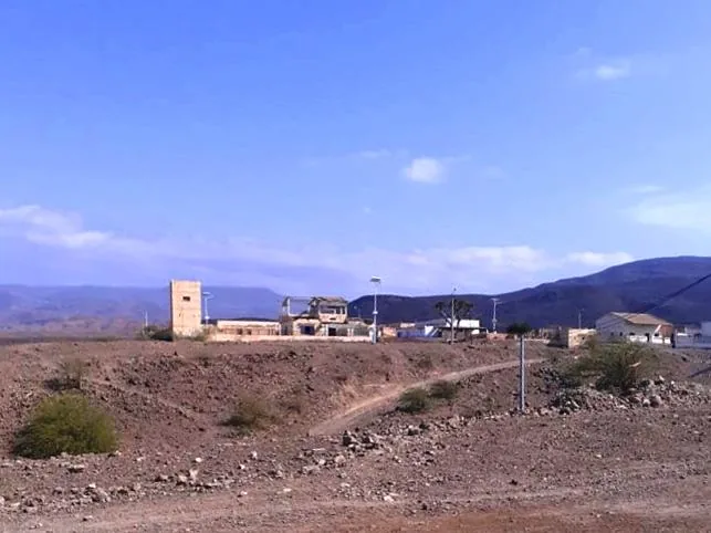
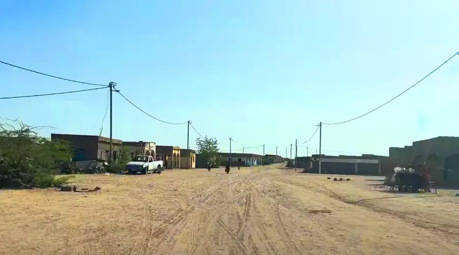
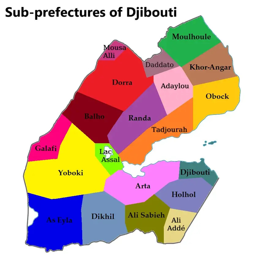
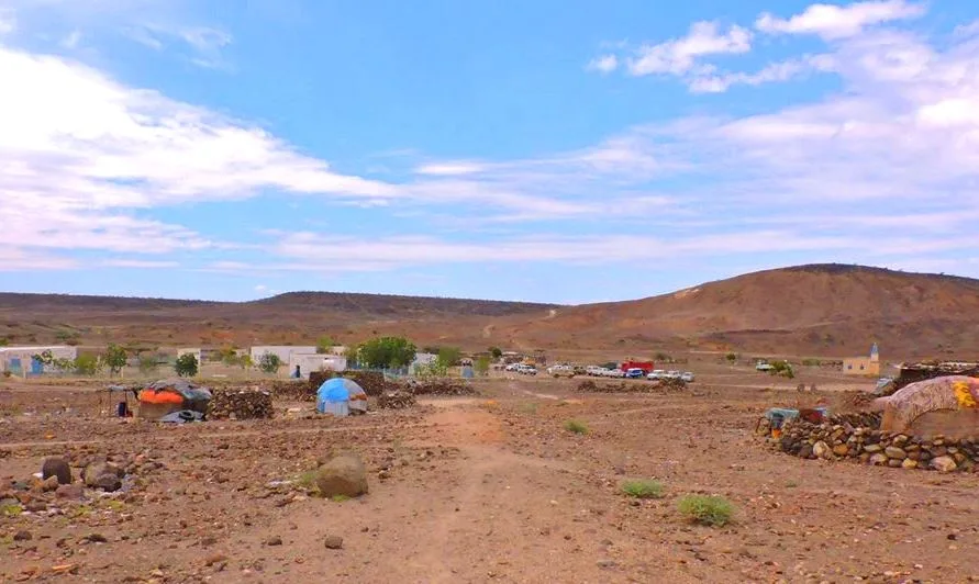
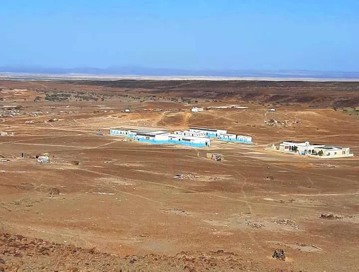
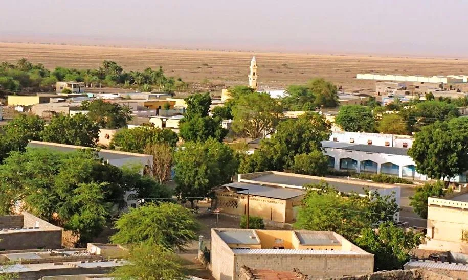
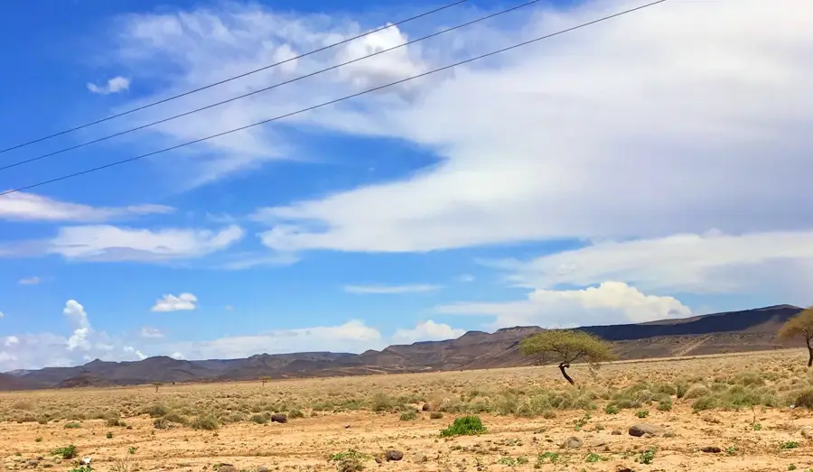
Yoboki is a town in the Dikhil Region of western Djibouti, close to the border with Ethiopia. It is situated in one of the driest and hottest areas of the country, characterized by a stark, desert-like landscape. Despite the harsh climate, Yoboki holds strategic importance as a major transportation junction. The town lies at the intersection of roads connecting the capital, Djibouti City, to the Ethiopian border at Galafi and to the Tadjoura Region in the north. This position makes it a vital stopping point for travelers and truck drivers. The population is predominantly composed of Afar pastoralists, whose livelihoods traditionally depend on raising livestock, particularly goats and camels. The social structure is heavily shaped by clan traditions. The town has basic services such as a school, a health clinic, and a few small shops that cater to the local population and those in transit. Water is a scarce and precious resource, primarily sourced from deep boreholes.
- Location: Djibouti
- Nearby: Gaggade (9 km)
- Population: ~3.147 (2025)
Best time to visit & climate
The most pleasant time to visit is Jan, Feb, Dec.
| Jan | Feb | Mar | Apr | May | Jun | Jul | Aug | Sep | Oct | Nov | Dec | |
|---|---|---|---|---|---|---|---|---|---|---|---|---|
| Avg °C | 24 | 26 | 28 | 29 | 32 | 35 | 34 | 32 | 32 | 29 | 26 | 25 |
| Rain mm | 5 | 7 | 24 | 51 | 28 | 8 | 45 | 66 | 39 | 13 | 7 | 10 |
Geography
Facts
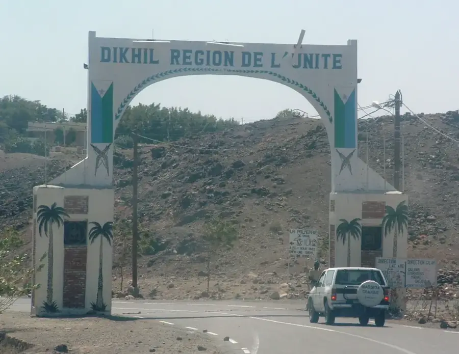
- Located in the Dikhil Region, near the border with Ethiopia.
- An important transportation hub on the N1 National Road.
- The population is estimated to be around 800-1,000 people.
- Predominantly inhabited by the Afar ethnic group.
- The climate is arid with extremely high temperatures.
- The name 'Yoboki' means 'place of the hyenas' in the Afar language.
Explore nearby
Notable places around
Route planner — Car & Motorhome
Where do you start? We build the route here, with stops and country notes along the way.
© OpenStreetMap contributors · OpenRouteService
Sights in the town Yoboki (1)
Frequently asked questions
Why visit Yoboki?
Do you need a special car for Yoboki?
What can you eat there?
What is the weather like in Yoboki?
Are there accommodations in Yoboki?
Yoboki: where is it located?
Yoboki: when is the best time to visit?
Yoboki: why is it worth visiting?

Nearby cities


History & landmarks
Nature
More places