Plizio Visual Lab
Hanle Depression
Weather…
Water temperature…
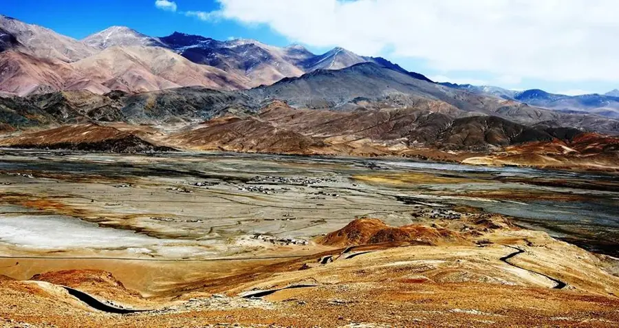
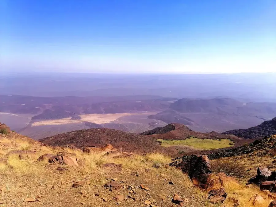
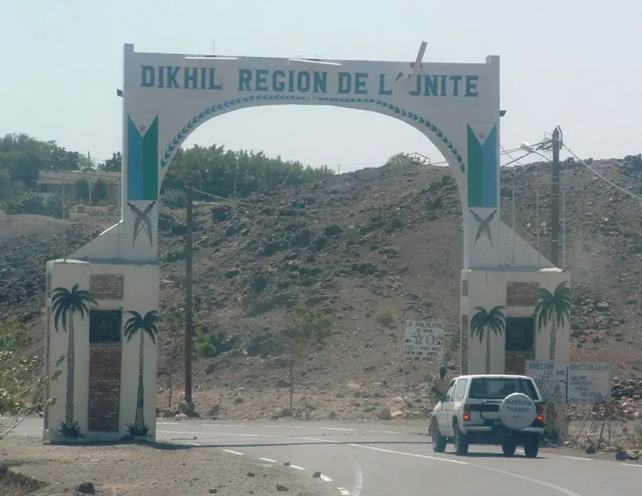
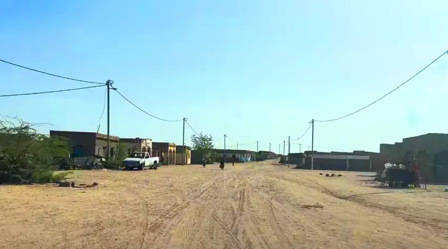
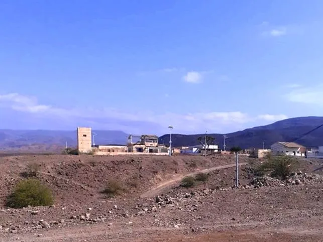
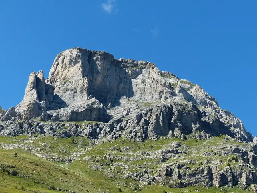
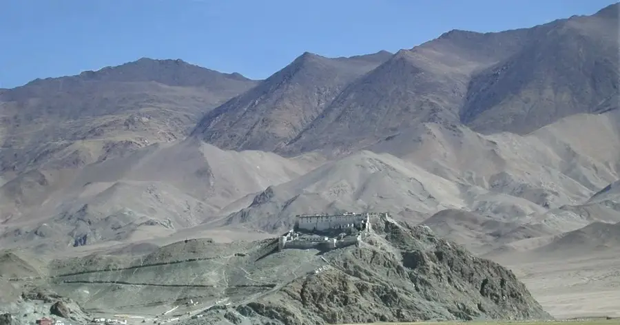
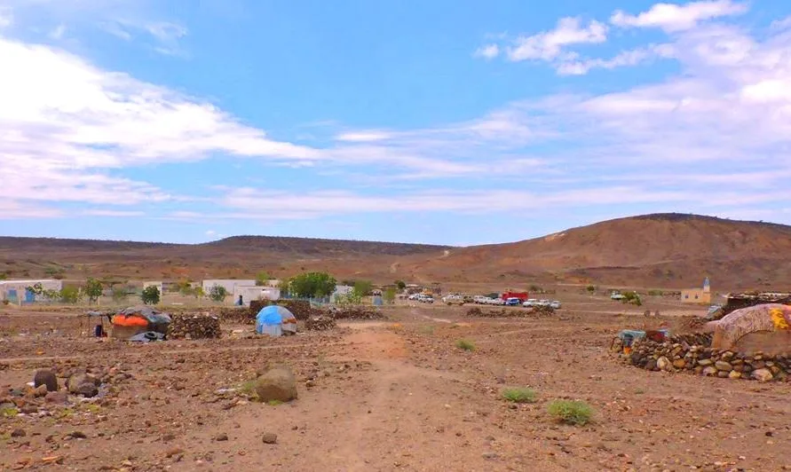
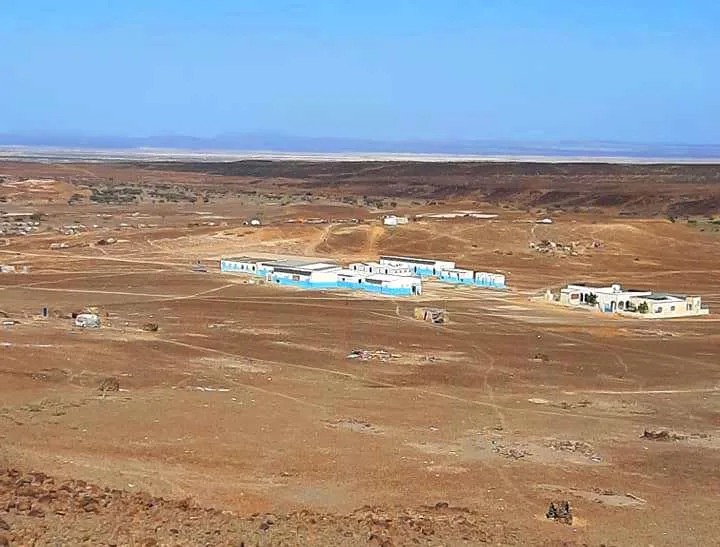
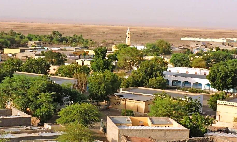
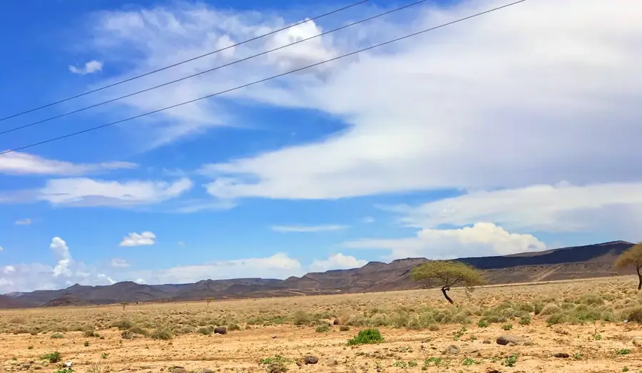
The Hanle Depression is a significant geomorphological basin and agricultural zone located across the Dikhil and Tadjourah regions. Unlike much of Djibouti's hyper-arid territory, this depression features fertile alluvial soils deposited over millennia by seasonal wadis flowing from the nearby mountains. These geological conditions support local farming initiatives, which are crucial for the country's food security. The landscape consists of broad, open plains encircled by rugged volcanic ridges. During the rainy season, the ephemeral riverbeds fill with water, sustaining both livestock and natural vegetation. The Hanle Depression also serves as a vital sanctuary for various bird species and gazelles that shelter in its acacia groves. Nomadic Afar and Somali communities utilize the area extensively for grazing, as the fodder is typically more abundant here than in the surrounding deserts. Furthermore, the depression acts as a strategic geographical corridor between central Djibouti and the western border areas.
- Location: Djibouti
- Top sights: `Aroyra · `Arali · ‘Arab Kôma
- Nearby: Hanle (5 km)
Best time to visit & climate
The most pleasant time to visit is Jan, Feb, Dec.
| Jan | Feb | Mar | Apr | May | Jun | Jul | Aug | Sep | Oct | Nov | Dec | |
|---|---|---|---|---|---|---|---|---|---|---|---|---|
| Avg °C | 24 | 26 | 28 | 29 | 32 | 35 | 34 | 32 | 32 | 29 | 26 | 25 |
| Rain mm | 5 | 7 | 24 | 51 | 28 | 8 | 45 | 66 | 39 | 13 | 7 | 10 |
📋 Practical info
Geography
Facts
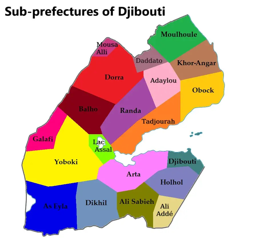
- Spans across the regions of Dikhil and Tadjourah.
- Features fertile alluvial soil deposited by mountain wadis.
- Watered naturally by ephemeral river systems during rains.
- One of Djibouti's primary zones for experimental agriculture.
- A known habitat for wildlife such as gazelles and bustards.
- Crucial grazing land for both Afar and Somali pastoralists.
Explore nearby
Notable places around
Route planner — Car & Motorhome
Where do you start? We build the route here, with stops and country notes along the way.
© OpenStreetMap contributors · OpenRouteService
Sights in the town Hanle Depression (3)
Sights nearby
Frequently asked questions
Why is the Hanle Depression important?
What is grown there?
What is the terrain like?
Can you go birdwatching there?
Is it on a travel route?
Hanle Depression: where is it located?
Hanle Depression: what is there to see?
Hanle Depression: when is the best time to visit?
Hanle Depression: why is it worth visiting?

Nearby cities

History & landmarks
Nature
More places