Plizio Visual Lab
Bafwasende
ℹ️Practical info — Bafwasende
▾
🌤 Weather — 5 days
📍 Nearby
Sights nearby
💡 Tips
- The region is extremely remote; ensure your vehicle is heavily equipped for navigating deep, degraded rainforest roads.
- Respect local customs by briefly stopping to greet the village chief out of courtesy when passing through small settlements.
- The climate is oppressively humid; pack lightweight, breathable, and very quick-drying clothing.
- Avoid purchasing bushmeat at local markets to protect endangered wildlife and mitigate serious health risks.
🍽 Food
A hearty, thick stew made from pounded cassava leaves. It is served as a staple side dish in almost every small eatery.
A dense dumpling made from mashed plantains. It acts as the excellent starchy sponge for soaking up savory sauces.
Dark, intensely flavored honey occasionally sold by local gatherers on the roadside directly from the Ituri forest.
🛍 Shopping · 🧘 Quiet spots
Small wooden stands in the settlements where you can purchase fresh cassava and plantains for your onward journey.
Simple but beautifully hand-carved household tools made from durable tropical woods, sold directly by locals.
Stay near the safe limits of the town boundaries to safely listen to the incredible soundscape of the dense jungle.
The bridges and crossings over the Tshopo River provide a scenic and tranquil break from driving on rough roads.
Water temperature…
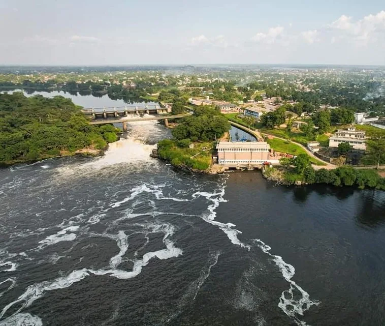
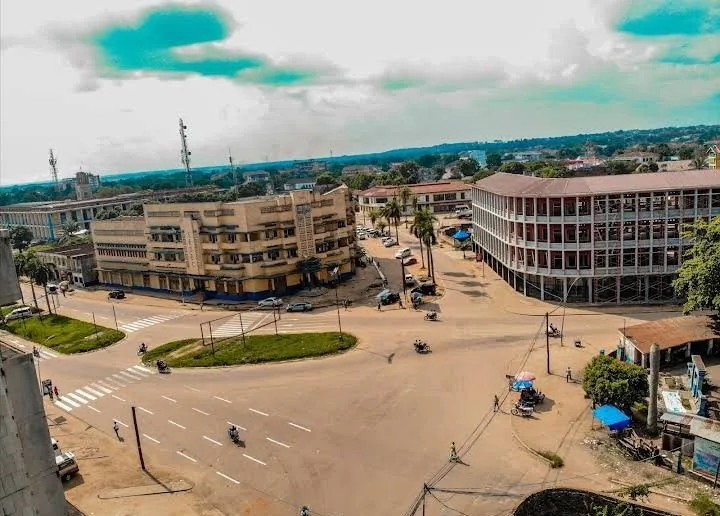
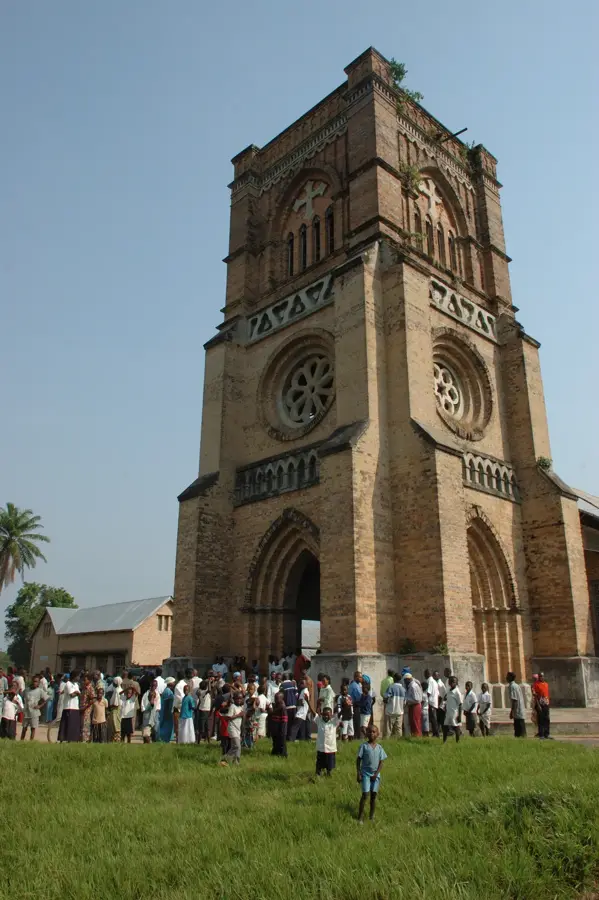
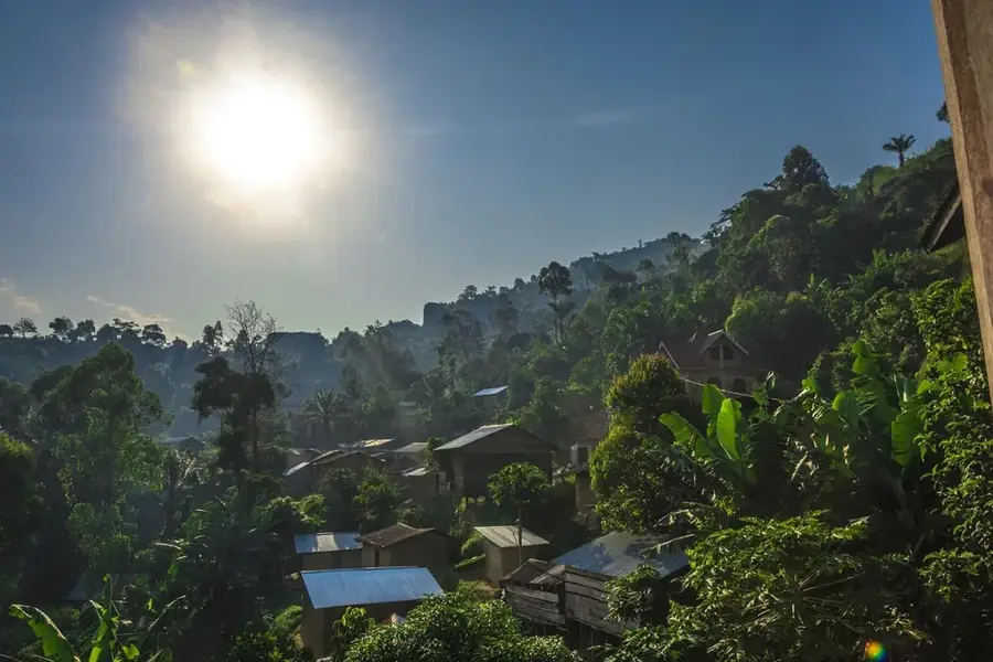
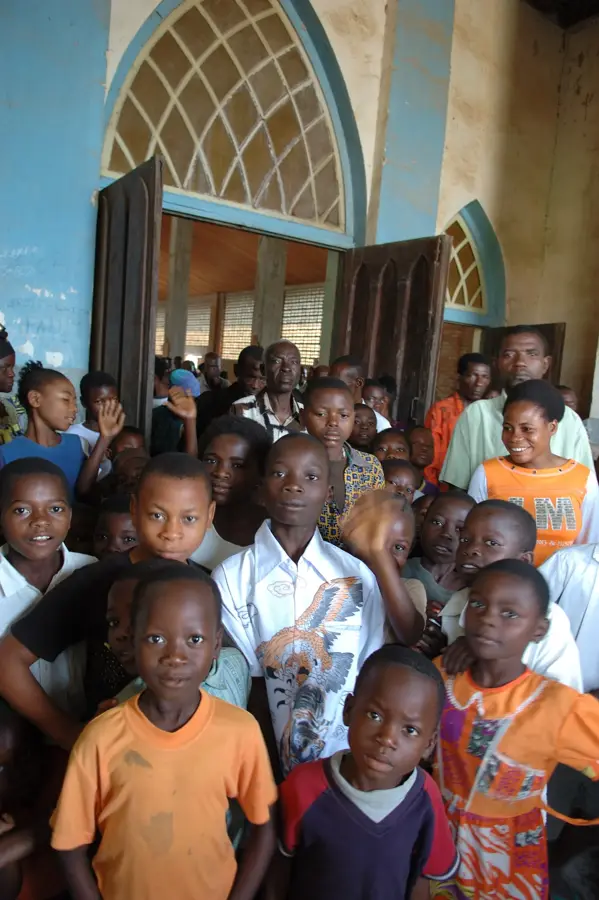
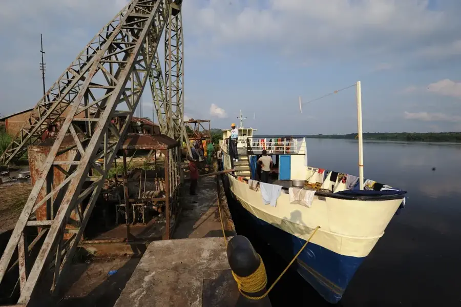
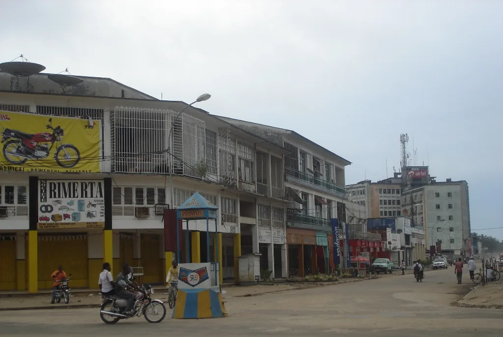
Bafwasende is a strategically significant town in the Tshopo Province, located in the northeastern region of the Democratic Republic of the Congo. Situated along the Lindi River, it serves as a central commercial hub on National Road 4, which connects the major city of Kisangani with the Ugandan border. The surrounding landscape of Bafwasende is characterized by dense primary rainforest, forming part of the vast Ituri forest ecosystem known for its immense biological diversity. Historically, the area was an important center for rubber extraction and forestry during the colonial period. Currently, the local economy relies heavily on subsistence agriculture, artisanal mining, and transit trade, bolstered by its location on one of the country's most critical east-west transport corridors. Due to its remote setting and thick forest cover, Bafwasende is involved in various conservation initiatives, though it faces ongoing challenges from illegal logging and poaching. The local social fabric is composed of diverse ethnic groups whose livelihoods traditionally revolve around fishing in the Lindi River and small-scale farming.
Best time to visit & climate
The most pleasant time to visit is Jan, Jul, Dec.
| Jan | Feb | Mar | Apr | May | Jun | Jul | Aug | Sep | Oct | Nov | Dec | |
|---|---|---|---|---|---|---|---|---|---|---|---|---|
| Avg °C | 24 | 25 | 24 | 24 | 24 | 23 | 23 | 23 | 23 | 23 | 23 | 24 |
| Rain mm | 65 | 94 | 179 | 209 | 173 | 140 | 101 | 159 | 186 | 211 | 181 | 102 |
Geography
Facts
- Bafwasende is the largest territory by area in the Tshopo Province.
- The town is located along the strategic RN4 national highway.
- The Lindi River flows directly past the settlement.
- The region is part of the broader Ituri rainforest ecosystem.
- Artisanal mining for gold and diamonds is common in the surrounding area.
- The distance to the provincial capital, Kisangani, is approximately 260 km.
Explore nearby
Notable places around
Route planner — Car & Motorhome
Where do you start? We build the route here, with stops and country notes along the way.
© OpenStreetMap contributors · OpenRouteService
Frequently asked questions
Where is Bafwasende located?
What is the main feature of the region?
How do you travel to Bafwasende?
Are there hotels there?
What should be considered when traveling?
Bafwasende: where is it located?
Bafwasende: when is the best time to visit?
Bafwasende: why is it worth visiting?

Nearby cities
History & landmarks

More places