Plizio Visual Lab
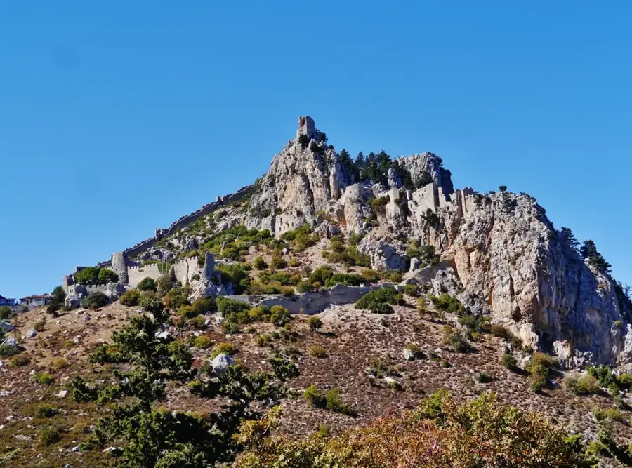
Pentadaktylos Peak
Weather…
Water temperature…
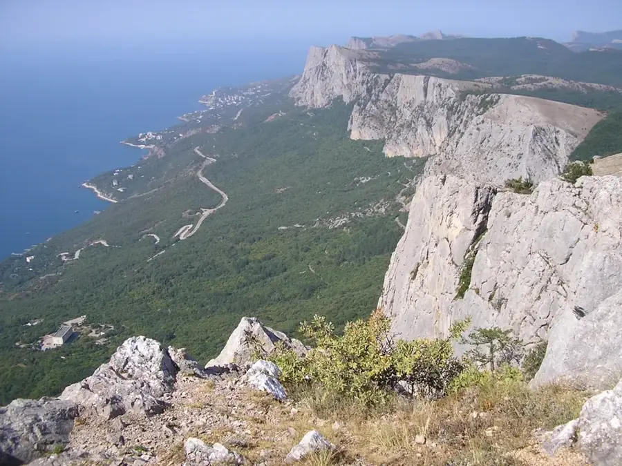
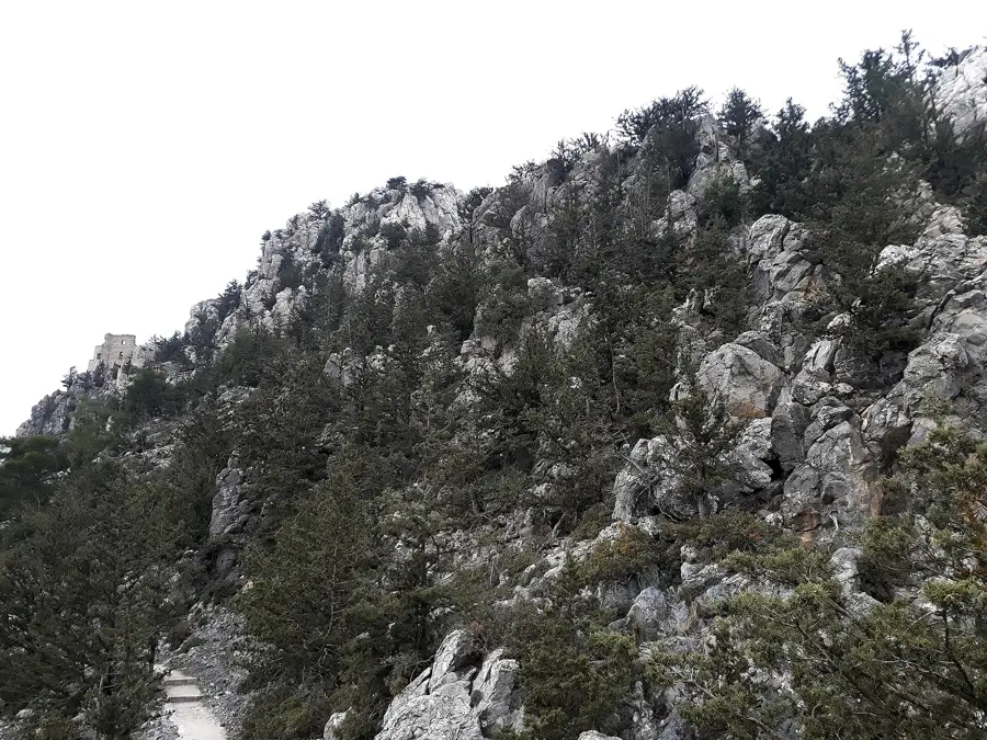
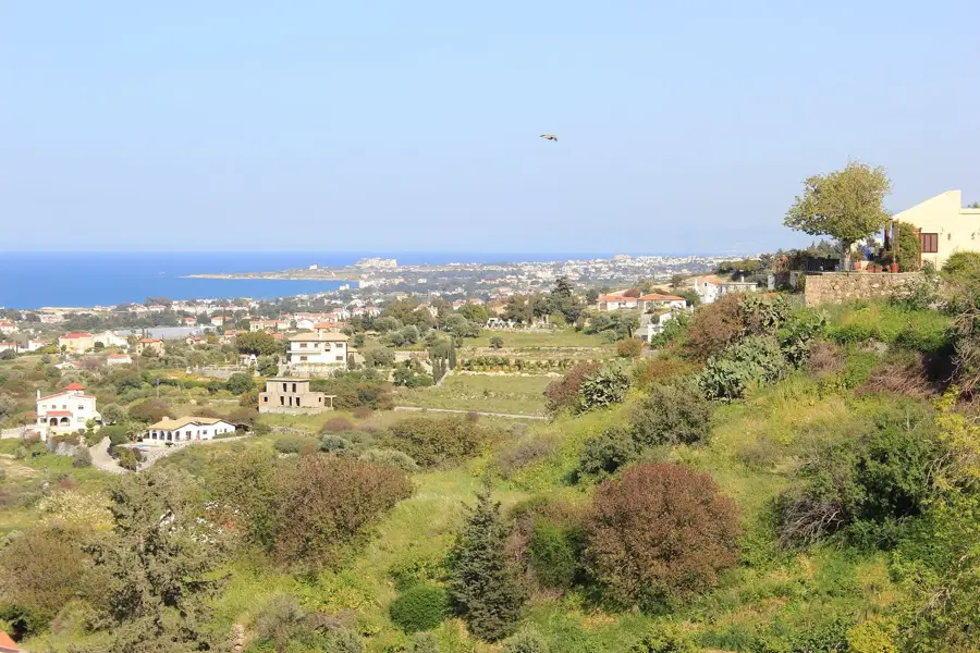
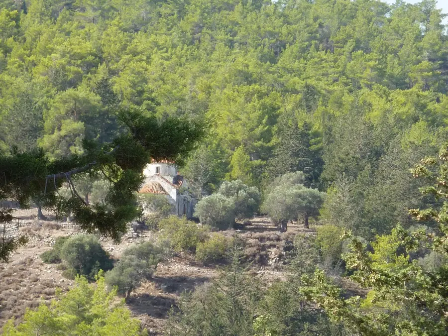
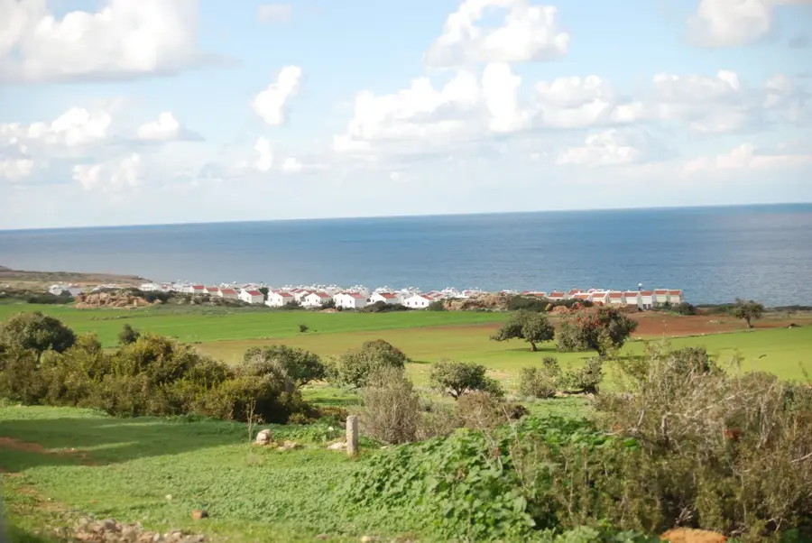
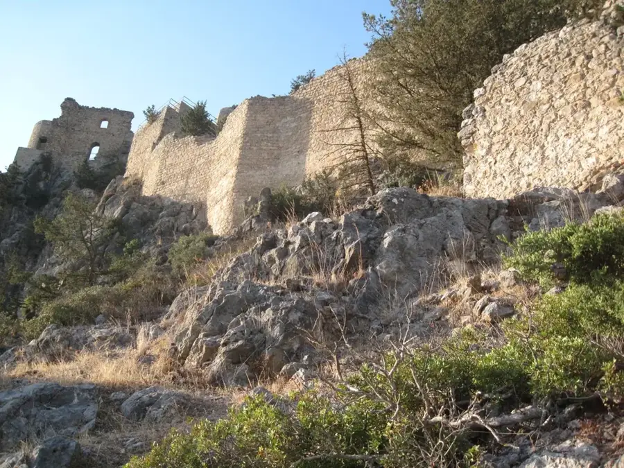
Pentadaktylos Peak is one of the most distinctive landmarks within the Kyrenia Range, standing at an elevation of 740 meters. Its name translates to 'Five Fingers,' referring to the unique jagged rock formation at the summit that bears a striking resemblance to a human hand. Geologically, the peak consists of resistant limestone that has survived erosion while the surrounding softer materials were worn away over millennia. Numerous folk legends explain its shape, including one about a Byzantine hero who left his handprint in the rock during a heroic feat. The peak features commanding views of the Mesaoria Plain to the south and the northern coastline of Cyprus to the north. The surrounding flora is typical Mediterranean scrubland, featuring resilient herbs and small pine clusters. Despite not being the range's highest point, its iconic silhouette has made it a symbol of the island's northern geography. It is a favored destination for hikers exploring the ridgelines of the Pentadaktylos range.
- Location: Cyprus
- Nearby: Kaimakli (11 km)
Best time to visit & climate
The most pleasant time to visit is Apr, May, Nov.
| Jan | Feb | Mar | Apr | May | Jun | Jul | Aug | Sep | Oct | Nov | Dec | |
|---|---|---|---|---|---|---|---|---|---|---|---|---|
| Avg °C | 14 | 14 | 16 | 19 | 22 | 26 | 30 | 30 | 28 | 25 | 20 | 16 |
| Rain mm | 75 | 49 | 29 | 17 | 14 | 4 | 1 | 1 | 10 | 24 | 42 | 83 |
📋 Practical info
Geography
Facts
- The peak stands at an elevation of 740 meters above sea level.
- Both the Greek and Turkish names for the peak mean 'five fingers.'
- The rock formation is primarily composed of Mesozoic limestone.
- One legend attributes the shape to the hand of the hero Digenis Akritas.
- The silhouette of the peak is a dominant feature of the Nicosia skyline.
- On very clear days, the Taurus Mountains in Turkey are visible from near the summit.
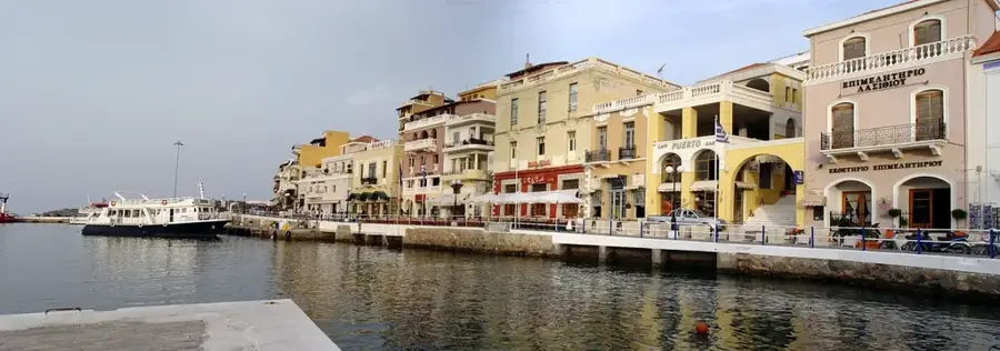
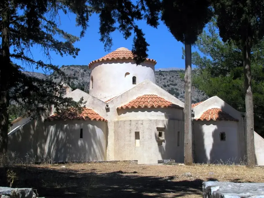
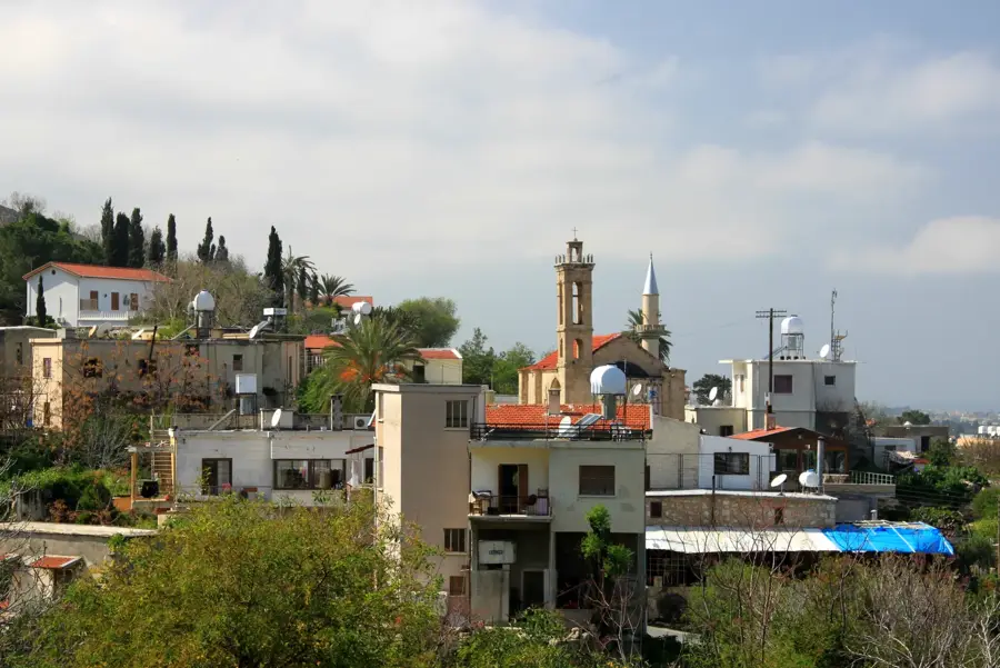
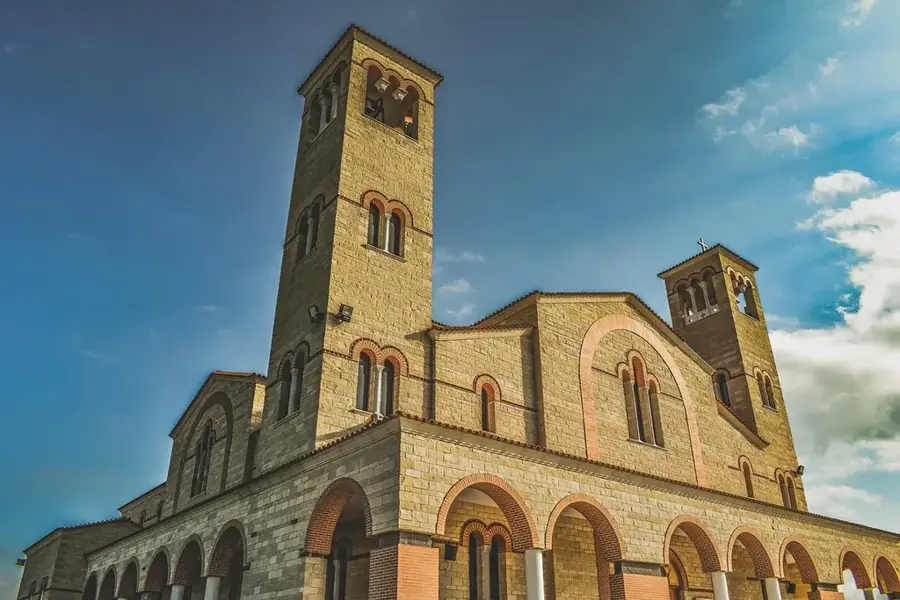
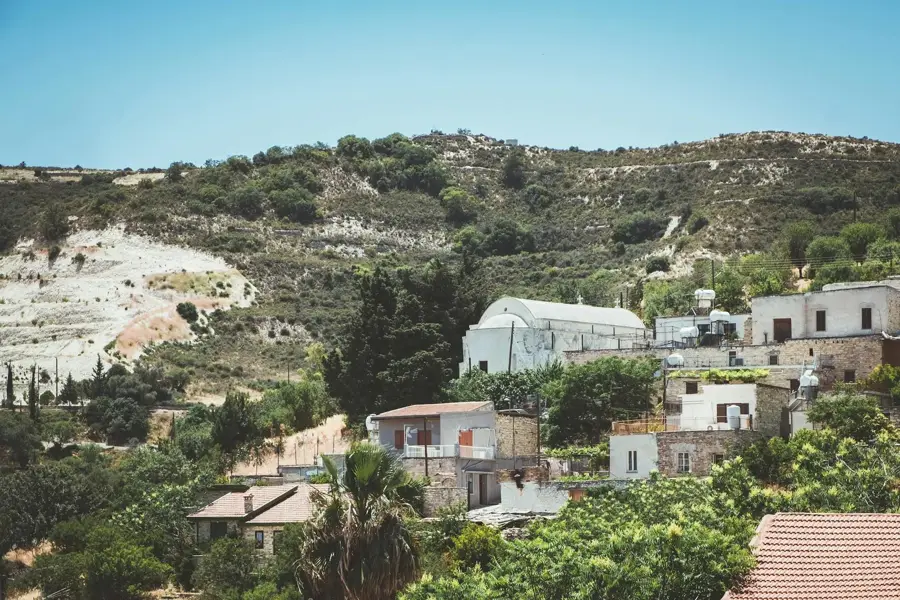
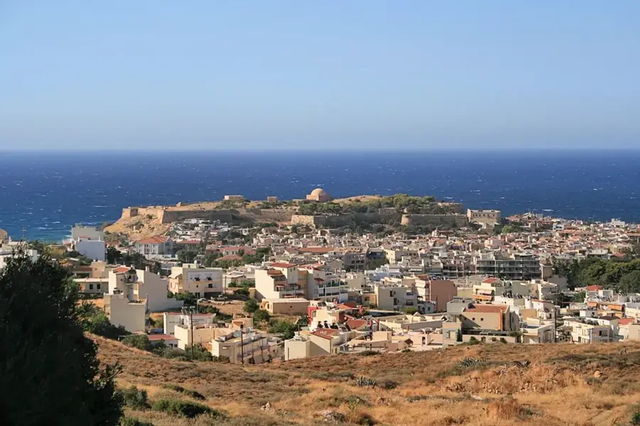
Explore nearby
Notable places around
Route planner — Car & Motorhome
Where do you start? We build the route here, with stops and country notes along the way.
© OpenStreetMap contributors · OpenRouteService
Sights nearby
Frequently asked questions
Where does the peak get its name from?
Is the peak suitable for climbers?
How do you reach Pentadaktylos?
Are there legends about this place?
What should you definitely bring?
Pentadaktylos Peak: where is it located?
Pentadaktylos Peak: when is the best time to visit?
Pentadaktylos Peak: why is it worth visiting?

Nearby cities
History & landmarks

Nature
More places