Plizio Visual Lab
Eastern Sierra Maestra
Weather…
Water temperature…
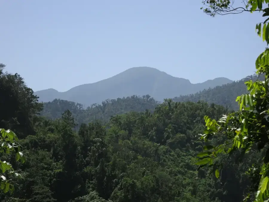
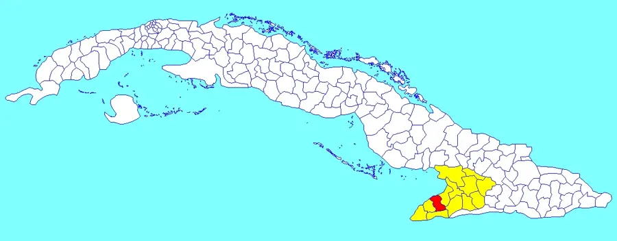
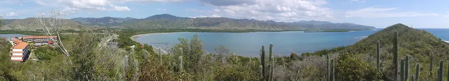
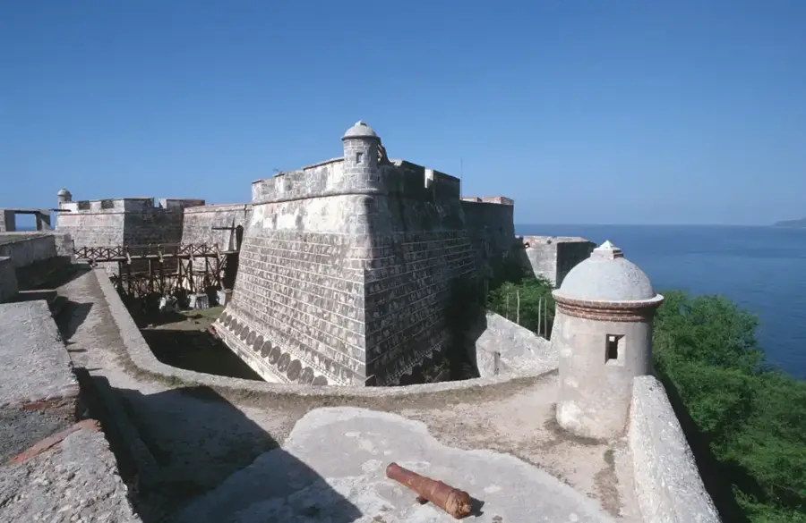
The Eastern Sierra Maestra constitutes the extension of Cuba's most formidable mountain range, stretching across the provinces of Santiago de Cuba and Guantánamo. This region is characterized by deep valleys and rugged peaks that drop steeply toward the Caribbean Sea, creating a spectacular coastal landscape. Geologically, the mountains were formed by volcanic activity during the Cretaceous period and are now primarily composed of igneous rocks. The Sierra Maestra is inextricably linked to Cuban history, having served as the strategic headquarters for revolutionaries led by Fidel Castro in the 1950s. Beyond its historical significance, the region is a biodiversity hotspot, with moist montane rainforests providing sanctuary for numerous endangered animal species. The climate here is significantly cooler and more humid than in the Cuban lowlands, facilitating the cultivation of high-quality coffee. Hiking trails lead to historic sites such as Comandancia de la Plata and offer insights into the rural life of the mountain inhabitants. The preservation of this natural and cultural landscape is ensured by several national parks and protected areas.
- Location: Cuba
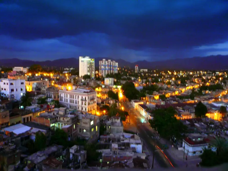
- Nearby: Contramaestre (12 km)
Best time to visit & climate
The most pleasant time to visit is Jan–Mar.
| Jan | Feb | Mar | Apr | May | Jun | Jul | Aug | Sep | Oct | Nov | Dec | |
|---|---|---|---|---|---|---|---|---|---|---|---|---|
| Avg °C | 25 | 25 | 26 | 27 | 27 | 28 | 28 | 29 | 28 | 27 | 26 | 25 |
| Rain mm | 13 | 12 | 14 | 32 | 60 | 54 | 37 | 45 | 56 | 87 | 36 | 17 |
📋 Practical info
Geography
Facts
- The Sierra Maestra is the longest mountain range in Cuba, exceeding 250 km.
- Pico Turquino (1,974 m) is the highest peak of the entire system.
- Coffee plantations in the region are part of a UNESCO World Heritage site.
- The mountains formed approximately 65 to 30 million years ago.
- The Sierra Maestra receives an average annual rainfall of 2,000 mm.
- Comandancia de la Plata was established as a rebel base in 1958.
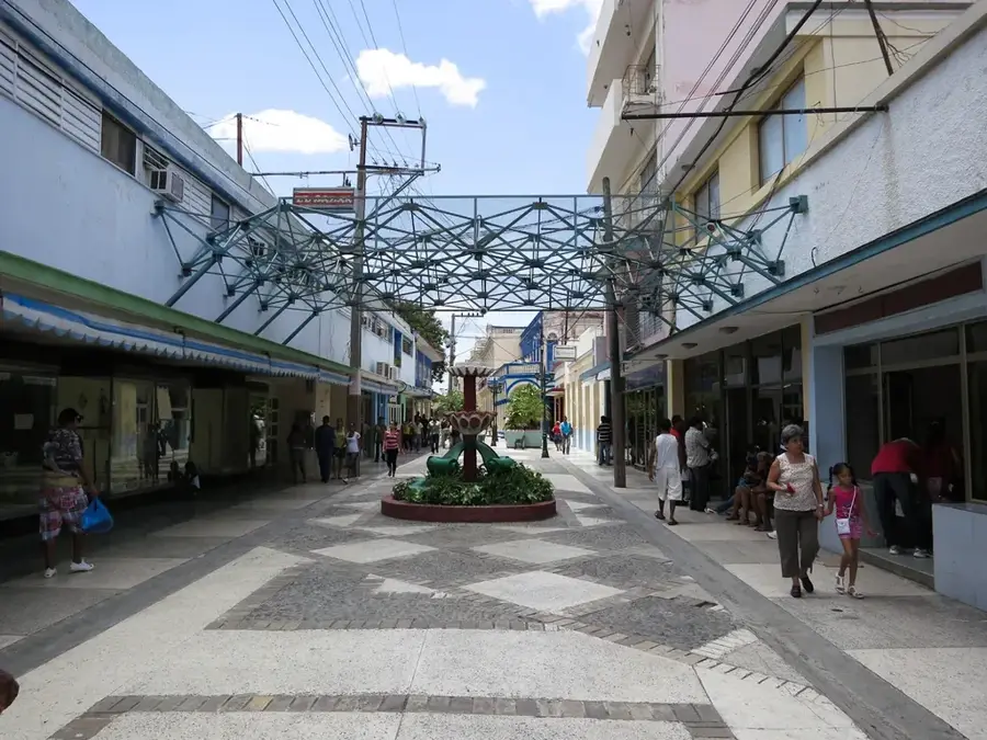
Explore nearby
Notable places around
Route planner — Car & Motorhome
Where do you start? We build the route here, with stops and country notes along the way.
© OpenStreetMap contributors · OpenRouteService
Sights nearby
Frequently asked questions
What is Sierra Maestra Oriental?
What is Gran Piedra?
Are there coffee plantations there?
What is the climate like there?
Can you reach the peaks by car?
Eastern Sierra Maestra: where is it located?
Eastern Sierra Maestra: when is the best time to visit?
Eastern Sierra Maestra: why is it worth visiting?

Nearby cities
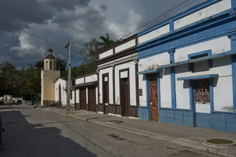
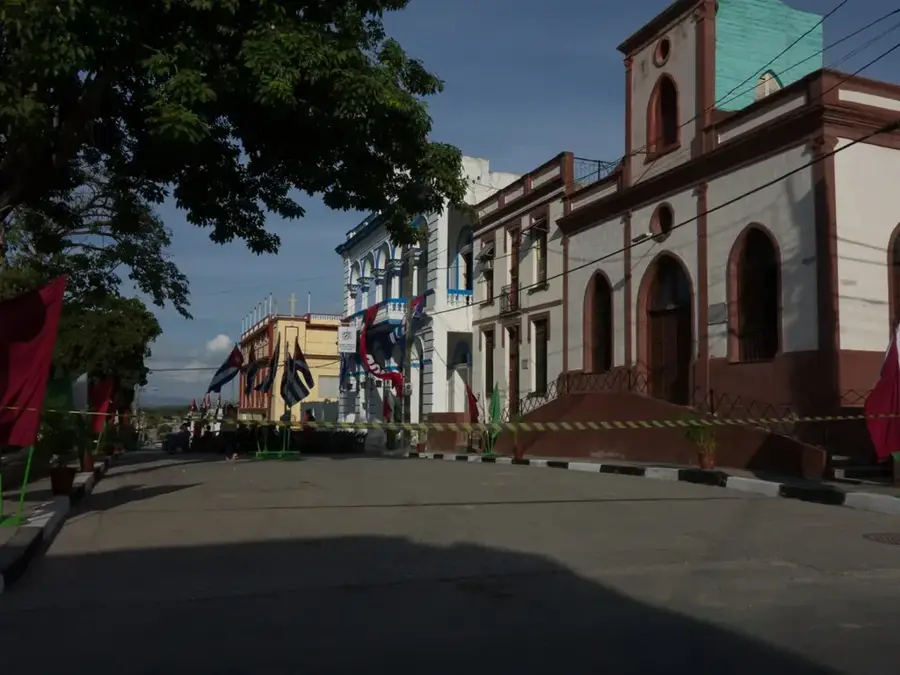
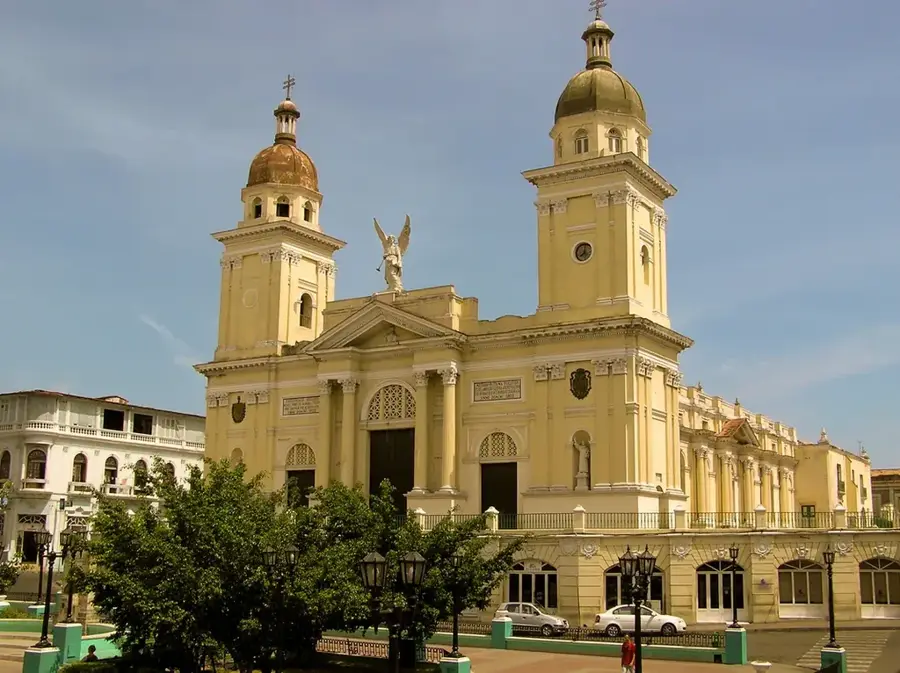
History & landmarks
Nature
More places