Plizio Visual Lab
Loma la Taberna
Weather…
Water temperature…
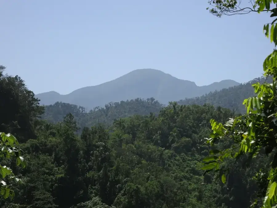
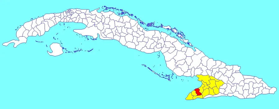
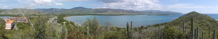
Loma la Taberna is a significant elevation in the Granma province, geographically part of the Sierra Maestra mountain system. This region holds strategic and historical importance as it was the site of major military engagements during the final stages of the Cuban Revolution. In December 1958, securing control over Loma la Taberna was crucial for the rebel army's advance toward the town of Guisa, led by figures such as Che Guevara and Camilo Cienfuegos. The relief is characterized by steep slopes and deep-cut valleys covered in dense, evergreen vegetation. The soils are fertile, supporting coffee cultivation at higher altitudes. Geologically, the hill is composed of a mix of volcanic rocks and marine sediments, typical of the mountain-building processes in Eastern Cuba. Today, Loma la Taberna serves as a site of remembrance and provides hikers dramatic views of the Sierra Maestra foothills and the Cauto River basin.
- Location: Cuba
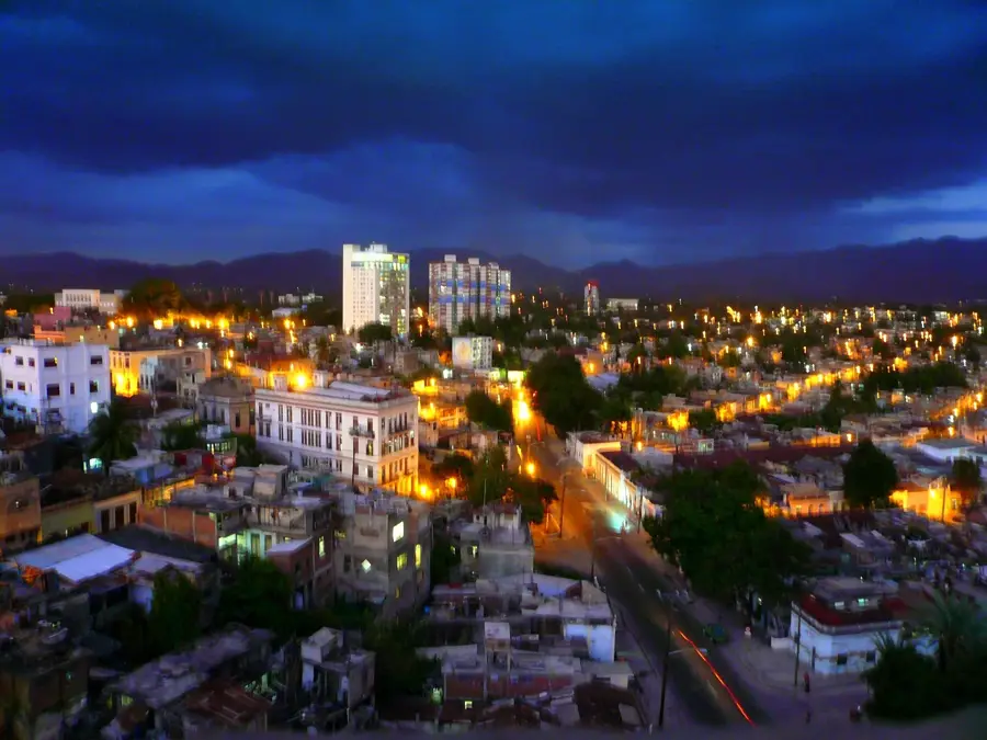
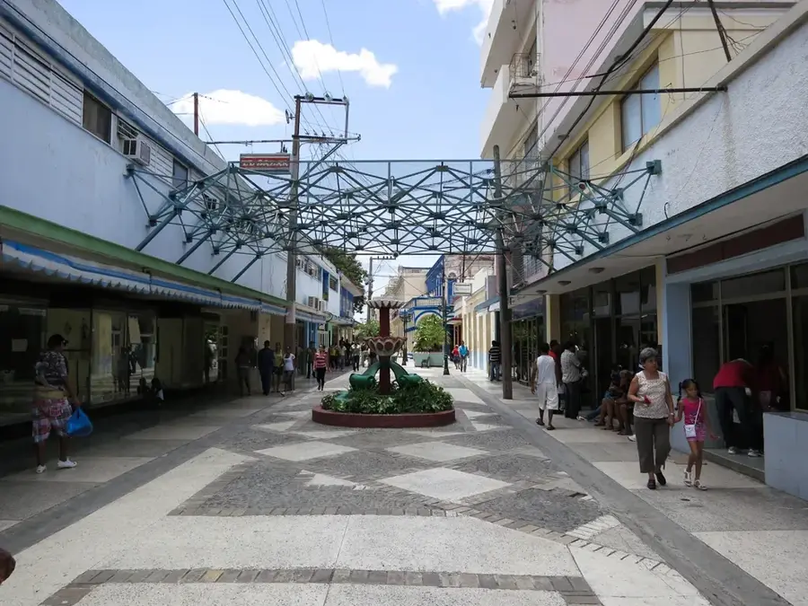
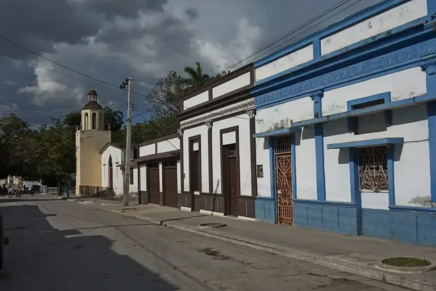
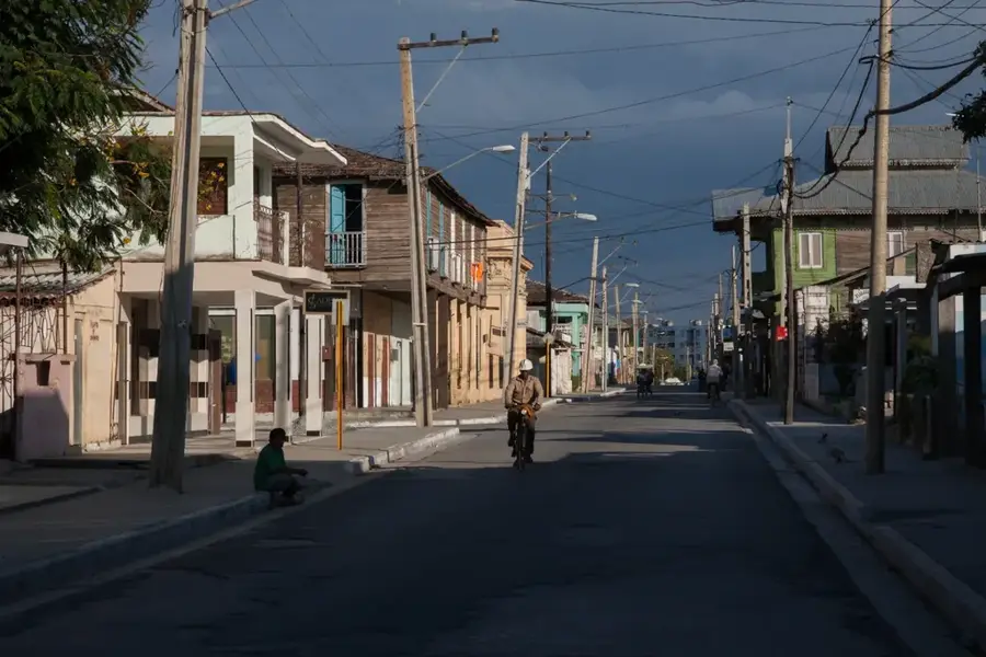
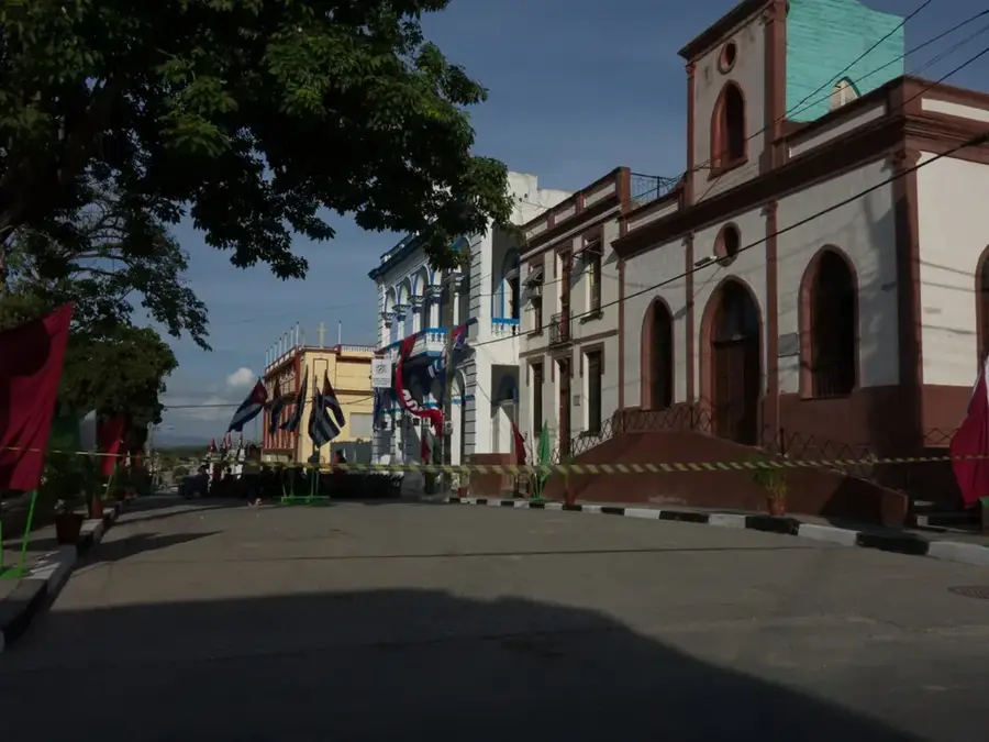
- Nearby: Contramaestre (14 km)
Best time to visit & climate
The most pleasant time to visit is Jan–Mar.
| Jan | Feb | Mar | Apr | May | Jun | Jul | Aug | Sep | Oct | Nov | Dec | |
|---|---|---|---|---|---|---|---|---|---|---|---|---|
| Avg °C | 25 | 25 | 26 | 27 | 27 | 28 | 28 | 29 | 28 | 27 | 26 | 25 |
| Rain mm | 13 | 12 | 14 | 32 | 60 | 54 | 37 | 45 | 56 | 87 | 36 | 17 |
📋 Practical info
Geography
Facts
- The Battle of Guisa, involving this hill, lasted from November 20 to 30, 1958.
- The elevation served as a strategic observation post for Batista's forces.
- Coffee is the primary agricultural product grown on the slopes of the hill.
- The area is part of the drainage basin for the Cauto River, Cuba's longest.
- A monument nearby honors the rebel soldiers who fell during the fighting.
- Average temperatures here are lower than the national average due to elevation.
Explore nearby
Notable places around
Route planner — Car & Motorhome
Where do you start? We build the route here, with stops and country notes along the way.
© OpenStreetMap contributors · OpenRouteService
Sights nearby
Frequently asked questions
What is Loma la Taberna?
Is the hill developed for tourism?
What can you see from the summit?
Are there forested areas there?
What is the terrain like?
Loma la Taberna: where is it located?
Loma la Taberna: when is the best time to visit?
Loma la Taberna: why is it worth visiting?

Nearby cities

History & landmarks

Nature
More places