Plizio Visual Lab
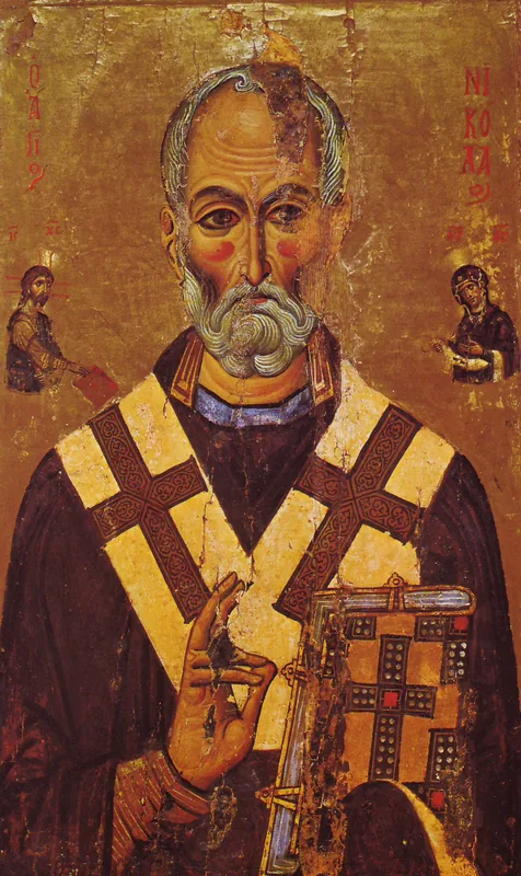
Sveti Nikola
Weather…
Water temperature…
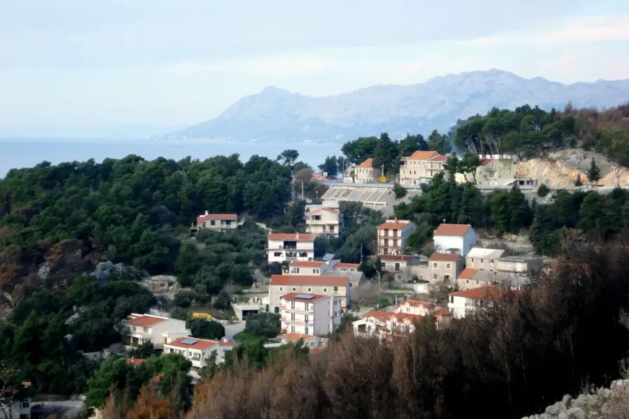
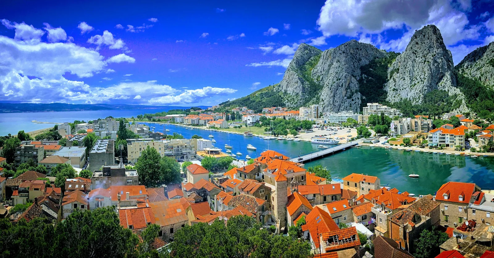
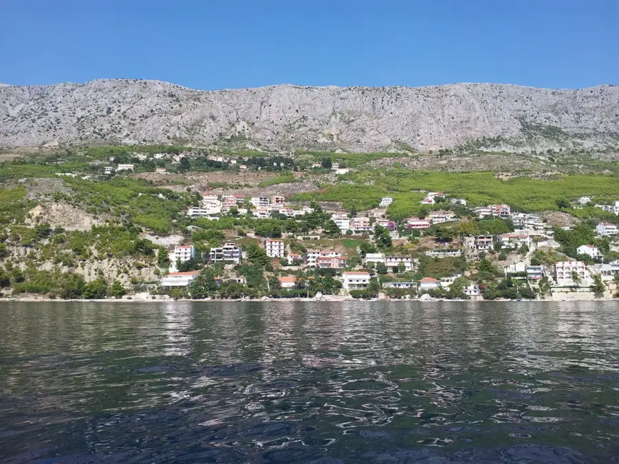
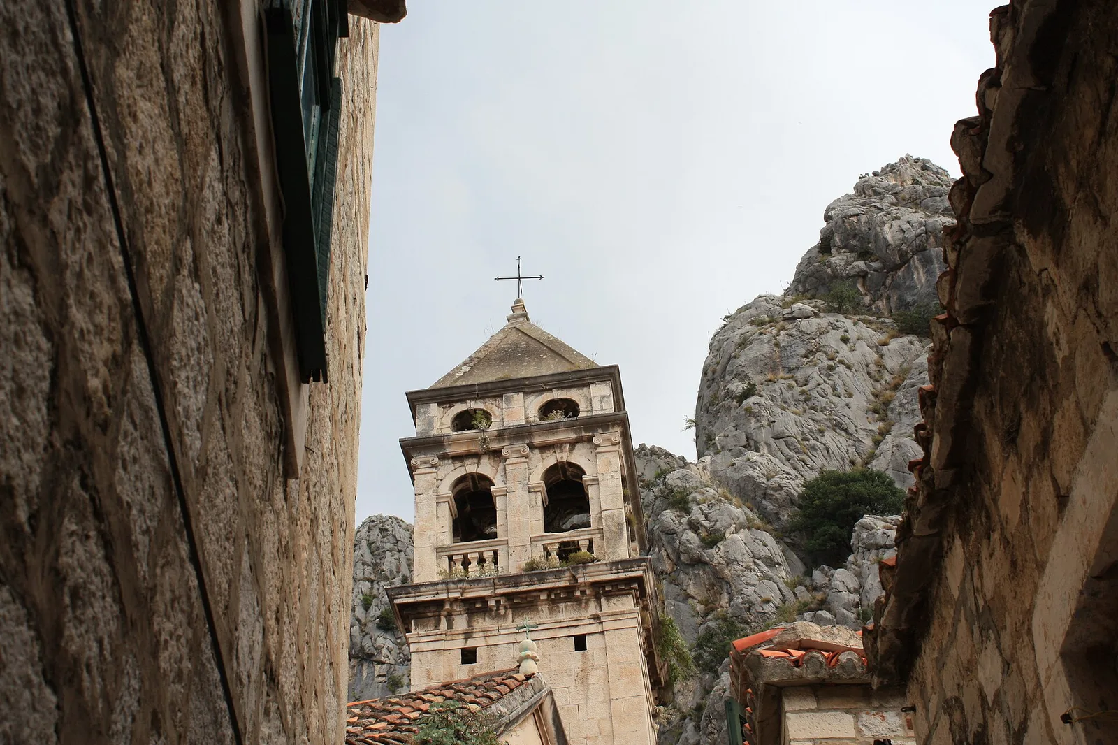
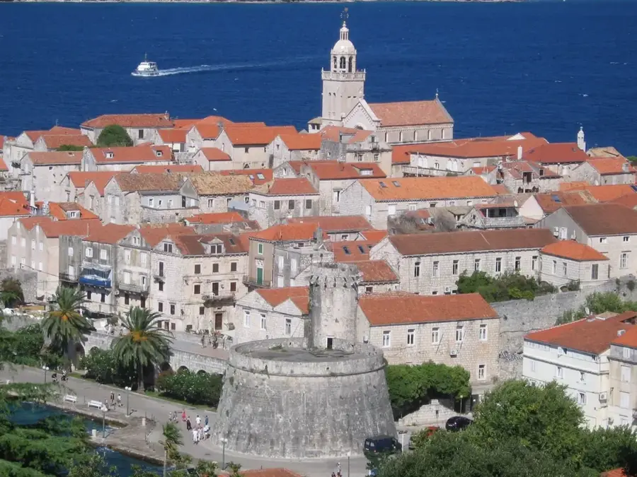
Sveti Nikola, rising to 628 meters, is the highest peak on the island of Hvar, offering an unparalleled view of the central Dalmatian archipelago. The summit features a small chapel dedicated to Saint Nicholas, built in the 15th century, making it a long-standing site of historical and religious significance. The mountain slopes are characterized by terraced vineyards and olive groves, with the steep southern cliffs home to the world-renowned Plavac Mali wine production. Geologically composed of limestone, the peak drops dramatically into the sea on its southern side, creating impressive coastal cliffs. From the top, on a clear day, the panorama extends to the islands of Vis, Brač, and Korčula, as well as the Biokovo mountain range on the mainland. A large stone cross marks the highest point, serving as a beacon for sailors and a goal for hikers. The climb to the summit winds through fragrant maquis and pine forests, establishing Sveti Nikola as one of the most rewarding hiking destinations in the Croatian islands.
- Location: Croatia
- Top sights: Sveti Nikola · Jagodna · crkva svetog Mihovila arkanđela
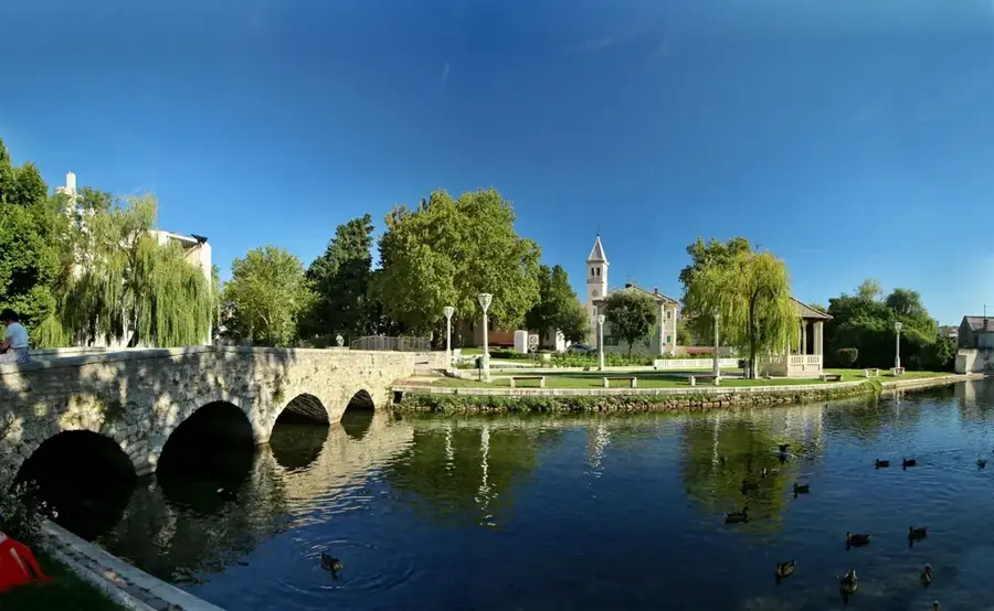
- Nearby: Stari Grad (Hvar) (5 km)
Best time to visit & climate
The most pleasant time to visit is May–Jul.
| Jan | Feb | Mar | Apr | May | Jun | Jul | Aug | Sep | Oct | Nov | Dec | |
|---|---|---|---|---|---|---|---|---|---|---|---|---|
| Avg °C | 11 | 11 | 12 | 15 | 18 | 23 | 25 | 26 | 22 | 19 | 16 | 13 |
| Rain mm | 85 | 81 | 74 | 58 | 48 | 42 | 25 | 33 | 80 | 80 | 114 | 109 |
📋 Practical info
Geography
Facts
- The highest point on the island of Hvar at 628 meters.
- Summit chapel of St. Nicholas was built in the 15th century.
- Southern slopes are famous for Plavac Mali wine vineyards.
- Features views of the islands Vis, Brač, and Korčula.
- The highest point is marked by a prominent white stone cross.
- Geologically composed of Jurassic limestone with steep sea cliffs.
Explore nearby
Notable places around
Route planner — Car & Motorhome
Where do you start? We build the route here, with stops and country notes along the way.
© OpenStreetMap contributors · OpenRouteService
Sights in the town Sveti Nikola (10)
sv. Vida⛪ church
sv. Vida is a church.
End of Via Ferrata
End of Via Ferrata is a viewpoint.
Ferrata Bridge
Ferrata Bridge is a viewpoint.
Start of Via Ferrata Avalon
Start of Via Ferrata Avalon is an attraction.
Žalo Zogon
Žalo Zogon is a beach.
Likorova kuća
Likorova kuća is a ruin.
Sights nearby
Frequently asked questions
Where is Sveti Nikola located?
What is located on the summit?
Which hiking route is best?
Can you see other islands from there?
Is there shade on the path?
Sveti Nikola: where is it located?
Sveti Nikola: what is there to see?
Sveti Nikola: when is the best time to visit?
Sveti Nikola: why is it worth visiting?

Nearby cities