Plizio Visual Lab
Mala Kapela

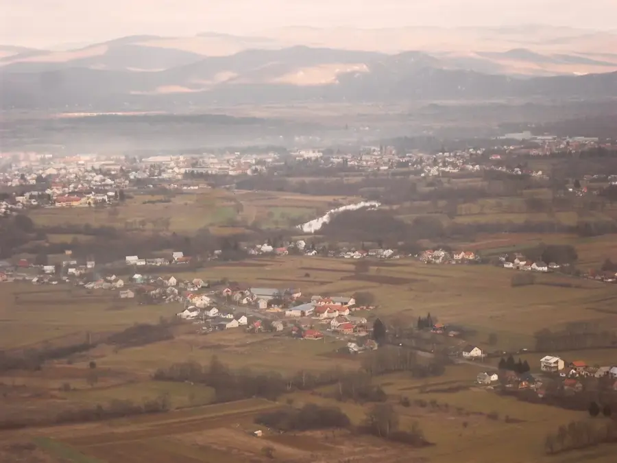
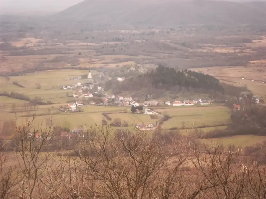
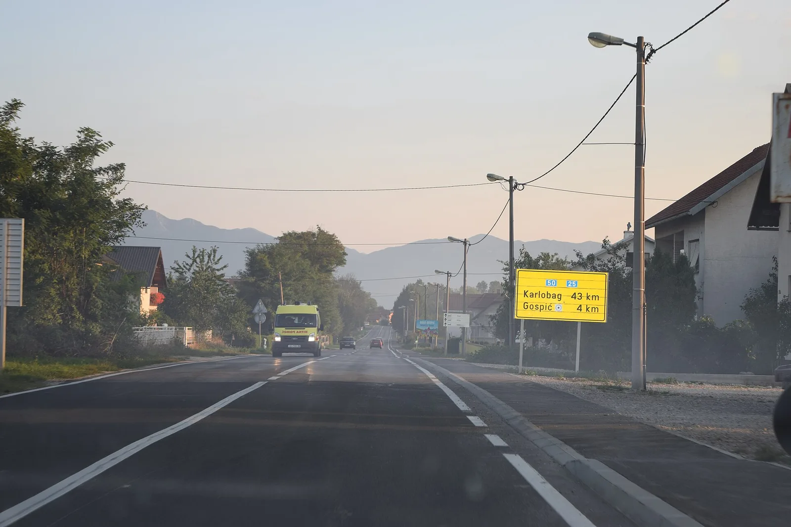
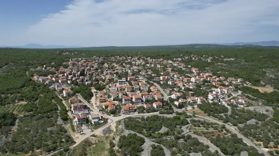
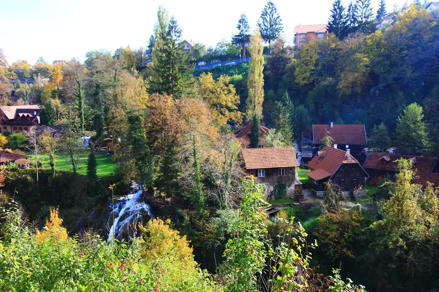
Mala Kapela is a mountain range in central Croatia that forms a transitional zone between Velika Kapela to the northwest and the Plješivica range to the southeast. Part of the Dinaric Alps, it effectively separates the Lika plateau from the Kordun region. The highest peak is Seliški vrh, reaching 1,279 meters, situated in the southern part of the massif near Plitvice Lakes National Park. The mountains are primarily composed of limestone and dolomite, resulting in extensive karst topography including caves and underground rivers. The range is most widely known for the Mala Kapela Tunnel, which at 5.8 kilometers is the longest road tunnel in Croatia, carrying the A1 highway through the heart of the mountain. The dense forests of beech and fir provide a critical habitat for large carnivores such as wolves, lynx, and brown bears.
- Location: Croatia
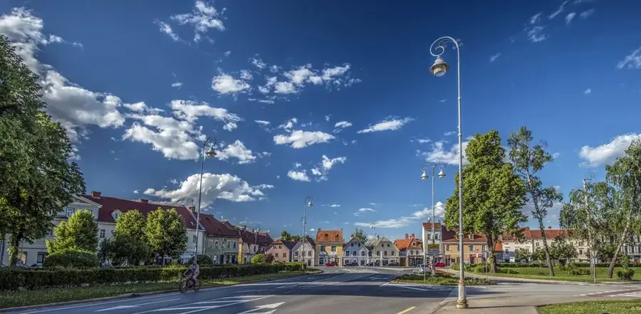
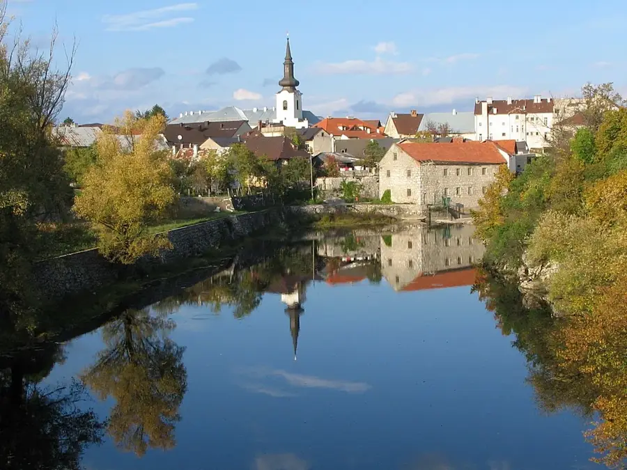
- Nearby: Podum (7 km)
Best time to visit & climate
The most pleasant time to visit is Jun–Aug.
| Jan | Feb | Mar | Apr | May | Jun | Jul | Aug | Sep | Oct | Nov | Dec | |
|---|---|---|---|---|---|---|---|---|---|---|---|---|
| Avg °C | 0 | 1 | 5 | 10 | 14 | 18 | 21 | 21 | 15 | 11 | 6 | 1 |
| Rain mm | 95 | 103 | 89 | 94 | 109 | 86 | 69 | 85 | 140 | 124 | 141 | 111 |
📋 Practical info
Geography
Facts
- Highest peak: Seliški vrh at 1,279 meters.
- The Mala Kapela Tunnel spans 5,801 meters.
- Separates the Lika plateau from the Kordun region.
- Primarily composed of Mesozoic limestone and dolomite.
- Bordered by the Plitvice Lakes National Park.
- Features the longest road tunnel on the A1 highway.
Explore nearby
Notable places around
Route planner — Car & Motorhome
Where do you start? We build the route here, with stops and country notes along the way.
© OpenStreetMap contributors · OpenRouteService
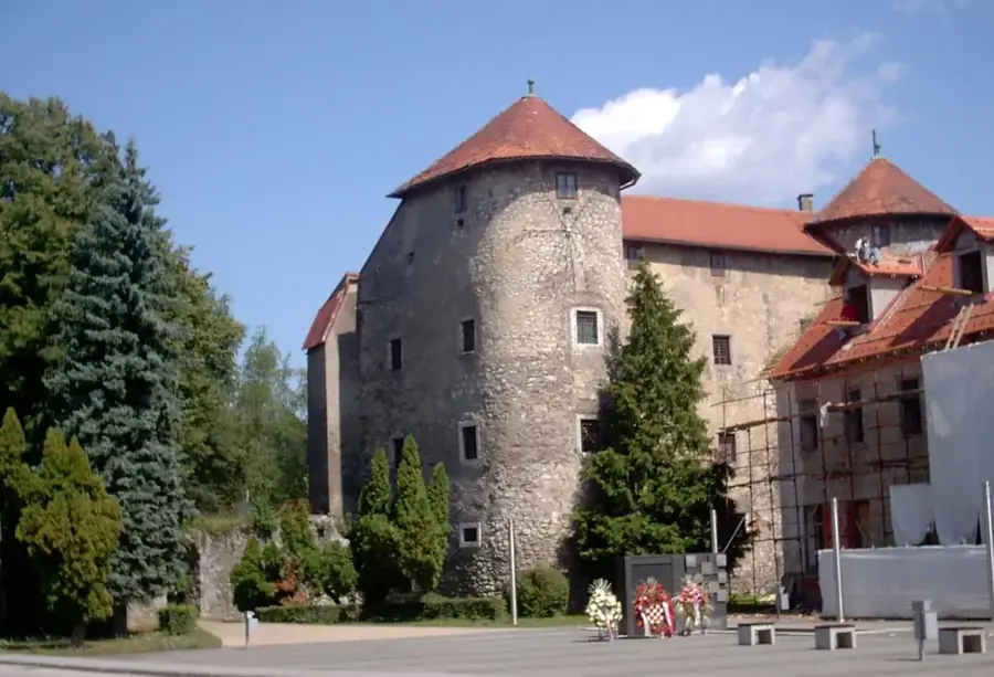
Sights in the town Mala Kapela (1)
Sights nearby
Frequently asked questions
Where is Mala Kapela located?
What is the most famous place in this mountain range?
How high are the peaks of Mala Kapela?
Are there highway tunnels through the mountain?
What characterizes the flora?
Mala Kapela: where is it located?
Mala Kapela: when is the best time to visit?
Mala Kapela: why is it worth visiting?

Nearby cities