Plizio Visual Lab
Baćina Lakes
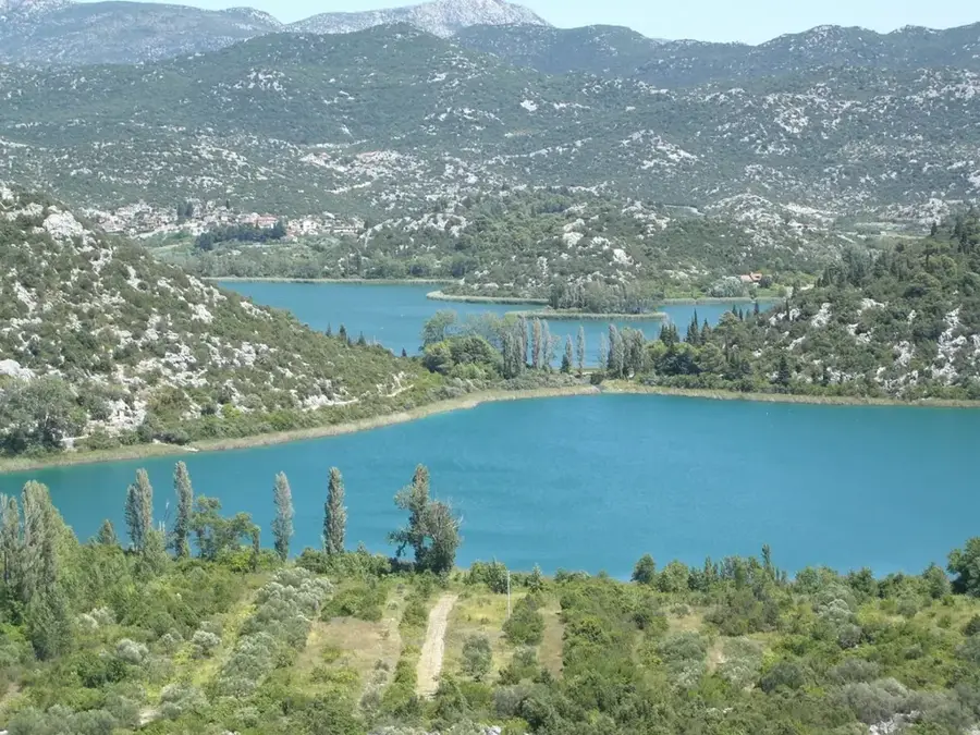
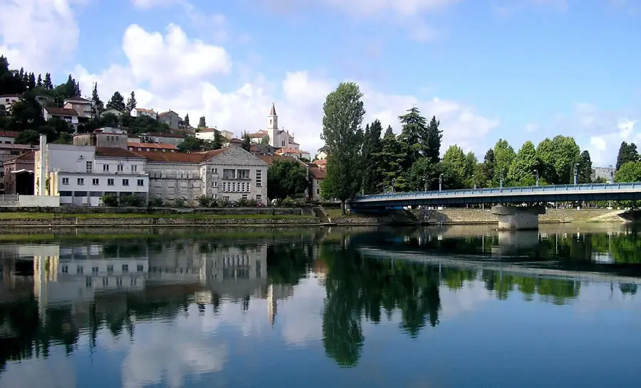
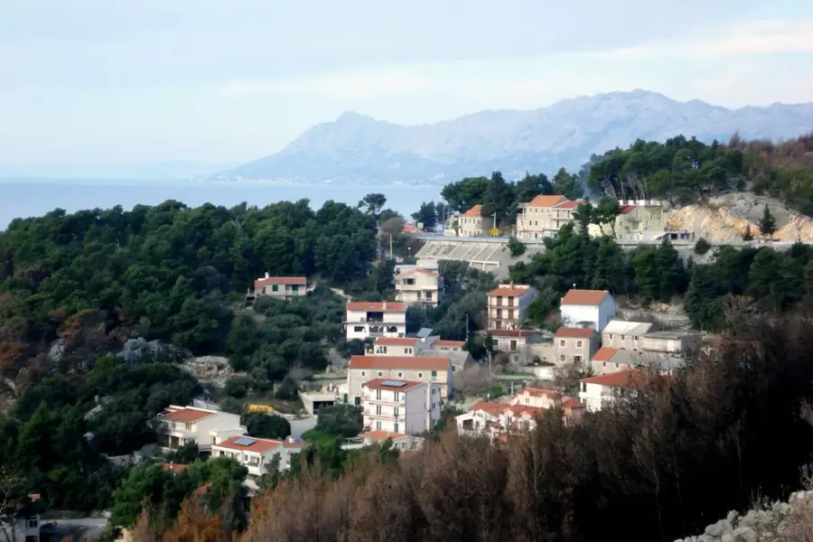
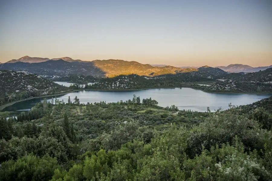
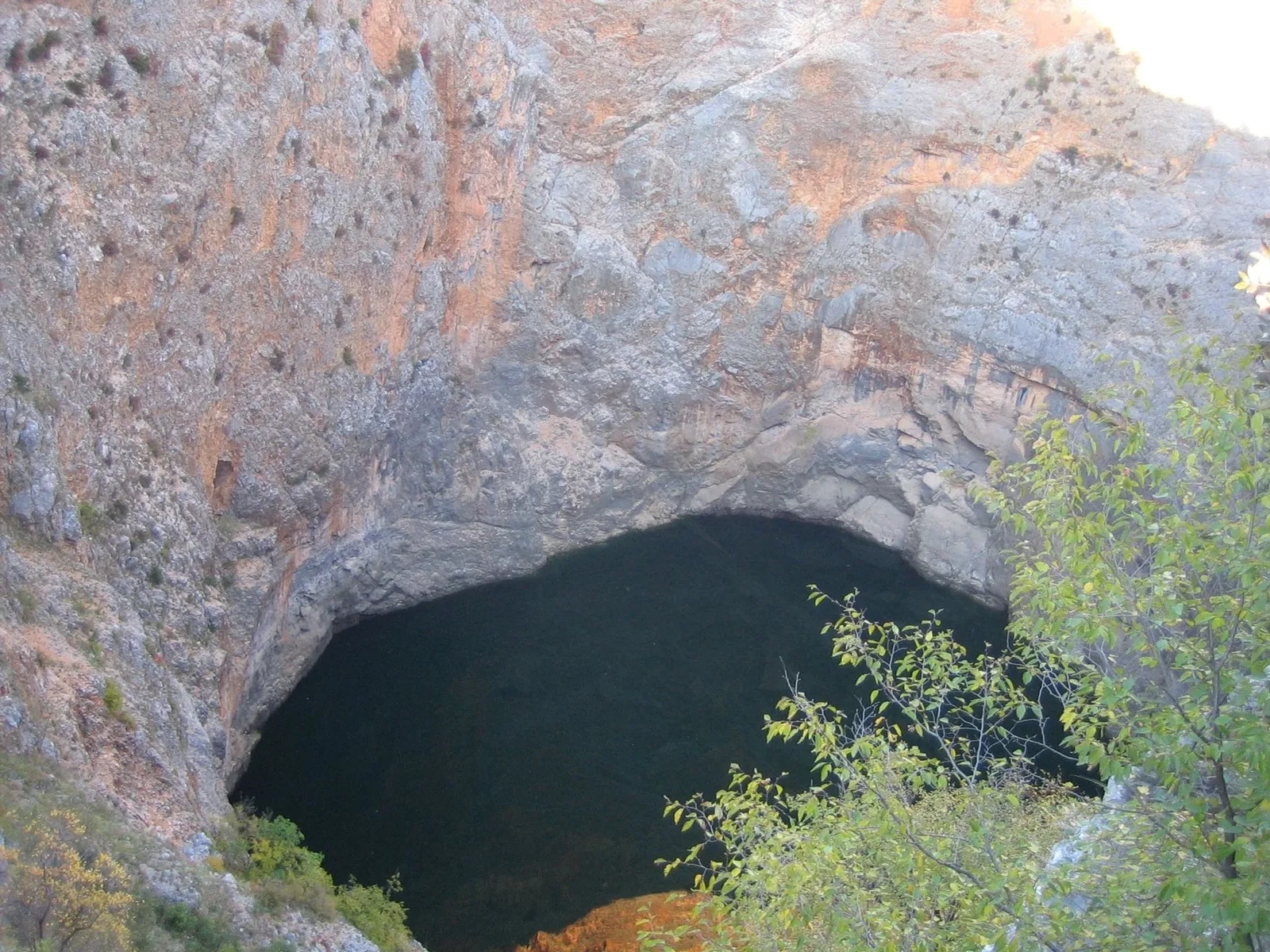
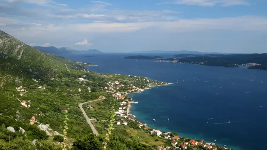
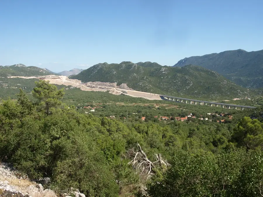
The Baćina Lakes (Baćinska jezera) are a cluster of seven photogenic lakes located near the town of Ploče, close to the Neretva River delta. Six of the seven lakes are interconnected by natural and artificial channels, while one remains separate, forming a complex hydrological system. The lakes are karst phenomena and exhibit cryptodepression, as the bottom of several lakes lies below sea level. In 1912, a tunnel was constructed to connect the lakes to the sea, primarily to regulate water levels and prevent flooding of nearby agricultural fields. The water chemistry is unique, featuring a mix of fresh spring water and saline seawater, which supports a high biodiversity of fish and bird species. Surrounded by lush Mediterranean vegetation, the lakes offer well-suited conditions for kayaking, cycling, and stand-up paddling in a serene environment. Archaeological remains found along the shores indicate that the area was inhabited since ancient times. These lakes serve as a peaceful oasis, offering a quiet alternative to the crowded coastal destinations nearby.
- Location: Croatia
- Top sights: Bukočica · crkva Kraljice Neba i Zemlje · Vukovac
- Nearby: Rogotin (5 km)
Best time to visit & climate
The most pleasant time to visit is May, Jun, Sep.
| Jan | Feb | Mar | Apr | May | Jun | Jul | Aug | Sep | Oct | Nov | Dec | |
|---|---|---|---|---|---|---|---|---|---|---|---|---|
| Avg °C | 6 | 7 | 10 | 14 | 18 | 23 | 27 | 27 | 21 | 17 | 12 | 8 |
| Rain mm | 108 | 102 | 95 | 71 | 56 | 47 | 26 | 34 | 81 | 94 | 121 | 121 |
📋 Practical info
Geography
Facts
- The lake system consists of seven distinct karst lakes.
- Six of the lakes are naturally interconnected via channels.
- The lakes are cryptodepressions, with bottoms below sea level.
- A tunnel connecting the lakes to the Adriatic was built in 1912.
- The deepest of the lakes, Crniševo, reaches a depth of 34 meters.
- The area is a significant habitat for many migratory bird species.
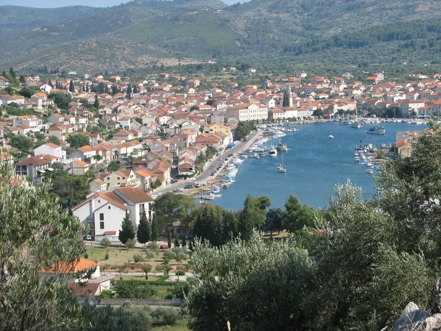
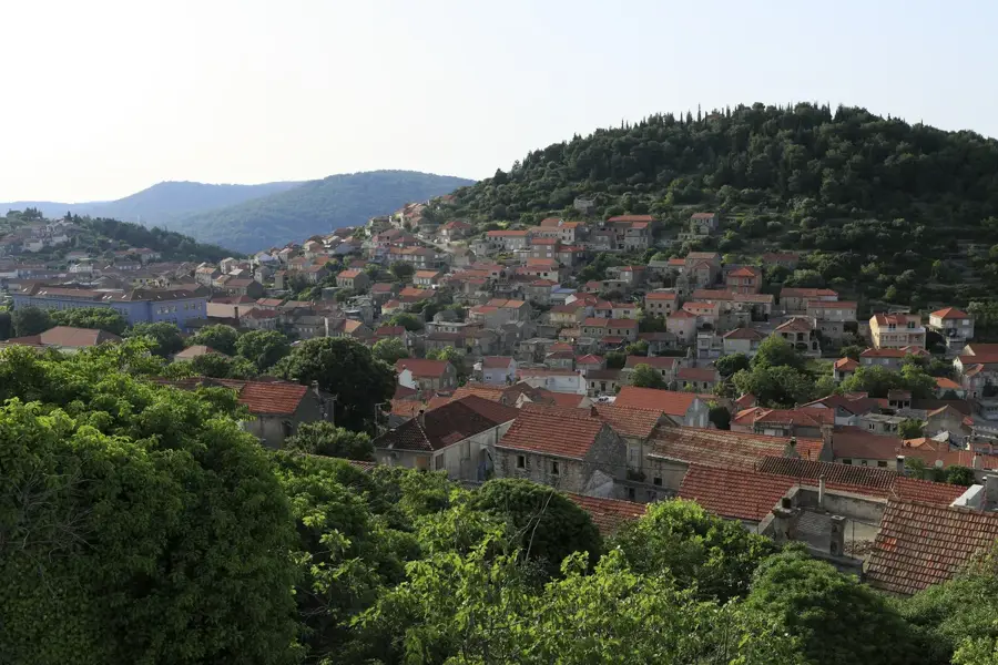
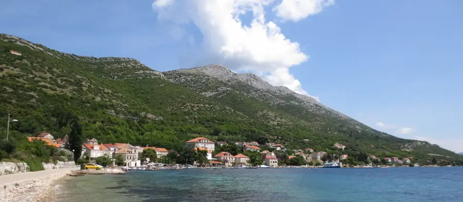
Explore nearby
Notable places around
Route planner — Car & Motorhome
Where do you start? We build the route here, with stops and country notes along the way.
© OpenStreetMap contributors · OpenRouteService
Sights in the town Baćina Lakes (4)
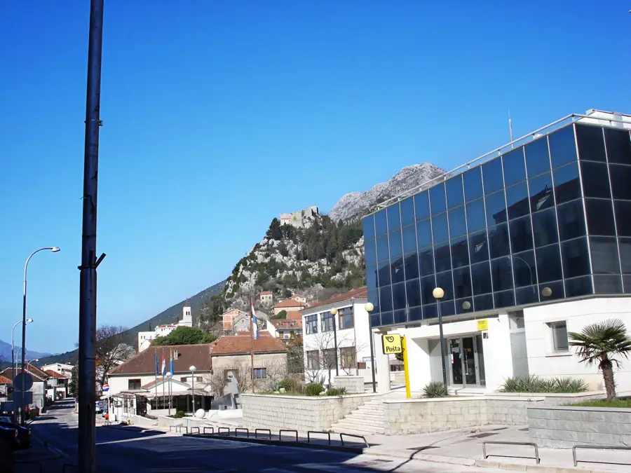
Kolovrat
A hill in Croatia, part of the hilly terrain.
Sights nearby
Frequently asked questions
How many Baćina lakes are there?
Is the water in the lakes fresh or salty?
Can you go paddling on the lakes?
Where are the lakes located?
Are the lakes suitable for swimming?
Baćina Lakes: where is it located?
Baćina Lakes: what is there to see?
Baćina Lakes: when is the best time to visit?
Baćina Lakes: why is it worth visiting?

Nearby cities