Plizio Visual Lab

Rangimotia

Plizio editorial teamData Sources
peak
—°1
Rangimotia (Cook Islands)

Weather…

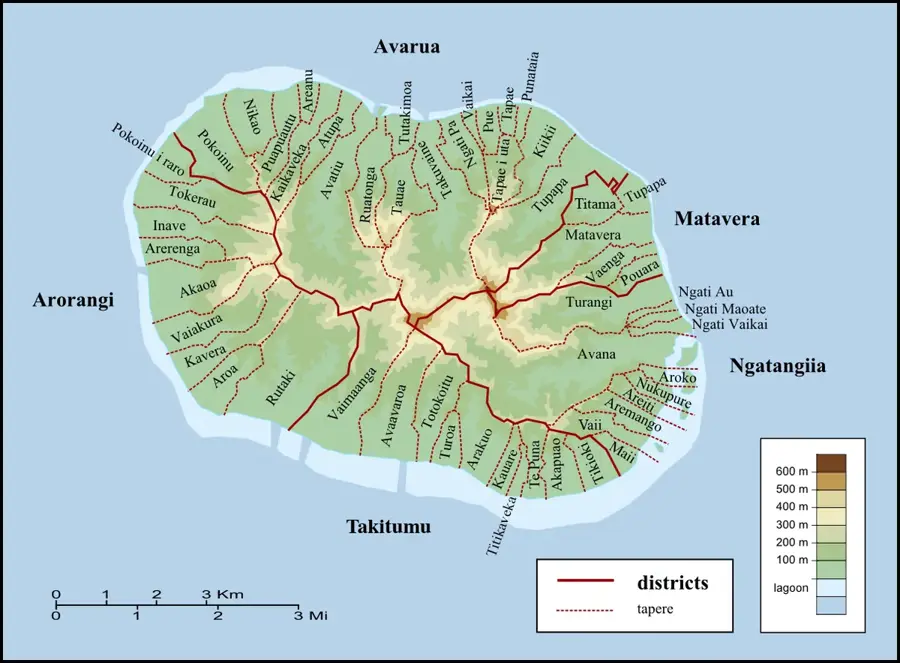
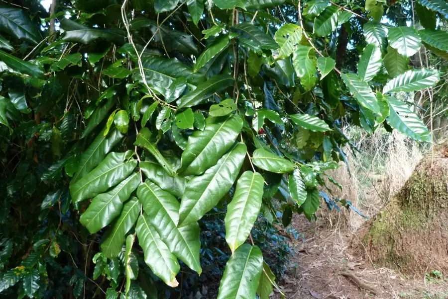
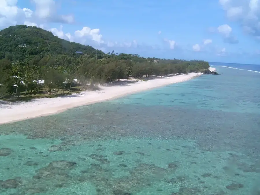
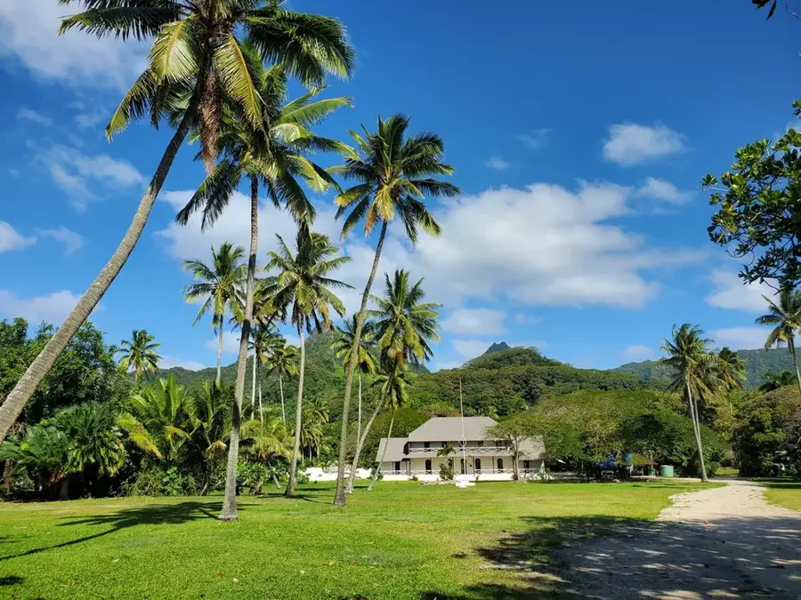
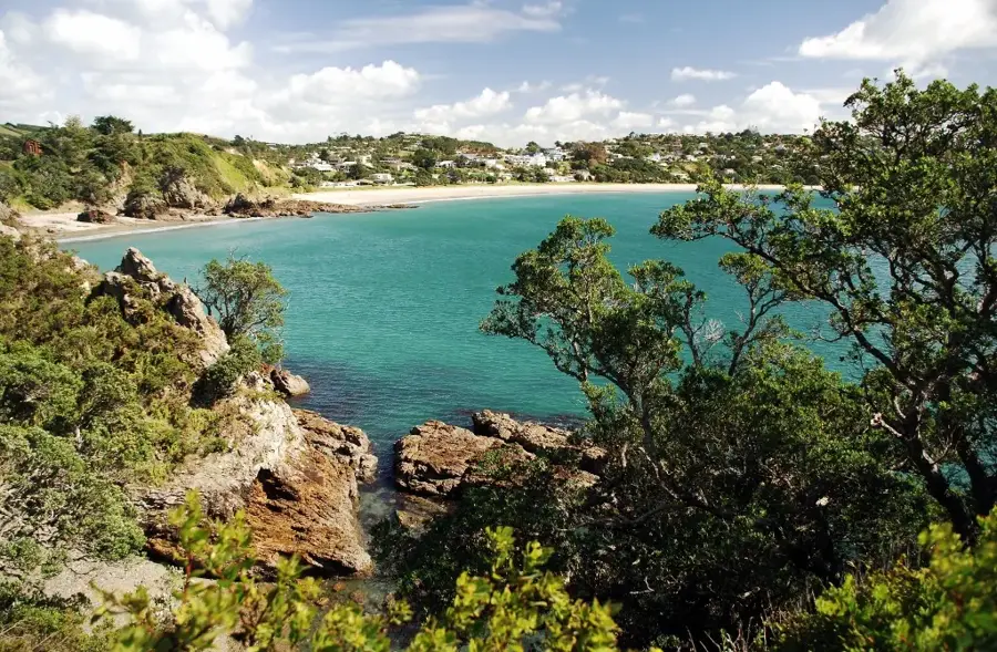
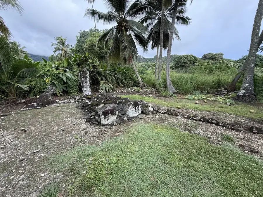
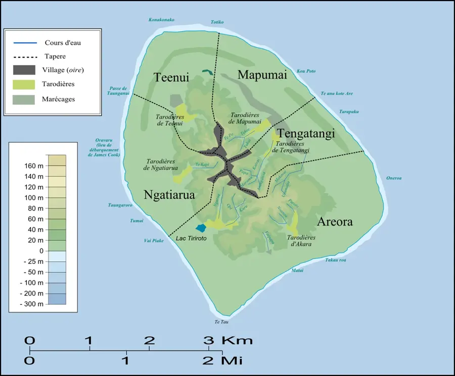
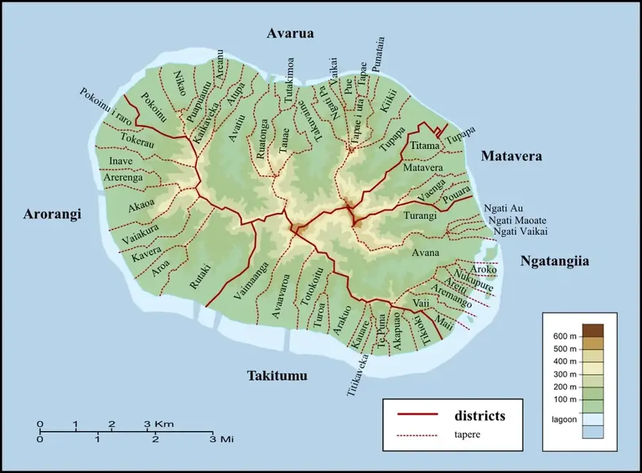
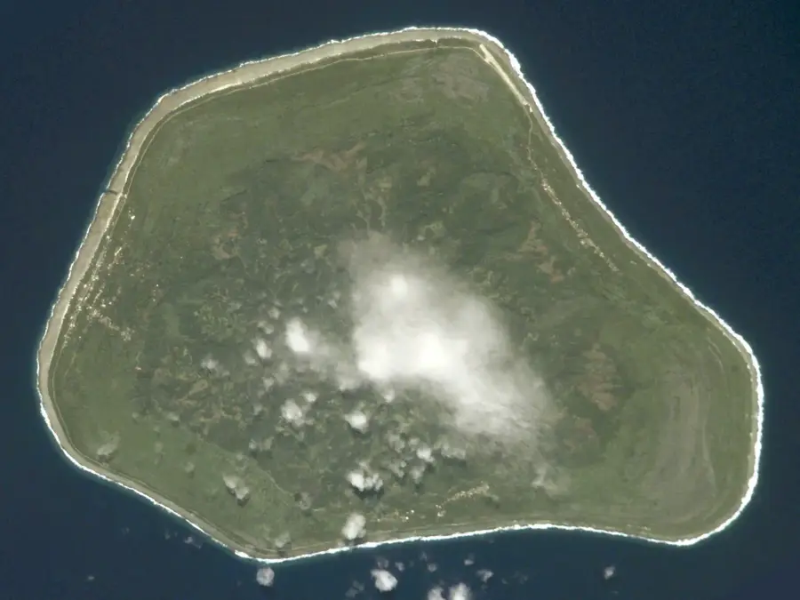
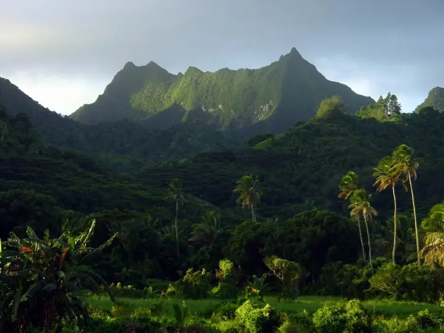
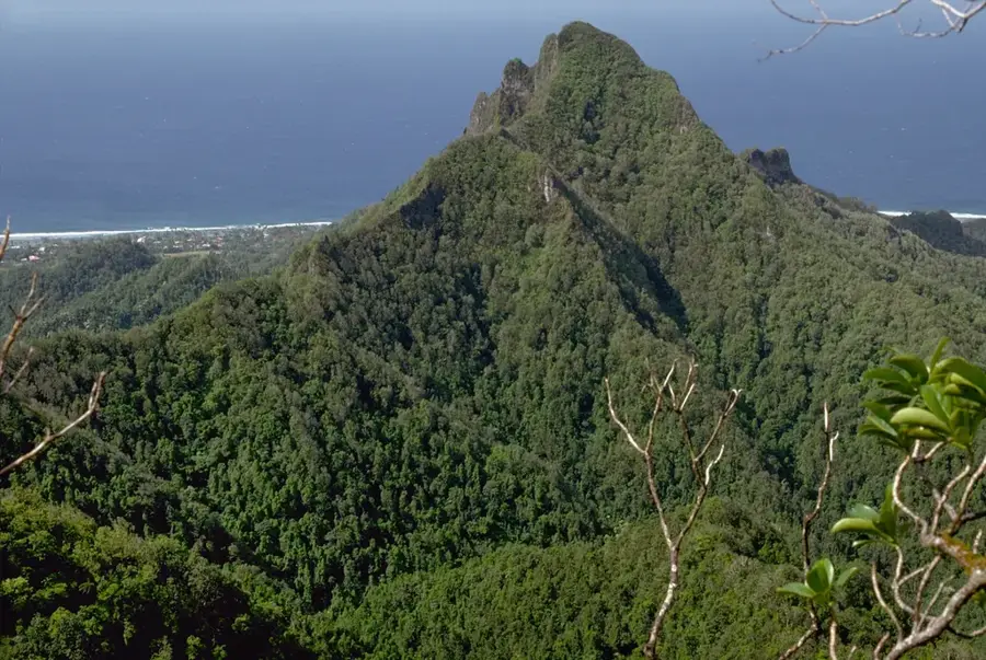
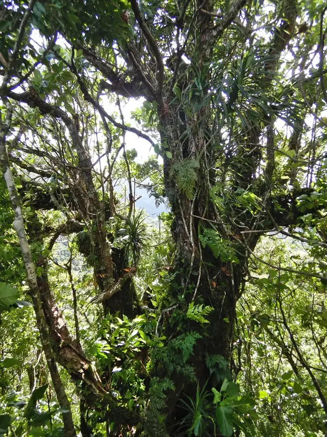
Rangimotia is the highest point on the island of Mangaia, reaching an elevation of 169 meters. Mangaia is known as one of the oldest islands in the Pacific Basin, and this peak has a wide-open panoramic view over its unique geological structure. The island is defined by a massive outer rim of fossilized limestone known as Makatea. From the summit, visitors can clearly see the contrast between the fertile volcanic interior, where locals tend to taro patches in natural swamplands, and the jagged coral cliffs encircling the coast. Access to Rangimotia is typically via unpaved tracks that wind through dense tropical vegetation, passing archaeological sites and local caves. The location holds significant cultural value for the people of Mangaia, having served as a strategic lookout point in the past. It is a handy destination for those seeking to understand the complexity of the Polynesian landscape far from conventional tourist trails.

Best time to visit & climate

The most pleasant time to visit is Jun, Aug, Sep.

JanFebMarAprMayJunJulAugSepOctNovDec
Avg °C262727262524232223232425
Rain mm1701841811461236586668683135170

📋 Practical info

🧭
Getting there
Reaching the highest point on Mangaia often involves driving or walking along unsealed interior dirt tracks. From the central island roads, short, unmarked footpaths usually lead to the actual panoramic viewpoint.
📅
Best season
Any time during the dry season (May to October) is convenient, offering clear skies for expansive views over the volcanic highlands. Wet weather makes the red clay soils of Mangaia extremely slippery and challenging for vehicles and walkers alike.
⛰️
Terrain & paths
The terrain consists of rolling hills, ancient volcanic rocks, and fern-covered slopes. The actual elevation is modest compared to other islands, making the walk relatively gentle, though the footing can be uneven in patches.
🎒
What to bring
Comfortable walking shoes or trail runners are usually sufficient for this terrain. Sun protection is crucial as the highlands lack dense tree cover, and carrying sufficient water is necessary since there are no facilities.
🅿️
Parking
If driving a rented 4x4 or scooter, vehicles are typically left on the grass beside the dirt tracks near the summit paths. Space is virtually unlimited, but ensure you park securely on level ground.
⚠️
Safety
The primary hazard is the intense tropical sun and the potential to slide on muddy tracks if caught in a shower. Wandering aimlessly in the central highlands can lead to getting temporarily lost, so keep landmarks in sight.
⏱️
Time needed
From the central unsealed roads, a walk up to the viewpoint and back is often achieved in under an hour. However, the bumpy drive from the coast to the interior starting point will add significant time to the journey.

Geography

Coordinates
-21.91610, -157.92540

Facts

  • Height: 432 m
  • Location: eastern mountain range
  • Rock type: basalt
  • Vegetation: rainforest
  • Hiking time: 3-4 hours
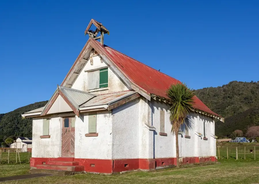
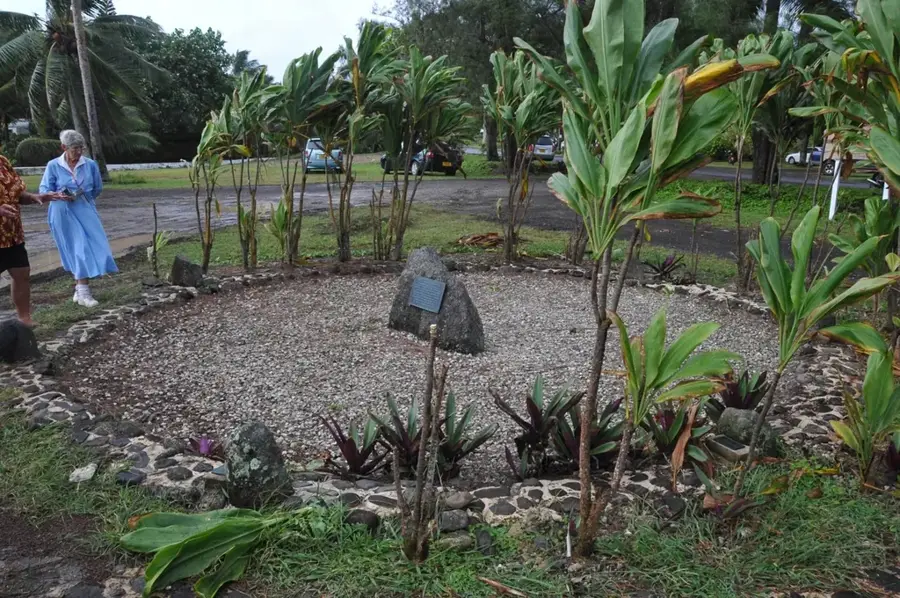
  • Historical sites: marae nearby

Explore nearby

Notable places around

Route planner — Car & Motorhome

Where do you start? We build the route here, with stops and country notes along the way.

Vehicle
Only stops with (optional):

© OpenStreetMap contributors · OpenRouteService

Sights in the town Rangimotia (1)

Rangimotia

Rangimotia is a mountain in New Zealand, located on the South Island.

Sights nearby

Frequently asked questions

Where is Rangimotia located?
It is the highest point on the island of Mangaia.
Can you reach the summit by car?
Yes, a gravel road leads almost all the way to the top.
What can you see from the summit?
A panoramic view of the entire island and the surrounding Makatea reef.
How high is Rangimotia?
It is approximately 169 meters high.
Is the site developed for tourism?
Very little; there are few signs or facilities on site.
Rangimotia: where is it located?
Rangimotia is located in Cook Islands.
Rangimotia: when is the best time to visit?
The most pleasant time to visit is Jun, Aug, Sep.
Rangimotia: why is it worth visiting?
Rangimotia is the highest point on the island of Mangaia, reaching an elevation of 169 meters.
View on map → The Top 50 Attractions → OpenStreetMap →
Oceania
Explore with Plizio Discover more places in Oceania
More places in Cook Islands →

Nearby cities

History & landmarks

Nature

More places