Plizio Visual Lab
Puerto Bolívar (Coal Port)
Weather…
Water temperature…
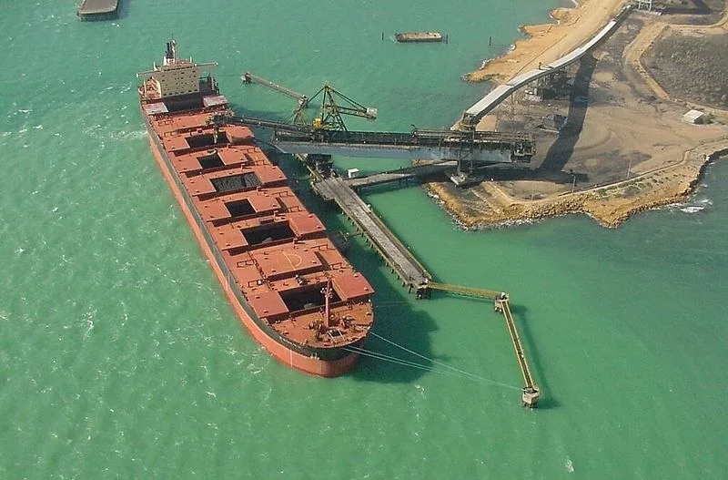
Puerto Bolívar is Colombia's largest coal export port, located at the northern tip of the La Guajira Peninsula on the Caribbean coast. It is the centerpiece of the logistical system for the Cerrejón mine, one of the world's largest open-pit coal mining operations. The port is directly connected to the mine via a 150-kilometer-long private railway line. The infrastructure includes state-of-the-art loading facilities that allow for continuous and dust-free loading of Capesize-class vessels. Puerto Bolívar plays a crucial role in the national economy, as coal is one of Colombia's primary export commodities. Despite its importance, the port is under scrutiny due to environmental impacts on the fragile desert ecosystem and its relationship with the indigenous Wayuu population. Commitment to sustainable mining practices and social responsibility is a central aspect of operations in this remote region.
- Location: Colombia
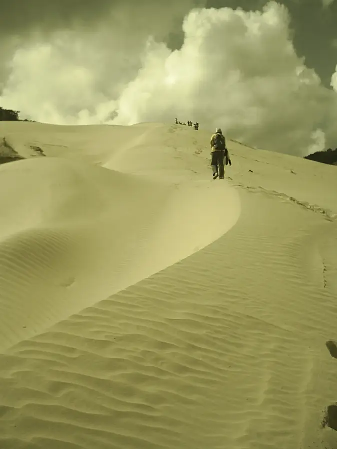
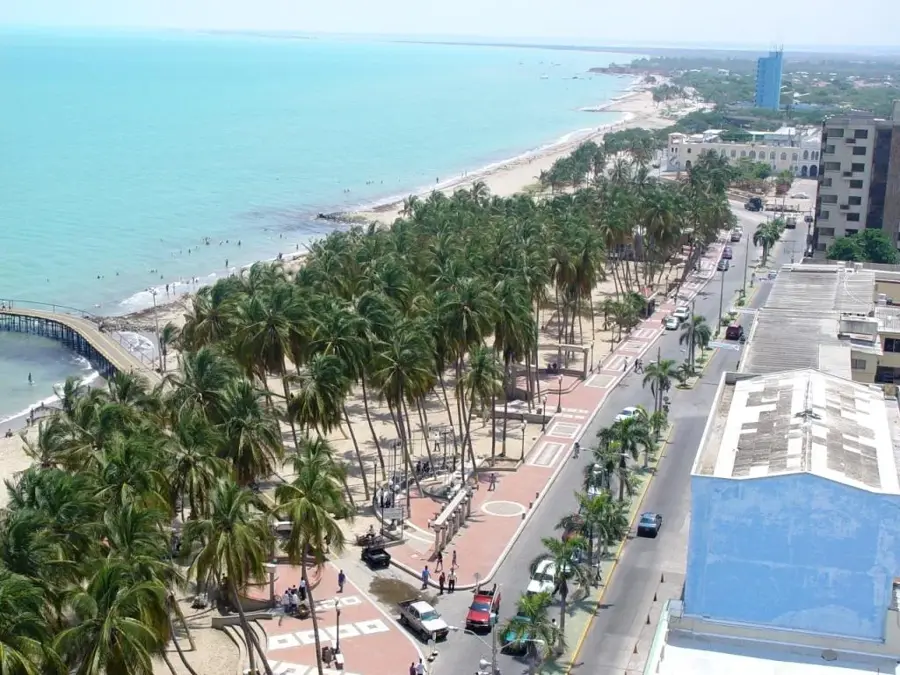
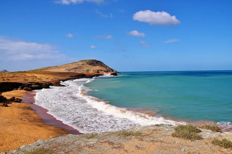
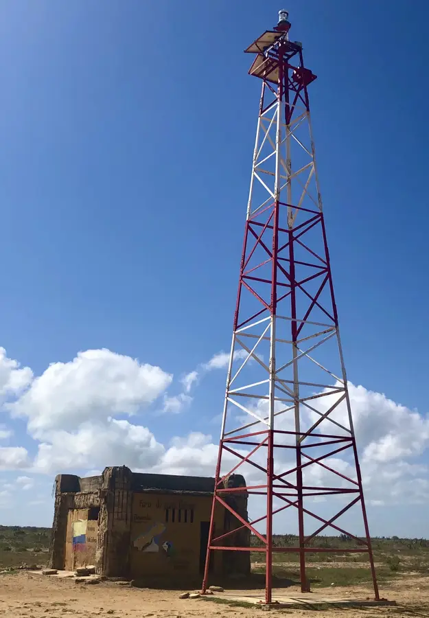
- Top sights: Bahía Puerto Bolívar · Playa Puerto Bolívar · Faro Punta La Lata
- Nearby: Cabo de la Vela (19 km)
Best time to visit & climate
The most pleasant time to visit is Jan–Mar.
| Jan | Feb | Mar | Apr | May | Jun | Jul | Aug | Sep | Oct | Nov | Dec | |
|---|---|---|---|---|---|---|---|---|---|---|---|---|
| Avg °C | 26 | 26 | 26 | 27 | 28 | 28 | 28 | 28 | 29 | 28 | 28 | 27 |
| Rain mm | 11 | 5 | 7 | 16 | 51 | 38 | 28 | 47 | 82 | 129 | 93 | 41 |
📋 Practical info
Geography
Facts
- The port was built in the 1980s for the export of thermal coal.
- It can accommodate vessels with a deadweight capacity of up to 175,000 tons.
- The loading capacity is approximately 6,000 tons of coal per hour.
- The channel has a natural depth that does not require constant dredging.
- The port features its own desalination plant for water supply.
- Approximately 30 million tons of coal are shipped from here annually.
Explore nearby
Notable places around
Route planner — Car & Motorhome
Where do you start? We build the route here, with stops and country notes along the way.
© OpenStreetMap contributors · OpenRouteService
Sights in the town Puerto Bolívar (Coal Port) (5)
Sights nearby
Frequently asked questions
What is Puerto Bolívar?
Where is this port located?
Are tourists allowed in the port?
How does the coal get there?
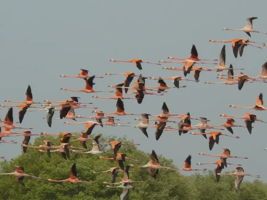
Are there natural attractions nearby?
Puerto Bolívar (Coal Port): where is it located?
Puerto Bolívar (Coal Port): what is there to see?
Puerto Bolívar (Coal Port): when is the best time to visit?
Puerto Bolívar (Coal Port): why is it worth visiting?

Nearby cities
History & landmarks
More places