Plizio Visual Lab
General Rafael Urdaneta Bridge
Weather…
Water temperature…
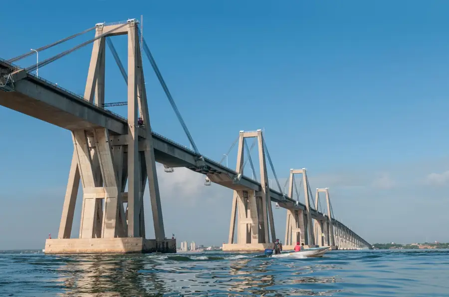
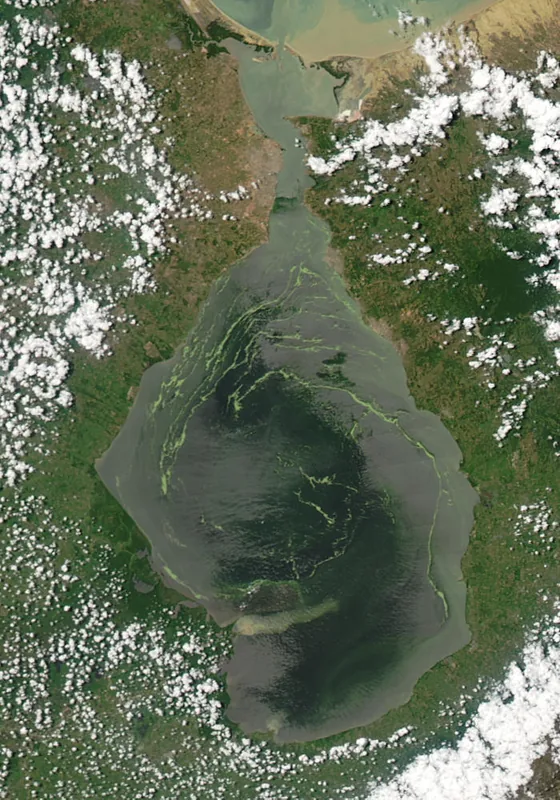
The General Rafael Urdaneta Bridge is a massive prestressed concrete structure crossing the Tablazo Strait at the mouth of Lake Maracaibo. Stretching for 8,678 meters, it serves as a critical transportation link between the city of Maracaibo and the eastern part of Venezuela. Opened on August 24, 1962, it was designed by the acclaimed Italian engineer Riccardo Morandi and remains one of the largest concrete bridges in the world. The bridge features 135 spans, with five main navigation sections that reach a height of 45 meters above the water to accommodate international shipping. Its history is marked by a 1964 disaster when the oil tanker Esso Maracaibo collided with the bridge, causing two piers to collapse. Today, it stands as a symbol of regional identity and a vital artery for the transport of agricultural and industrial goods.
- Location: Venezuela
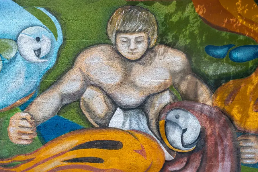
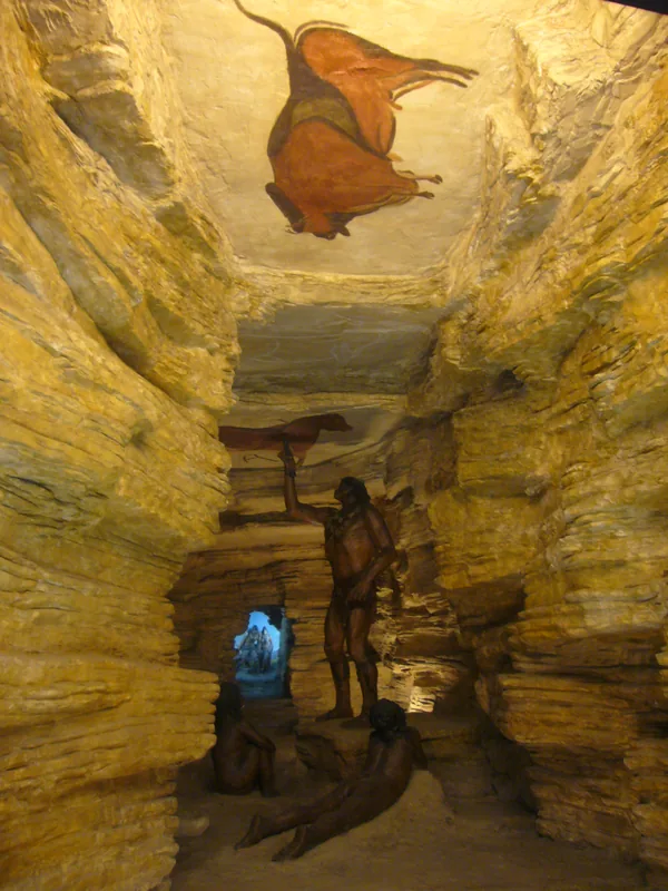
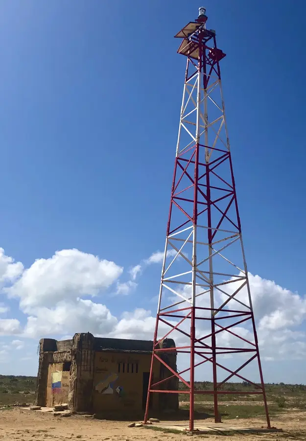
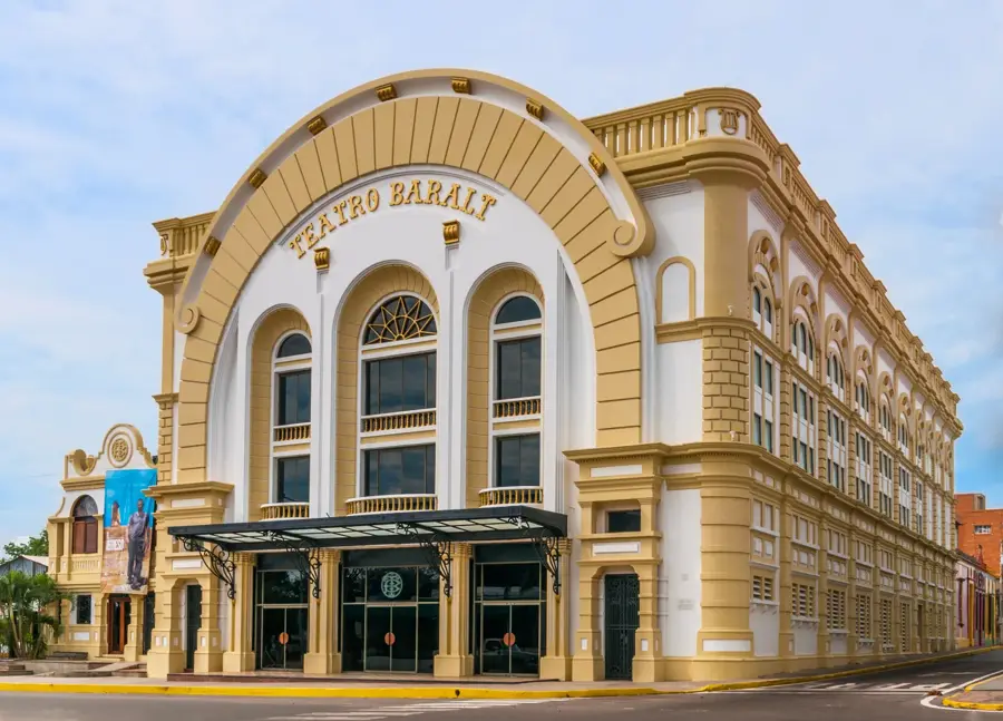
- Top sights: Museo Conoce Tu Puente · Refugio de Fauna Silvestre Ciénaga de la Palmita · Antiguo Leprocomio de Venezuela
Best time to visit & climate
The most pleasant time to visit is Jan, Feb, Dec.
| Jan | Feb | Mar | Apr | May | Jun | Jul | Aug | Sep | Oct | Nov | Dec | |
|---|---|---|---|---|---|---|---|---|---|---|---|---|
| Avg °C | 28 | 29 | 30 | 30 | 30 | 30 | 31 | 31 | 30 | 29 | 28 | 28 |
| Rain mm | 16 | 11 | 29 | 54 | 82 | 51 | 52 | 62 | 95 | 130 | 84 | 39 |
📋 Practical info
Geography
Facts
- The bridge spans a total distance of 8,678 meters (5.39 miles).
- It was inaugurated on August 24, 1962, by President Rómulo Betancourt.
- There are 135 separate spans supported by concrete piers.
- The vertical clearance for shipping vessels is 45 meters.
- The design utilizes a specific cable-stayed system developed by Morandi.
- More than 3 million cubic meters of concrete were used in construction.
Explore nearby
Notable places around
Route planner — Car & Motorhome
Where do you start? We build the route here, with stops and country notes along the way.
© OpenStreetMap contributors · OpenRouteService
Sights in the town General Rafael Urdaneta Bridge (6)
Sights nearby
Frequently asked questions
What is special about the bridge?
Can you walk across it?
Where is it?
Is it illuminated?
Is there a toll?
General Rafael Urdaneta Bridge: where is it located?
General Rafael Urdaneta Bridge: what is there to see?
General Rafael Urdaneta Bridge: when is the best time to visit?
General Rafael Urdaneta Bridge: why is it worth visiting?

Nearby cities
History & landmarks
Nature
More places