Plizio Visual Lab
Qinling Mountains

Weather…
Water temperature…
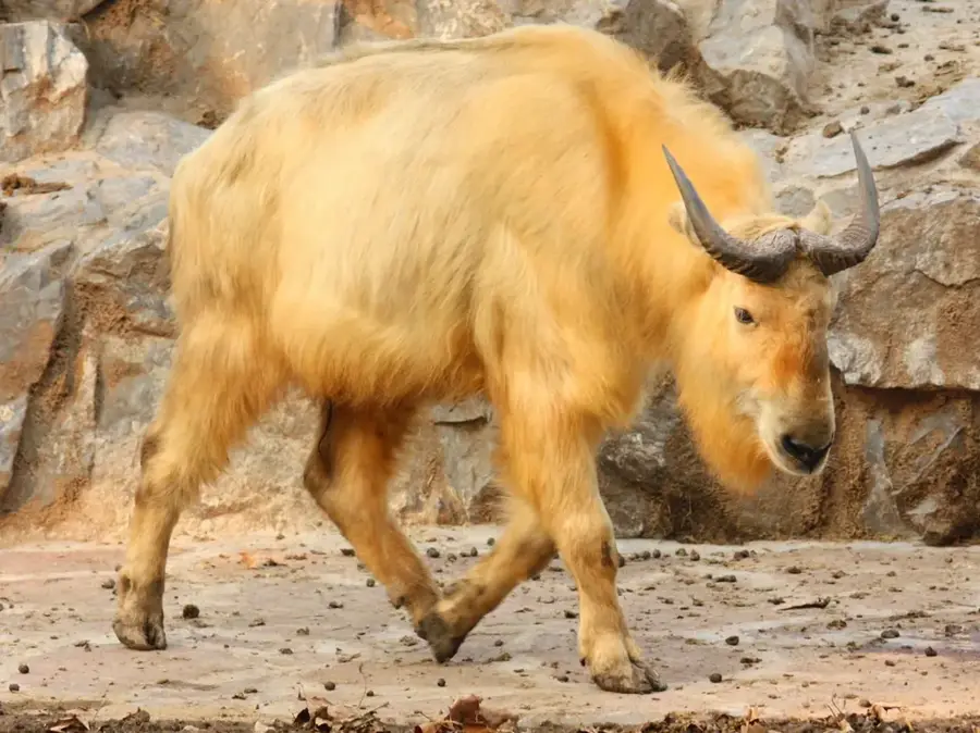
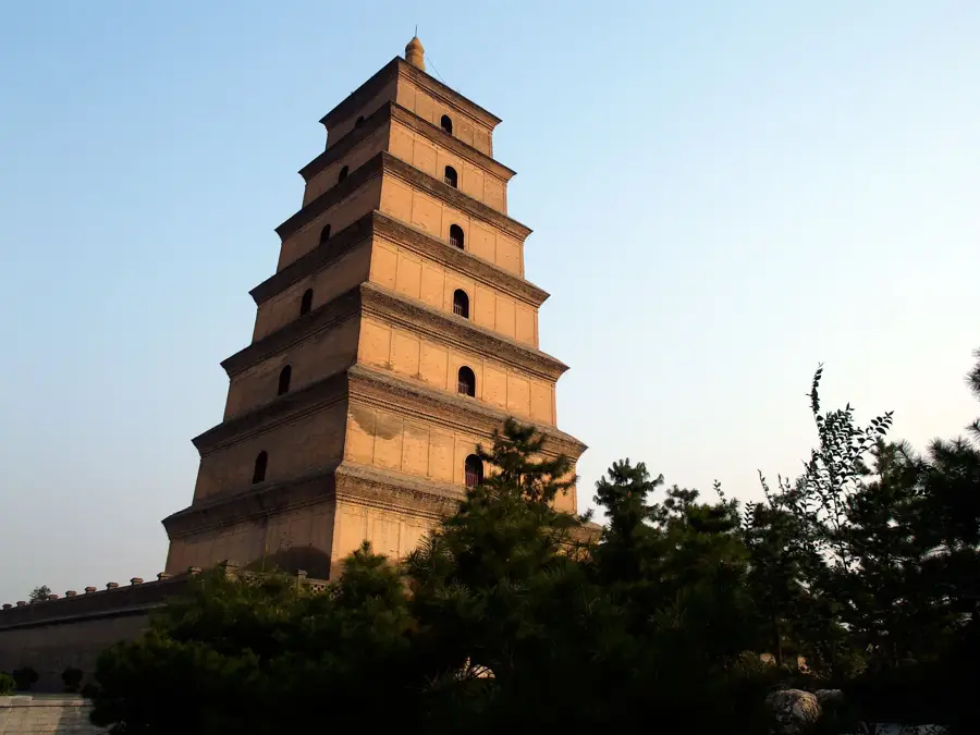
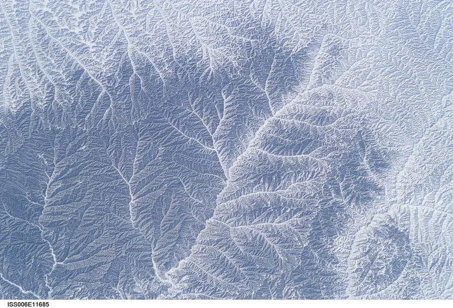
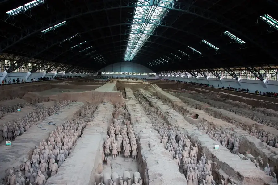
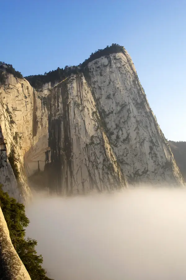
The Qinling Mountains are a major east-west mountain range in Central China that serves as the definitive natural boundary between the north and south of the country. Stretching for about 1,600 kilometers, the range peaks at Mount Taibai, which rises to 3,767 meters above sea level. Climatologically, the mountains act as a massive barrier, shielding the southern regions from cold Siberian air masses and trapping moist summer monsoons, which results in distinct ecological zones on either side. The Qinling-Huai River line is the official marker for the transition from wheat farming in the north to rice cultivation in the south. The range is a global biodiversity hotspot, providing a critical sanctuary for the Qinling panda, the golden snub-nosed monkey, and the crested ibis. Geologically, it was formed by the collision of the North China and Yangtze tectonic plates. Historically, it provided a defensive wall for the ancient capital of Xi'an and remains a significant site for Taoist and Buddhist pilgrimage.
Best time to visit & climate
The most pleasant time to visit is Jun–Aug.
| Jan | Feb | Mar | Apr | May | Jun | Jul | Aug | Sep | Oct | Nov | Dec | |
|---|---|---|---|---|---|---|---|---|---|---|---|---|
| Avg °C | -3 | 0 | 6 | 12 | 16 | 21 | 22 | 21 | 16 | 11 | 4 | -2 |
| Rain mm | 7 | 13 | 25 | 46 | 83 | 97 | 141 | 129 | 145 | 68 | 27 | 5 |
📋 Practical info
Geography
Facts
- The mountain range is approximately 1,600 kilometers long.
- The highest peak, Mount Taibai, reaches 3,767 meters.
- It separates the Yellow River and Yangtze River basins.
- Home to the distinct brown-and-white Qinling panda subspecies.
- The range marks the 800mm annual precipitation isohyet.
- It serves as a critical buffer for the South-to-North Water Diversion.
Explore nearby
Notable places around
Route planner — Car & Motorhome
Where do you start? We build the route here, with stops and country notes along the way.
© OpenStreetMap contributors · OpenRouteService
Sights nearby
Frequently asked questions
Why are the Qinling Mountains geographically important?
What rare animals live here?
Can you go hiking in the Qinling Mountains?
How does the climate differ north and south?
Are there historical sites?
Qinling Mountains: where is it located?
Qinling Mountains: when is the best time to visit?
Qinling Mountains: why is it worth visiting?

More places