Plizio Visual Lab
Loess Plateau
Weather…
Water temperature…
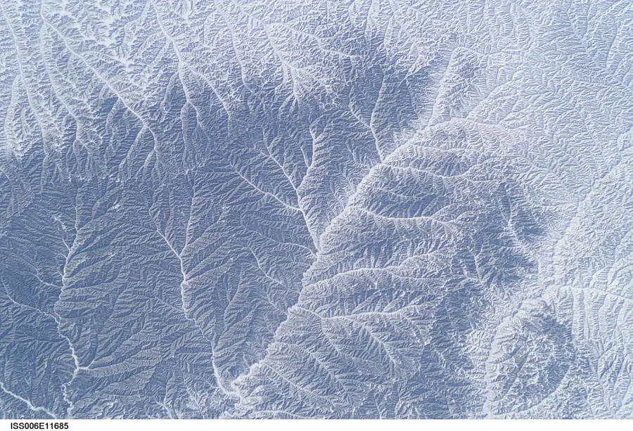
The Loess Plateau in North China covers approximately 640,000 square kilometers, making it the largest and deepest accumulation of wind-blown silt in the world. Formed over millions of years by dust carried from the Gobi Desert, the loess layers reach thicknesses of up to 300 meters in some regions of Shaanxi and Shanxi provinces. The plateau is highly susceptible to erosion, resulting in a dramatic landscape of deeply incised gullies, ridges, and mounds. It is drained by the Yellow River, which derives its name and immense sediment load from the silt it washes away from this fragile terrain. Historically, the plateau is regarded as the cradle of Chinese civilization, where fertile soils supported early agricultural development. A unique cultural feature is the 'yaodong' or cave dwelling, excavated into the loess hillsides, which has provided naturally insulated housing for millions of inhabitants for centuries.
Best time to visit & climate
The most pleasant time to visit is May, Jun, Aug.
| Jan | Feb | Mar | Apr | May | Jun | Jul | Aug | Sep | Oct | Nov | Dec | |
|---|---|---|---|---|---|---|---|---|---|---|---|---|
| Avg °C | -5 | -1 | 4 | 11 | 16 | 21 | 23 | 21 | 16 | 10 | 3 | -4 |
| Rain mm | 6 | 10 | 14 | 31 | 50 | 75 | 133 | 120 | 102 | 45 | 19 | 4 |
📋 Practical info
Geography
Facts
- The plateau covers a vast area of 640,000 square kilometers.
- Loess deposits reach a maximum depth of approximately 300 meters.
- The Yellow River carries 1.6 billion tons of sediment from here annually.
- It is considered the primary cradle of the Chinese ethnic group.
- Traditional cave dwellings (yaodongs) are still inhabited by millions.
- Green Wall of China projects have successfully reduced soil loss.
Explore nearby
Notable places around
Route planner — Car & Motorhome
Where do you start? We build the route here, with stops and country notes along the way.
© OpenStreetMap contributors · OpenRouteService
Sights nearby
Frequently asked questions
What is loess?
Why is the Yellow River yellow?
What are Yaodongs?
Is the plateau ecologically endangered?
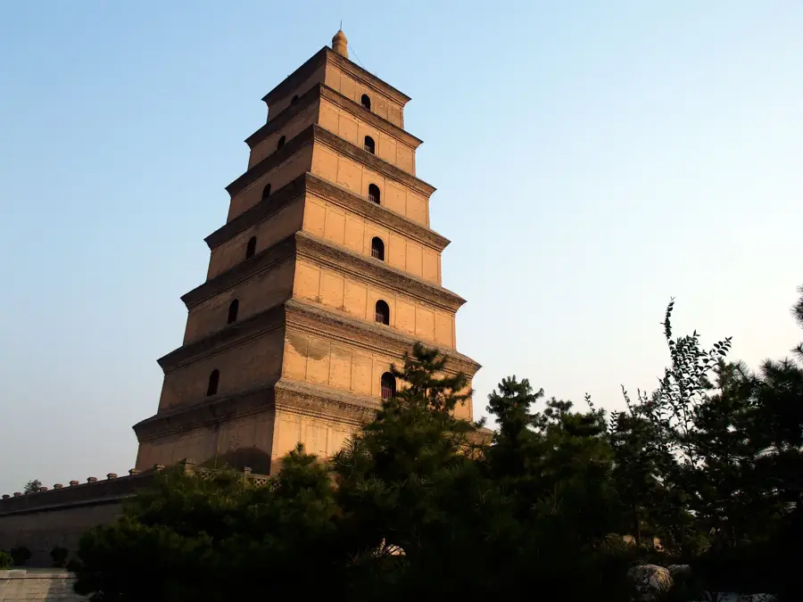
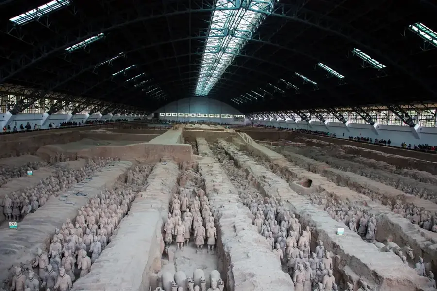
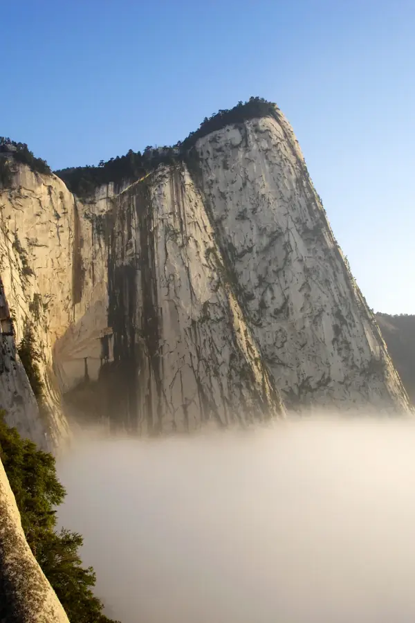
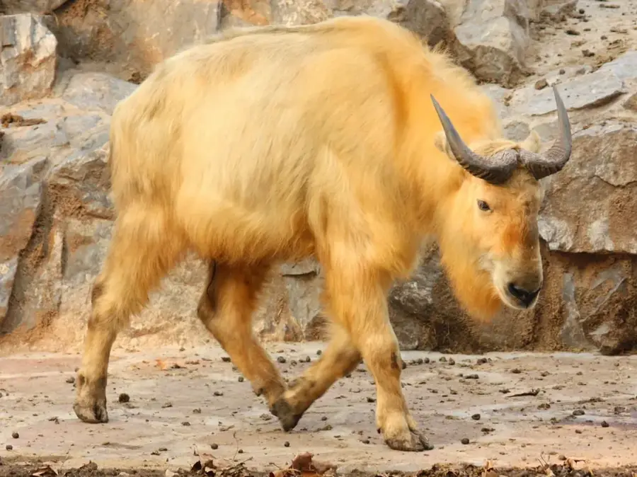
What can you see as a tourist?
Loess Plateau: where is it located?
Loess Plateau: when is the best time to visit?
Loess Plateau: why is it worth visiting?

More places