Plizio Visual Lab
Bangassou
ℹ️Practical info — Bangassou
▾
🌤 Weather — 5 days
📍 Nearby
Sights nearby
💡 Tips
- The Mbomou river marks the border with DR Congo, so expect border controls on the banks.
- Roads from Bangui to Bangassou are rough; traveling during the dry season is recommended.
- Visit the local market early in the morning to beat the midday heat.
- Cash is essential here; ensure you have enough local currency (CFA Francs).
- French and Sango are the main languages; a few words of Sango will be very helpful.
🍽 Food
Find them at street food stalls in the center.
Served in local eateries near the Mbomou river.
Fresh at the Bangassou main market.
🛍 Shopping · 🧘 Quiet spots
At the stalls of local artisans.
At the bustling central market.
Find a quiet spot away from the ferry crossing.
A peaceful area for a stroll.
Water temperature…
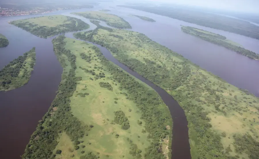
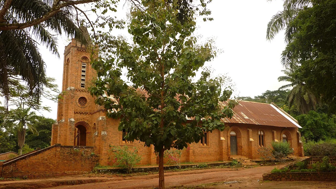
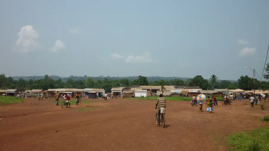
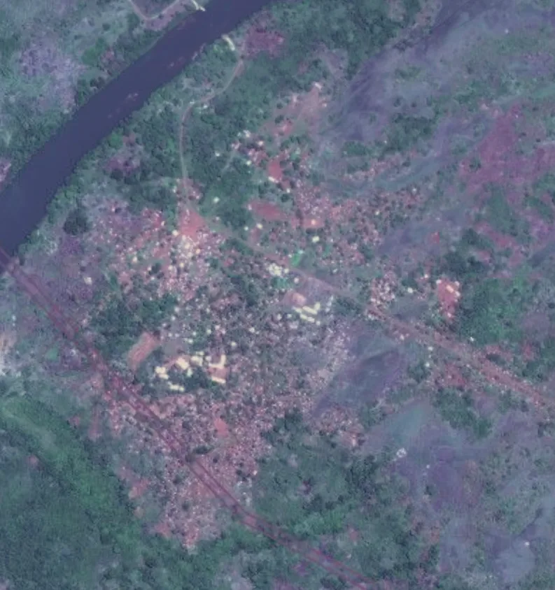
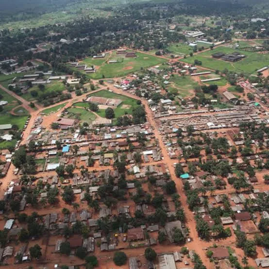
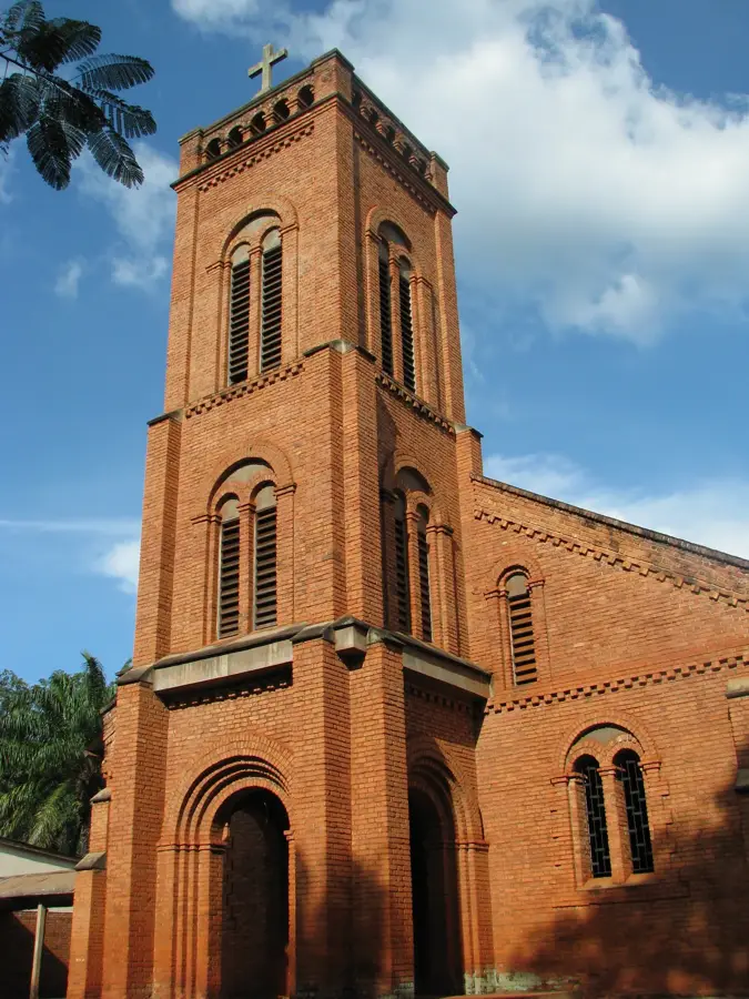
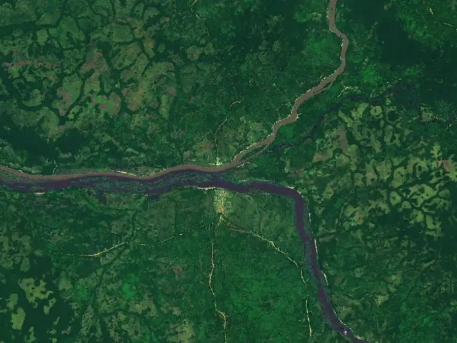
Bangassou is the capital of the Mbomou prefecture in southeastern Central African Republic, located directly on the Mbomou River, which marks the border with the Democratic Republic of the Congo. The city is a crucial border trading post and serves as the primary supply center for the remote eastern regions of the country. A major geographic highlight nearby is the Kembé Falls, one of the most beautiful natural features in the area. Historically, Bangassou was famous for coffee and rubber production, though today the economy is driven more by trade and subsistence farming. The city is served by its own airport and a ferry that connects it to the opposite bank in Congo, facilitating international exchange. The Catholic Diocese of Bangassou plays a central role in the social fabric, particularly through its management of schools and hospitals. Despite its distance from the national capital, Bangassou maintains a spirited atmosphere shaped by the constant movement of goods and people across the river border.
- Location: Central African Republic
- Top sights: Diocese of Bangassou · St. Peter Claver Cathedral, Bangassou
- Nearby: Gambo (63 km)
- Population: ~54.059 (2026)
Best time to visit & climate
The most pleasant time to visit is Jan, Nov, Dec.
| Jan | Feb | Mar | Apr | May | Jun | Jul | Aug | Sep | Oct | Nov | Dec | |
|---|---|---|---|---|---|---|---|---|---|---|---|---|
| Avg °C | 27 | 28 | 27 | 26 | 26 | 25 | 24 | 24 | 24 | 24 | 25 | 25 |
| Rain mm | 14 | 45 | 112 | 158 | 181 | 155 | 153 | 178 | 168 | 211 | 82 | 13 |
Geography
Facts
- Bangassou is the administrative capital of the Mbomou prefecture.
- The city sits on the Mbomou River, bordering the DR Congo.
- The scenic Kembé Falls are located on the Kotto River near the city.
- Bangassou Airport (IATA: BGU) serves the town and region.
- It is a major gateway for cross-border trade in the southeast.
- The city is located approximately 730 kilometers east of Bangui.
Explore nearby
Notable places around
Route planner — Car & Motorhome
Where do you start? We build the route here, with stops and country notes along the way.
© OpenStreetMap contributors · OpenRouteService
Sights in the town Bangassou (2)
Frequently asked questions
Where is Bangassou located?
What is the most famous nature attraction nearby?
How do you cross the border to the DR Congo?
What role does the Catholic Diocese play?
How is the infrastructure?
Bangassou: where is it located?
Bangassou: what is there to see?
Bangassou: when is the best time to visit?
Bangassou: why is it worth visiting?

Nearby cities
History & landmarks
Nature
More places