Plizio Visual Lab
Kaga-Bandoro

ℹ️Practical info — Kaga-Bandoro
▾
🌤 Weather — 5 days
📍 Nearby
Sights nearby
💡 Tips
- Visit the central market mid-morning when it is liveliest and has the best selection.
- Traveling on the unpaved roads in the surrounding area is much easier in the dry season.
- Cash is king; make sure you carry enough small bills in CFA francs.
- Always check the current security situation with authorities or local guides before taking local trips.
🍽 Food
Look for this authentic dish at the food stalls around the marketplace.
The handy side dish for local sauces, served in almost every traditional inn in the city.
Towards evening, you will often find street vendors offering this spicy, grilled meat on skewers.
🛍 Shopping · 🧘 Quiet spots
As an important market location, you will find a large selection of agricultural products from the Nana-Grébizi prefecture here.
Look out for small wood carvings often sold by local artisans near the center.
A short walk out of the center leads to quieter areas surrounded by nature.
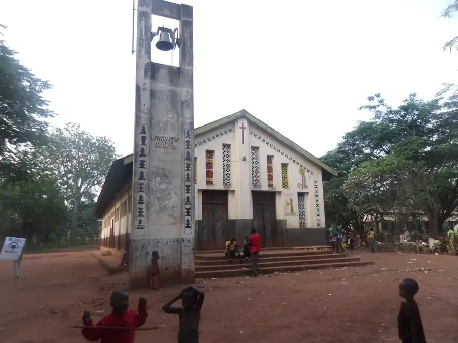
The grounds around the local churches often offer shady and quiet places to linger.
Water temperature…
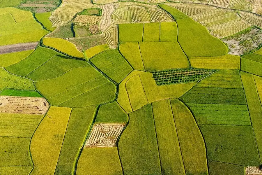
Kaga-Bandoro is the administrative center of the Nana-Grébizi prefecture in the central region of the Central African Republic. Situated at an average elevation of about 410 meters above sea level, the town serves as a vital crossroads for regional trade. It was originally established in 1913 as Fort Bandoro by French colonial forces to secure control over trade routes in this part of Central Africa. Today, the town is a major marketplace for agricultural products such as cassava, maize, and millet, as well as livestock, connecting surrounding rural communities with broader markets. Due to its strategic position on the roads linking the northern and southern parts of the country, the town holds significant logistical importance, though it has frequently been impacted by regional instability in recent years. The town's infrastructure includes schools and local government offices that are essential for providing services to the sparsely populated prefecture. The landscape around Kaga-Bandoro is defined by expansive savannahs that flourish with dense vegetation during the rainy season.
- Location: Central African Republic
- Nearby: Dékoa (68 km)
- Population: ~55.047 (2026)
Best time to visit & climate
The most pleasant time to visit is Jan, Nov, Dec.
| Jan | Feb | Mar | Apr | May | Jun | Jul | Aug | Sep | Oct | Nov | Dec | |
|---|---|---|---|---|---|---|---|---|---|---|---|---|
| Avg °C | 27 | 30 | 31 | 30 | 28 | 27 | 25 | 25 | 25 | 26 | 26 | 26 |
| Rain mm | 2 | 9 | 55 | 77 | 133 | 155 | 213 | 225 | 216 | 168 | 29 | 1 |
Geography
Facts
- Capital city of the Nana-Grébizi economic prefecture.
- Established in 1913 as Fort Bandoro by the French.
- Located at an average elevation of 410 meters.
- Key center for livestock trade in the central region.
- Strategic transportation hub connecting north and south.
- Major market for agricultural crops like millet and cassava.
Explore nearby
Notable places around
Route planner — Car & Motorhome
Where do you start? We build the route here, with stops and country notes along the way.
© OpenStreetMap contributors · OpenRouteService
Sights in the town Kaga-Bandoro (1)
Frequently asked questions
Where is Kaga-Bandoro located?
What role does the city play in trade?
Is there a presence of international organizations there?
What is the climate like?
Is Kaga-Bandoro recommended for travelers?
Kaga-Bandoro: where is it located?
Kaga-Bandoro: when is the best time to visit?
Kaga-Bandoro: why is it worth visiting?

Nearby cities
History & landmarks

More places