Plizio Visual Lab
Mobaye
ℹ️Practical info — Mobaye
▾
🌤 Weather — 5 days
📍 Nearby
Sights nearby
💡 Tips
- The city sits right on the Mbomou River; hiring a motorized pirogue gives great views of the border.
- Check out the impressive hydroelectric dam area, but ask permission before taking any photos.
- Cross-border traffic with the DRC makes the market lively, but keep your passport handy.
- The climate is very humid, so breathable clothing and mosquito repellent are absolutely necessary.
🍽 Food
The local catch of the day is often roasted whole and served at informal waterside spots.
A dense, sticky cassava dough that accompanies most traditional soups and stews.
A rich, savory soup made from palm fruit extract, commonly paired with fish.
🛍 Shopping · 🧘 Quiet spots
A spirited hub where goods from both the CAR and DRC are exchanged.
Buy neatly bundled smoked river fish, a staple for long-term storage.
Local artisans sell beautifully intricate baskets and traps used for river fishing.
Sit safely along the banks to watch the powerful water flow near the dam infrastructure.
Stroll slightly out of the main market area to find a peaceful stretch of the Mbomou riverbank.
Water temperature…
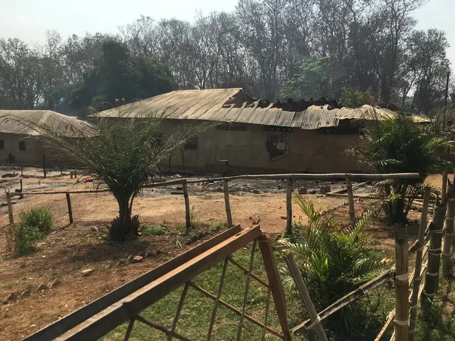
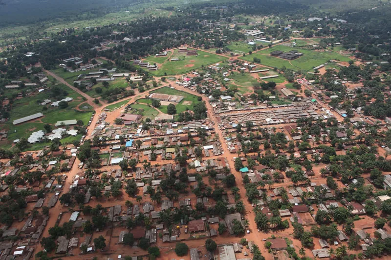
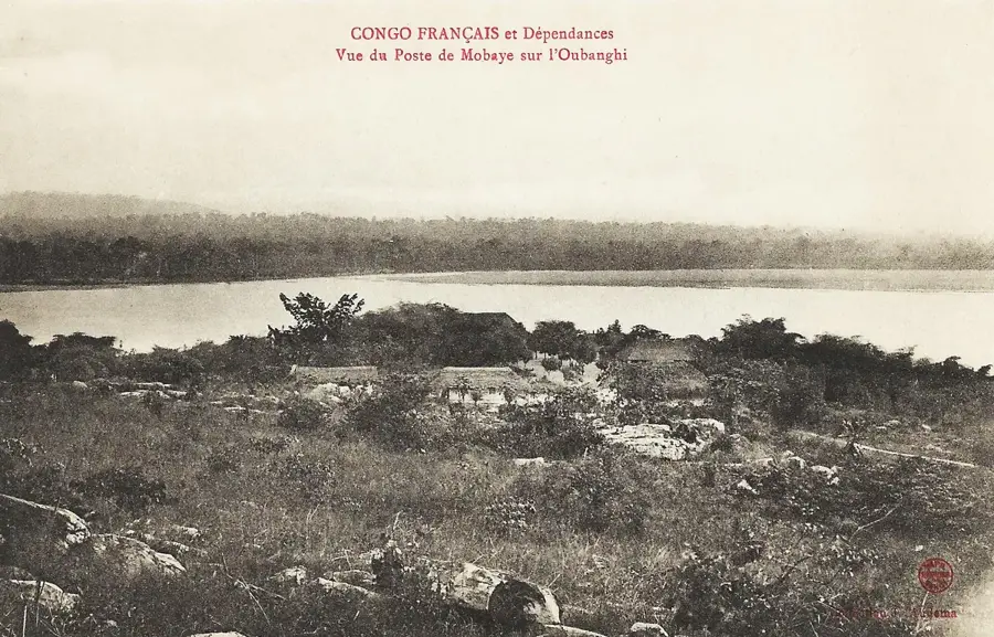
Mobaye is the capital of the Basse-Kotto prefecture in the southern part of the Central African Republic. The town is picturesquely situated on the right bank of the Ubangi River, which serves as the natural border with the Democratic Republic of the Congo. Founded in 1891 by French explorers, Mobaye developed into a significant post along the river. One of the key infrastructure features nearby is the Mobaye Dam, which holds substantial potential for hydroelectric power in the region. The local economy is driven by fishing in the Ubangi River, agriculture, and palm oil extraction. On the opposite side of the river lies the Congolese town of Mobaye-Mbongo, leading to a lively cross-border exchange of goods and people. Geographically, the town is located in a humid tropical zone with lush vegetation and numerous waterways. As an administrative center, Mobaye hosts the prefecture's government offices, schools, and medical facilities. The town is connected to the capital, Bangui, via both the river and road links, with water transport historically being the most reliable connection. The town's architecture reflects both colonial influences and traditional regional building styles.
- Location: Central African Republic
- Top sights: Mobayi-Mbongo · Mobayi-Mbongo (territory)
- Nearby: Alindao (74 km)
- Population: ~7.179 (2026)
Best time to visit & climate
The most pleasant time to visit is Jan, Feb, Dec.
| Jan | Feb | Mar | Apr | May | Jun | Jul | Aug | Sep | Oct | Nov | Dec | |
|---|---|---|---|---|---|---|---|---|---|---|---|---|
| Avg °C | 27 | 29 | 28 | 27 | 26 | 26 | 25 | 25 | 25 | 25 | 26 | 26 |
| Rain mm | 14 | 34 | 108 | 138 | 172 | 151 | 170 | 183 | 164 | 187 | 94 | 17 |
Geography
Facts
- Capital city of the Basse-Kotto prefecture in the south.
- Established in 1891 during French colonial exploration.
- Located on the right bank of the major Ubangi River.
- Border town adjacent to the Democratic Republic of Congo.
- Site of the Mobaye hydroelectric power dam.
- Significant regional hub for fishing and palm oil trade.
Explore nearby
Notable places around
Route planner — Car & Motorhome
Where do you start? We build the route here, with stops and country notes along the way.
© OpenStreetMap contributors · OpenRouteService
Frequently asked questions
Where is Mobaye located?
Is there a hydroelectric power plant there?
What is the economic basis of Mobaye?
How is the transport across the river?
Is Mobaye accessible for tourists?
Mobaye: where is it located?
Mobaye: what is there to see?
Mobaye: when is the best time to visit?
Mobaye: why is it worth visiting?