Plizio Visual Lab
Bangui
ℹ️Practical info — Bangui
▾
🌤 Weather — 5 days
📍 Nearby
Sights nearby
💡 Tips
- Taxis usually operate on shared routes; ask locals for the standard fare.
- The Oubangui River is central; riverside walks are best done during the day.
- Power and water outages can happen, so keep your devices charged.
- French is the official language, but Sango is widely spoken daily.
- Always carry a copy of your identification, as checkpoints are common.
🍽 Food
At restaurants right on the banks of the Oubangui.
In traditional eateries in the city center.
At street food stalls in residential neighborhoods.
🛍 Shopping · 🧘 Quiet spots
For colorful fabrics and daily goods.
For local wood carvings and handmade souvenirs.
Find quieter sections away from the bustling port.
Gives a relatively peaceful atmosphere with river views.
Water temperature…
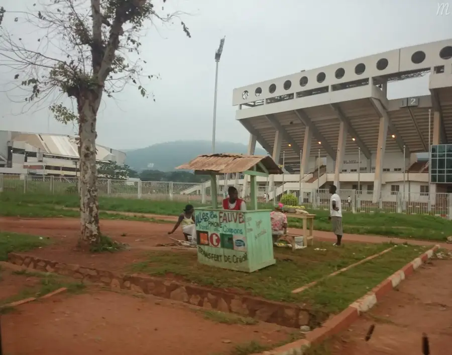
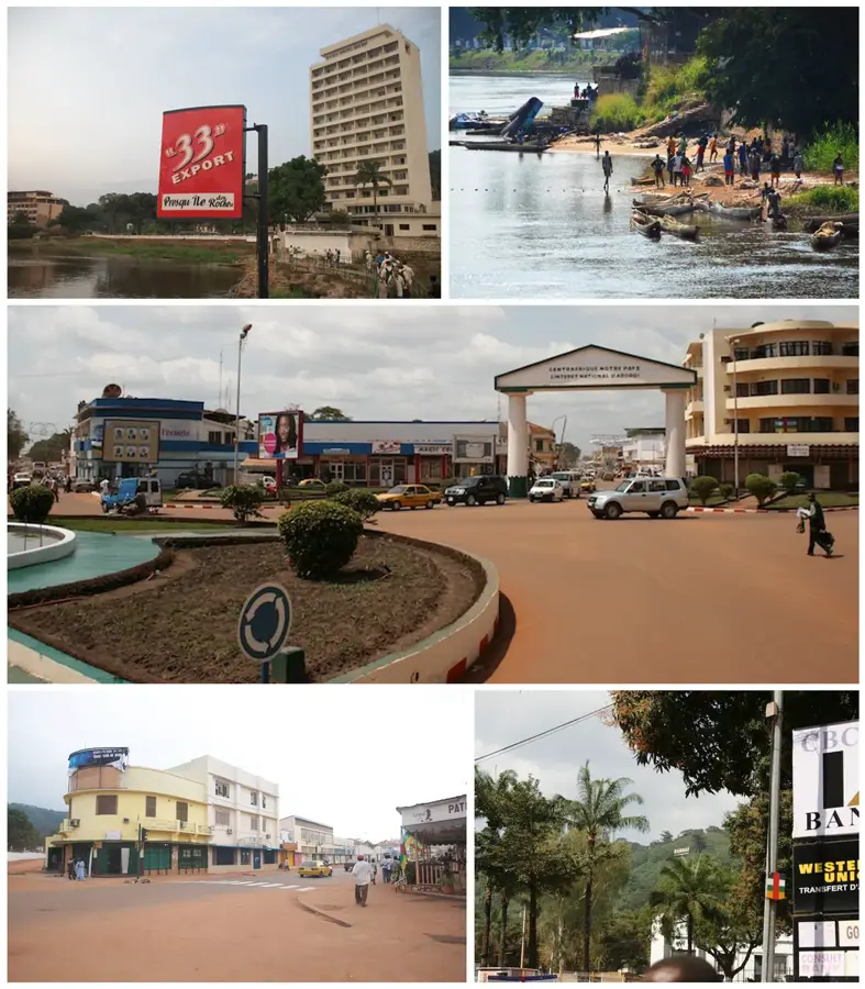
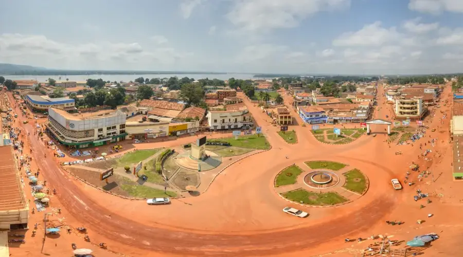
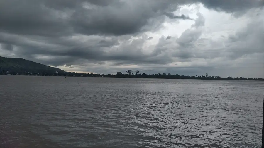
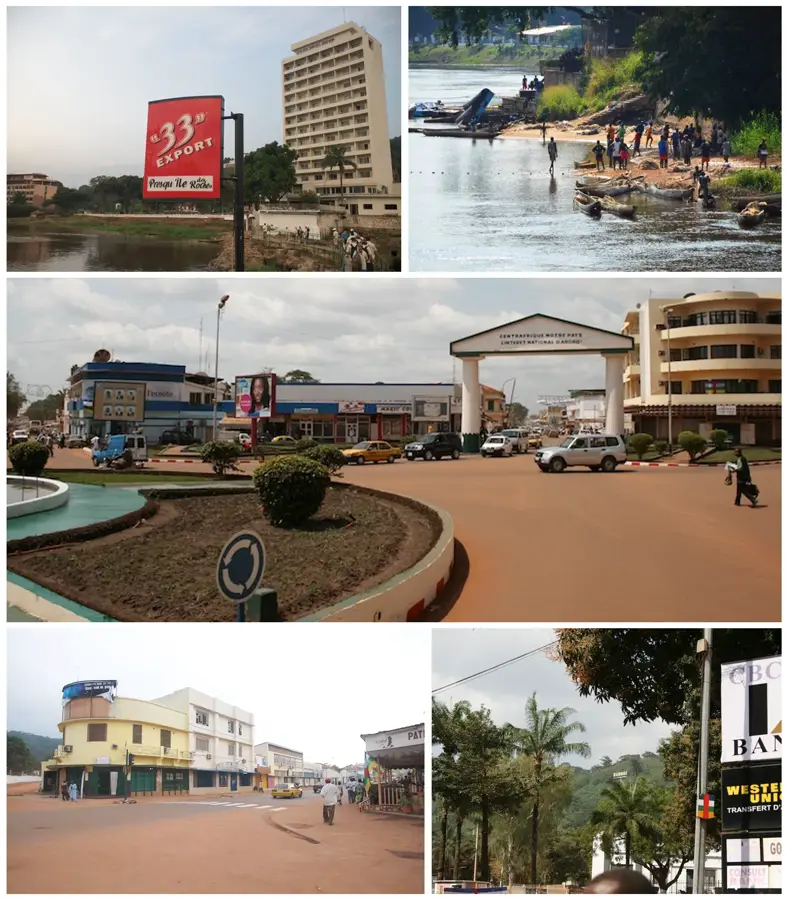
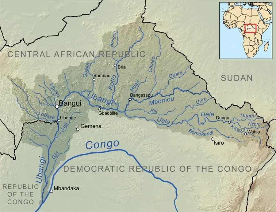
Bangui, the capital and largest city of the Central African Republic, is situated on the northern banks of the Ubangi River, directly facing the Congolese town of Zongo. Established by French colonists in 1889, the city’s name is derived from the rapids that mark a natural barrier to upstream navigation, effectively making Bangui the northernmost navigable port for trade coming from the Atlantic coast via the Congo River system. The city's geography is characterized by its riverside setting and the surrounding rolling hills covered in lush tropical greenery. Architecturally, Bangui features a core of French colonial-style buildings and wide avenues, known during the colonial era as 'Bangui la Coquette' (Bangui the Beautiful), though decades of political instability have impacted its infrastructure. Economically, the city serves as the country's primary commercial hub, facilitating the export of timber, cotton, and high-value minerals like diamonds and gold. The University of Bangui stands as the premier institution of higher learning, despite the significant challenges faced by the national education system. Culturally, the city is a melting pot of various ethnic groups, including the Baya, Banda, and Mandjia, which is reflected in its diverse markets and lively music scene, heavily influenced by Congolese Soukous. Key landmarks include the Presidential Palace, the Boganda Museum, and the striking red-brick Notre-Dame Cathedral. Bangui’s climate is tropical wet and dry, with a heavy rainy season that significantly influences local agriculture and river levels. While the city has faced hardship, it remains the vital center for international diplomacy and aid coordination in the region. The riverside life, with its bustling docks and traditional pirogues, continues to be the lifeblood of Bangui, connecting this landlocked nation to the wider world.
- Location: Central African Republic
- Top sights: Place des Nations Unies · Barthélémy Boganda · Salle omnisports
- Nearby: Bimbo (7 km)
- Population: ~812.407 (2023)
Best time to visit & climate
The most pleasant time to visit is Jan, Nov, Dec.
| Jan | Feb | Mar | Apr | May | Jun | Jul | Aug | Sep | Oct | Nov | Dec | |
|---|---|---|---|---|---|---|---|---|---|---|---|---|
| Avg °C | 27 | 29 | 28 | 27 | 27 | 26 | 25 | 25 | 25 | 25 | 26 | 26 |
| Rain mm | 8 | 50 | 96 | 107 | 125 | 144 | 187 | 209 | 158 | 193 | 77 | 12 |
Geography
Facts
- Bangui was founded in 1889 as a French military post on the Ubangi River.
- The city's name comes from the word for 'rapids' in the local language.
- Bangui is the seat of the University of Bangui, established in 1969.
- The city accounts for nearly 70% of the Central African Republic's GDP.
- It is situated at the coordinates 4°22′N 18°33′E.
- The Avenue de l'Indépendance is the city's main commercial artery.
- Bangui serves as a critical base for UN peacekeeping missions (MINUSCA).
- The city’s river port connects directly to Brazzaville, over 1,000 km away.
Explore nearby
Notable places around
Route planner — Car & Motorhome
Where do you start? We build the route here, with stops and country notes along the way.
© OpenStreetMap contributors · OpenRouteService
Sights in the town Bangui (4)
Frequently asked questions
What is the capital of the Central African Republic?
What can you visit in Bangui?
How do you get from the airport to the city?
What is a typical dish in Bangui?
Is Bangui safe for tourists?
Bangui: where is it located?
Bangui: what is there to see?
Bangui: when is the best time to visit?
Bangui: why is it worth visiting?

Nearby cities
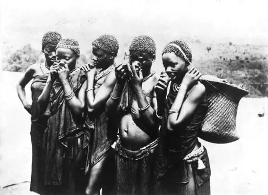
History & landmarks

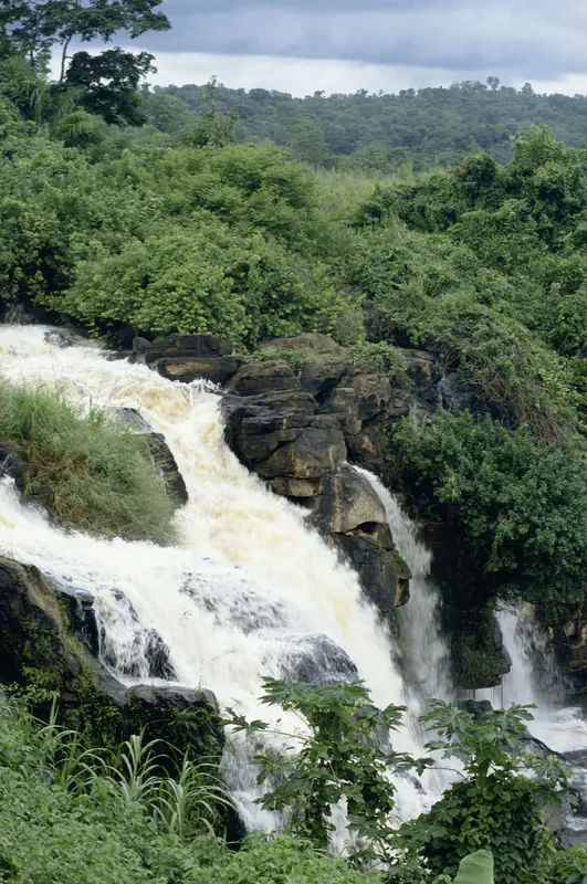
Nature
More places