Plizio Visual Lab
Fort de l'Ouham
Weather…
Water temperature…
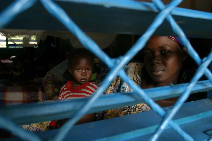
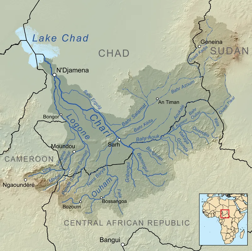
Fort de l'Ouham, now known as Bossangoa, was established at the beginning of the 20th century as a French military and administrative outpost in the northwestern part of the Central African Republic. Geographically, the site is strategically located on the banks of the Ouham River, allowing the colonial power to exert control over a highly fertile region. The fort served as a central hub for the economic exploitation of the area, specifically focused on the introduction and export of cotton crops. During the colonial era, Bossangoa was a key assembly point for the local population, who were frequently subjected to forced labor on plantations and road construction projects. Tensions between the colonial administration and the local communities frequently led to resistance movements throughout the region. Fort de l'Ouham also functioned as a vital logistical link between Bangui and the northern savanna regions leading toward Chad. The architecture of the former administrative buildings in Bossangoa still reflects the functional style of French overseas territories from that period. As the historical center of the Ouham region, the town remains a significant witness to the profound social and economic transformations of the colonial era.
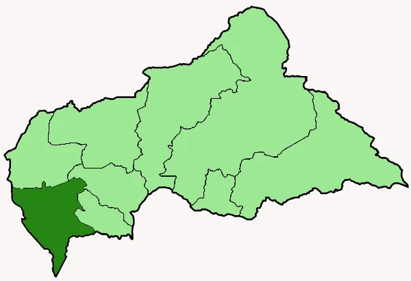
- Location: Central African Republic
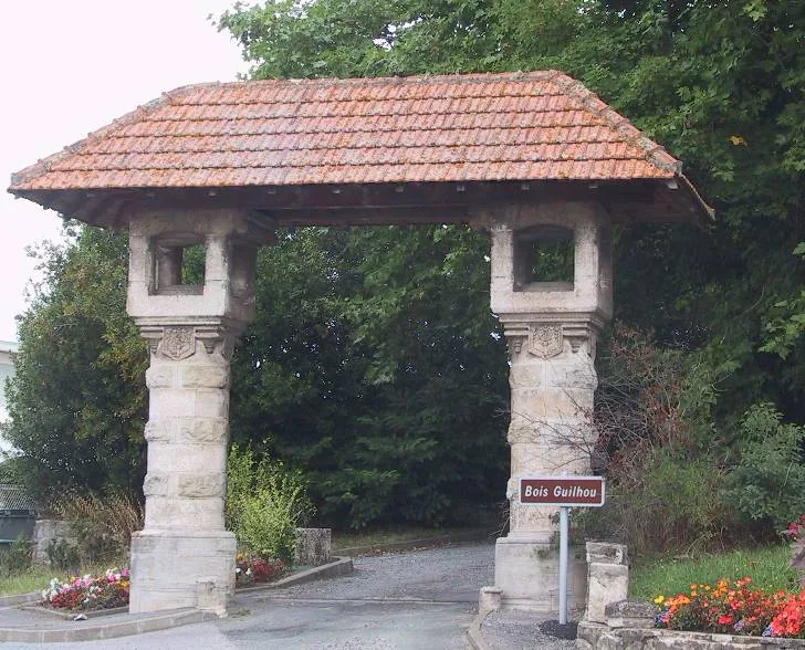
- Top sights: Diocese of Bossangoa · Bossangoa
- Nearby: Bouca (89 km)
Best time to visit & climate
The most pleasant time to visit is Jan, Nov, Dec.
| Jan | Feb | Mar | Apr | May | Jun | Jul | Aug | Sep | Oct | Nov | Dec | |
|---|---|---|---|---|---|---|---|---|---|---|---|---|
| Avg °C | 26 | 30 | 30 | 29 | 28 | 26 | 25 | 24 | 25 | 25 | 26 | 25 |
| Rain mm | 2 | 9 | 64 | 81 | 123 | 134 | 223 | 230 | 228 | 162 | 26 | 1 |
📋 Practical info
Geography
Facts
- Fort de l'Ouham was established as a colonial post around the year 1900.
- The site is positioned on the fertile banks of the Ouham River.
- Bossangoa became one of the primary centers for cotton production.
- The region was a focal point for local resistance movements in the 1920s.
- The fort controlled the main overland route from Bangui to Lake Chad.
- Bossangoa currently serves as the capital of the Ouham prefecture.
Explore nearby
Notable places around
Route planner — Car & Motorhome
Where do you start? We build the route here, with stops and country notes along the way.
© OpenStreetMap contributors · OpenRouteService
Sights in the town Fort de l'Ouham (2)
Sights nearby
Frequently asked questions
What is the Fort de l'Ouham?
What is left of the fort?
When was it built?
Are there museums there?
How do you reach Bossangoa?
Fort de l'Ouham: where is it located?
Fort de l'Ouham: what is there to see?
Fort de l'Ouham: when is the best time to visit?
Fort de l'Ouham: why is it worth visiting?

Nearby cities

History & landmarks
Nature
More places