Plizio Visual Lab
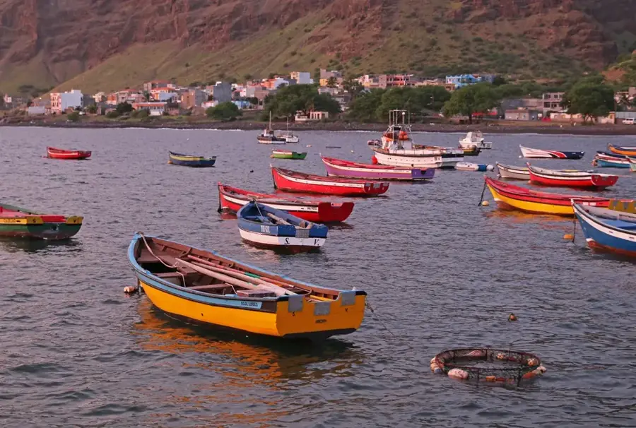
Port of Tarrafal (São Nicolau)
Weather…
Water temperature…
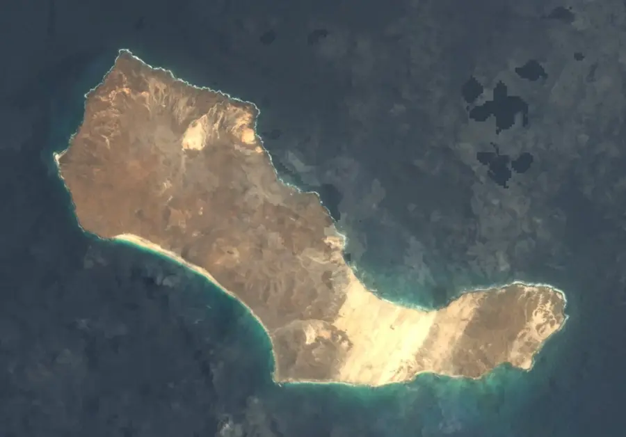
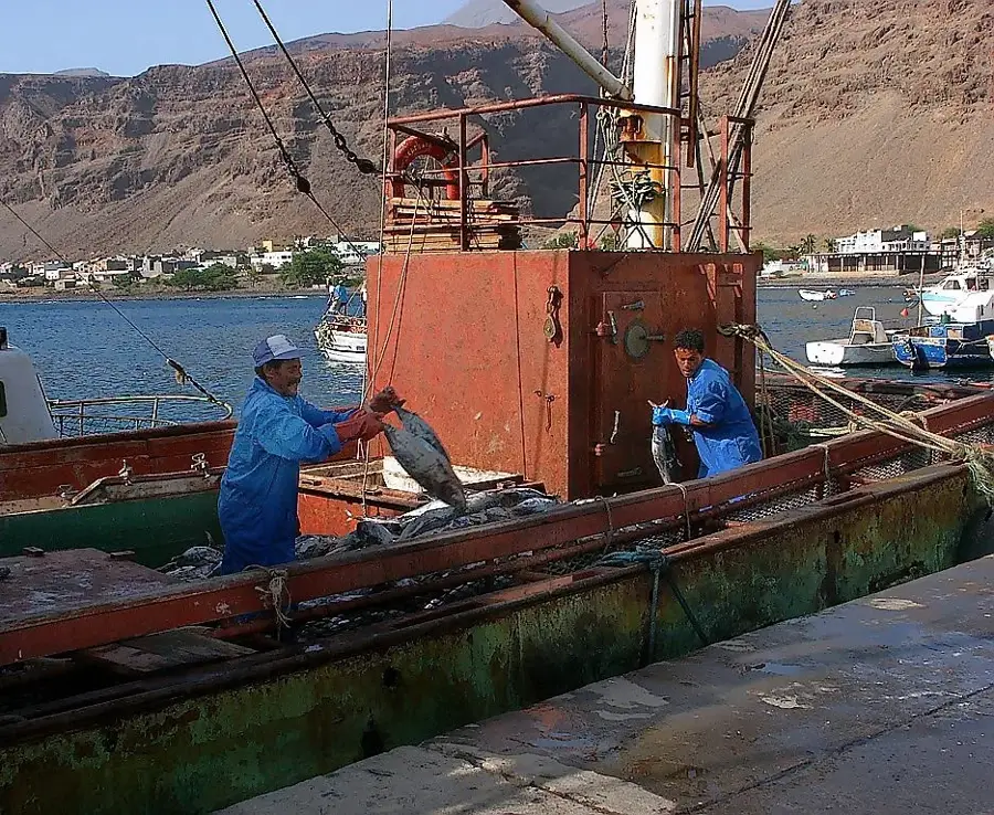
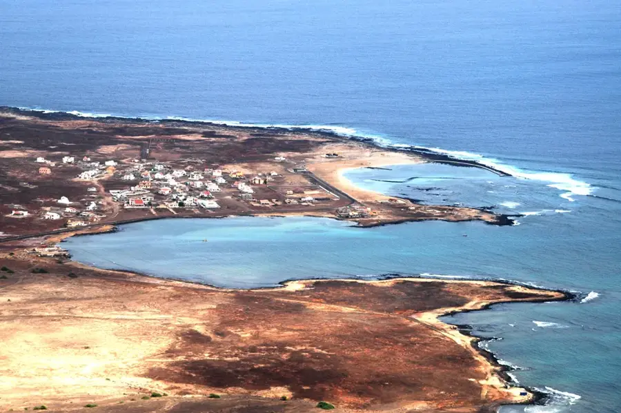
The Port of Tarrafal de São Nicolau is the main entry point to São Nicolau Island and a vital base for the local economy, particularly the fishing industry. Located in the southwest of the island, it was strategically designed to offer relatively good protection from Atlantic swells. In the 1990s, the port underwent comprehensive reconstruction to accommodate modern ferry services and general cargo handling. Given São Nicolau's strong agricultural and fishing traditions, the port is the central hub for exporting canned tuna and agricultural products to other islands. The port regularly connects the island with Mindelo and Praia, which is critical for the supply of essential goods. Its infrastructure includes specialized areas for fish processing, securing a significant portion of local employment. Despite its modest size, Tarrafal Port is a symbol of the island community's stability and its connection to the national market. Ongoing maintenance work ensures that safety for maritime traffic and passengers is maintained.
- Location: Cape Verde
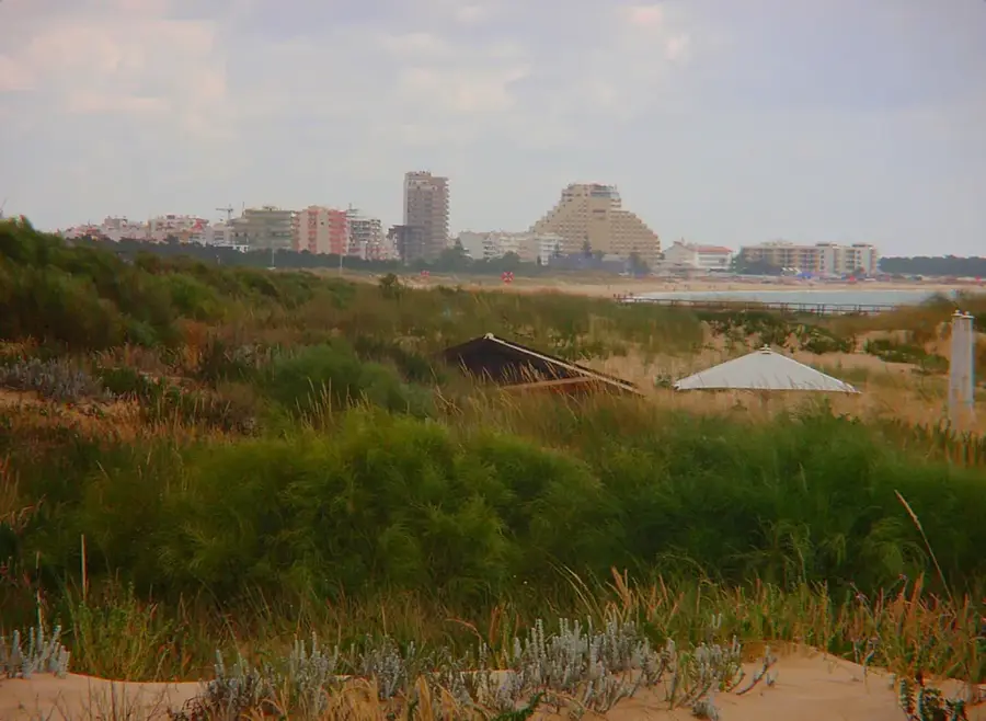
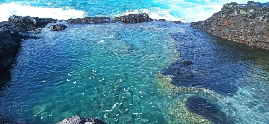
- Top sights: Praia D'Francês · Baixo Rocha · Praia D'Tedja
- Nearby: Barril (6 km)
Best time to visit & climate
The most pleasant time to visit is Mar–May.
| Jan | Feb | Mar | Apr | May | Jun | Jul | Aug | Sep | Oct | Nov | Dec | |
|---|---|---|---|---|---|---|---|---|---|---|---|---|
| Avg °C | 22 | 21 | 22 | 22 | 23 | 23 | 24 | 26 | 27 | 26 | 25 | 24 |
| Rain mm | 34 | 29 | 11 | 8 | 7 | 5 | 8 | 37 | 53 | 32 | 33 | 40 |
📋 Practical info
Geography
Facts
- Reopened in 1991 following a complete reconstruction.
- The main quay facility has a length of approximately 80 meters.
- Most important hub for the local fish canning industry.
- Regular ferry connections exist to Sal, Mindelo, and Praia.
- Features a slipway for the maintenance of small fishing vessels.
- Water depth at the docking points reaches about 6 to 8 meters.
Explore nearby
Notable places around
Route planner — Car & Motorhome
Where do you start? We build the route here, with stops and country notes along the way.
© OpenStreetMap contributors · OpenRouteService
Sights in the town Port of Tarrafal (São Nicolau) (3)
Sights nearby
Frequently asked questions
What is the significance of the Port of Tarrafal (São Nicolau)?
Are there connections to São Vicente?
Is the port important for export?
Can yachts dock here?
How is the infrastructure at the port?
Port of Tarrafal (São Nicolau): where is it located?
Port of Tarrafal (São Nicolau): what is there to see?
Port of Tarrafal (São Nicolau): when is the best time to visit?
Port of Tarrafal (São Nicolau): why is it worth visiting?

Nearby cities

More places