Plizio Visual Lab
Monte Arruda
Weather…
Water temperature…
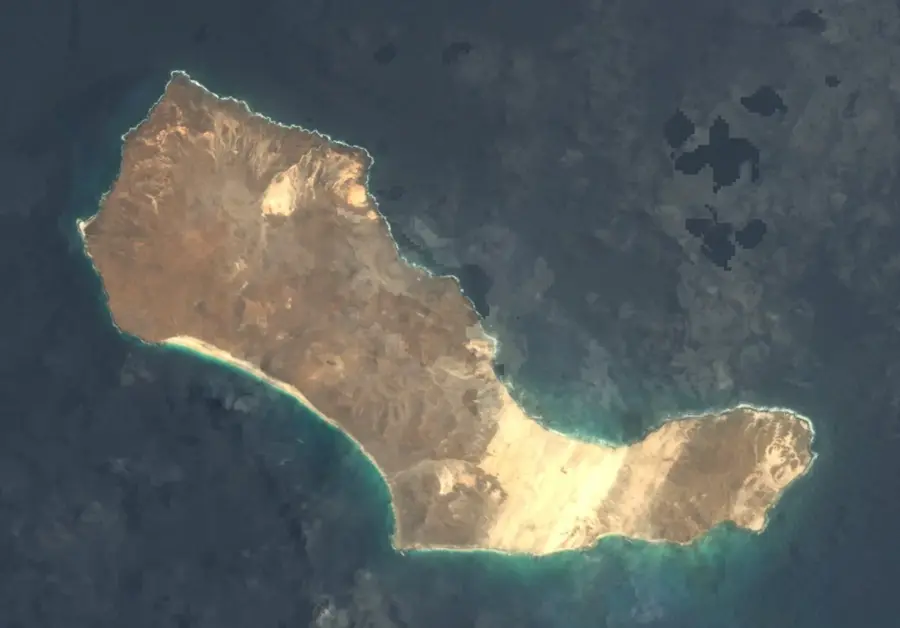
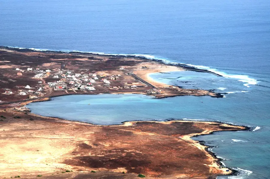
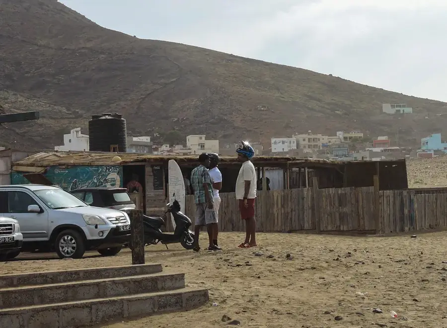
Monte Arruda is a notable elevation on the island of São Nicolau in Cape Verde, reaching an altitude of approximately 216 meters above sea level. Located on the eastern side of the island, it sits within a region characterized by its dramatic, arid landscapes and rugged coastline. Geographically, Monte Arruda is part of a series of smaller volcanic cones and ridges that define the eastern peninsula's topography. Its geological composition primarily consists of basaltic rock and pyroclastic materials, which have been significantly weathered by the constant northeast trade winds. Unlike the lush, green interior of São Nicolau, the environment around Monte Arruda is desert-like, offering clear evidence of the island's volcanic origins and subsequent erosional history. Historically, the area was used by local herdsmen for grazing goats, which are well-adapted to the sparse vegetation found on the stony slopes. The peak provides an excellent vantage point for surveyors and hikers, offering expansive views of the surrounding Atlantic Ocean and, on clear days, the uninhabited island of Santa Luzia to the west. The preservation of this landscape is vital for maintaining the geological integrity and the specialized dry-climate flora unique to this part of the island.
- Location: Cape Verde
- Nearby: Baia das Gatas (22 km)
📋 Practical info
Geography
Facts
- The peak stands at an elevation of 216 meters above sea level.
- It is located in the municipality of Ribeira Brava, on its eastern end.
- The mountain was formed by volcanic eruptions millions of years ago.
- The area is known for its high exposure to Atlantic trade winds.
- Local flora includes several species of xerophytic shrubs.
- It serves as a prominent landmark for local coastal navigation.
Explore nearby
Notable places around
Route planner — Car & Motorhome
Where do you start? We build the route here, with stops and country notes along the way.
© OpenStreetMap contributors · OpenRouteService
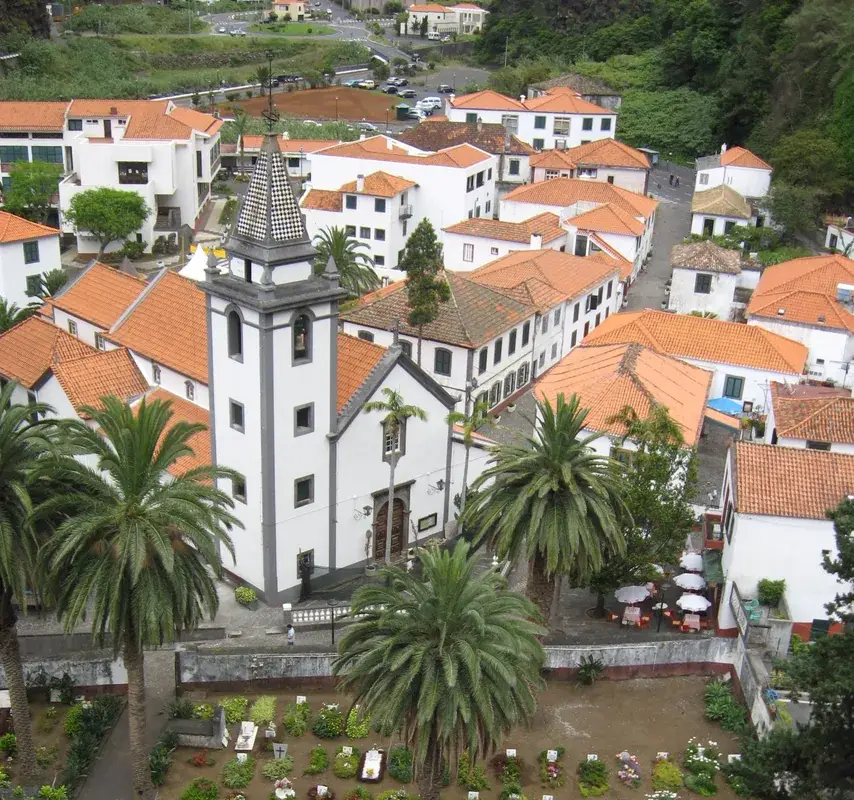
Sights in the town Monte Arruda (1)
Sights nearby
Frequently asked questions
Where is Monte Arruda located?
What kind of terrain is it?
Can you see animals there?
Do you need a special vehicle?
Is there drinking water there?
Monte Arruda: where is it located?
Monte Arruda: why is it worth visiting?

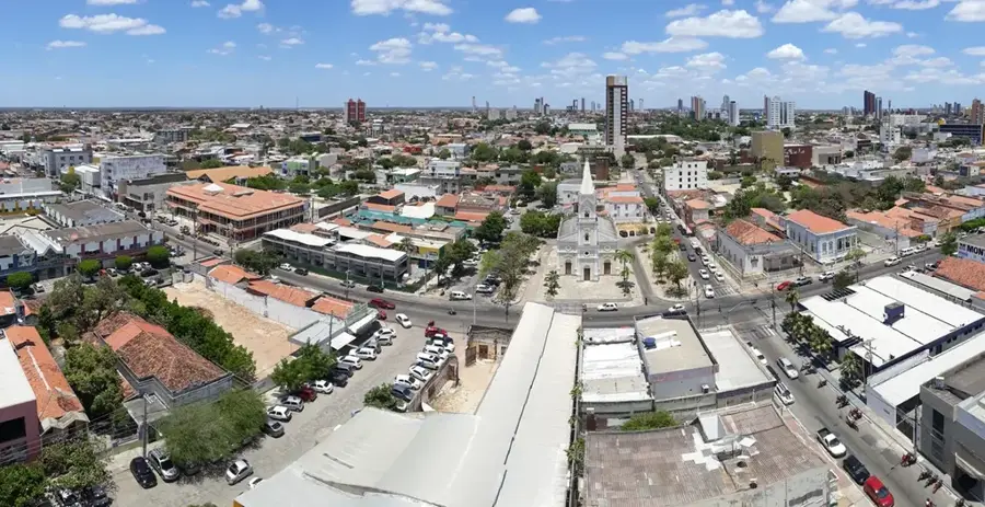
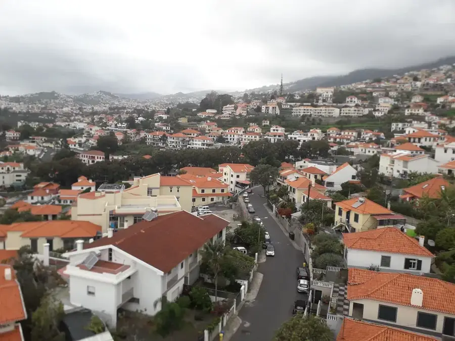
Nearby cities
History & landmarks


More places