Plizio Visual Lab
Monte Cintinha

Weather…
Water temperature…
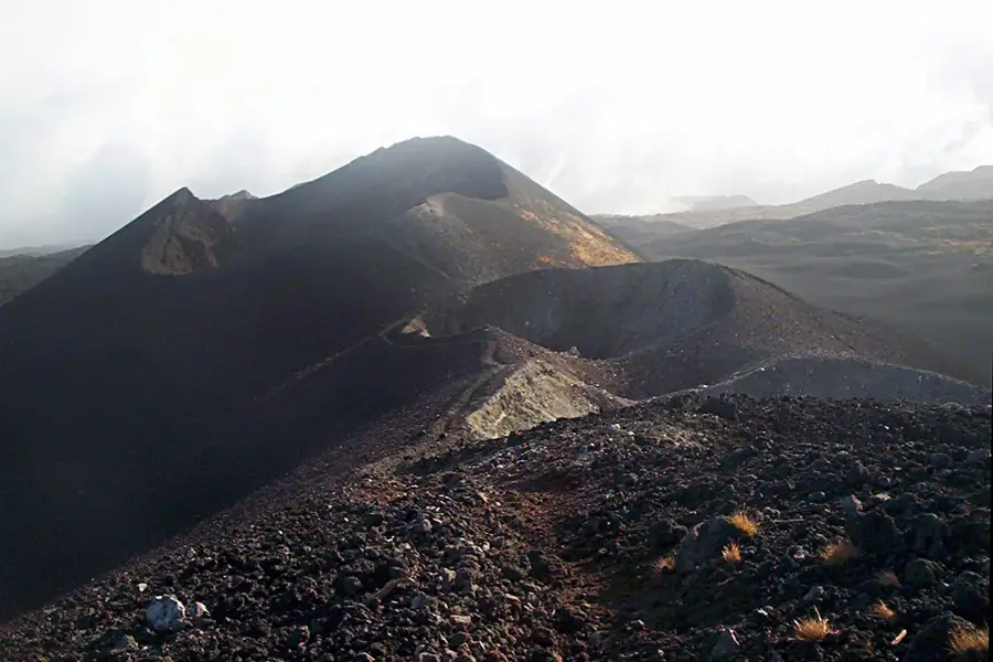
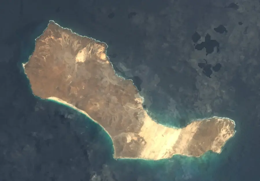
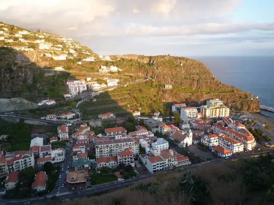
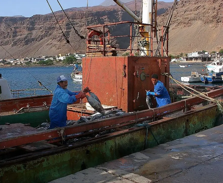
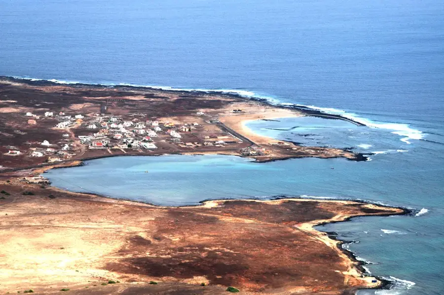
Monte Cintinha is a distinctive volcanic elevation on the island of Sal in Cape Verde, reaching a height of approximately 215 meters. Although relatively low in absolute terms, it stands out significantly from the island's predominantly flat topography, making it one of the most important landmarks in the northern region. The mountain is an extinct volcanic cone located near the coast, composed of dark basaltic rocks that have been weathered by millions of years of exposure to trade winds and salt spray. Historically, Monte Cintinha served as a critical navigational reference for mariners approaching the island from the north, as it was often the first visible feature on the horizon. The vegetation on its slopes is extremely sparse due to Sal's arid desert climate, consisting mainly of xerophytic plants adapted to prolonged drought. From its summit, the peak features panoramic views of the island's barren plains, extending all the way to the salt pans of Pedra de Lume. Geologically, the mountain provides valuable information about the early stages of the archipelago's formation, as Sal is one of the oldest islands in Cape Verde, dating back over 25 million years.
- Location: Cape Verde
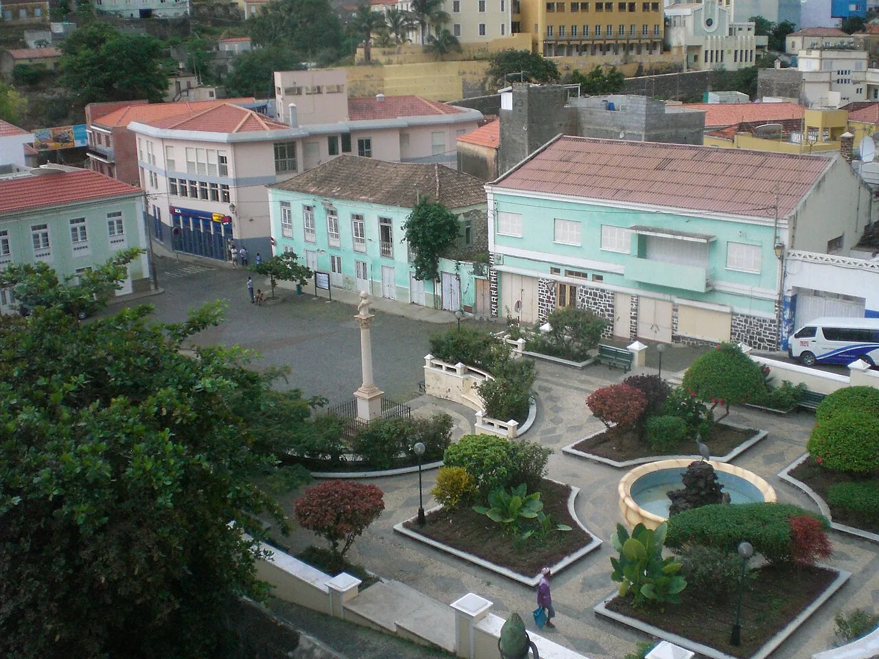
- Top sights: Forte do Príncipe Real · São Nicolau, Cape Verde
- Nearby: Fajã de Baixo (6 km)
Best time to visit & climate
The most pleasant time to visit is Mar–May.
| Jan | Feb | Mar | Apr | May | Jun | Jul | Aug | Sep | Oct | Nov | Dec | |
|---|---|---|---|---|---|---|---|---|---|---|---|---|
| Avg °C | 22 | 21 | 22 | 22 | 23 | 23 | 24 | 26 | 27 | 26 | 25 | 24 |
| Rain mm | 34 | 29 | 11 | 8 | 7 | 5 | 8 | 37 | 53 | 32 | 33 | 40 |
📋 Practical info
Geography
Facts
- The peak reaches an elevation of approximately 215 meters (705 feet).
- It is located on Sal, geologically the oldest island in the archipelago.
- The mountain is an extinct volcano that has ceased activity millions of years ago.
- Its slopes are characterized by high levels of salinity and low biodiversity.
- The summit provides a 360-degree view of the northern part of Sal Island.
- Archaeological evidence suggests its use as a landmark since the 15th century.
Explore nearby
Notable places around
Route planner — Car & Motorhome
Where do you start? We build the route here, with stops and country notes along the way.
© OpenStreetMap contributors · OpenRouteService
Sights in the town Monte Cintinha (2)
Sights nearby
Frequently asked questions
What is Monte Cintinha?
How high is it?
Is the climb worth it?
How difficult is the path?
When is the best time to visit?
Monte Cintinha: where is it located?
Monte Cintinha: what is there to see?
Monte Cintinha: when is the best time to visit?
Monte Cintinha: why is it worth visiting?

Nearby cities

More places