Plizio Visual Lab
Monte Verde
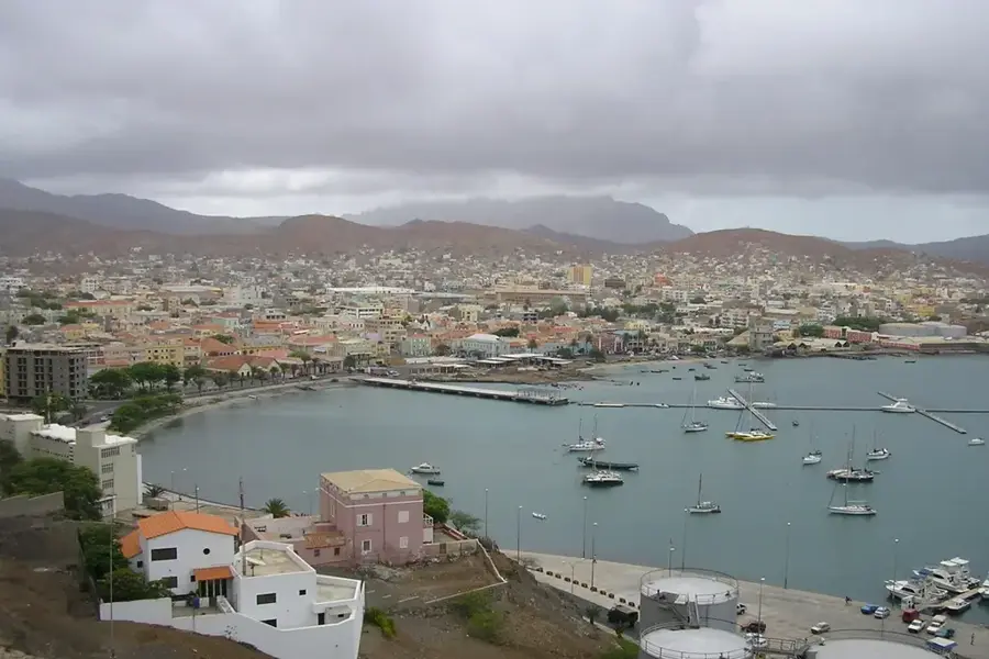
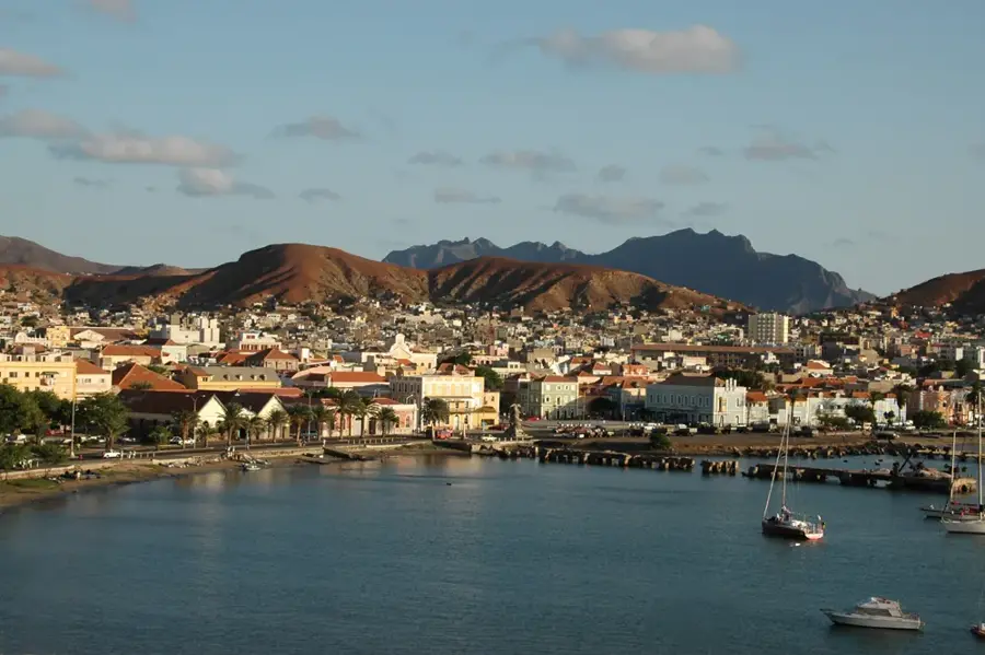
Monte Verde is the highest peak on the island of São Vicente, rising to an elevation of 750 meters and serving as the focal point of the Monte Verde Natural Park. Its strategic location allows it to capture moisture from the trade wind clouds, creating a humid microclimate that supports a much greener landscape than the surrounding arid plains of the island. The summit is occupied by telecommunication towers and military installations, while the lower slopes are characterized by stone-walled terraces where local farmers practice subsistence agriculture. Geologically, the mountain is a volcanic remnant that showcases the ancient origins of the Cape Verde archipelago. Hiking trails lead to the peak, offering travelers a 360-degree panorama that includes the bustling city of Mindelo and the nearby uninhabited islands. The area is critically important for conservation, as it shelters several endemic plant species that are found nowhere else in the world, making it a key site for ecological study.
- Location: Cape Verde
- Top sights: Miradouro · Monte Verde · Monte Verde Natural Park
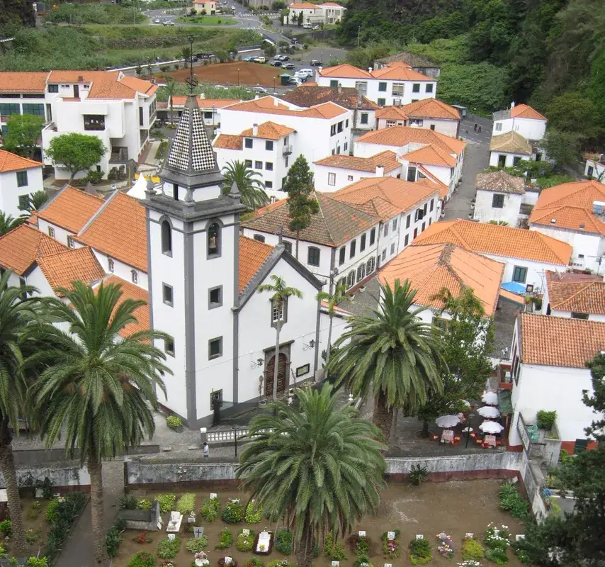
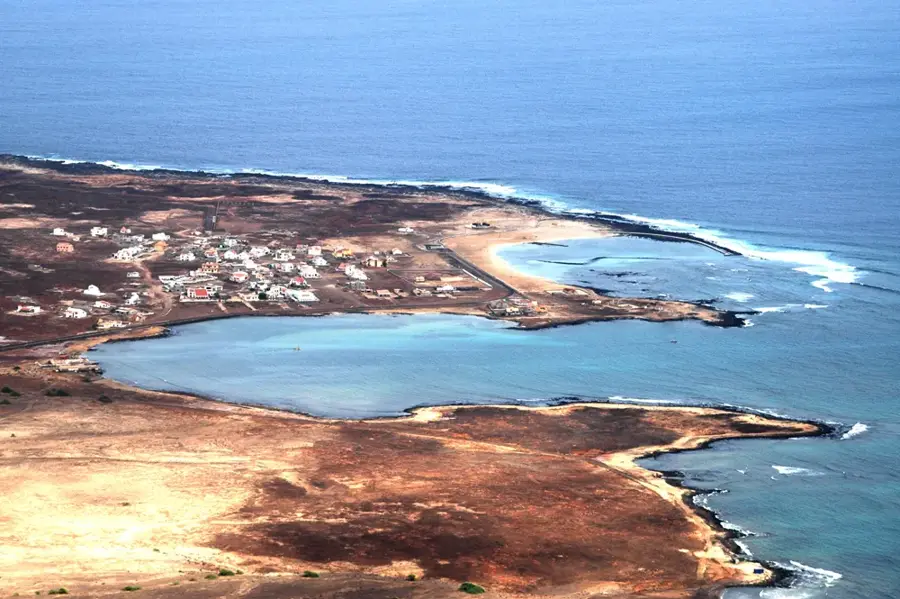
- Nearby: Salamansa (5 km)
Best time to visit & climate
The most pleasant time to visit is Mar–May.
| Jan | Feb | Mar | Apr | May | Jun | Jul | Aug | Sep | Oct | Nov | Dec | |
|---|---|---|---|---|---|---|---|---|---|---|---|---|
| Avg °C | 21 | 21 | 21 | 22 | 22 | 23 | 24 | 26 | 26 | 26 | 24 | 23 |
| Rain mm | 41 | 37 | 19 | 14 | 7 | 7 | 9 | 28 | 46 | 27 | 37 | 50 |
📋 Practical info
Geography
Facts
- The peak reaches a maximum elevation of exactly 750 meters above sea level.
- Monte Verde Natural Park covers a protected area of approximately 3.12 square kilometers.
- At least 17 different endemic plant species have been scientifically documented on the mountain.
- Average temperatures at the summit are typically 5 to 8 degrees Celsius lower than at sea level.
- The mountain's geological base consists of basaltic volcanic rock dating back to the Miocene.
- The distance from the summit to the Mindelo harbor is roughly 6 kilometers as the crow flies.
Explore nearby
Notable places around
Route planner — Car & Motorhome
Where do you start? We build the route here, with stops and country notes along the way.
© OpenStreetMap contributors · OpenRouteService
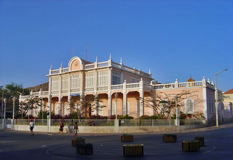
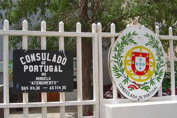
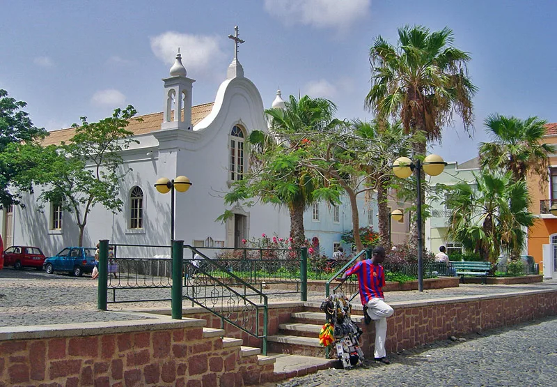
Sights in the town Monte Verde (5)
Sights nearby
Frequently asked questions
Can you drive up Monte Verde?
How high is the mountain?
What can you see from the summit?
Is it windy there?
Are there rare plants there?
Monte Verde: where is it located?
Monte Verde: what is there to see?
Monte Verde: when is the best time to visit?
Monte Verde: why is it worth visiting?

Nearby cities
History & landmarks


More places