Plizio Visual Lab
Pico da Antónia
Weather…
Water temperature…
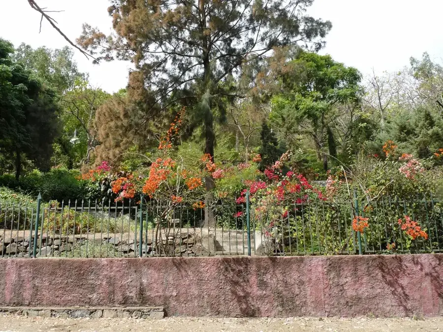
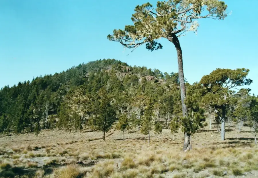
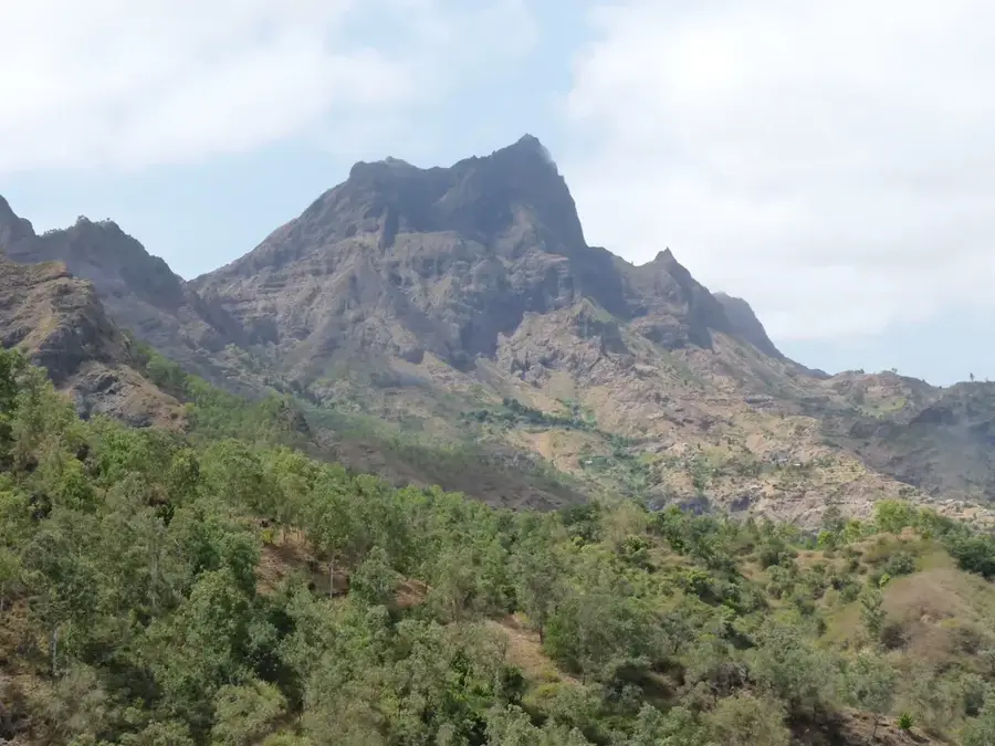
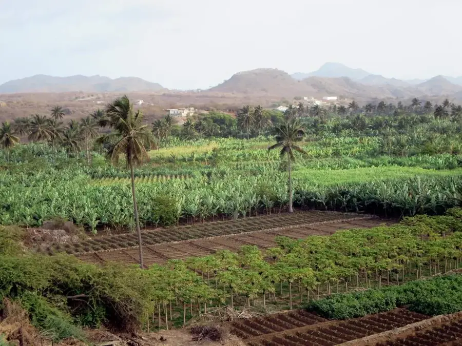
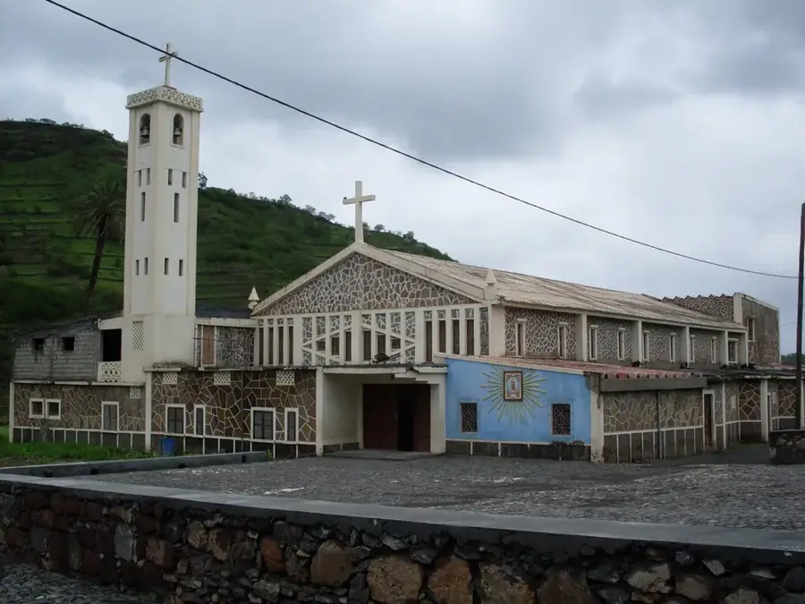
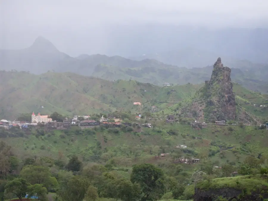
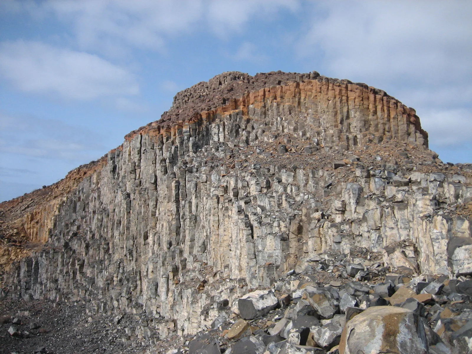
Pico da Antónia is the highest point on the island of Santiago, rising to an elevation of 1,392 meters and serving as the centerpiece of the eponymous Natural Park. The massif dominates the central landscape of the island and stands as a powerful testament to the volcanic activity that forged the Cape Verde archipelago. Geologically, the mountain consists of complex basaltic and phonolitic formations that have been deeply etched by erosion over millions of years. Its significant height allows Pico da Antónia to trap moisture from passing trade winds, sustaining lush vegetation and rare cloud forests near the summit that contrast sharply with the island's arid coastlines. The surrounding park protects a wealth of endemic plant and animal species, including unique birds like the Cape Verde heron. For hikers, the trek to the summit is one of the most challenging yet rewarding experiences in the country, offering panoramic views that can span the entire island and reach the neighboring islands of Fogo and Maio on clear days. Culturally, the peak is deeply significant to the local population and features prominently in regional folklore.
- Location: Cape Verde
- Top sights: Rui Vaz Letras · Jardim Botanico
- Nearby: Picos (4 km)
Best time to visit & climate
The most pleasant time to visit is Feb–Apr.
| Jan | Feb | Mar | Apr | May | Jun | Jul | Aug | Sep | Oct | Nov | Dec | |
|---|---|---|---|---|---|---|---|---|---|---|---|---|
| Avg °C | 23 | 22 | 22 | 23 | 23 | 24 | 25 | 27 | 27 | 27 | 26 | 24 |
| Rain mm | 22 | 20 | 8 | 5 | 4 | 4 | 12 | 56 | 82 | 45 | 37 | 30 |
📋 Practical info
Geography
Facts
- The official height of Pico da Antónia is 1,392 meters above sea level.
- The Pico da Antónia Natural Park was officially established in 2003.
- The protected area covers a surface of approximately 15.73 square kilometers.
- The mountain is home to more than 20 different species of endemic plants.
- Annual rainfall near the summit can reach up to 900 mm in wet years.
- From the summit, the Pico do Fogo volcano is often visible on the horizon.
Explore nearby
Notable places around
Route planner — Car & Motorhome
Where do you start? We build the route here, with stops and country notes along the way.
© OpenStreetMap contributors · OpenRouteService
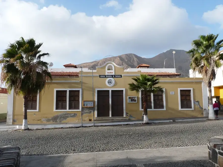
Sights in the town Pico da Antónia (2)
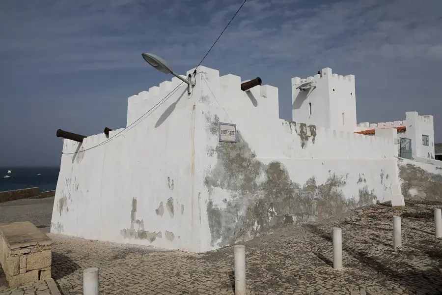
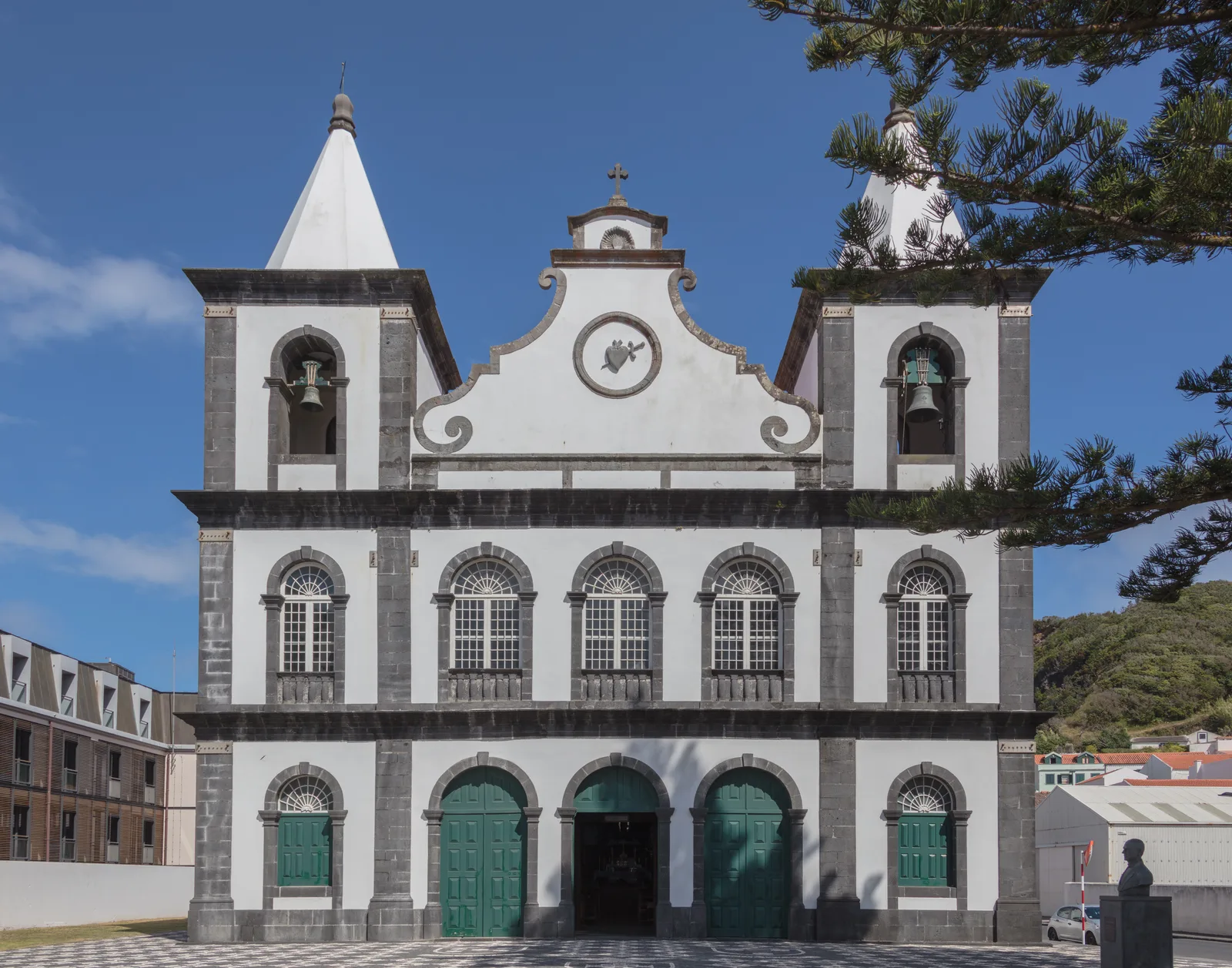
Sights nearby
Frequently asked questions
How high is Pico da Antónia?
Is the hike strenuous?
Do you need a guide for the Pico?
Are there special animals or plants?
Where do you start the hike from?
Pico da Antónia: where is it located?
Pico da Antónia: what is there to see?
Pico da Antónia: when is the best time to visit?
Pico da Antónia: why is it worth visiting?

Nearby cities


History & landmarks
More places