Plizio Visual Lab
Ponta Temerosa Lighthouse
Weather…
Water temperature…
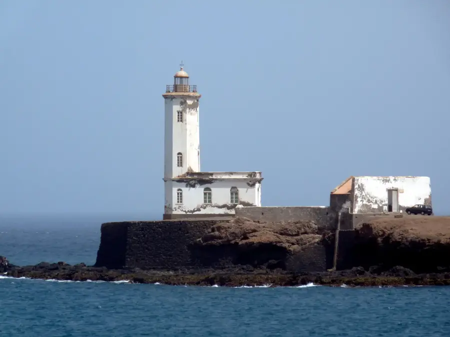
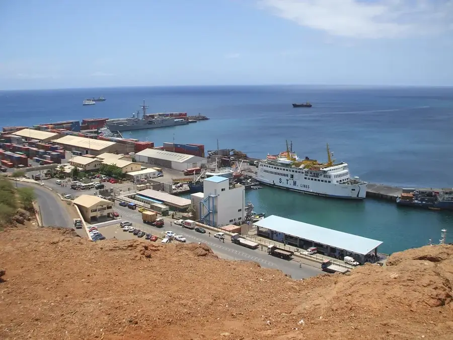
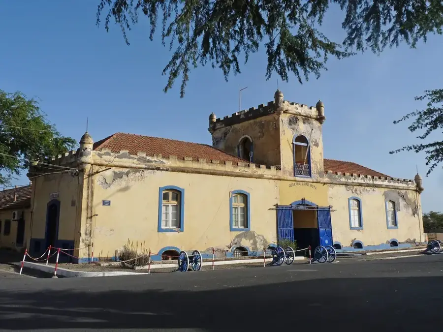
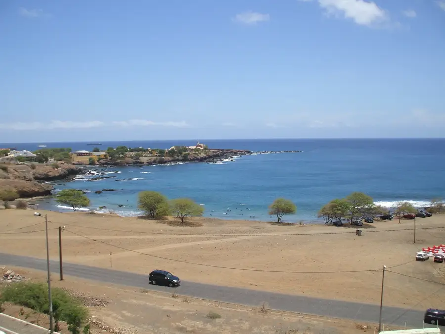
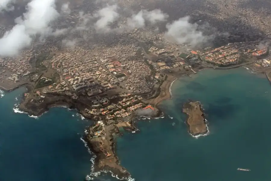
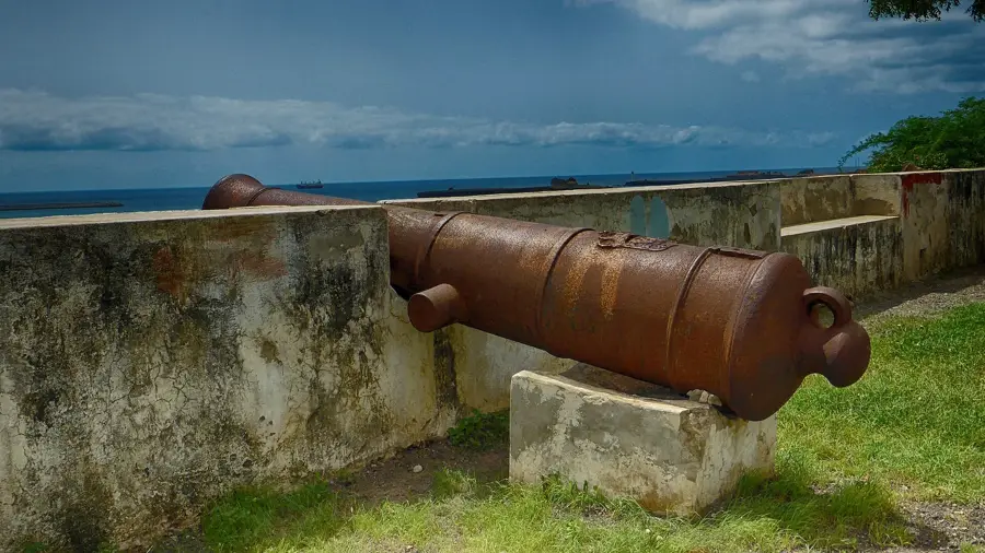
The Ponta Temerosa Lighthouse, known locally as Farol de Ponta Temerosa, is a significant maritime landmark located at the southern tip of the Plateau in Praia, Santiago Island. Established in 1881 during the Portuguese colonial era, the lighthouse was built to ensure the safety of vessels entering the strategic harbor of Praia. The structure features a distinctive white octagonal tower mounted on a rectangular base, crowned with a lively red lantern housing. Standing at a height of approximately 13 meters with a focal plane 26 meters above sea level, its light serves as a vital navigational aid for maritime traffic in the central Atlantic. The architecture exemplifies the functional engineering of the late 19th century, designed to withstand the harsh coastal environment. Surrounding the lighthouse are historical remnants, including old cannons that once guarded the bay, reflecting the site's past defensive significance. Today, Ponta Temerosa remains an iconic symbol of Cape Verde's nautical heritage, offering visitors a panoramic view of the Praia Bay and the bustling activities of the nearby international port.
- Location: Cape Verde
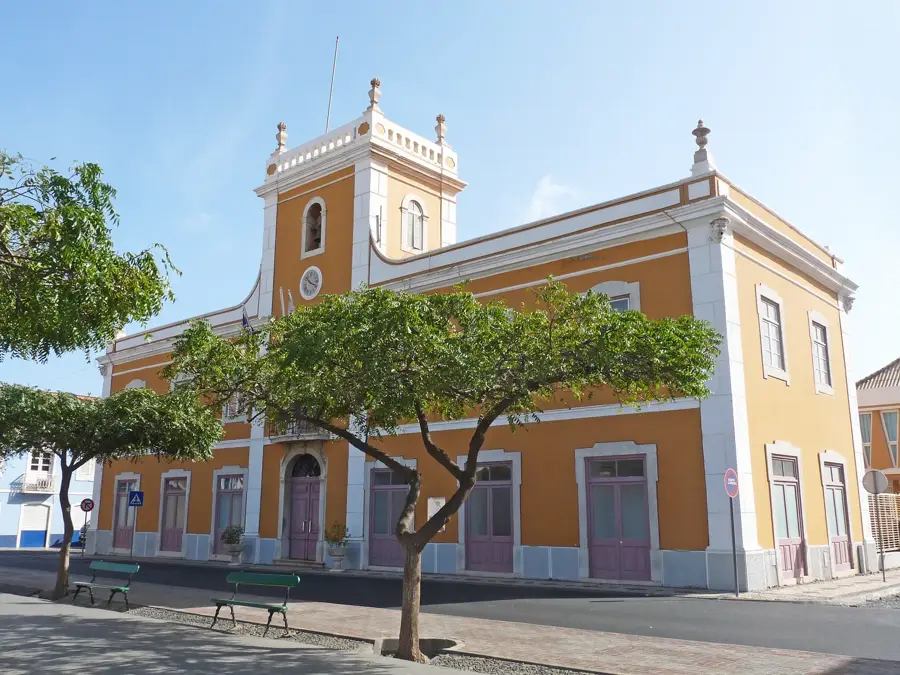
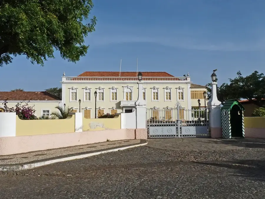
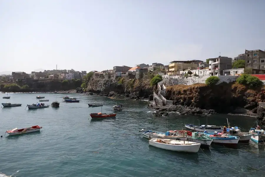
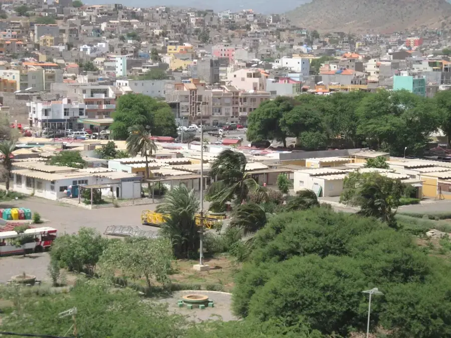
- Top sights: ex Leprosy Station · Farol de María Pia · Prainha
- Nearby: Cidade Velha (11 km)
Best time to visit & climate
The most pleasant time to visit is Feb–Apr.
| Jan | Feb | Mar | Apr | May | Jun | Jul | Aug | Sep | Oct | Nov | Dec | |
|---|---|---|---|---|---|---|---|---|---|---|---|---|
| Avg °C | 23 | 22 | 22 | 23 | 23 | 24 | 25 | 27 | 27 | 27 | 26 | 24 |
| Rain mm | 22 | 20 | 8 | 5 | 4 | 4 | 12 | 56 | 82 | 45 | 37 | 30 |
📋 Practical info
Geography
Facts
- The lighthouse was officially commissioned in 1881.
- The physical height of the tower is 13.5 meters.
- The focal plane of the light is 26 meters above sea level.
- The light signal has a range of approximately 15 nautical miles.
- The tower features a unique octagonal architectural design.
- It is situated on the grounds of the former São João fortress.
Explore nearby
Notable places around
Route planner — Car & Motorhome
Where do you start? We build the route here, with stops and country notes along the way.
© OpenStreetMap contributors · OpenRouteService
Sights in the town Ponta Temerosa Lighthouse (3)
Sights nearby
Frequently asked questions
How is the lighthouse reachable?
Is there a cafe there?
When is the best time for photos?
Is the lighthouse still actively used?
Is it allowed to fly drones?
Ponta Temerosa Lighthouse: where is it located?
Ponta Temerosa Lighthouse: what is there to see?
Ponta Temerosa Lighthouse: when is the best time to visit?
Ponta Temerosa Lighthouse: why is it worth visiting?

Nearby cities
History & landmarks

More places