Plizio Visual Lab
Calheta de São Miguel
ℹ️Practical info — Calheta de São Miguel
▾
🌤 Weather — 5 days
📍 Nearby
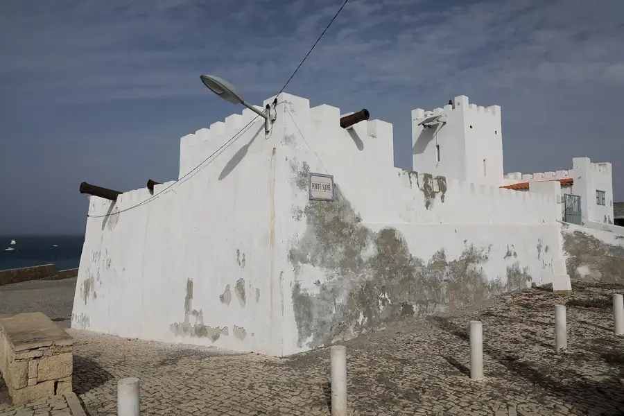
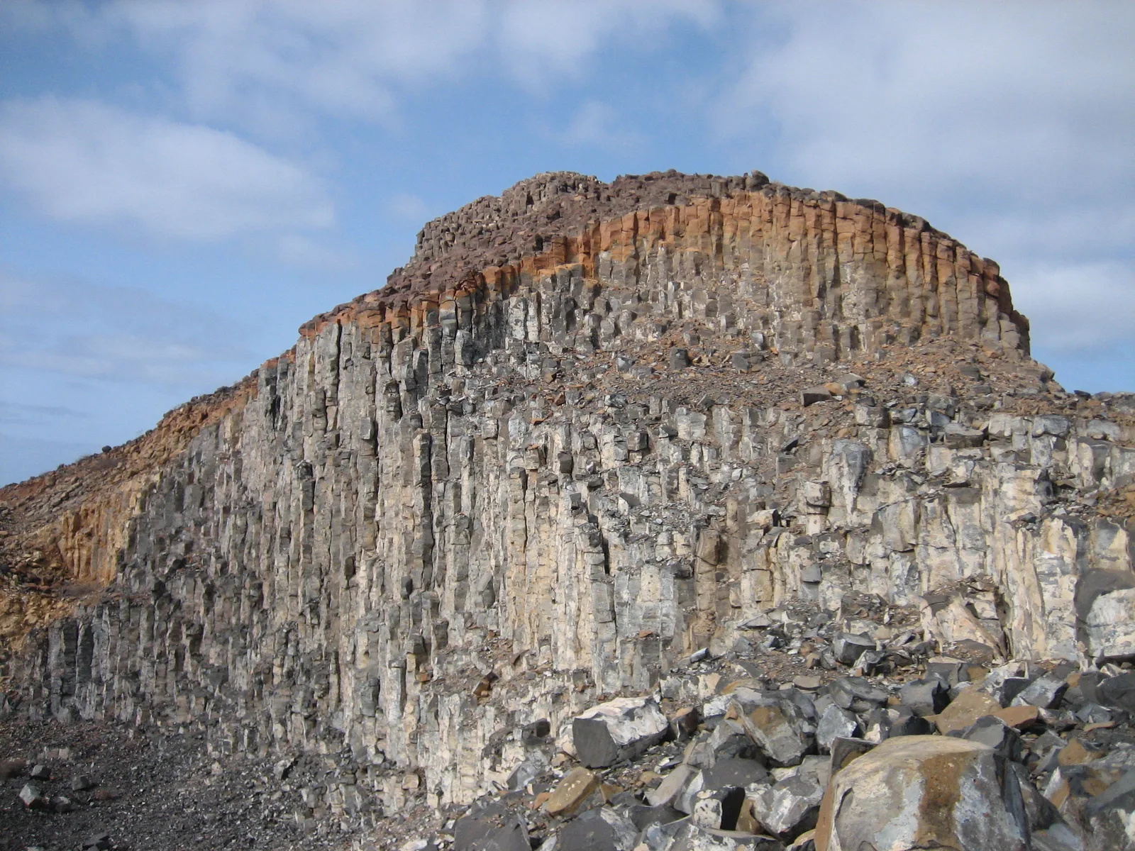
Sights nearby
💡 Tips
- The town is built on a slope leading down to the sea; wear comfortable shoes for walking up and down.
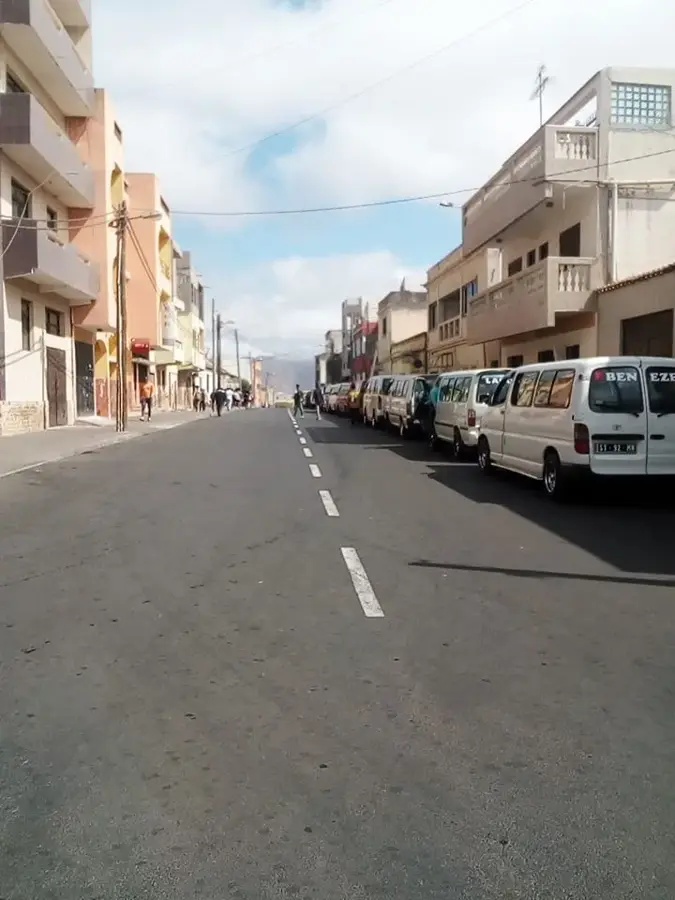
- Minibuses (aluguers) are the best way to travel around the island, usually departing when full from the main square.
- Winds can be strong along the northeastern coast, making a light jacket useful in the evenings.
- Be prepared for a lively atmosphere on weekends, when music and street life take over the center.
🍽 Food
Try the local sugarcane spirit or the sweeter version mixed with molasses at a local bar.
A popular local snack often deep-fried or grilled, found in small coastal eateries.
A deep-fried pastry filled with spicy tuna or meat, well-suited for a quick snack.
🛍 Shopping · 🧘 Quiet spots
Visit the local market for fresh produce, spices, and a glimpse into everyday Santiago life.
Look for woven baskets and simple pottery sold by vendors around the town center.
A quiet spot in the late afternoon to watch the waves and the boats bobbing in the water.
Walk along the rocky cliffs outside the main town area for uninterrupted ocean panoramas.
Water temperature…
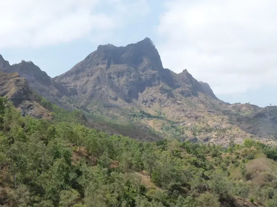
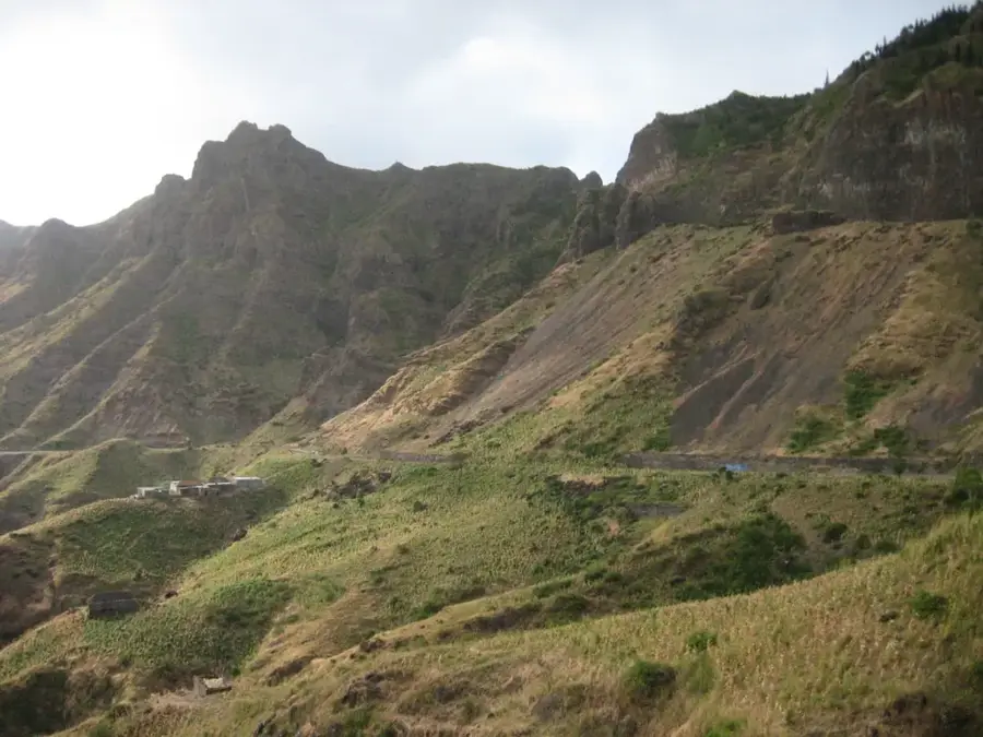
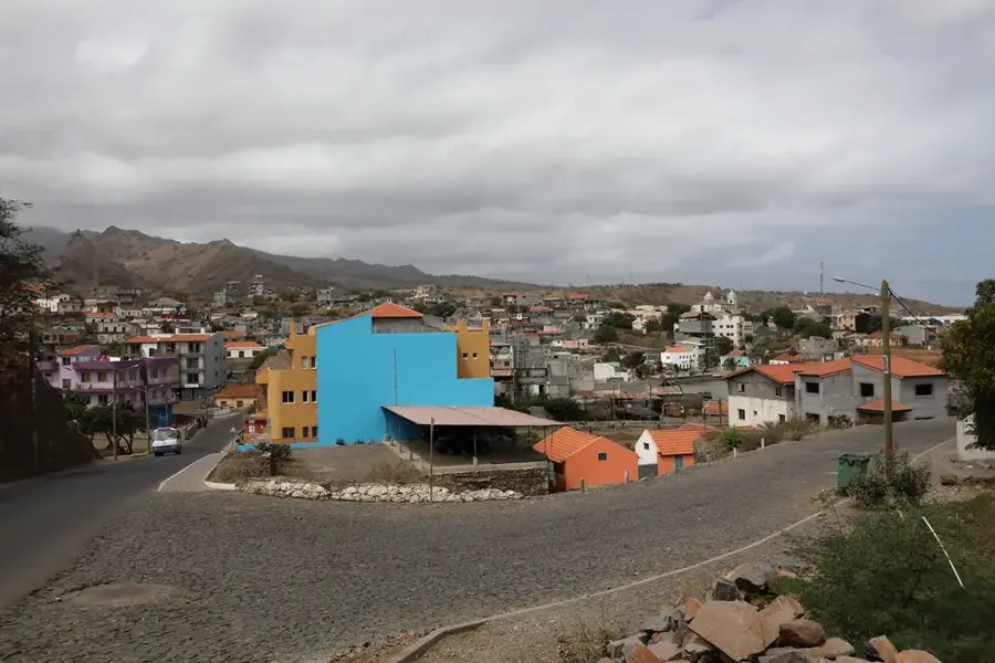
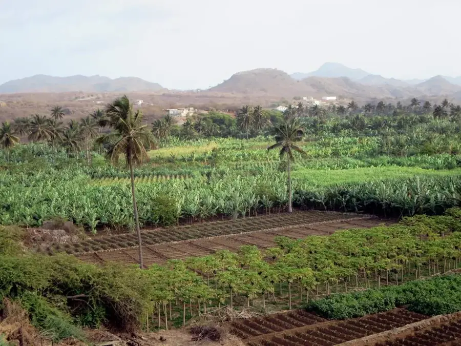
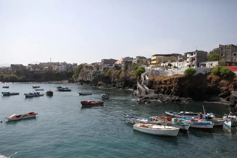
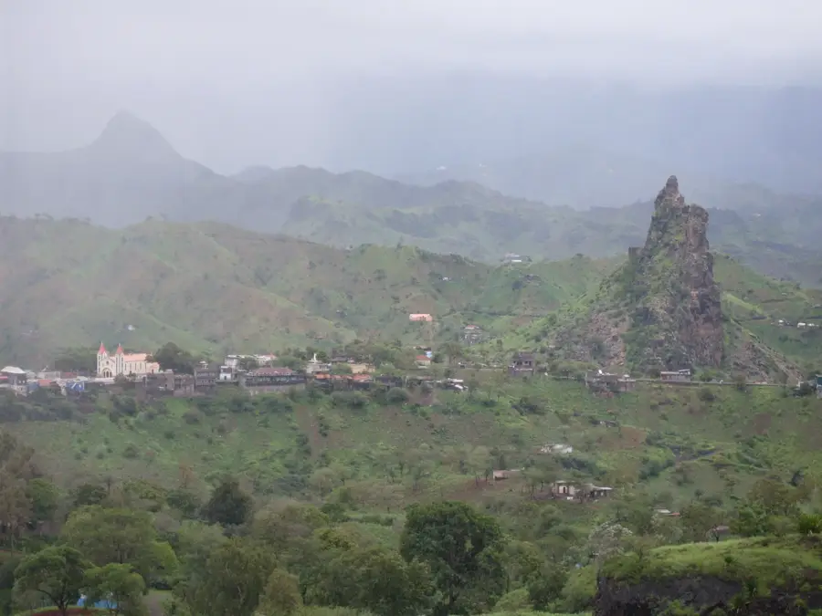
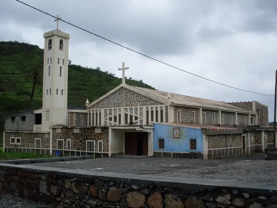
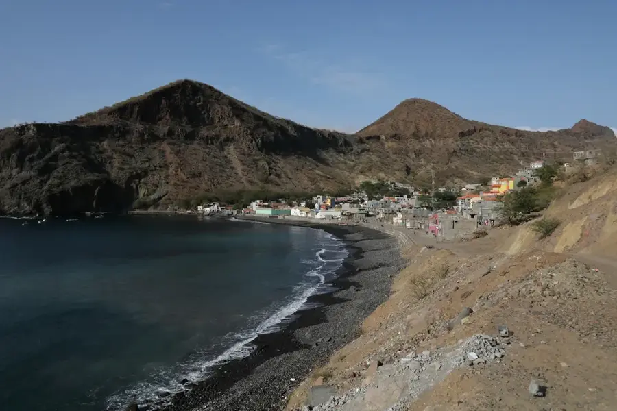
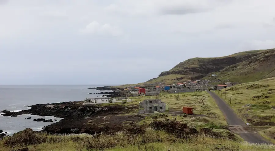
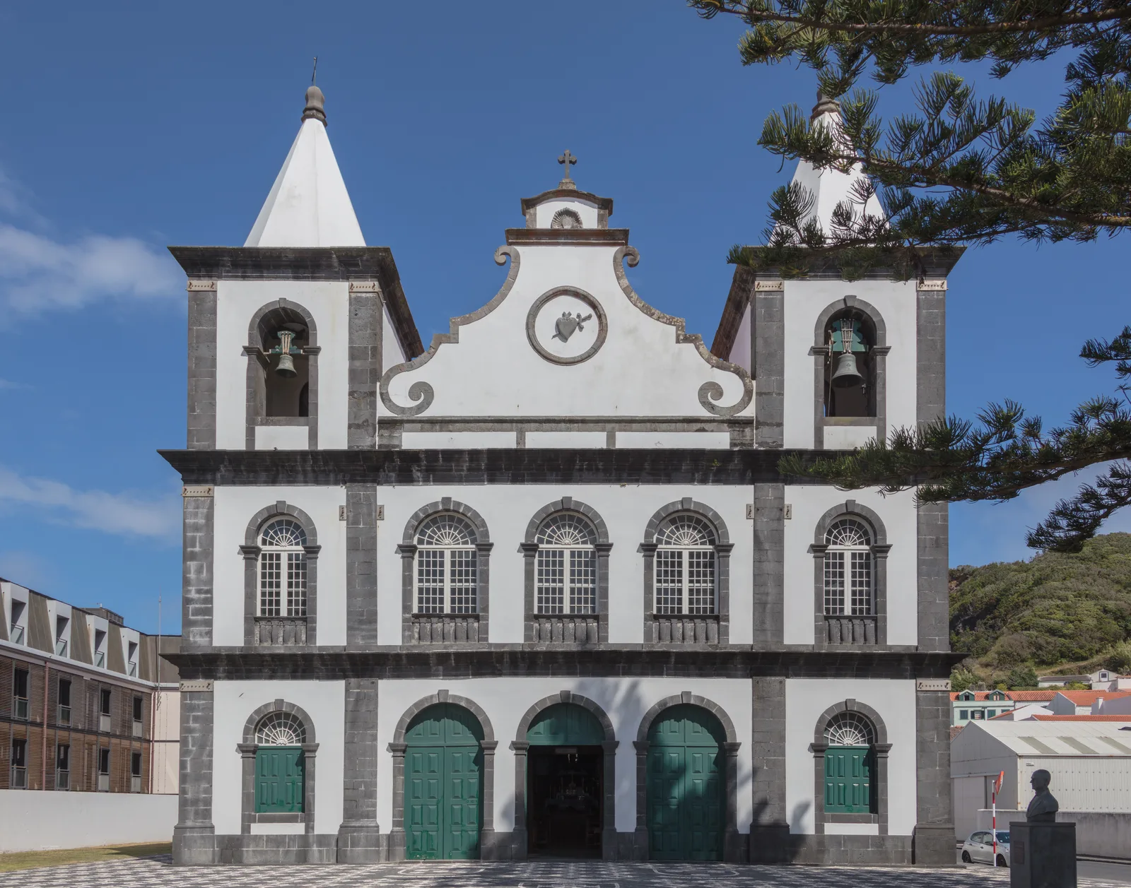
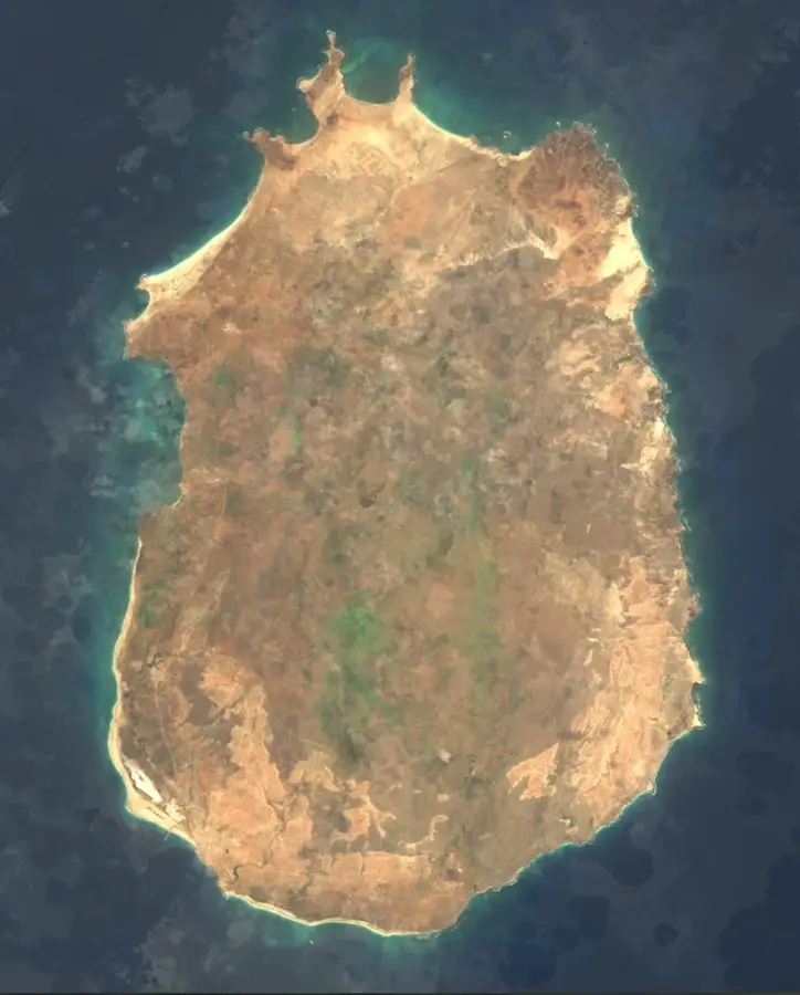
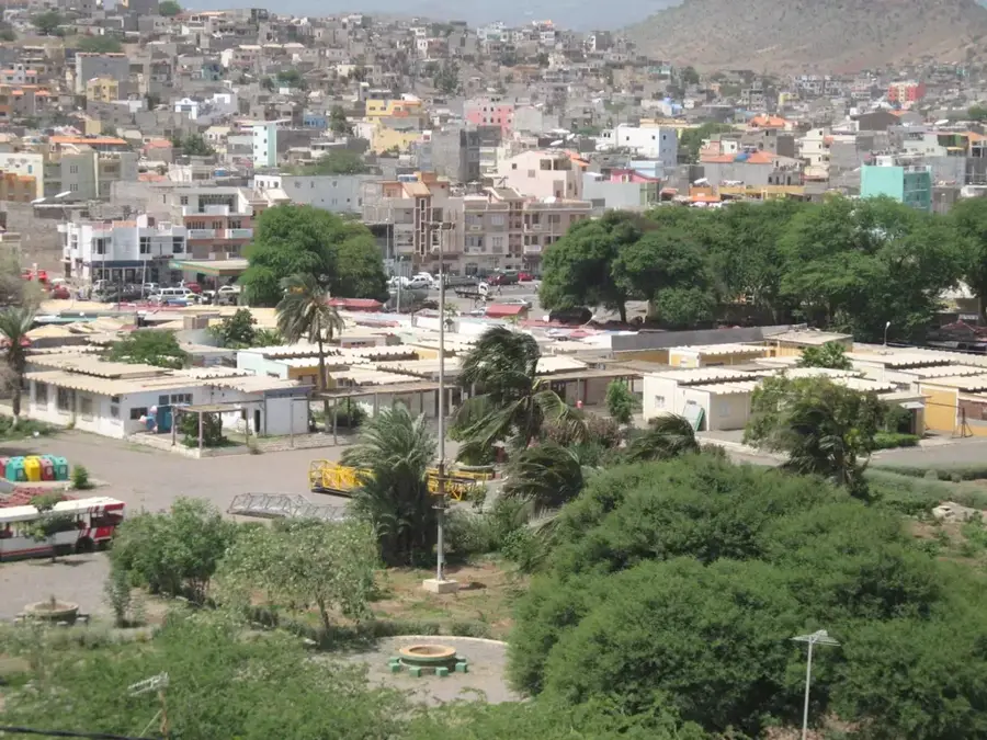
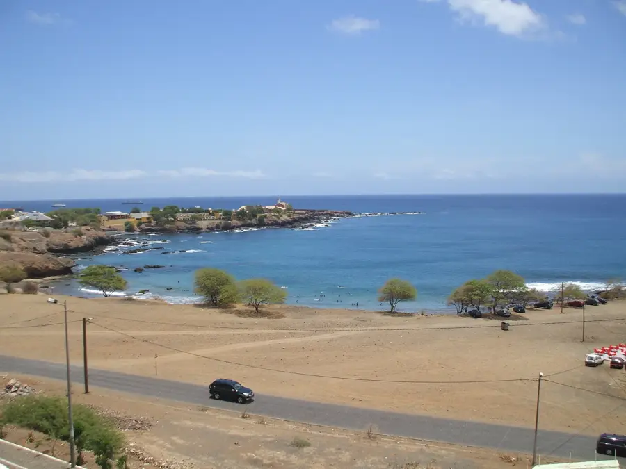
Calheta de São Miguel is the administrative seat of the São Miguel municipality, perched on the northeastern coast of Santiago Island. The town is situated in a dramatic landscape between the Atlantic Ocean and the rugged foothills of the central mountain range. Its economy is deeply rooted in artisanal fishing and agriculture, supported by the fertile valleys of the interior where crops like maize, beans, and sugarcane are cultivated. Calheta features a small, sheltered harbor that serves as the primary base for the local fishing fleet. The town center is dominated by the Church of São Miguel Arcanjo, which serves as a focal point for the community's social and religious life. The surrounding region is celebrated for its traditional folk festivals and music, preserving the island's unique cultural heritage. Recent improvements to the coastal highway have significantly enhanced connectivity with the capital, Praia, while allowing Calheta to maintain its distinctive rural charm and natural appeal.
- Location: Cape Verde
- Nearby: Achada Monte (7 km)
- Population: ~6.329 (2026)
Best time to visit & climate
The most pleasant time to visit is Feb–Apr.
| Jan | Feb | Mar | Apr | May | Jun | Jul | Aug | Sep | Oct | Nov | Dec | |
|---|---|---|---|---|---|---|---|---|---|---|---|---|
| Avg °C | 23 | 22 | 22 | 23 | 23 | 24 | 25 | 27 | 27 | 27 | 26 | 24 |
| Rain mm | 22 | 20 | 8 | 5 | 4 | 4 | 12 | 56 | 82 | 45 | 37 | 30 |
Geography
Facts
- Calheta de São Miguel is located 55 kilometers northeast of Praia.
- The town became the seat of the São Miguel municipality in 1996.
- Artisanal fishing provides the main source of income for many residents.
- The Church of São Miguel Arcanjo is a central landmark in the town.
- The coastal highway connects Calheta to both Tarrafal and Praia.
- The region is known for its traditional sugarcane and 'grogue' production.
Explore nearby
Notable places around
Route planner — Car & Motorhome
Where do you start? We build the route here, with stops and country notes along the way.
© OpenStreetMap contributors · OpenRouteService
Sights in the town Calheta de São Miguel (1)
Frequently asked questions
What characterizes Calheta?
Can you eat well there?
Is the place touristy?
How is the weather?
Are there accommodation options?
Calheta de São Miguel: where is it located?
Calheta de São Miguel: when is the best time to visit?
Calheta de São Miguel: why is it worth visiting?

Nearby cities


History & landmarks
More places