Plizio Visual Lab
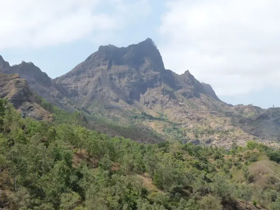
Monte Tchota

Weather…
Water temperature…
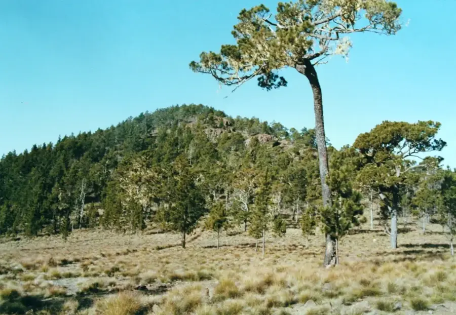
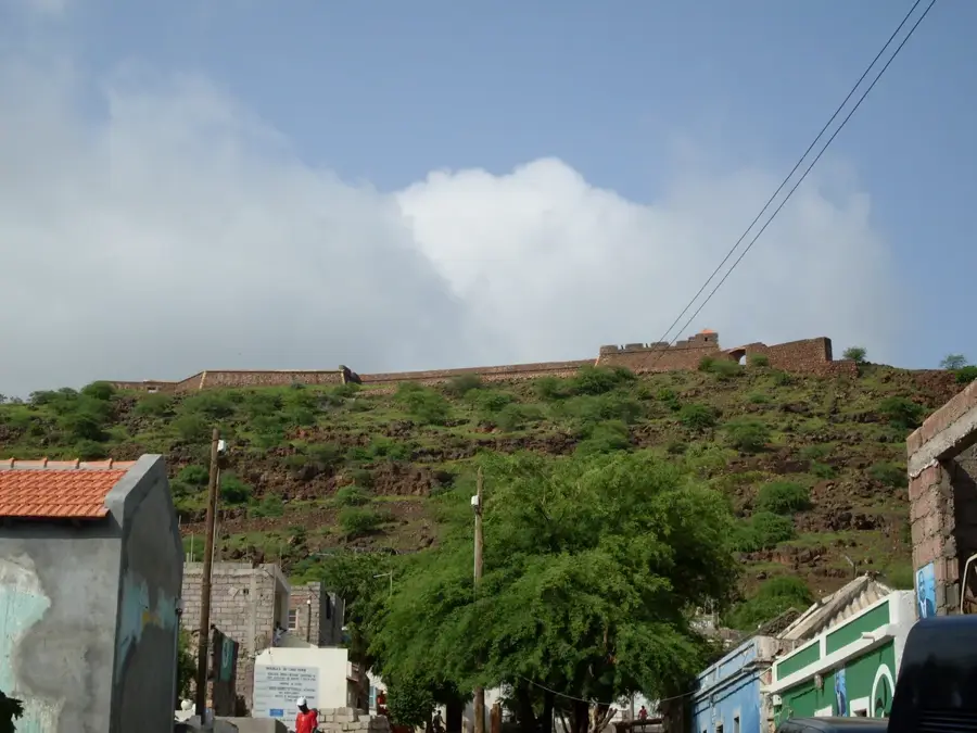
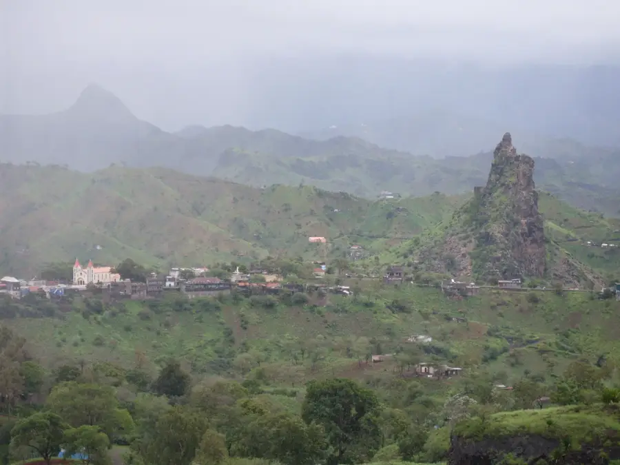
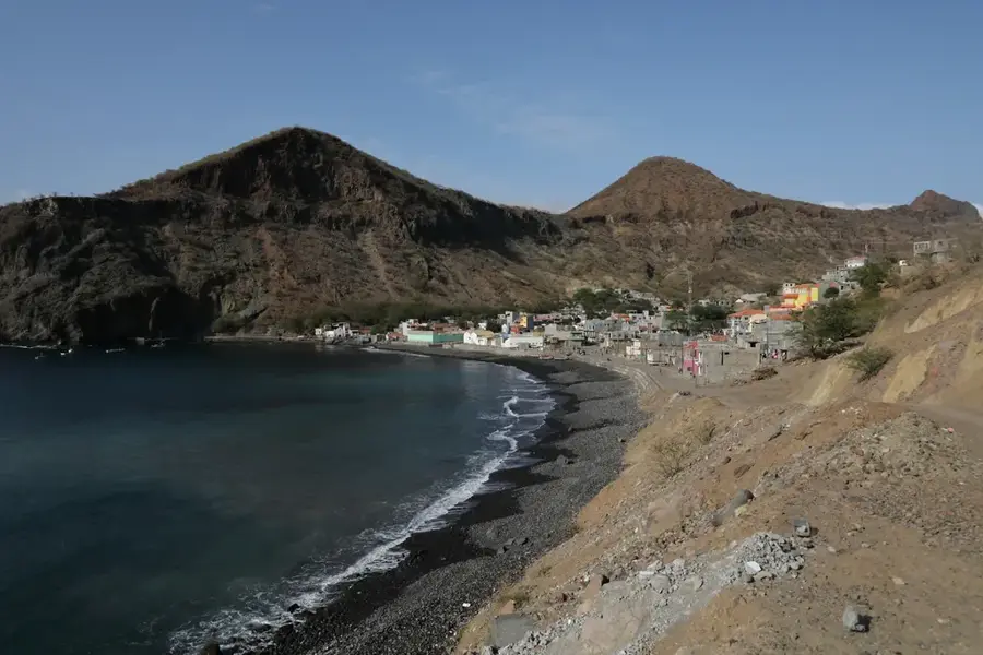
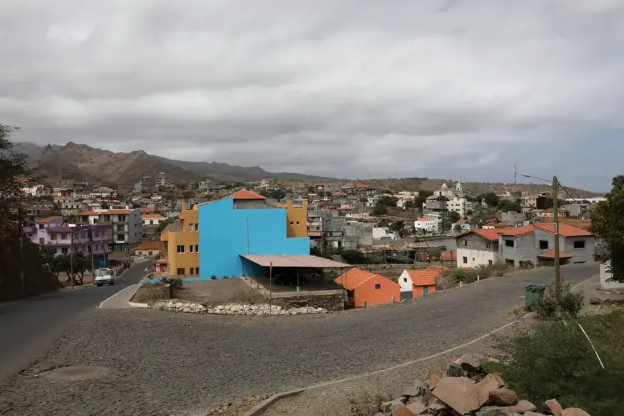
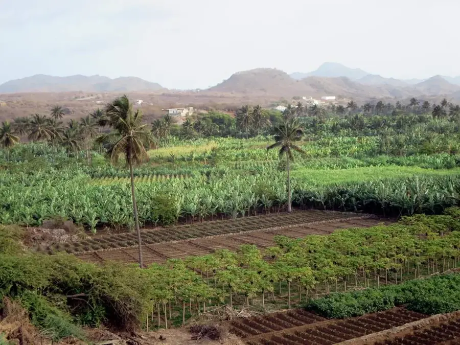
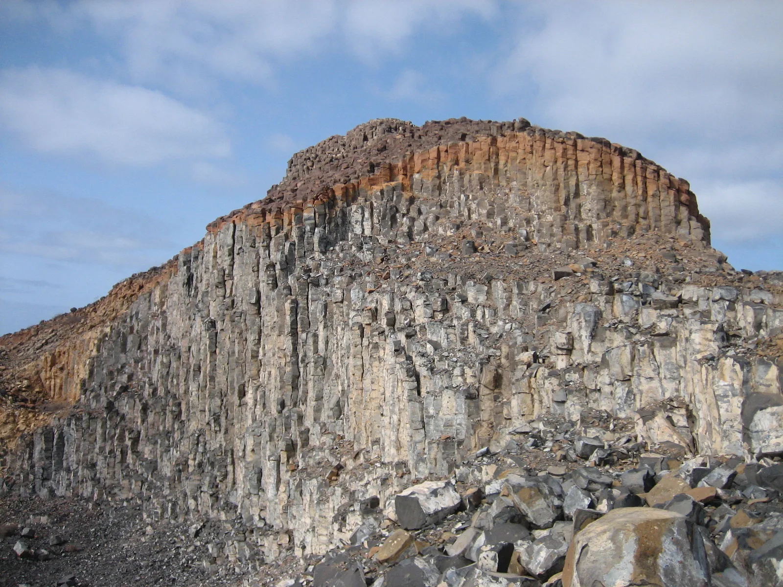
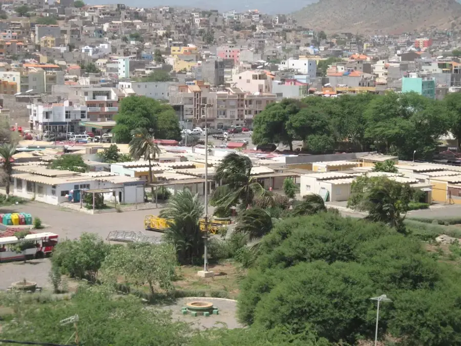
Monte Tchota is a prominent mountain peak located on the island of Santiago within the Republic of Cape Verde, reaching an elevation of approximately 1,064 meters above sea level. Situated in the central highlands, it forms part of the rugged volcanic mountain range that characterizes the interior of the island. The area is notable for its unique microclimate, which is significantly cooler and more humid than the coastal plains, allowing for the cultivation of specialized crops such as coffee, sisal, and various citrus fruits. Historically, the peak has served as a vital strategic point for the nation's telecommunications network, housing major transmitter towers for television, radio, and mobile services due to its height and unobstructed views across much of Santiago. The surrounding environment is characterized by steep slopes and basaltic rock formations, reflecting the island's volcanic origins dating back millions of years. It is also an important site for biodiversity, providing a habitat for several endemic plant species that thrive in the mist-shrouded high altitudes. The mountain is a key geographic feature for understanding the island's hydrological cycle, as it helps trap moisture from the prevailing trade winds, feeding the subterranean aquifers.
- Location: Cape Verde
- Top sights: Pico d'Antónia · Monte Tchota · Parque Natural do Santo António
- Nearby: Picos (5 km)
Best time to visit & climate
The most pleasant time to visit is Feb–Apr.
| Jan | Feb | Mar | Apr | May | Jun | Jul | Aug | Sep | Oct | Nov | Dec | |
|---|---|---|---|---|---|---|---|---|---|---|---|---|
| Avg °C | 23 | 22 | 22 | 23 | 23 | 24 | 25 | 27 | 27 | 27 | 26 | 24 |
| Rain mm | 22 | 20 | 8 | 5 | 4 | 4 | 12 | 56 | 82 | 45 | 37 | 30 |
📋 Practical info
Geography
Facts
- The peak reaches a maximum elevation of 1,064 meters (3,491 feet) above sea level.
- It is located on Santiago Island, the largest island in the Cape Verde archipelago.
- The mountain serves as the primary hub for national telecommunications and broadcasting.
- The surrounding high-altitude climate supports coffee plantations established in the 1800s.
- It is part of a volcanic formation that is millions of years old.
- The area is frequently covered in orographic clouds, providing essential moisture to the soil.
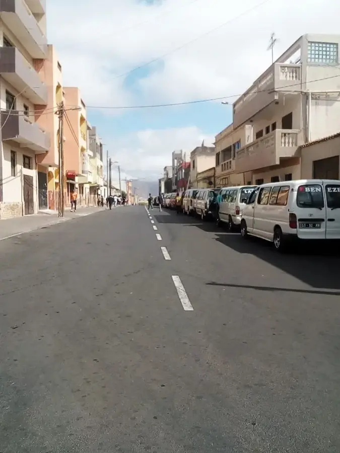
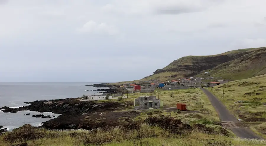
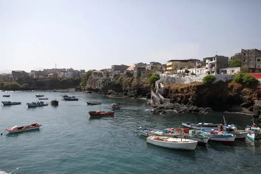
Explore nearby
Notable places around
Route planner — Car & Motorhome
Where do you start? We build the route here, with stops and country notes along the way.
© OpenStreetMap contributors · OpenRouteService
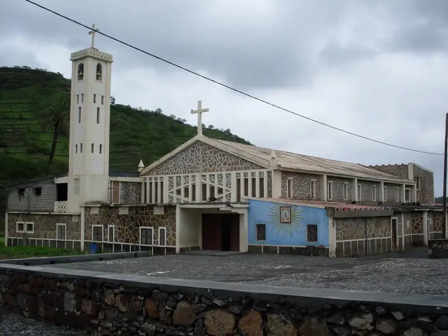
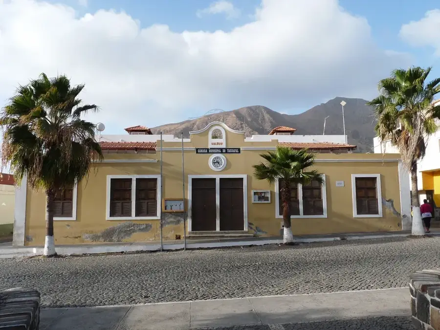
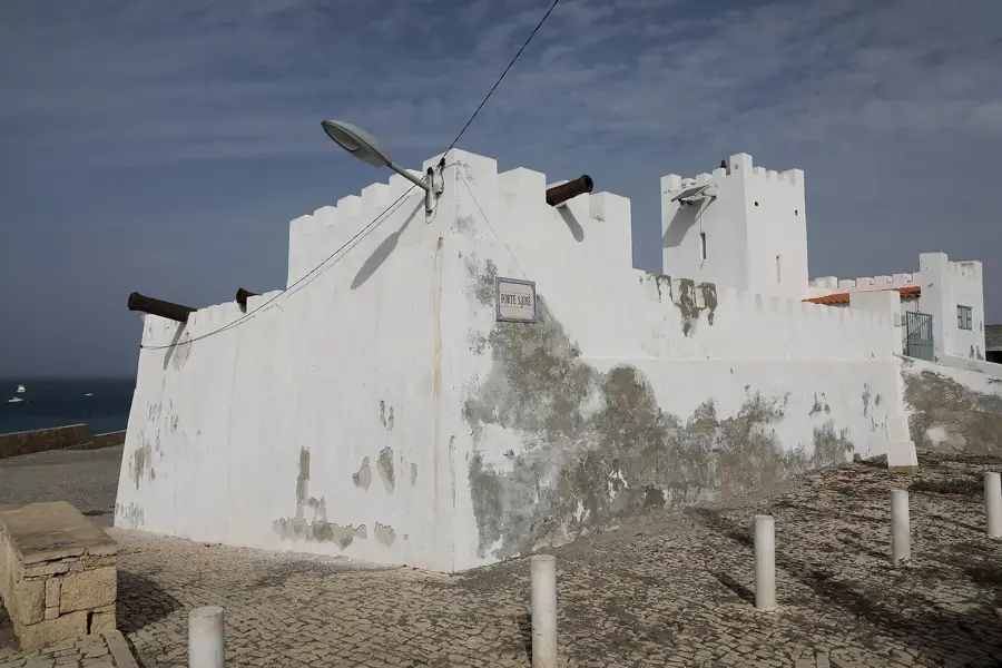
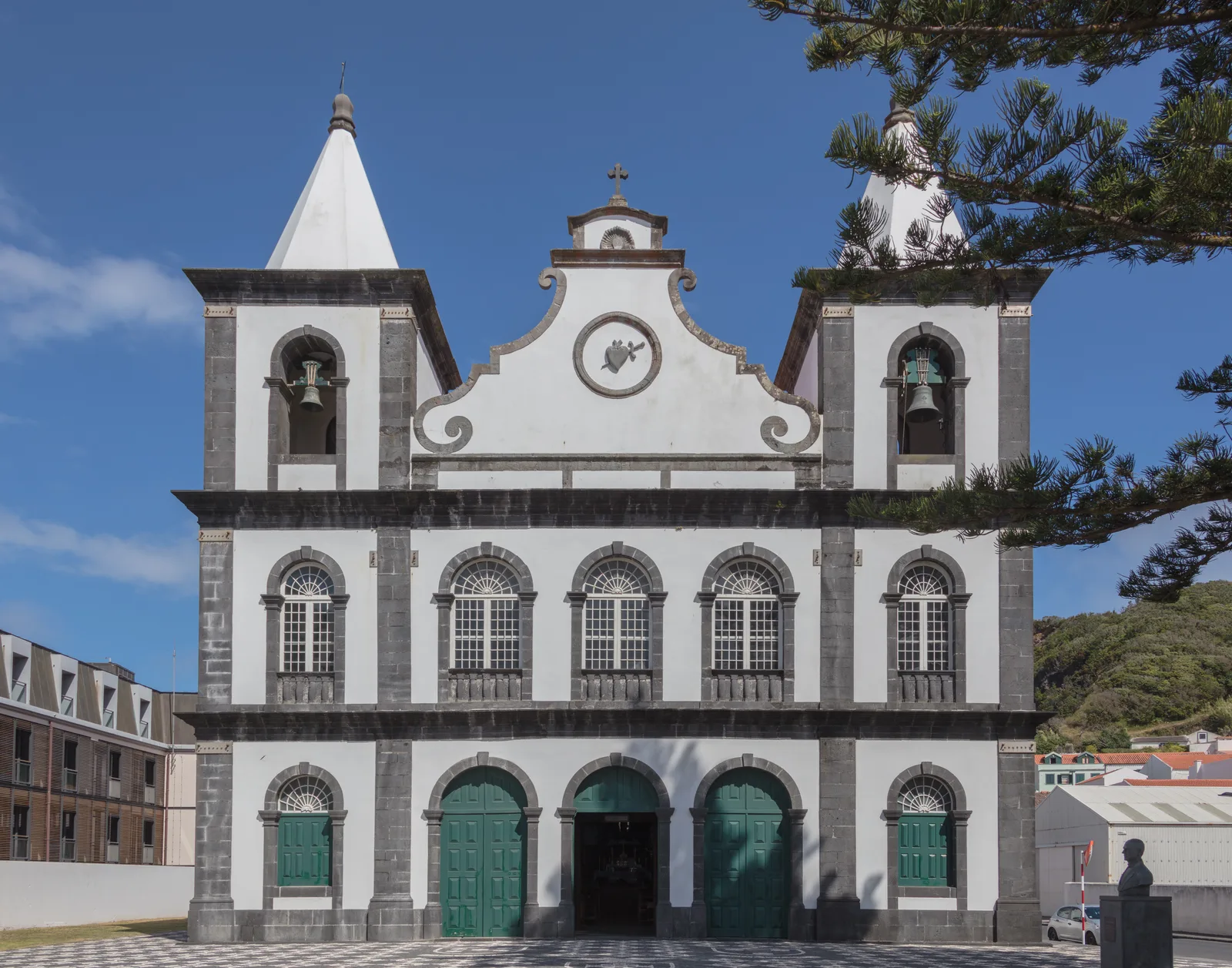
Sights in the town Monte Tchota (3)
Sights nearby
Frequently asked questions
What is special about Monte Tchota?
Can you hike there?
Is there a forest there?
How do you get there?
Are there accommodation options?
Monte Tchota: where is it located?
Monte Tchota: what is there to see?
Monte Tchota: when is the best time to visit?
Monte Tchota: why is it worth visiting?

Nearby cities


History & landmarks
More places