Plizio Visual Lab
Serra Malagueta
Weather…
Water temperature…
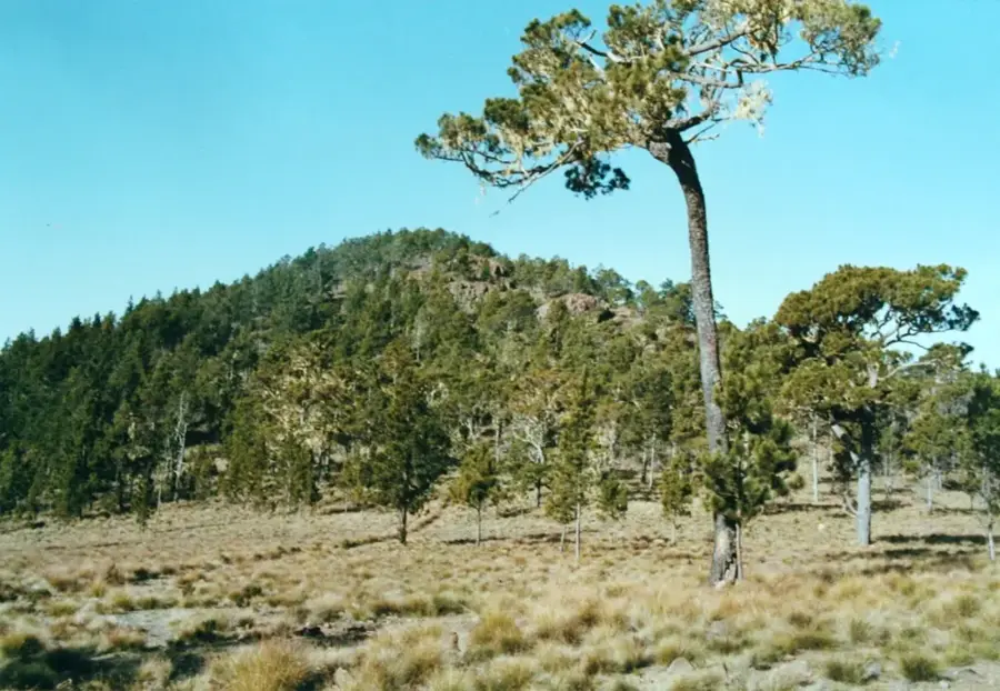
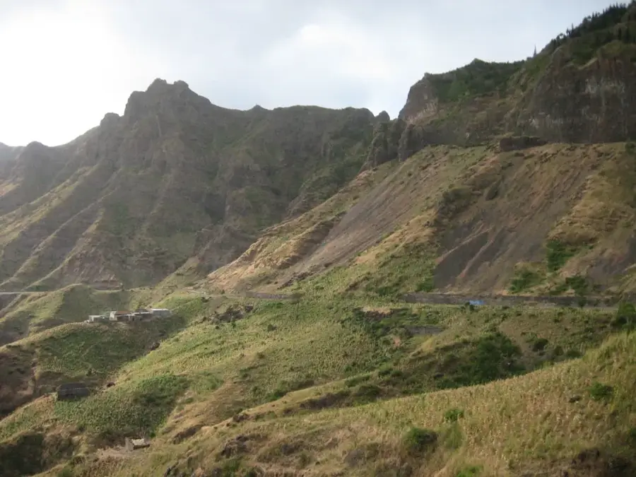
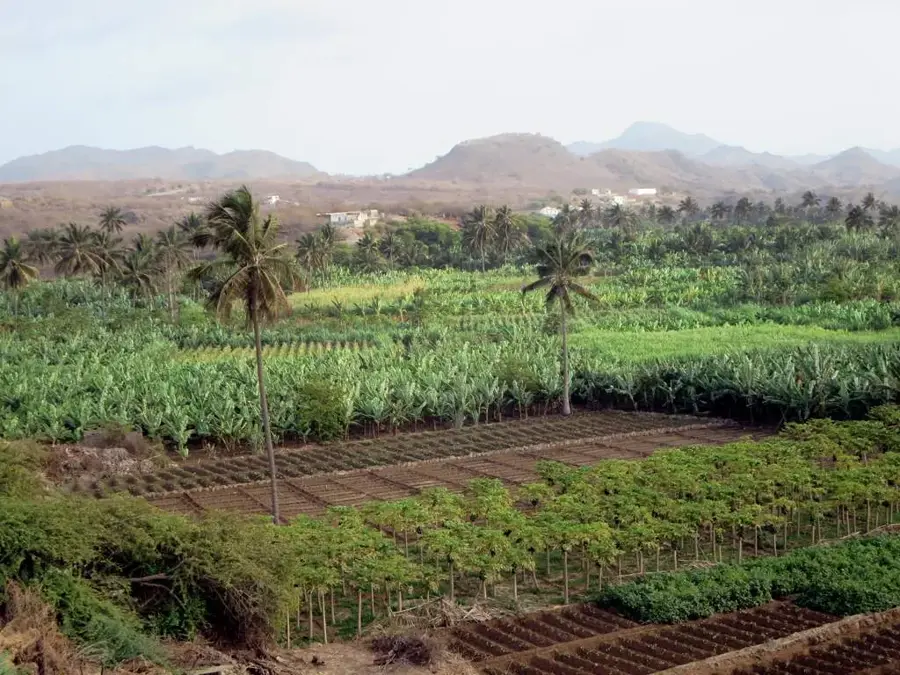
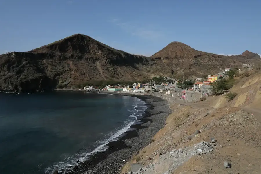
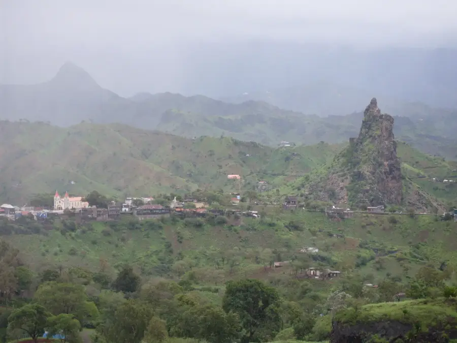
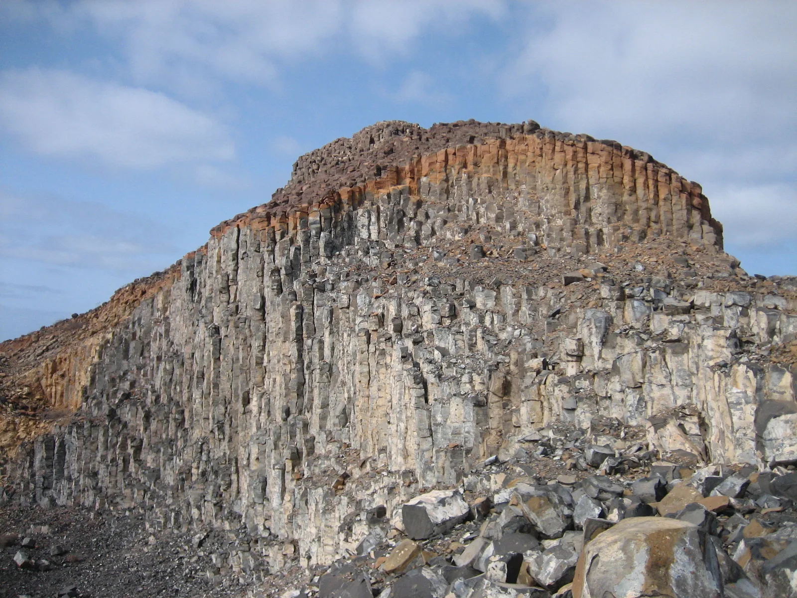
Serra Malagueta is a prominent mountain range in the northern part of Santiago island and serves as the core of a vital Natural Park. Reaching elevations up to 1064 meters, the massif is crucial to the local ecosystem as it captures moisture from persistent mists, feeding the island's water resources. The Serra Malagueta Natural Park was established in 2003 to protect one of the island's most significant forested areas and its diverse endemic flora and fauna. The landscape is characterized by dramatic ridges, deep canyons, and terraced slopes where local communities practice traditional agriculture. Botanically, the area is noted for the Cape Verdean lavender and other rare species. The park gives an extensive trail system for hikers, providing memorable vistas of Santiago's northern coastline and views across the ocean to the volcano of Fogo.
- Location: Cape Verde
- Top sights: Monte Pedroso · Viewpoint · Parque Natural De Serra Malagueta
- Nearby: Achada Monte (5 km)
Best time to visit & climate
The most pleasant time to visit is Feb–Apr.
| Jan | Feb | Mar | Apr | May | Jun | Jul | Aug | Sep | Oct | Nov | Dec | |
|---|---|---|---|---|---|---|---|---|---|---|---|---|
| Avg °C | 23 | 22 | 22 | 23 | 23 | 24 | 25 | 27 | 27 | 27 | 26 | 24 |
| Rain mm | 22 | 20 | 8 | 5 | 4 | 4 | 12 | 56 | 82 | 45 | 37 | 30 |
📋 Practical info
Geography
Facts
- Highest peak in the range (1064m)
- Established as a Natural Park in 2003
- Critical cloud forest region on Santiago
- Protected area for endemic flora and fauna
- Notable for its traditional terraced farming
- Offers scenic views toward Fogo island
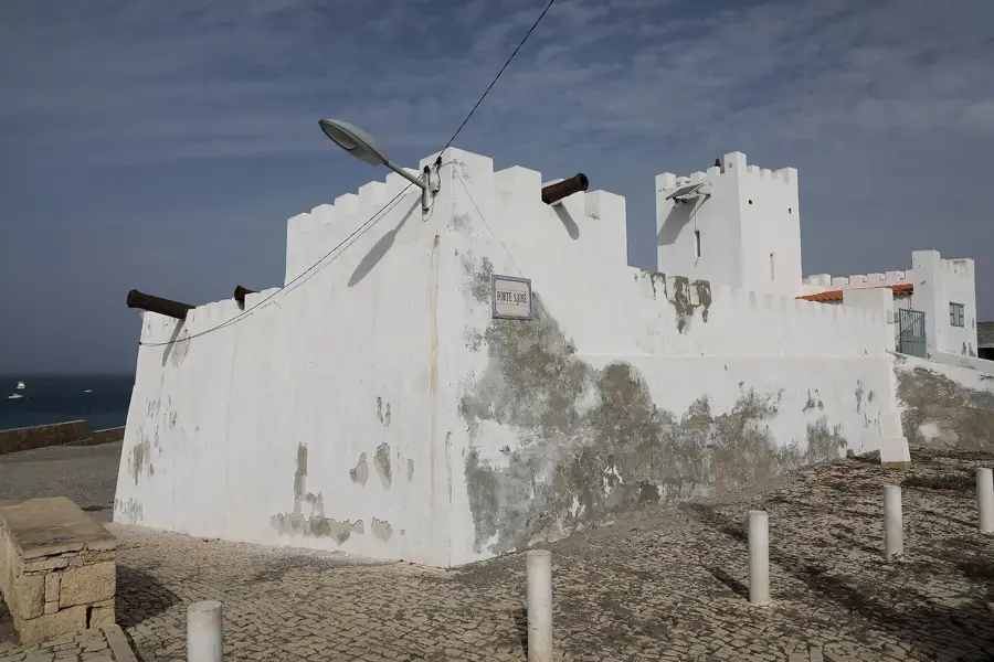
Explore nearby
Notable places around
Route planner — Car & Motorhome
Where do you start? We build the route here, with stops and country notes along the way.
© OpenStreetMap contributors · OpenRouteService
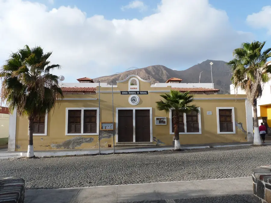
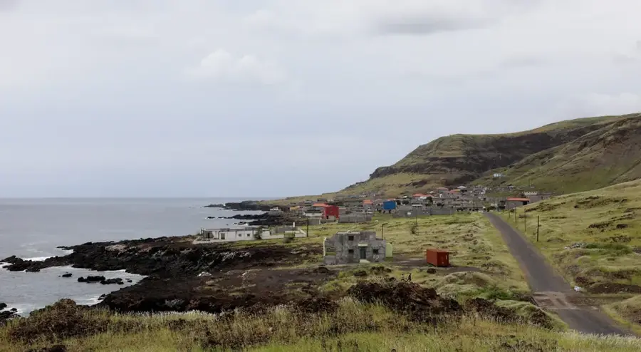
Sights in the town Serra Malagueta (3)
Sights nearby
Frequently asked questions
Which hike is the most popular?
Is there an entrance fee?
Can you see endemic birds there?
Are the paths suitable for beginners?
How do you get there from Praia?
Serra Malagueta: where is it located?
Serra Malagueta: what is there to see?
Serra Malagueta: when is the best time to visit?
Serra Malagueta: why is it worth visiting?

Nearby cities


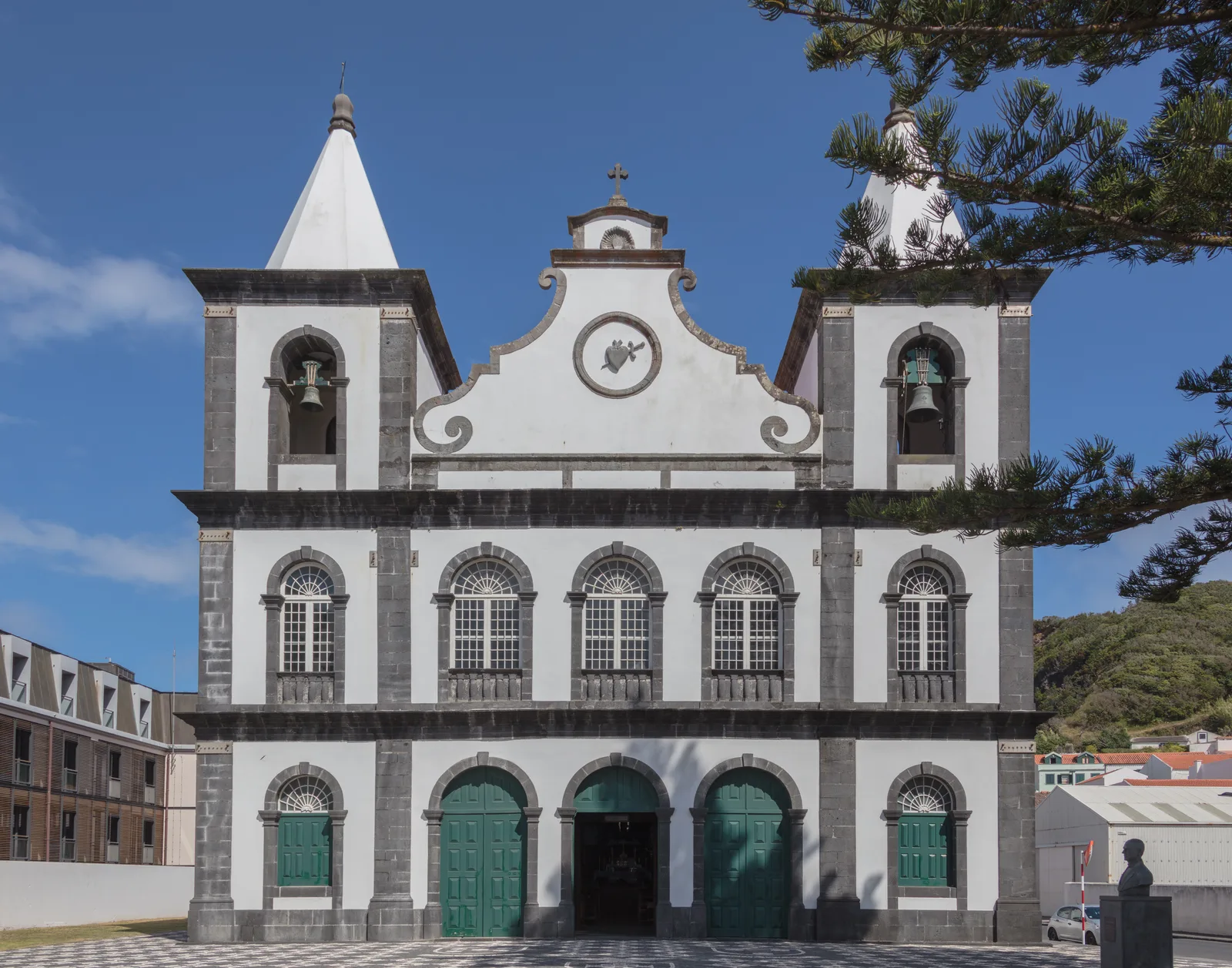
History & landmarks
More places