Plizio Visual Lab
Monte Penoso

Weather…
Water temperature…
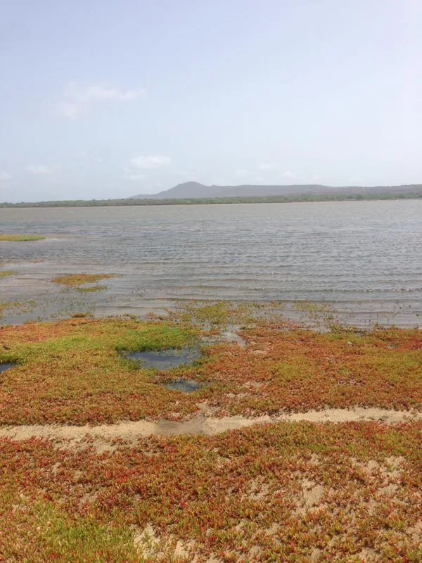
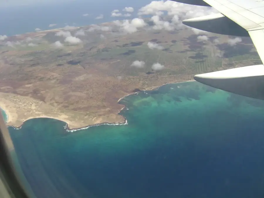
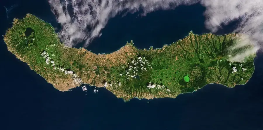
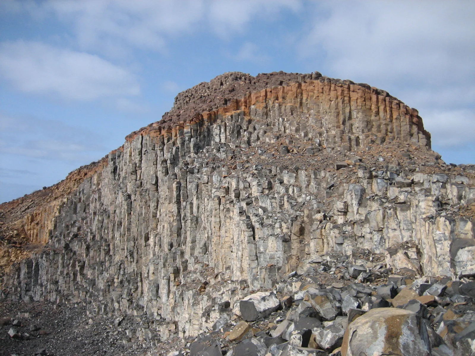
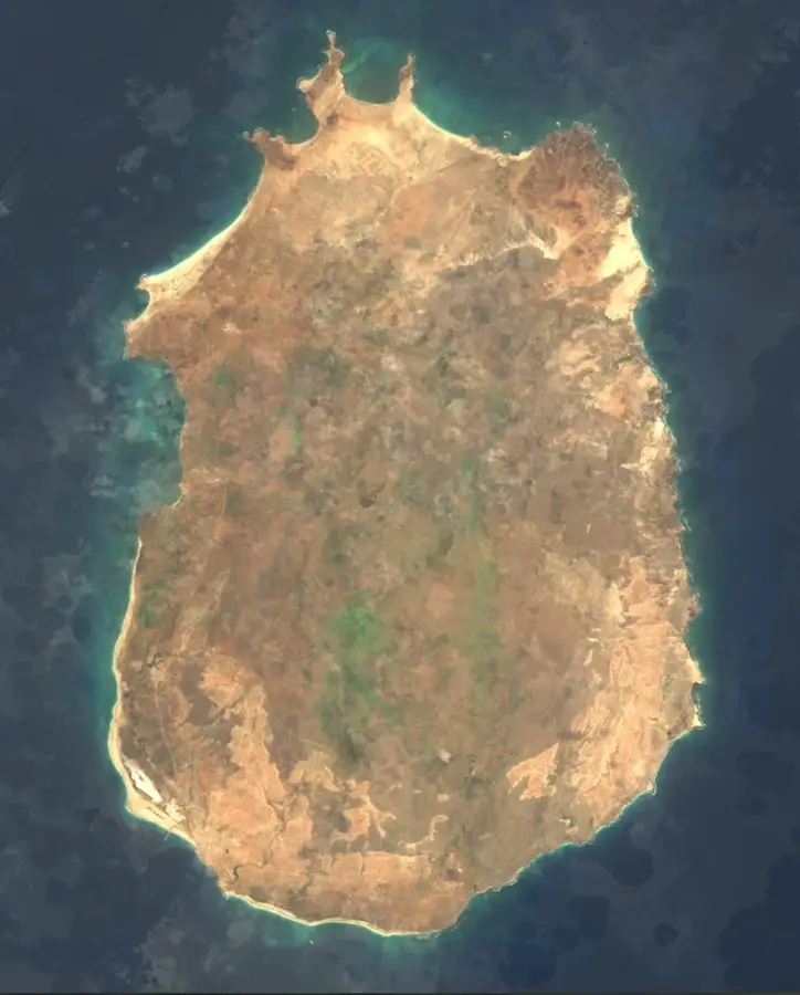
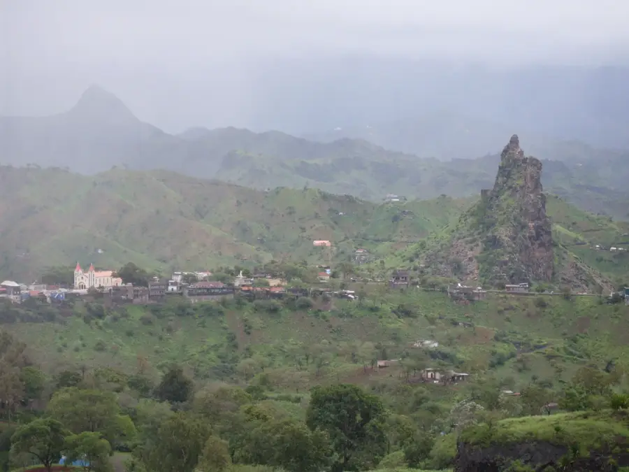
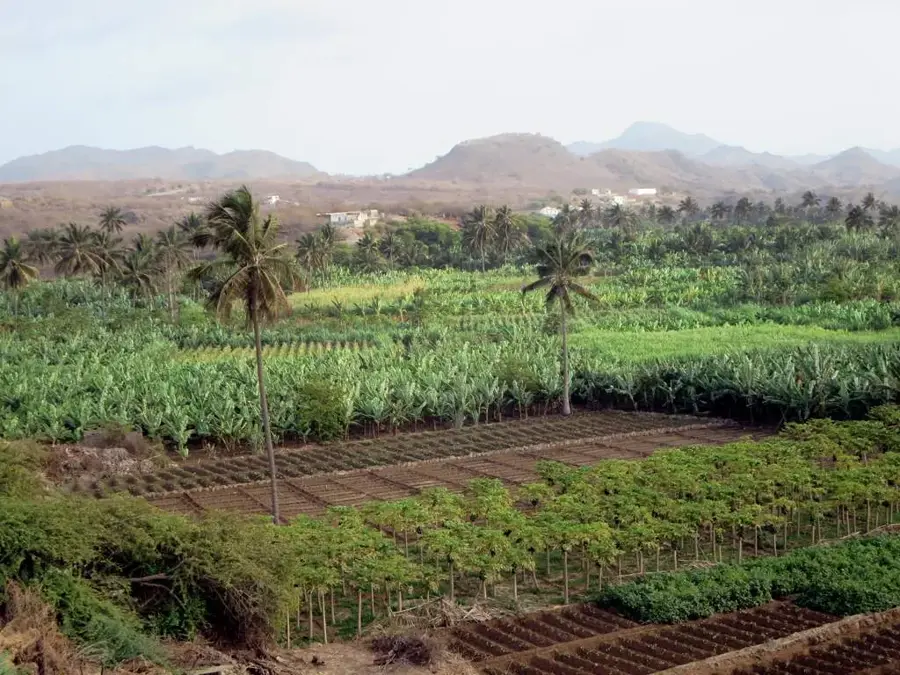
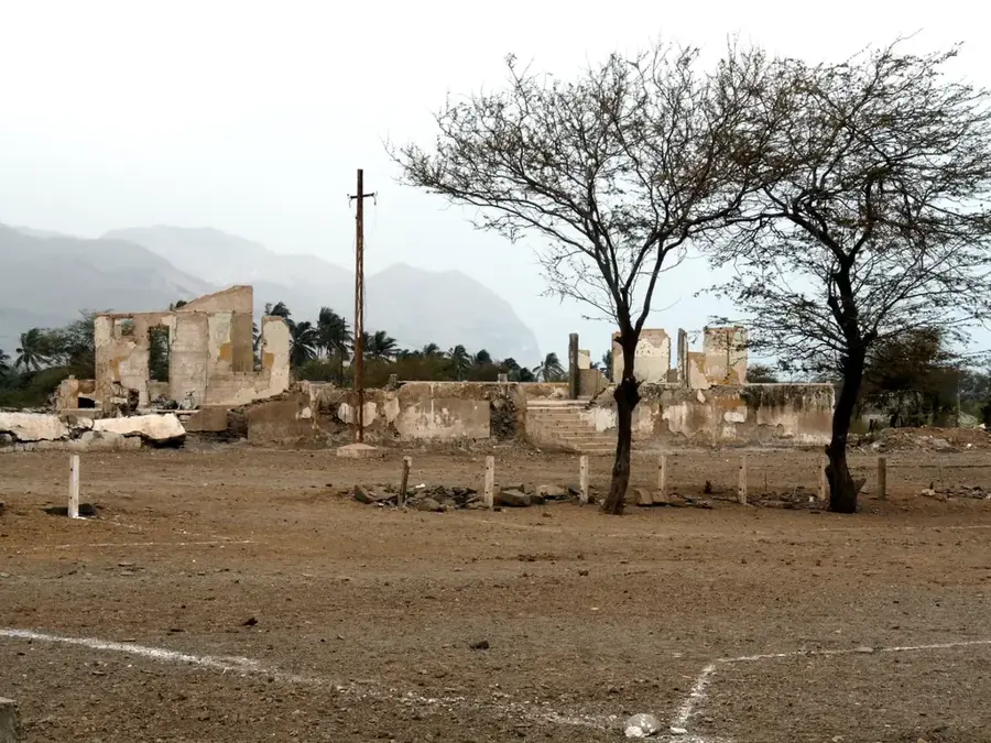
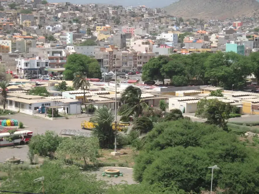
Monte Penoso is the highest peak on the island of Maio, rising to an elevation of 436 meters and forming the core of a significant protected area. Located in the eastern part of the island, the mountain serves as a prominent landmark of Maio's volcanic origins, standing in sharp contrast to the surrounding eroded landscape. Its geological structure is primarily composed of phonolitic rock and ancient lava domes that rise steeply from the coastal plains. Due to its relative isolation, Monte Penoso shelters several endemic plant species that are rarely found in the more arid regions of the island. The plateau surrounding the mountain provides a vital habitat for endangered bird species and remains a key site for geologists studying the island's uplift history. From the summit, visitors can enjoy the most extensive views of Maio, stretching from the salt flats in the west to the pristine, deserted beaches along the eastern coast. The hike to the top is moderately challenging and is highly recommended for nature enthusiasts looking to discover the quiet beauty of this off-the-beaten-path island.
- Location: Cape Verde
- Top sights: Monte Penoso · Parque Natural do Norte · Praiona
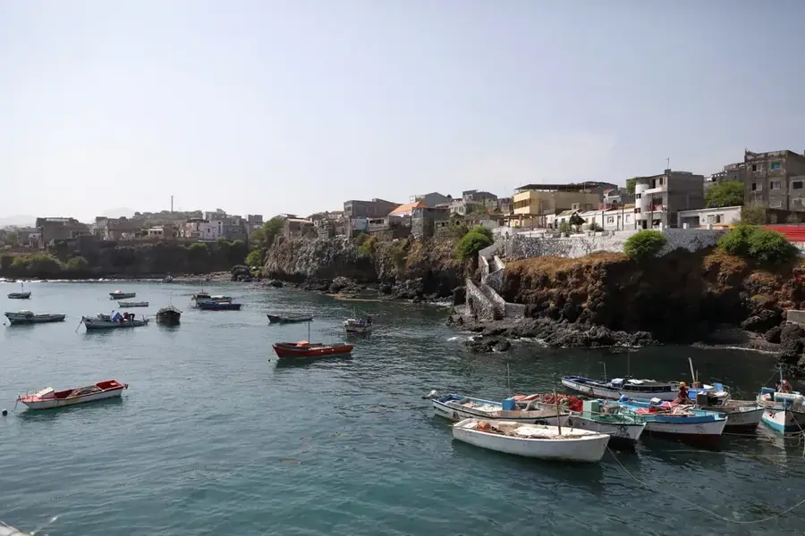
- Nearby: Figueira da Horta (6 km)
Best time to visit & climate
The most pleasant time to visit is Feb–Apr.
| Jan | Feb | Mar | Apr | May | Jun | Jul | Aug | Sep | Oct | Nov | Dec | |
|---|---|---|---|---|---|---|---|---|---|---|---|---|
| Avg °C | 23 | 22 | 22 | 22 | 23 | 24 | 25 | 27 | 27 | 27 | 26 | 24 |
| Rain mm | 25 | 17 | 12 | 4 | 3 | 4 | 13 | 59 | 85 | 49 | 36 | 29 |
📋 Practical info
Geography
Facts
- The highest point of Monte Penoso stands at exactly 436 meters above sea level.
- The Monte Penoso protected area covers approximately 11 square kilometers.
- The volcanic rocks forming the mountain are estimated to be 8 to 12 million years old.
- Several rare species of cacti and spurges thrive on its rocky slopes.
- Visibility from the summit extends to the neighboring island of Santiago on clear days.
- The mountain is officially designated as a 'Monumento Natural' (Natural Monument).
Explore nearby
Notable places around
Route planner — Car & Motorhome
Where do you start? We build the route here, with stops and country notes along the way.
© OpenStreetMap contributors · OpenRouteService
Sights in the town Monte Penoso (5)
Sights nearby
Frequently asked questions
Where is Monte Penoso located?
How high is the summit?
Is the area forested?
Is the hike worth it?
What should you keep in mind?
Monte Penoso: where is it located?
Monte Penoso: what is there to see?
Monte Penoso: when is the best time to visit?
Monte Penoso: why is it worth visiting?

Nearby cities


History & landmarks
More places