Plizio Visual Lab
Monte Batalha
Weather…
Water temperature…
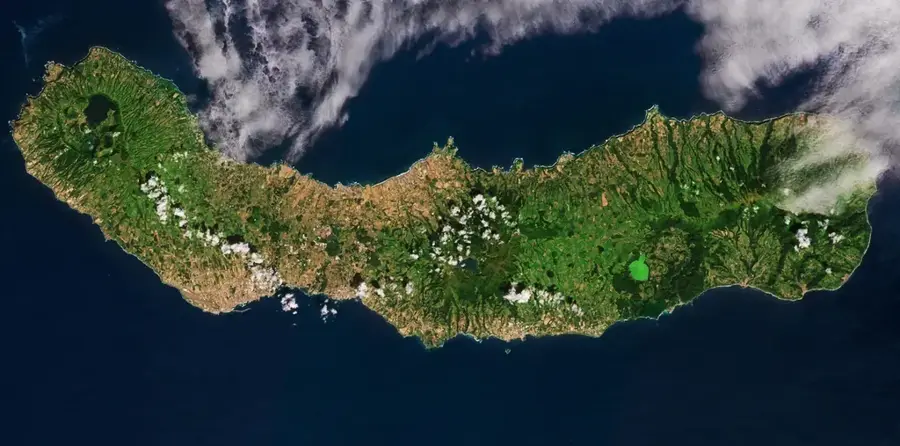
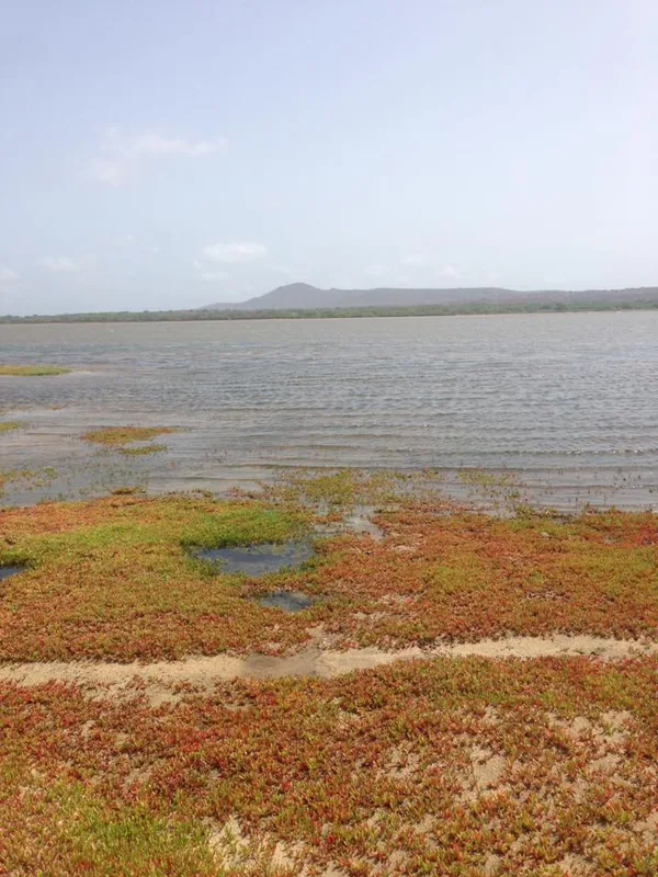
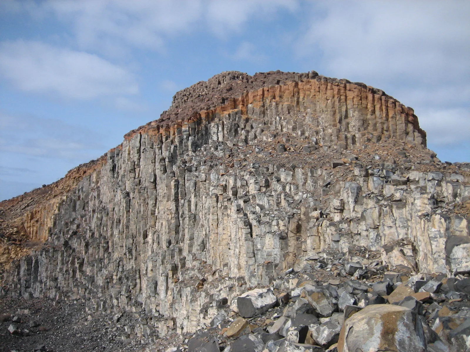
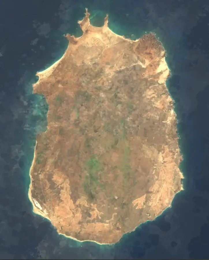
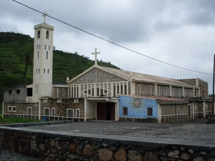
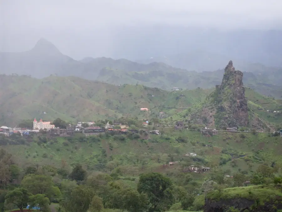
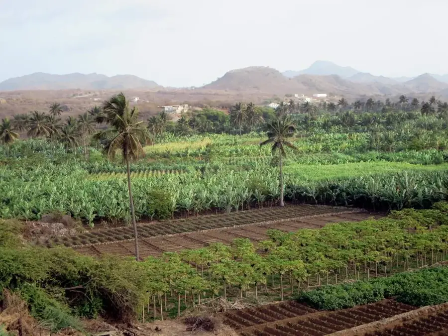
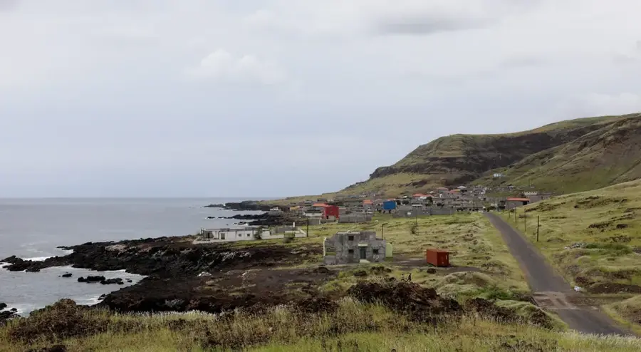
Monte Batalha is a distinct geological formation in the northern part of Maio Island, characterized by its prominent conical shape. Rising to an elevation of approximately 190 meters, it is shorter than Monte Penoso but remains a dominant feature within the surrounding semi-desert landscape. The mountain is part of a series of volcanic remnants that provide evidence of the island's complex evolutionary history. Its slopes are mostly barren, yet they display fascinating geological outcrops that are significant for the study of regional tectonics. Small rural communities are located near the mountain, where residents maintain traditional lifestyles centered on goat herding and dryland farming. Monte Batalha often serves as a navigational landmark for locals and is steeped in local folklore regarding the early settlement of the island. Hikers enjoy the short but steep climb for its rewarding views of Maio's northern coastline and the surrounding acacia forests planted as part of reforestation efforts.
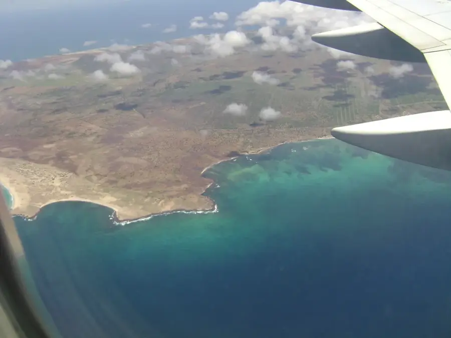
- Location: Cape Verde
- Nearby: Pedro Vaz (7 km)
Best time to visit & climate
The most pleasant time to visit is Feb–Apr.
| Jan | Feb | Mar | Apr | May | Jun | Jul | Aug | Sep | Oct | Nov | Dec | |
|---|---|---|---|---|---|---|---|---|---|---|---|---|
| Avg °C | 23 | 22 | 22 | 22 | 23 | 24 | 25 | 27 | 27 | 27 | 26 | 24 |
| Rain mm | 25 | 17 | 12 | 4 | 3 | 4 | 13 | 59 | 85 | 49 | 36 | 29 |
📋 Practical info
Geography
Facts
- The summit of Monte Batalha reaches an elevation of around 190 meters.
- The mountain is situated in the north-central region of Maio Island.
- Geologically, the formation consists predominantly of basaltic rock.
- A significant reforestation project featuring acacia trees is located nearby.
- The name 'Batalha' translates to 'battle' in the Portuguese language.
- Reaching the summit typically takes an experienced hiker less than 45 minutes.
Explore nearby
Notable places around
Route planner — Car & Motorhome
Where do you start? We build the route here, with stops and country notes along the way.
© OpenStreetMap contributors · OpenRouteService
Sights nearby
Frequently asked questions
What is Monte Batalha?
How do you reach the mountain?
Are there hiking trails?
What vegetation can be found there?
Is the mountain suitable for families?
Monte Batalha: where is it located?
Monte Batalha: when is the best time to visit?
Monte Batalha: why is it worth visiting?

Nearby cities


History & landmarks
More places