Plizio Visual Lab
Monte Estância
Weather…
Water temperature…
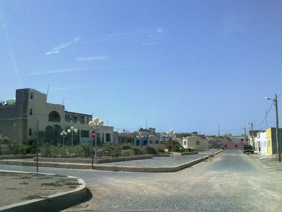
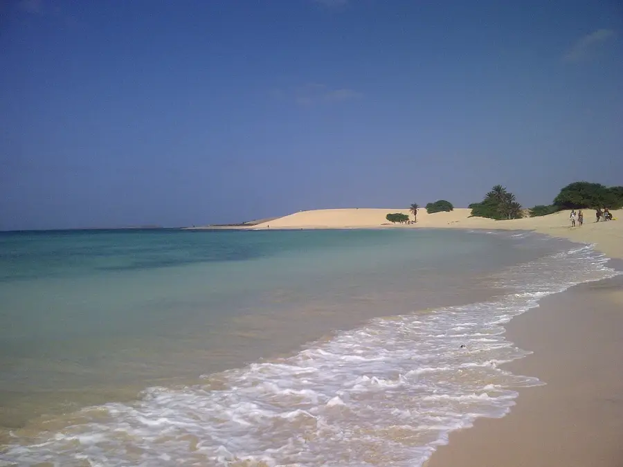
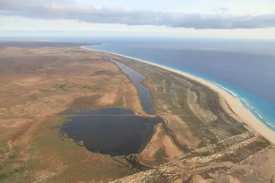
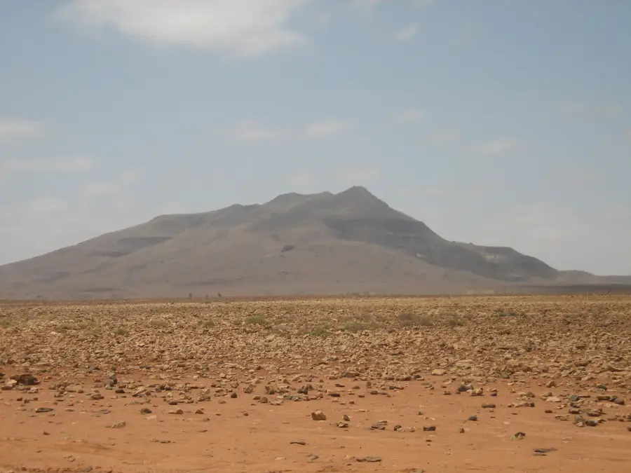
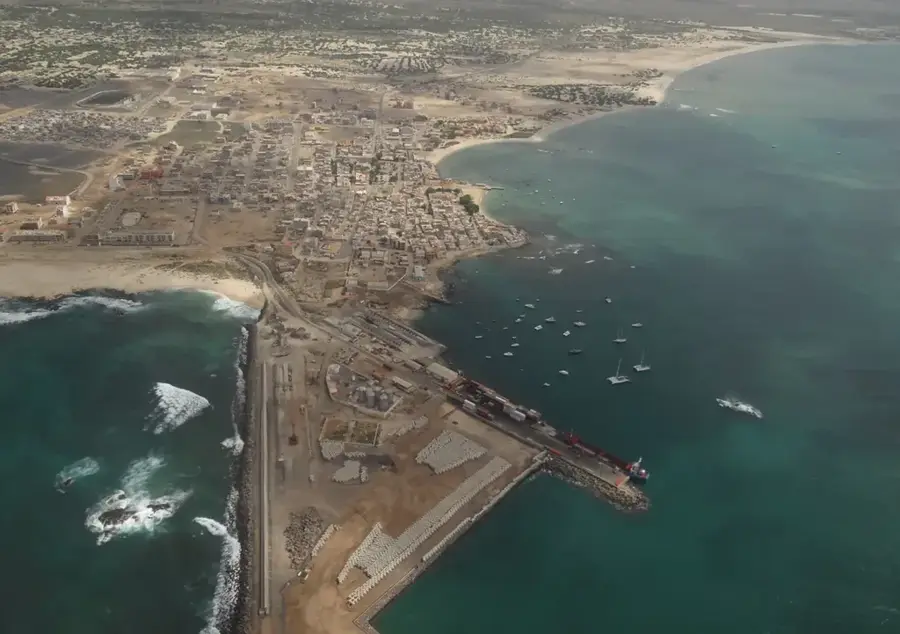
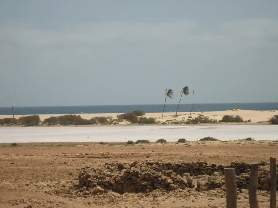
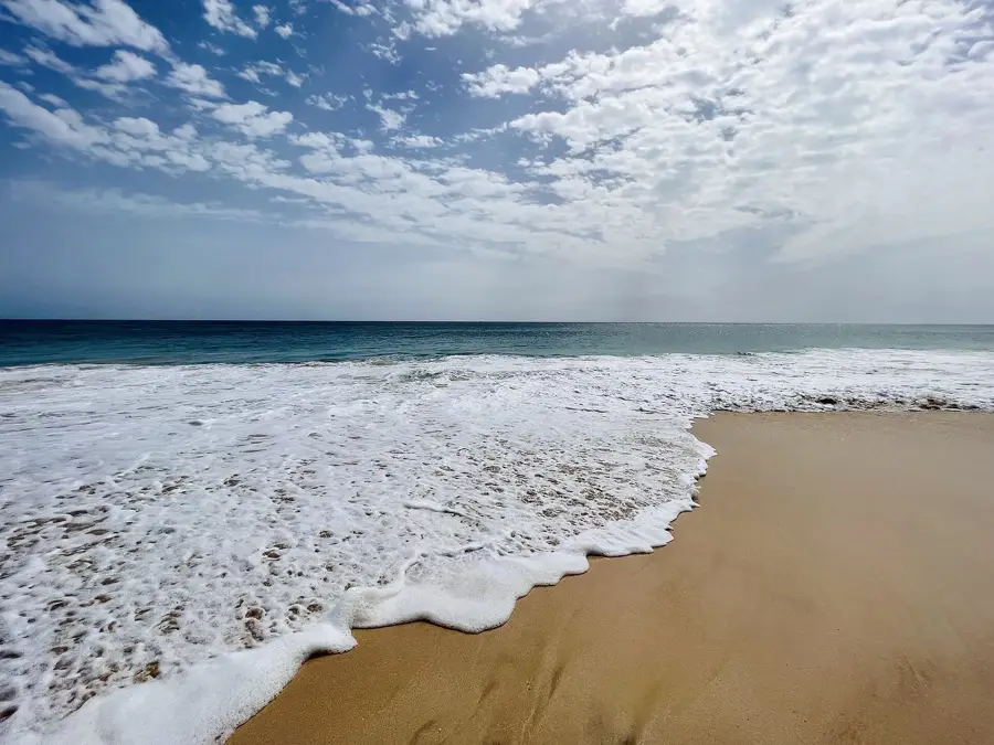
Monte Estância is the highest point on the island of Boa Vista in Cape Verde, reaching an altitude of 387 meters. Located in the southeastern part of the island, it serves as a prominent geological landmark in an otherwise flat and desert-like landscape. The mountain is of volcanic origin, primarily composed of phonolitic rock that has been shaped by erosion over thousands of years. The flora on Monte Estância is sparse and adapted to arid conditions, hosting rare endemic plant species such as Cape Verdean lavender. Historically, the mountain's prominent position made it a strategic lookout point for monitoring the coastline and spotting incoming vessels. From its summit, hikers can enjoy panoramic views of the Viana Desert dunes and the pristine southern beaches. Despite its modest height compared to other islands, the ascent remains a challenge due to loose scree and intense sun exposure. The area is part of a protected natural park aimed at preserving the island's unique biodiversity.
- Location: Cape Verde
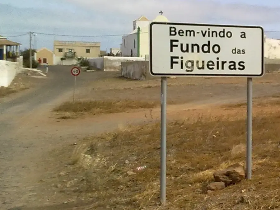
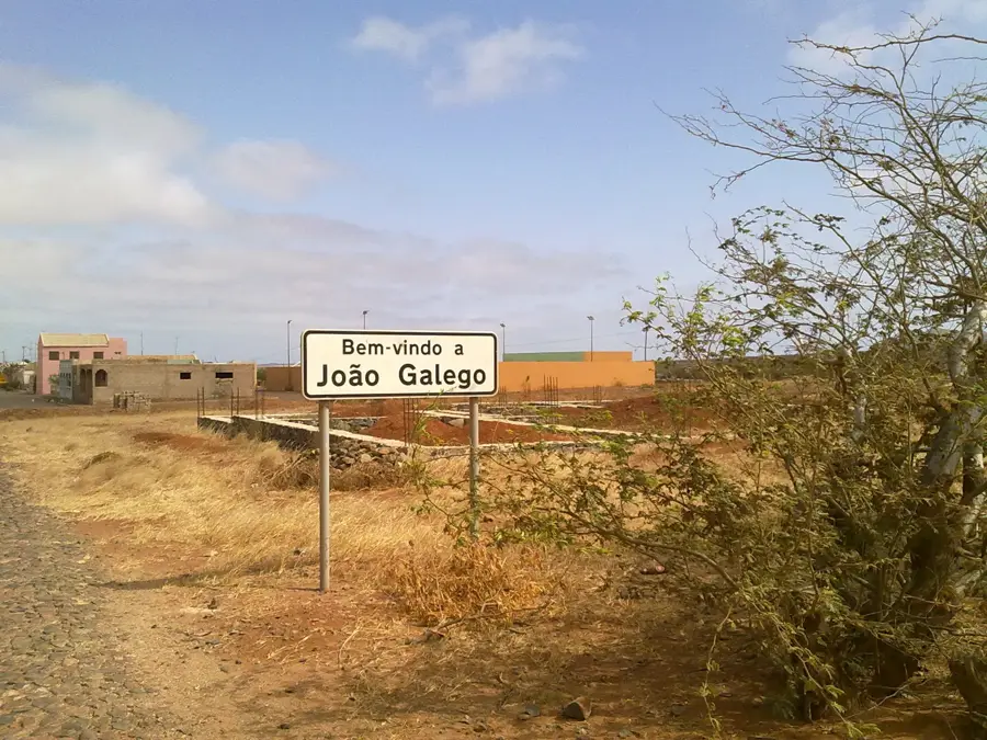
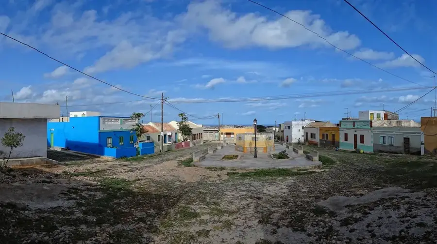
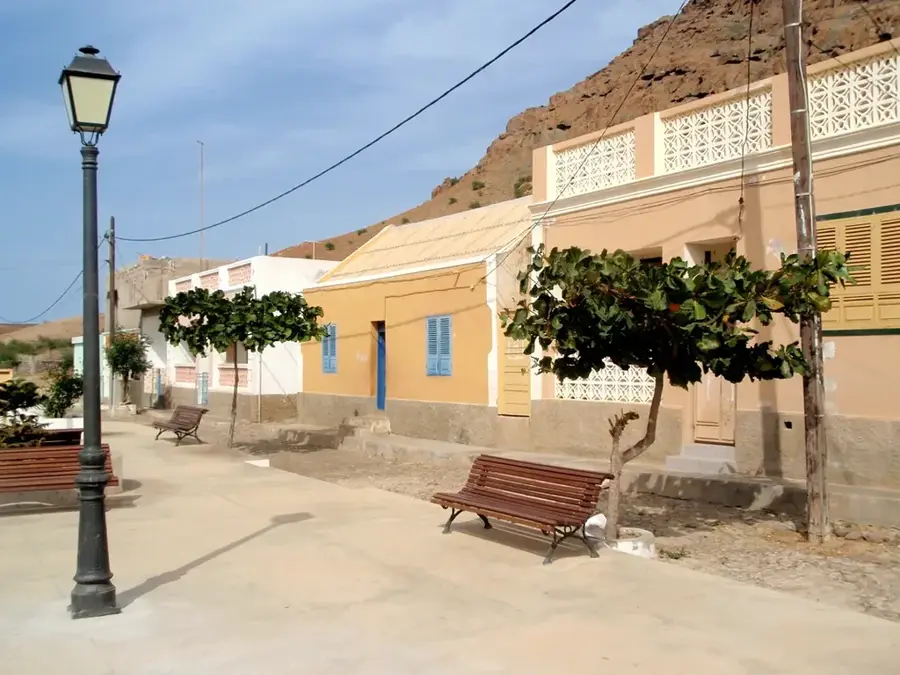
- Nearby: Fundo das Figueiras (6 km)
📋 Practical info
Geography
Facts
- Highest peak on Boa Vista Island at 387 meters.
- Composed of volcanic phonolitic rock formations.
- Habitat for rare endemic plants like Lavandula rotundifolia.
- Located in the southeastern quadrant of Boa Vista.
- Historically used as a lookout for maritime threats.
- Part of the protected Monte Estância Natural Monument.
Explore nearby
Notable places around
Route planner — Car & Motorhome
Where do you start? We build the route here, with stops and country notes along the way.
© OpenStreetMap contributors · OpenRouteService
Sights in the town Monte Estância (1)
Sights nearby
Frequently asked questions
Where is Monte Estância located?
How high is the mountain?
Can you go birdwatching there?
How difficult is the hike?
Are there archaeological finds there?
Monte Estância: where is it located?
Monte Estância: why is it worth visiting?

Nearby cities

More places