Plizio Visual Lab
Morro de Areia
Weather…
Water temperature…
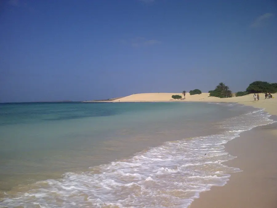
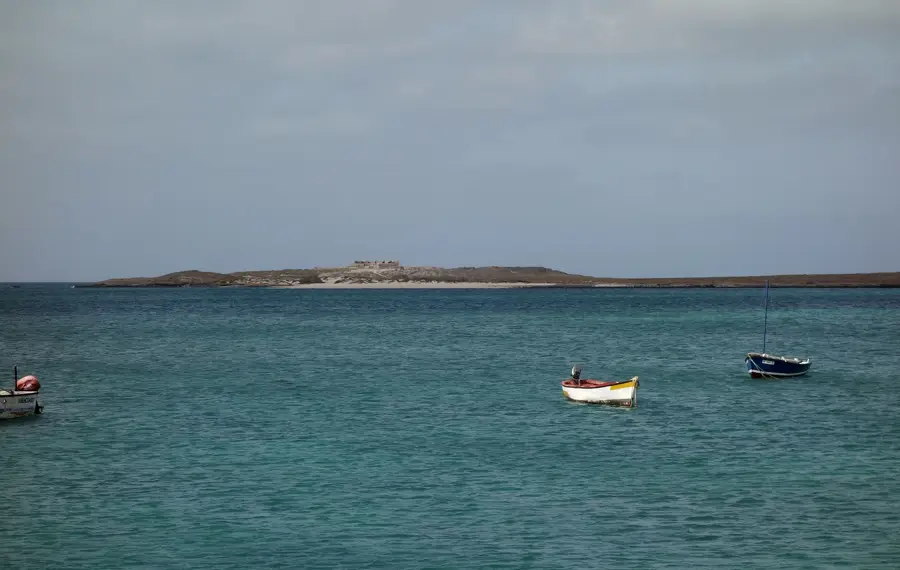
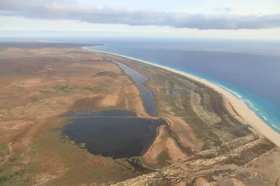
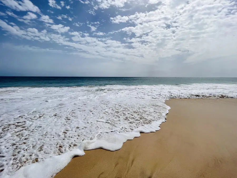
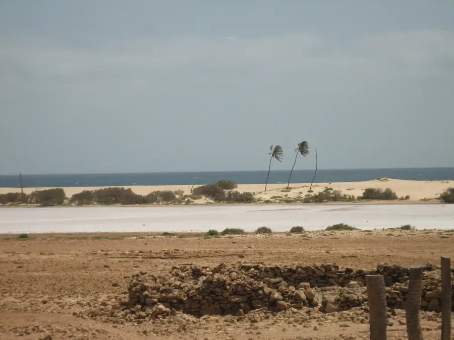
The Morro de Areia Nature Reserve is situated on the western coast of Boa Vista Island in Cape Verde, spanning an area of approximately 2,131 hectares. This protected area is renowned for its extensive system of migrating sand dunes, created by the accumulation of Saharan sand transported across the Atlantic Ocean by the prevailing northeast trade winds. Geographically, the reserve extends along the coastline from Praia de Chaves towards the southern beaches, featuring a unique interface between desert-like landscapes and volcanic rock outcrops. Morro de Areia serves as a critical nesting habitat for the Loggerhead sea turtle (Caretta caretta), making it a site of international ecological importance during the breeding season. The vegetation within the dunes consists of specialized pioneer species capable of surviving in high-salinity and low-moisture environments. The area is also home to various seabirds and endemic reptiles that find refuge in the undisturbed sandy terrain. Conservation efforts are focused on balancing environmental protection with increasing interest in eco-tourism, ensuring that the fragile dune structures remain intact. The dynamic nature of the landscape means that the topography is constantly reshaped by wind erosion, making it one of the most visually striking natural landmarks in Cape Verde.
- Location: Cape Verde
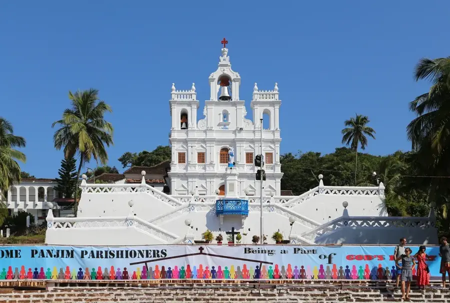
- Top sights: Nossa Senhora da Conceição · Praia da Farrapa · Praia de Chaves
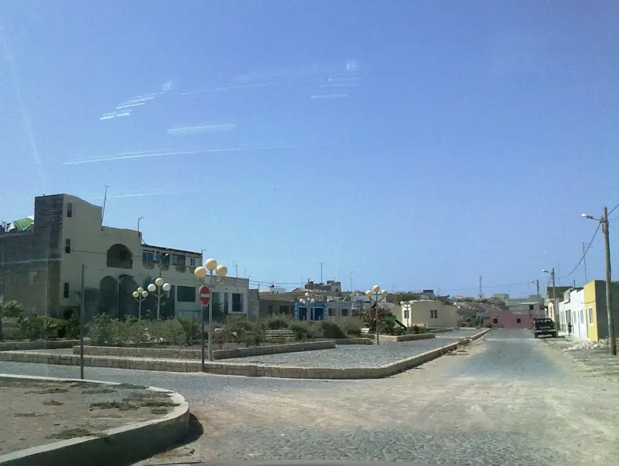
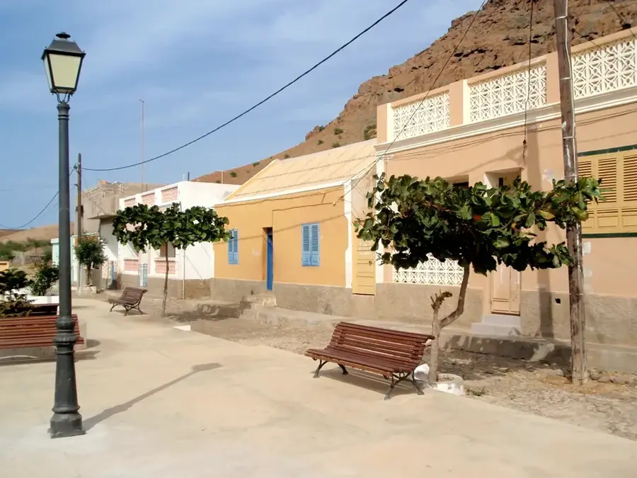
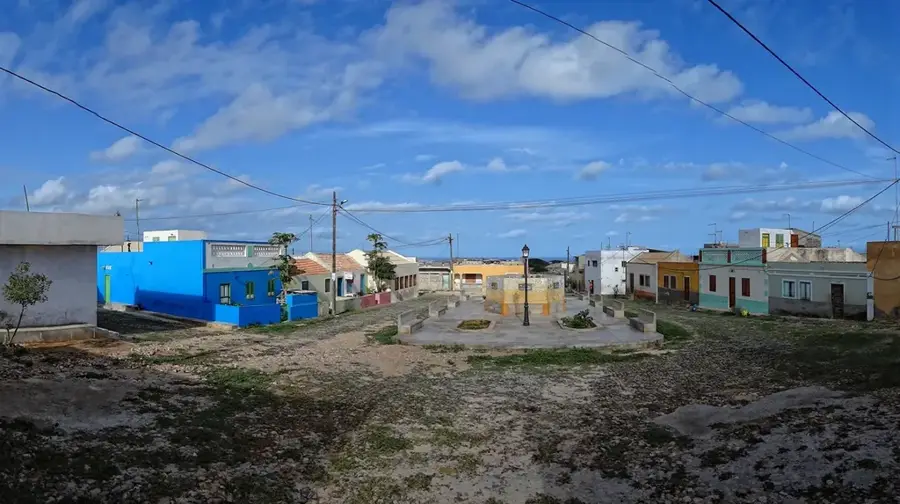
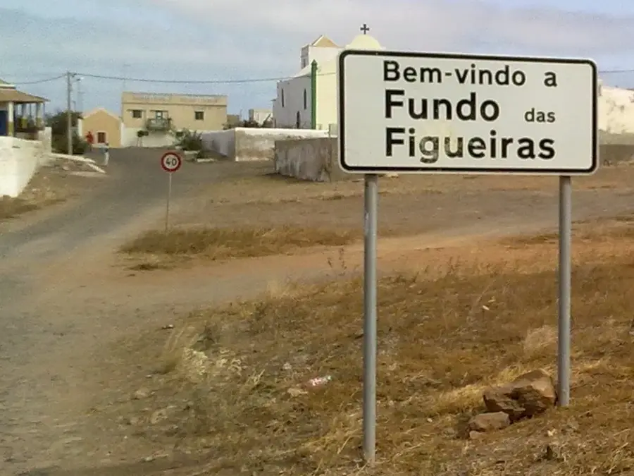
- Nearby: Povoação Velha (5 km)
Best time to visit & climate
The most pleasant time to visit is Feb–Apr.
| Jan | Feb | Mar | Apr | May | Jun | Jul | Aug | Sep | Oct | Nov | Dec | |
|---|---|---|---|---|---|---|---|---|---|---|---|---|
| Avg °C | 22 | 22 | 22 | 22 | 23 | 23 | 25 | 26 | 27 | 27 | 25 | 24 |
| Rain mm | 21 | 21 | 8 | 5 | 4 | 3 | 8 | 38 | 58 | 33 | 31 | 27 |
📋 Practical info
Geography
Facts
- The reserve covers a total area of approximately 2,131 hectares (5,266 acres).
- The sand is geologically identified as originating from the African continent.
- It is a primary nesting site for the endangered Loggerhead sea turtle.
- The dunes are dynamic, shifting their position based on seasonal wind patterns.
- The reserve was established to protect the coastal ecosystem from overdevelopment.
- Elevation varies significantly as sand accumulates against volcanic foundations.
Explore nearby
Notable places around
Route planner — Car & Motorhome
Where do you start? We build the route here, with stops and country notes along the way.
© OpenStreetMap contributors · OpenRouteService
Sights in the town Morro de Areia (4)
Sights nearby
Frequently asked questions
What is Morro de Areia?
Can you go swimming there?
Are there sharks there?
How do you reach the area?
What should you definitely do?
Morro de Areia: where is it located?
Morro de Areia: what is there to see?
Morro de Areia: when is the best time to visit?
Morro de Areia: why is it worth visiting?

Nearby cities

More places