Plizio Visual Lab
Mondulkiri Plateau
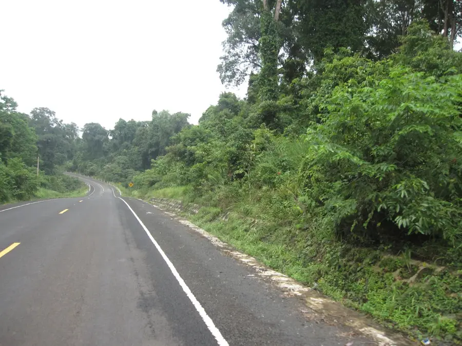
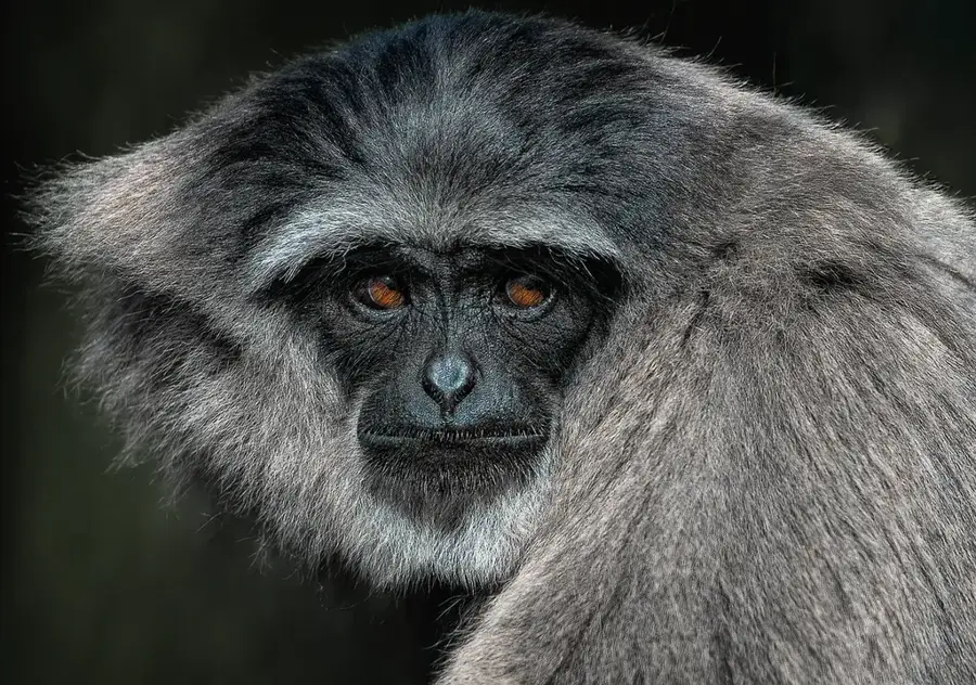
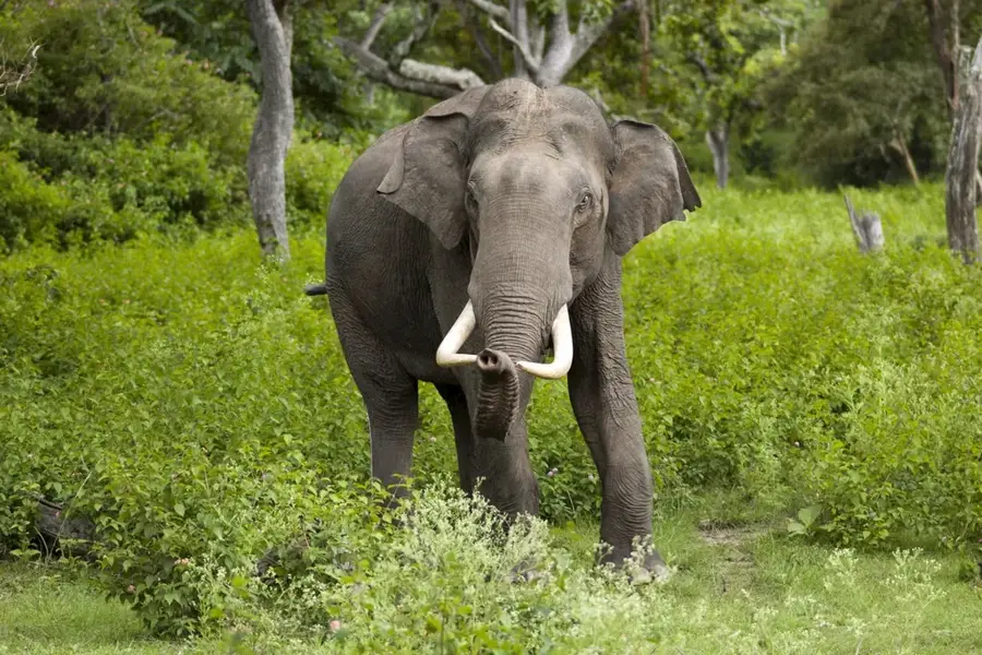
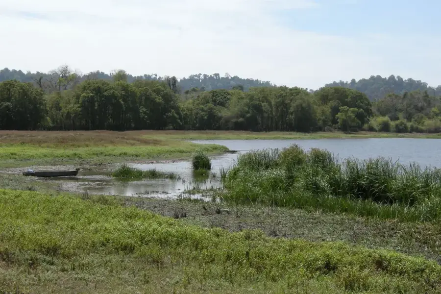
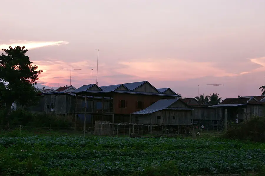
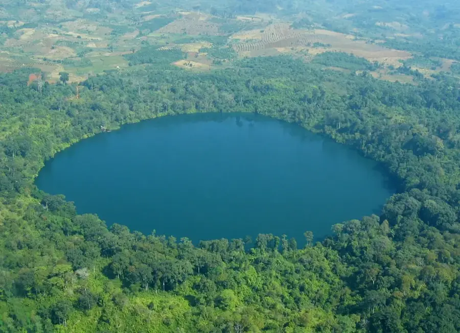
The Mondulkiri Plateau is situated in eastern Cambodia and is geographically defined by its rolling grass-covered hills and dense primary forests. With an average elevation of about 800 meters above sea level, it enjoys a much cooler climate than the humid Cambodian lowlands. The region is the ancestral home of the Bunong people, an indigenous group known for their traditional relationship with nature and elephants. Mondulkiri is famous for its spectacular waterfalls, most notably the Bousra Waterfall, which cascades in two major tiers deep within the jungle. Economically, the province has grown in importance due to large-scale coffee, pepper, and rubber plantations, though this has raised concerns about deforestation. The plateau remains a vital sanctuary for endangered wildlife, including Asian elephants and Banteng wild cattle. Tourism in the area focuses heavily on ecotourism and ethical elephant conservation projects, with the provincial capital Senmonorom serving as the main gateway. The plateau's distinctive red soil is a geological legacy of volcanic activity from millions of years ago.
- Location: Cambodia
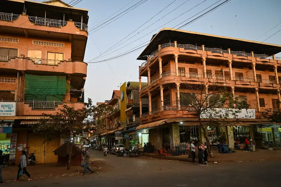
- Top sights: Chamkatae's Church & Orphanage Center · Kouprey Roundabout · Dokramon Pagoda
- Nearby: Lumphat (41 km)
Best time to visit & climate
The most pleasant time to visit is Jan, Feb, Dec.
| Jan | Feb | Mar | Apr | May | Jun | Jul | Aug | Sep | Oct | Nov | Dec | |
|---|---|---|---|---|---|---|---|---|---|---|---|---|
| Avg °C | 25 | 27 | 30 | 31 | 29 | 27 | 26 | 26 | 26 | 26 | 26 | 25 |
| Rain mm | 6 | 2 | 9 | 28 | 103 | 161 | 168 | 187 | 143 | 115 | 63 | 18 |
📋 Practical info
Geography
Facts
- The plateau sits at an average elevation of 800 meters.
- Mondulkiri is Cambodia's largest province, covering 14,300 km².
- Bousra Waterfall features two tiers with a combined drop of 30m.
- The Bunong people constitute roughly 50% of the local population.
- This region is the primary source of coffee production in Cambodia.
- The red volcanic soil dates back approximately 5 to 10 million years.
Explore nearby
Notable places around
Route planner — Car & Motorhome
Where do you start? We build the route here, with stops and country notes along the way.
© OpenStreetMap contributors · OpenRouteService
Sights in the town Mondulkiri Plateau (3)
Sights nearby
Frequently asked questions
Why visit Mondulkiri?
Are there waterfalls?
Who are the Bunong?
What is the weather like?
Is coffee grown there?
Mondulkiri Plateau: where is it located?
Mondulkiri Plateau: what is there to see?
Mondulkiri Plateau: when is the best time to visit?
Mondulkiri Plateau: why is it worth visiting?

Nearby cities
Nature
More places