Plizio Visual Lab
Tà Đùng Lake
Weather…
Water temperature…
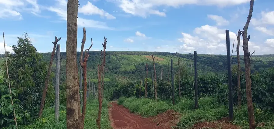
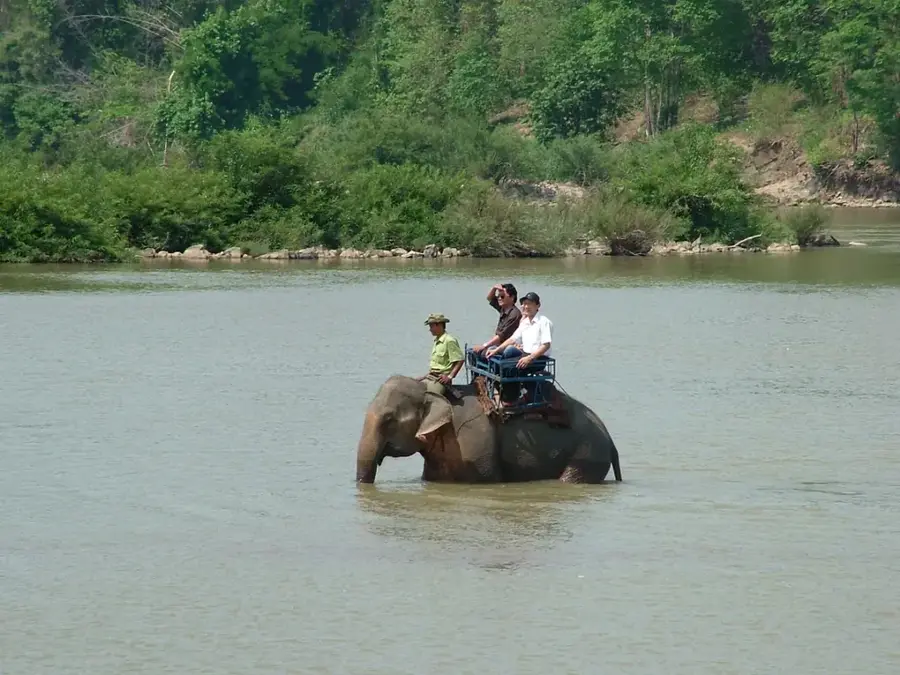
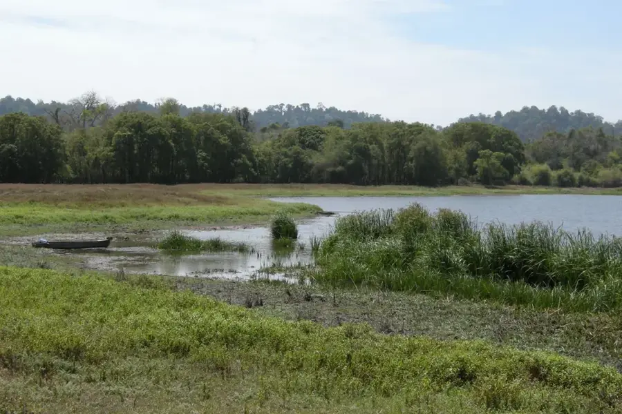
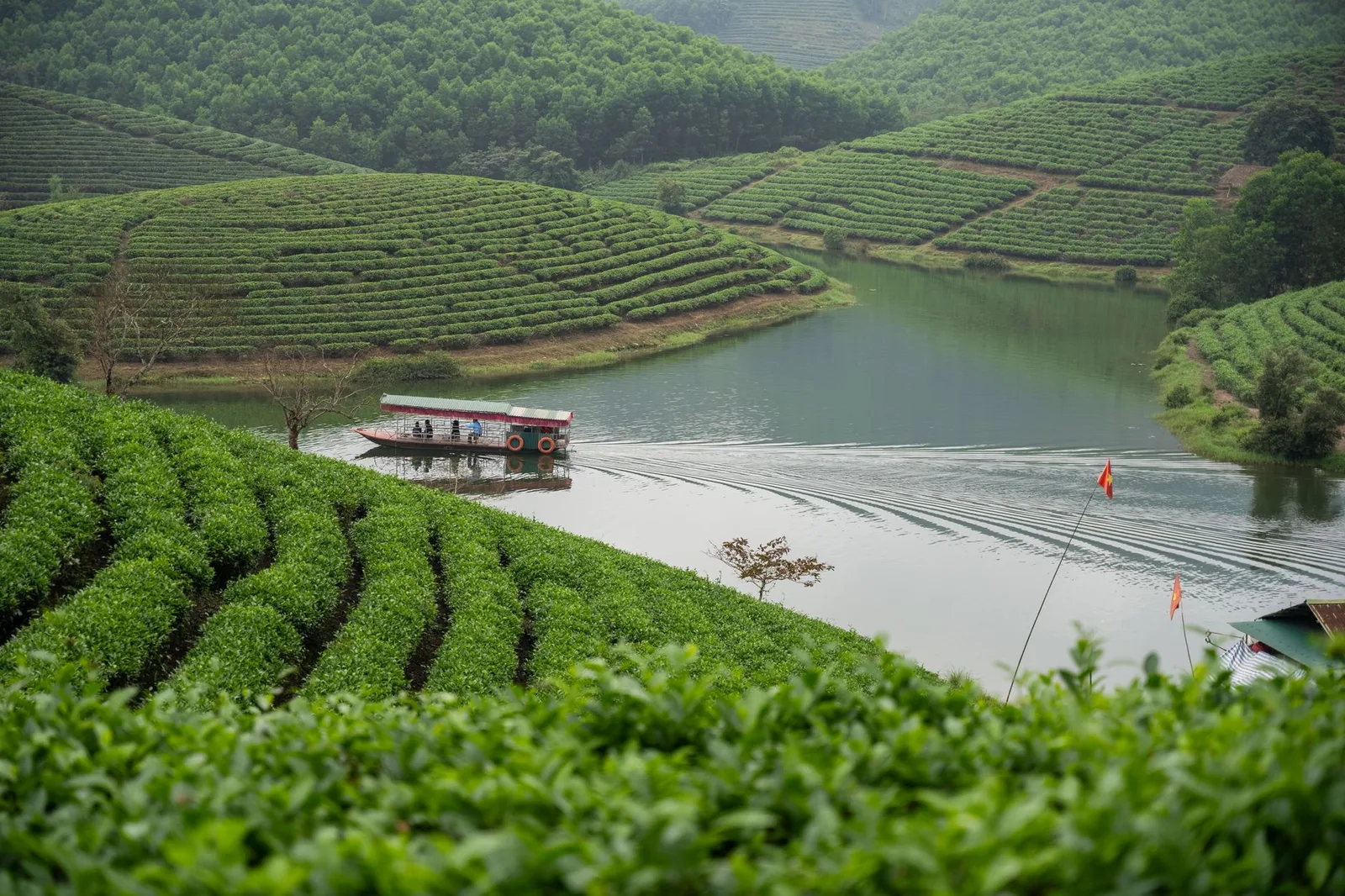
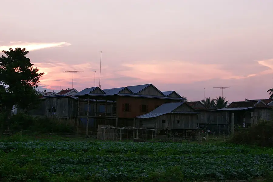
Ta Dung Lake is located within the Ta Dung Nature Reserve in Dak Nong province, in the Central Highlands of Vietnam. Originally a valley, the lake was created by the construction of the Dong Nai 3 hydropower project, forming a vast reservoir with a surface area of approximately 5,000 hectares. The lake is characterized by more than 40 islands and peninsulas of varying sizes, created by the flooding of hilltops. Due to this appearance, the lake is often referred to as the "Ha Long Bay of the Highlands." The region surrounding the lake is enveloped by primary rainforests that host a rich variety of flora and fauna, including many endemic species. The average altitude of the area is around 1,000 meters, resulting in a mild climate. The lake plays an important role in regional power generation and the maintenance of the local ecosystem, while also serving as a significant destination for nature-based tourism.
- Location: Vietnam
- Top sights: Giáo xứ Quảng Phúc · Hội thánh Tin lành Quảng Khê · Trung tâm Thương mại Đăk Glong
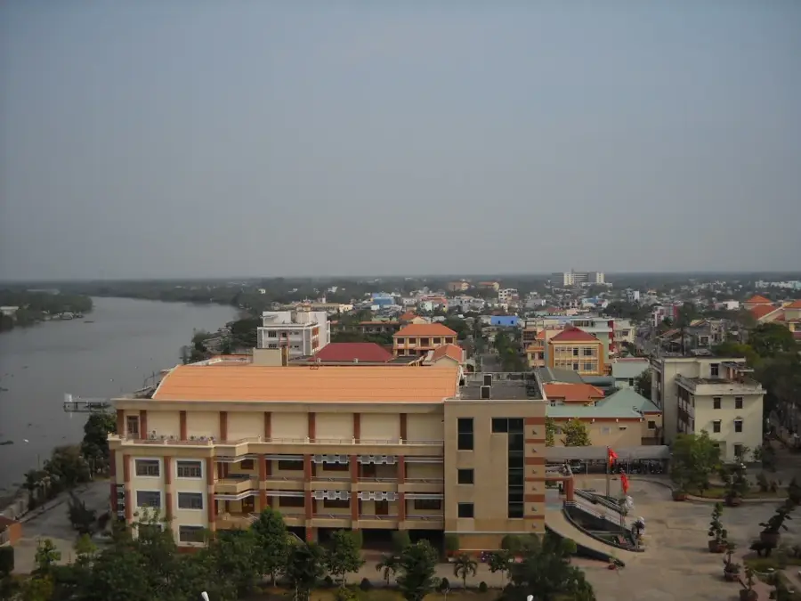
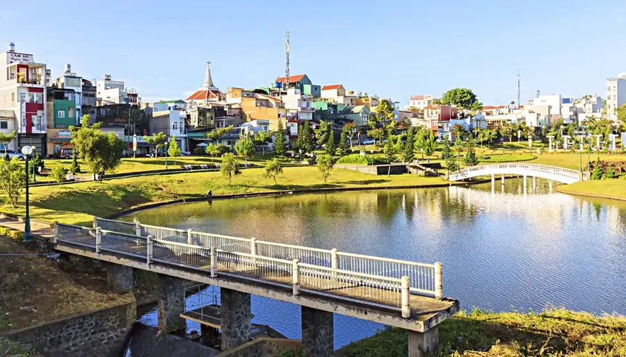
- Nearby: Bảo Lộc (15 km)
Best time to visit & climate
The most pleasant time to visit is Jan, Feb, Dec.
| Jan | Feb | Mar | Apr | May | Jun | Jul | Aug | Sep | Oct | Nov | Dec | |
|---|---|---|---|---|---|---|---|---|---|---|---|---|
| Avg °C | 20 | 22 | 24 | 25 | 25 | 23 | 23 | 23 | 23 | 22 | 22 | 20 |
| Rain mm | 14 | 4 | 11 | 30 | 112 | 127 | 137 | 154 | 166 | 154 | 118 | 48 |
📋 Practical info
Geography
Facts
- The lake's water surface area is approximately 5,000 hectares.
- The lake hosts more than 40 islands and peninsulas.
- Ta Dung Nature Reserve covers a total of about 22,000 hectares.
- The summit of Ta Dung Mountain is the highest elevation at 1,982 meters.
- The lake was created by the damming of the Dong Nai River.
- The region is home to over 1,000 documented species of plants and animals.
Explore nearby
Notable places around
Route planner — Car & Motorhome
Where do you start? We build the route here, with stops and country notes along the way.
© OpenStreetMap contributors · OpenRouteService
Sights in the town Tà Đùng Lake (3)
Sights nearby
Frequently asked questions
What is special about Tà-Đùng Lake?
Can you camp there?
When is the best time to visit?
How do you reach the viewpoint?
Are there many tourists there?
Tà Đùng Lake: where is it located?
Tà Đùng Lake: what is there to see?
Tà Đùng Lake: when is the best time to visit?
Tà Đùng Lake: why is it worth visiting?

Nearby cities
Nature
More places