Plizio Visual Lab
Tapajós River
Weather…
Water temperature…
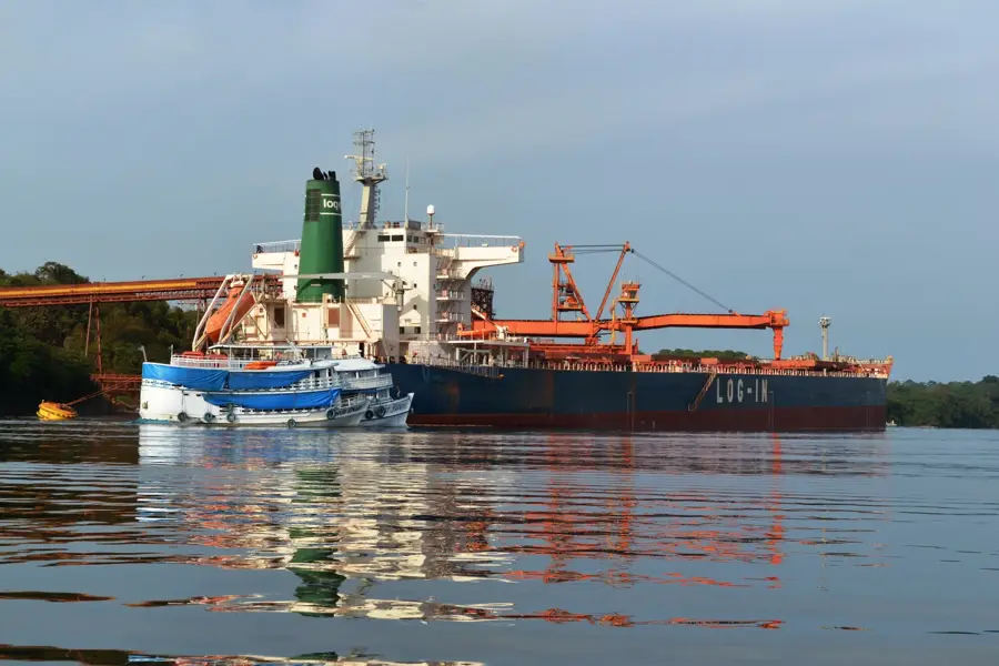
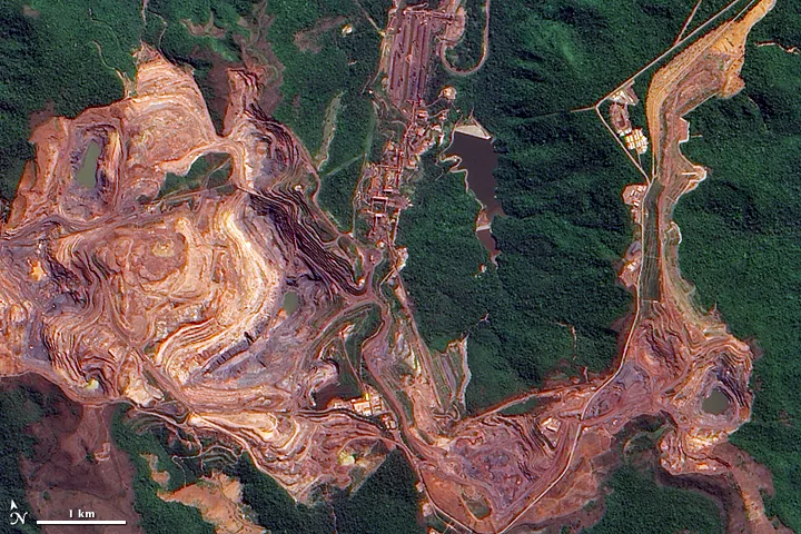
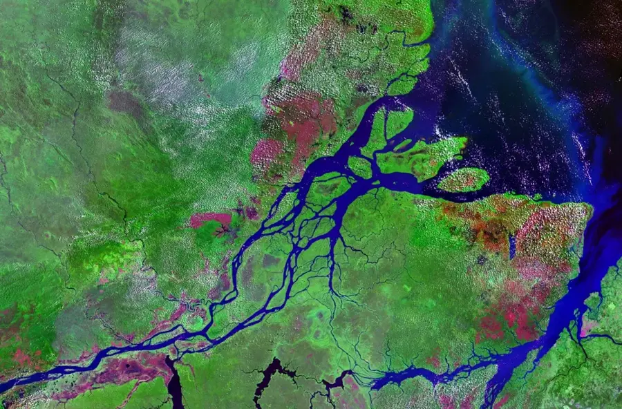
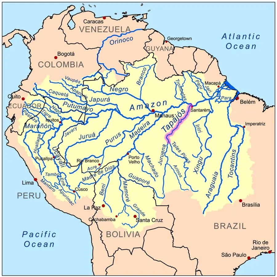
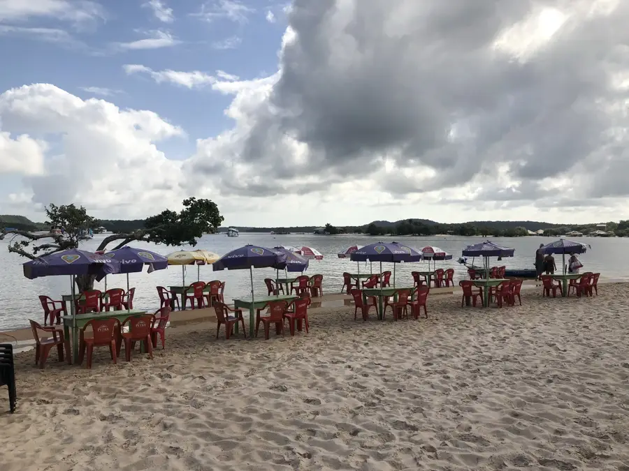
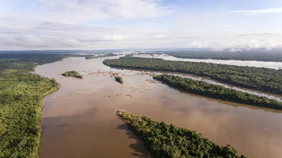
The Tapajós River is one of the Amazon's largest tributaries, distinguished by its clear, blue-green waters. Formed by the confluence of the Teles Pires and Juruena rivers, it flows for over 800 kilometers (1,900 km including source rivers) through Pará state. Unlike many other Amazonian tributaries, the Tapajós carries very little sediment, giving it a unique transparency. At the city of Santarém, it meets the Amazon, where the boundary between the clear and muddy waters remains sharply defined. The river is famous for its remarkable sandy beaches, such as Alter do Chão, often called the 'Caribbean of the Amazon.' The region hosts significant conservation areas like the Amazônia National Park, protecting an enormous variety of flora and fauna. Historically, the river is known for 'Fordlândia,' a rubber plantation established by Henry Ford that is now a ghost town. Currently, protecting the river from planned dam projects and illegal gold mining is a major focus for international environmentalists.
Best time to visit & climate
The most pleasant time to visit is Jun–Aug.
| Jan | Feb | Mar | Apr | May | Jun | Jul | Aug | Sep | Oct | Nov | Dec | |
|---|---|---|---|---|---|---|---|---|---|---|---|---|
| Avg °C | 26 | 25 | 25 | 25 | 25 | 25 | 26 | 27 | 29 | 29 | 28 | 27 |
| Rain mm | 214 | 277 | 296 | 245 | 185 | 88 | 60 | 46 | 50 | 91 | 113 | 156 |
📋 Practical info
Geography
Facts
- The main channel is 800 km long, the total system about 1,900 km.
- The mouth at Santarém is over 12 km wide in some places.
- Its drainage basin covers approximately 492,000 square km.
- Alter do Chão has been voted one of the most beautiful beaches in the world.
- Henry Ford invested millions in the town of Fordlândia in the 1920s.
- The river is home to the rare Tapajós river dolphin.
Route planner — Car & Motorhome
Where do you start? We build the route here, with stops and country notes along the way.
© OpenStreetMap contributors · OpenRouteService
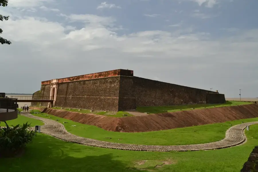
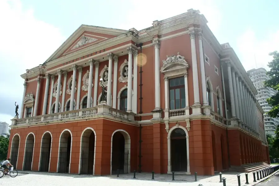
Sights nearby
Frequently asked questions
What is special about the water of the Rio Tapajós?
Where is 'Alter do Chão' located?
Are there beaches on the river?
Can you see dolphins in the Rio Tapajós?
Which national park is located in this region?
Tapajós River: where is it located?
Tapajós River: when is the best time to visit?
Tapajós River: why is it worth visiting?

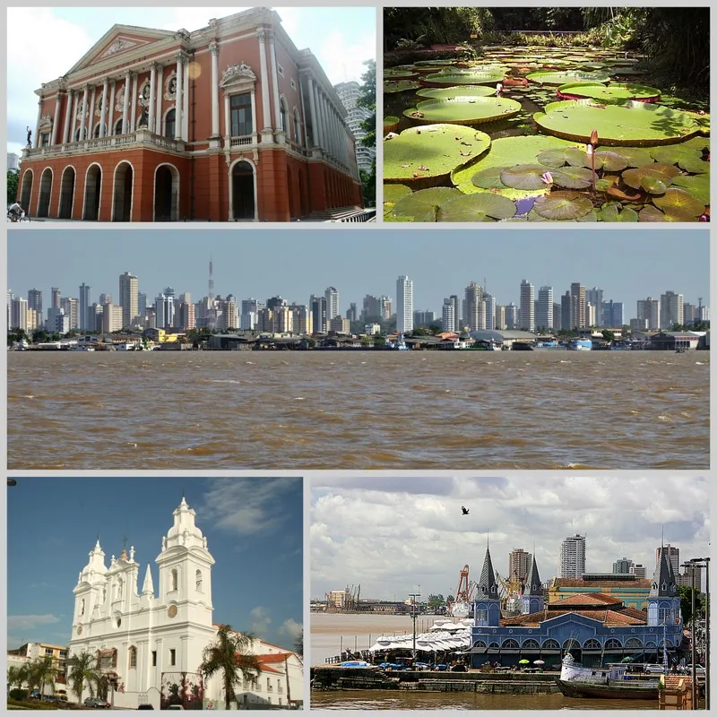
Nearby cities
Nature
More places