Plizio Visual Lab
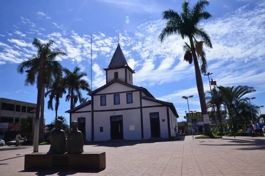
Chapada dos Guimaraes
ℹ️Practical info — Chapada dos Guimaraes
▾
🌤 Weather — 5 days
📍 Nearby
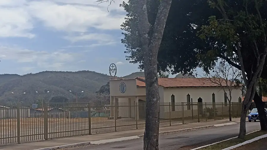
Sights nearby
Water temperature…
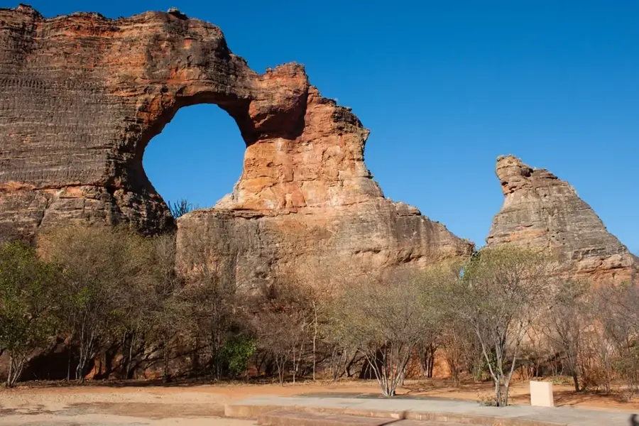
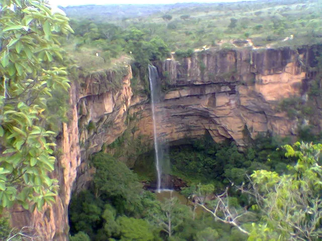
Chapada dos Guimarães is both an impressive national park and the name of the adjacent small town in the state of Mato Grosso. The landscape is dominated by sheer, reddish sandstone cliffs that rise abruptly from the Cerrado savanna. This unique ecosystem harbors a rich diversity of flora and fauna, including numerous endemic species. The park's most iconic landmark is the Véu de Noiva (Bridal Veil) waterfall, which plunges 86 meters into a forested canyon. Visitors can explore numerous hiking trails that lead to other waterfalls, caves, and sweeping viewpoints like the Mirante do Centro Geodésico, from which you can see all the way to the Pantanal wetlands on a clear day. The drier season from May to September is the best time for outdoor activities, as heavy rains can render some trails slippery and inaccessible during the wet season. The Chapada is easily reached in just an hour's drive (around 65 kilometers) from the state capital, Cuiabá, making it an accessible natural escape.
- Location: Brazil
- Top sights: Morro dos Ventos · Mirante Penhasco II · Mirante Penhasco
- Population: ~19.374 (2025)
Geography
Facts
- A national park in Mato Grosso.
- Famous for the Cerrado biome.
- Highest point is over 800 meters.
- Véu de Noiva falls 86 meters.
- Geodesic center of South America.
- Features red sandstone cliffs.
- Only 65 km away from Cuiabá.
- Highly popular for ecotourism.
Route planner — Car & Motorhome
Where do you start? We build the route here, with stops and country notes along the way.
© OpenStreetMap contributors · OpenRouteService
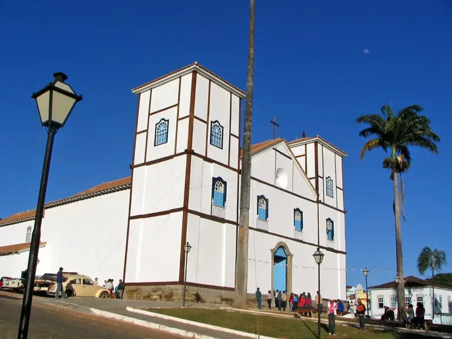
Sights in the town Chapada dos Guimaraes (8)
Frequently asked questions
Chapada dos Guimaraes: where is it located?
Chapada dos Guimaraes: what is there to see?
Chapada dos Guimaraes: why is it worth visiting?

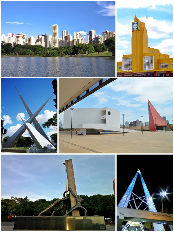
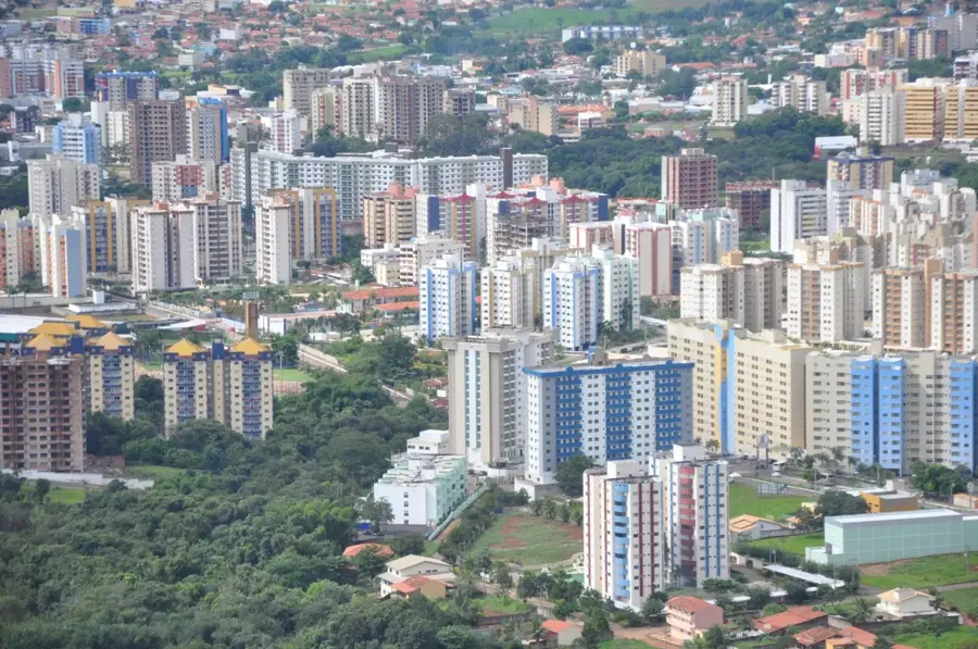
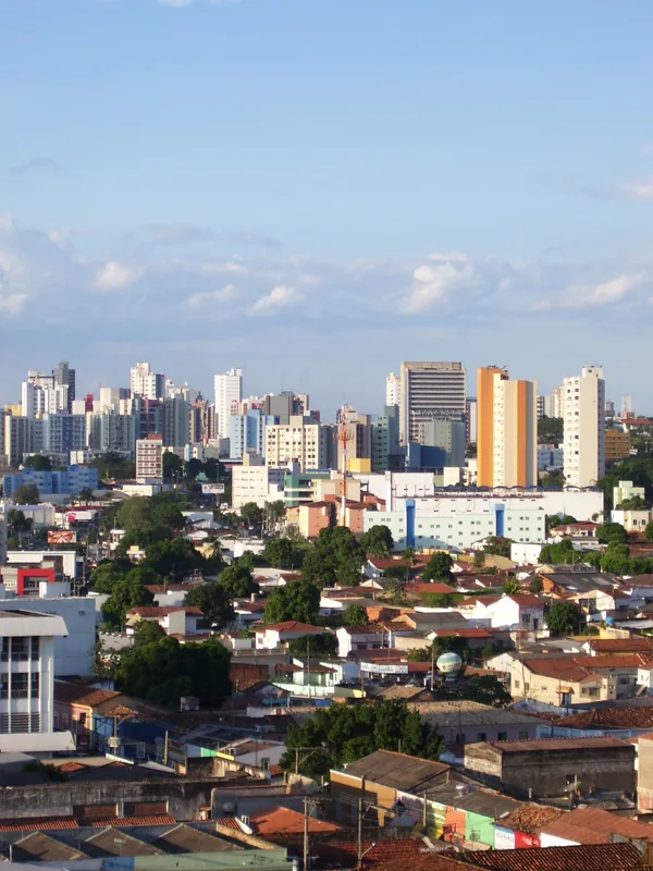
Nearby cities
More places